Nurton Wood

Wood, Forest in Herefordshire

England

Nurton Wood

A good old fashioned (working!) phone box! Yes - it DID work, but not with cash!!!!!!
Near the entrance to Berrington Hall, nr Leominster
A good old fashioned (working!) phone box! Credit: Ian Hughes

Nurton Wood is a picturesque forest located in the county of Herefordshire, England. Spread across an area of approximately 100 acres, it is known for its rich biodiversity and stunning natural beauty. The wood is situated near the village of Nurton and is easily accessible from nearby towns and cities.

The wood is primarily composed of native broadleaf trees, including oak, ash, beech, and birch. These majestic trees create a dense canopy, providing a cool and tranquil atmosphere within the wood. The forest floor is covered in a carpet of vibrant wildflowers, ferns, and mosses, adding to its enchanting charm.

Nurton Wood is home to a diverse range of wildlife, making it a haven for nature enthusiasts. Many species of birds can be spotted here, including woodpeckers, owls, and songbirds. The forest also provides a habitat for small mammals such as foxes, badgers, and squirrels.

The wood offers several walking trails and paths, allowing visitors to explore its natural wonders at their own pace. These trails provide opportunities for birdwatching, photography, and simply immersing oneself in the peaceful surroundings. Along the way, visitors can discover hidden clearings, bubbling streams, and captivating views of the Herefordshire countryside.

Nurton Wood is a cherished local treasure, often visited by families, hikers, and nature lovers. Its untouched beauty and serene atmosphere make it an ideal destination for those seeking solace in nature. Whether one is looking to relax, explore, or simply connect with the natural world, Nurton Wood offers a truly memorable experience.

If you have any feedback on the listing, please let us know in the comments section below.
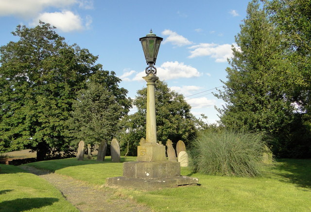
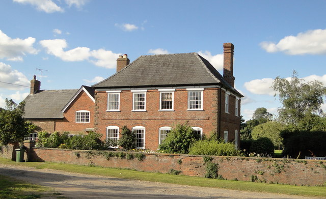
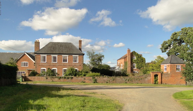
Nurton Wood Images

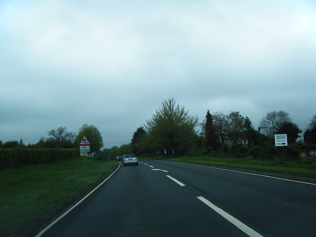
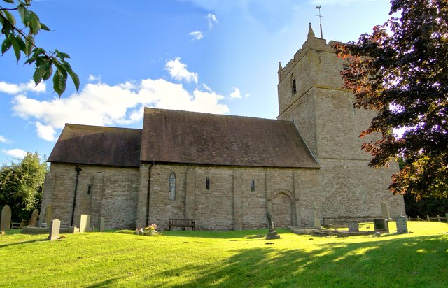
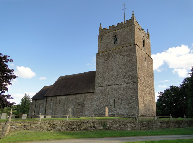
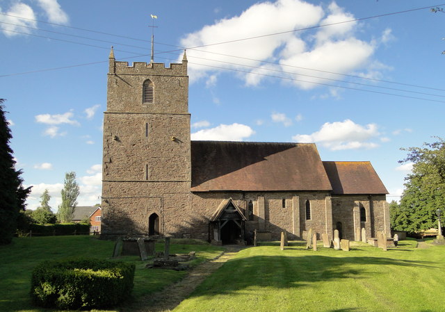
Images are sourced within 2km of 52.284473/-2.6893376 or Grid Reference SO5365. Thanks to Geograph Open Source API. All images are credited.

A good old fashioned (working!) phone box! Yes - it DID work, but not with cash!!!!!!
Near the entrance to Berrington Hall, nr Leominster
A good old fashioned (working!) phone box!
Yes - it DID work, but not with cash!!!!!! Near the entrance to Berrington Hall, nr Leominster
A49 at Hundred Lane junction
A49 near Castle Grounds
A49 south of Brimfield
Fields by the A49
Fields by the A49
St Mary, Middleton on the Hill The North side of this important late Norman church.
St Mary, Middleton on the Hill
The North side of this important late Norman church.
St Mary, Middleton on the Hill Way off the beaten track, with a gorgeous 17th century house for a neighbour, this late Norman church is well worth seeking out.
St Mary, Middleton on the Hill
Way off the beaten track, with a gorgeous 17th century house for a neighbour, this late Norman church is well worth seeking out.
St Mary, Middleton on the Hill The South side of this impressive church.
St Mary, Middleton on the Hill
The South side of this impressive church.
War Memorial, Middleton on the Hill No names are recorded on the memorial as Middleton on the Hill was one of the three Thankful Villages in Herefordshire, in that its sons and daughters went off to war in 1914-18 and 1939-45 and all returned safely. Knill and Pipe Aston shared this distinction with Middleton.
War Memorial, Middleton on the Hill
No names are recorded on the memorial as Middleton on the Hill was one of the three Thankful Villages in Herefordshire, in that its sons and daughters went off to war in 1914-18 and 1939-45 and all returned safely. Knill and Pipe Aston shared this distinction with Middleton.
Middleton Farm The church's elegant neighbour, dating from 1692.
Middleton Farm
The church's elegant neighbour, dating from 1692.
Middleton Farm The house and gazebo complement the neighbouring church perfectly. The house dates from 1692 and is still very much a working farmhouse.
Middleton Farm
The house and gazebo complement the neighbouring church perfectly. The house dates from 1692 and is still very much a working farmhouse.
A49 crossing a valley north of Ashton There is a speed limit through Ashton, but the straight road means that it is not observed by everyone, leading to accidents <a href="https://www.geograph.org.uk/photo/1422951">SO5164 : Post box, Ashton</a>
A49 crossing a valley north of Ashton
There is a speed limit through Ashton, but the straight road means that it is not observed by everyone, leading to accidents SO5164 : Post box, Ashton
Lay-by on A49 north of Ashton This lay-by was once part of the A49, which took a strange kink in its path before action was taken
Lay-by on A49 north of Ashton
This lay-by was once part of the A49, which took a strange kink in its path before action was taken
Mobile phone mast by A49 near Merryvale Farm On the left is the northern end of a lay-by
Mobile phone mast by A49 near Merryvale Farm
On the left is the northern end of a lay-by
Car for sale by the A49 For those who buy cars on impulse, perhaps?  The wide verge was once the route taken by the A49, now straightened here.
Car for sale by the A49
For those who buy cars on impulse, perhaps? The wide verge was once the route taken by the A49, now straightened here.
Sign for garden centre near Brimfield
Road into Brimfield from A49 The A49 once ran through the village, but now bypasses it
Road into Brimfield from A49
The A49 once ran through the village, but now bypasses it
Layby near Brimfield The A49 south of Ludlow was greatly improved in the late 1960s. Bends were straightened out at Ashford Bowdler, Ashton, Stockton's Cross, Dinmore, Wellington and Moreton. Some of the bends were left as laybys.

For some idea as to what the road was like before, look at the stretch south of Bayston Hill.
Layby near Brimfield
The A49 south of Ludlow was greatly improved in the late 1960s. Bends were straightened out at Ashford Bowdler, Ashton, Stockton's Cross, Dinmore, Wellington and Moreton. Some of the bends were left as laybys. For some idea as to what the road was like before, look at the stretch south of Bayston Hill.
Show me another place!

Nurton Wood is located at Grid Ref: SO5365 (Lat: 52.284473, Lng: -2.6893376)

Unitary Authority: County of Herefordshire

Police Authority: West Mercia

What 3 Words

///shakes.relieves.impulse. Near Kimbolton, Herefordshire

Nearby Locations

Nurton Wood

Related Wikis

Middleton on the Hill

Middleton on the Hill is a village in north east Herefordshire, England, near the border with Worcestershire. Middleton-on-the-Hill lies a few miles to...

Ashton, Herefordshire

Ashton is a village in the Eye, Moreton and Ashton civil parish of Herefordshire, England, and is 3 miles (5 km) north from Leominster, 15 miles (24 km...

Brimfield, Herefordshire

Brimfield is a village and civil parish in north Herefordshire, England. The village lies on the A49 road at the border with Shropshire. To the south,...

Wyson

Wyson is a hamlet in north Herefordshire, England, situated west of the A49 road and the adjacent village of Brimfield.It lies in the civil parish of Brimfield...

Have you been to Nurton Wood?

Leave your review of Nurton Wood below (or comments, questions and feedback).