Buckholme Wood
Wood, Forest in Westmorland Eden
England
Buckholme Wood
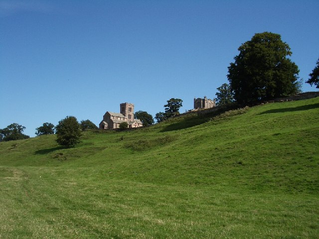
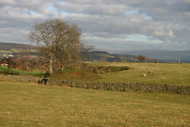
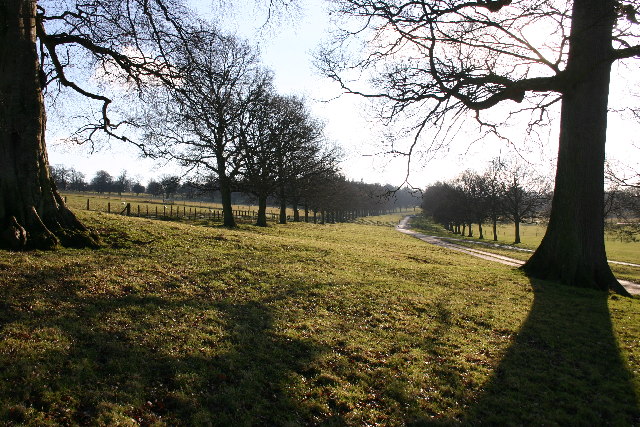
Buckholme Wood is a picturesque forest located in the county of Westmorland, in the northwest region of England. Situated amidst the stunning natural beauty of the Lake District National Park, this woodland area covers a vast expanse of approximately 100 acres.
The forest is characterized by its diverse range of tree species, including oak, beech, birch, and ash. These towering trees create a dense canopy, providing shelter to a variety of wildlife that calls Buckholme Wood home. Visitors to the forest can often spot deer, rabbits, squirrels, and a myriad of bird species, making it a haven for nature enthusiasts and wildlife photographers.
Tranquil walking trails meander through the woodland, offering visitors the opportunity to immerse themselves in the serene atmosphere and admire the breathtaking surroundings. The paths are well-maintained and suitable for all levels of fitness, making it an ideal destination for families and individuals seeking a peaceful retreat.
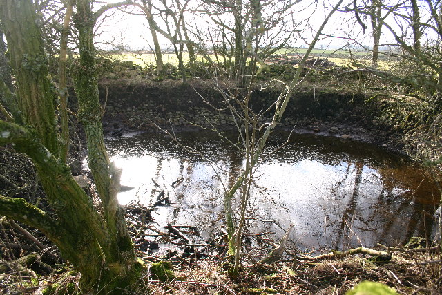
Buckholme Wood is also notable for its historical significance. It is believed that the forest has been in existence for centuries, serving as a vital resource for the local community. The trees have been carefully managed over the years, ensuring their preservation and contributing to the overall health of the woodland ecosystem.
This idyllic forest is a true gem in the heart of Westmorland, providing a sanctuary for both nature and humans alike. Whether one seeks solace in the tranquility of nature or wishes to explore the abundant wildlife, Buckholme Wood offers a captivating experience that will leave visitors with lasting memories.
If you have any feedback on the listing, please let us know in the comments section below.
Buckholme Wood Images
Images are sourced within 2km of 54.621193/-2.7353274 or Grid Reference NY5225. Thanks to Geograph Open Source API. All images are credited.


Buckholme Wood is located at Grid Ref: NY5225 (Lat: 54.621193, Lng: -2.7353274)
Administrative County: Cumbria
District: Eden
Police Authority: Cumbria
What 3 Words
///tweezers.persuade.footsteps. Near Penrith, Cumbria
Nearby Locations
Related Wikis

Clifton Moor Skirmish
The Clifton Moor Skirmish took place on the evening of Wednesday 18 December during the Jacobite rising of 1745. Following the decision to retreat from...

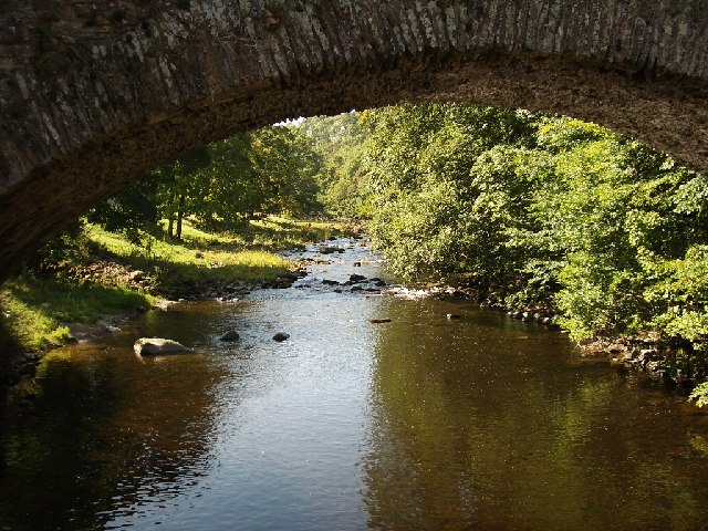
River Lowther
The River Lowther is a small river which flows through limestone rock in Cumbria, England. It is a tributary of the River Eamont which in turn is a tributary...

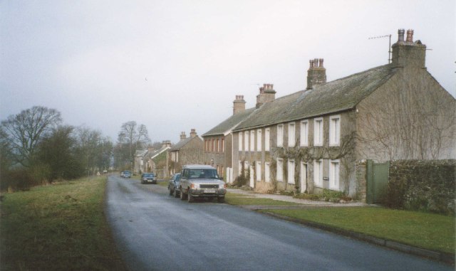
Clifton, Cumbria
Clifton is a small linear village and civil parish in Cumbria, England. Historically part of Westmorland, it lies 3 miles (4.8 km) south east of Penrith...

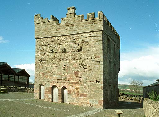
Lowther Castle Stead
Lowther Castle Stead is a medieval site in Cumbria, possibly a ringwork castle. Lancaster University Archaeology Unit carried out a survey of the earthworks...

Clifton and Lowther railway station
Clifton & Lowther railway station was a station on the Lancaster and Carlisle Railway (L&CR) south of Penrith near to the village of Clifton. Although...

Askham Hall
Askham Hall is a country house near Askham in Cumbria. It is a Grade I listed building. == History == A peel tower was built on the site during the 14th...
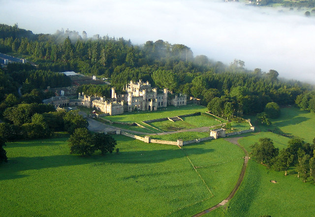
Lowther Castle
Lowther Castle is a country house in the historic county of Westmorland, which now under the current unitary authority of Westmorland and Furness, in the...
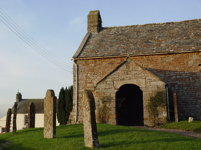
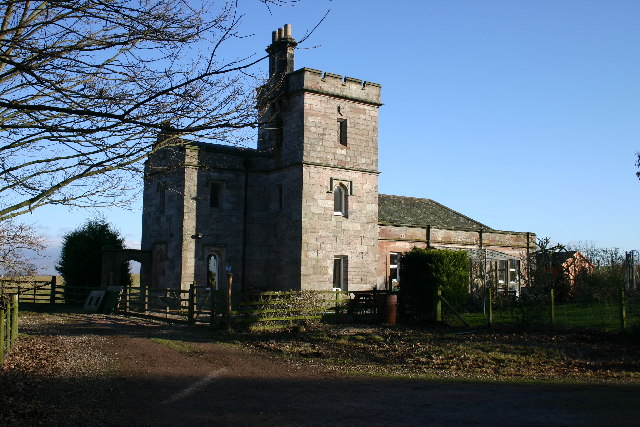
Clifton Hall, Cumbria
Clifton Hall was a fortified manor house in the village of Clifton, Cumbria. Dating from around 1400, it was constructed by either Elianor Engaine or her...
Nearby Amenities
Located within 500m of 54.621193,-2.7353274Have you been to Buckholme Wood?
Leave your review of Buckholme Wood below (or comments, questions and feedback).