Moor's Plantation
Wood, Forest in Somerset South Somerset
England
Moor's Plantation
Moor's Plantation is a picturesque woodland located in Somerset, England. Spanning over a vast area, it is a popular destination for nature lovers and outdoor enthusiasts alike. The plantation is situated in close proximity to the town of Wood and surrounded by beautiful countryside, providing visitors with a tranquil and serene environment.
The woodland is predominantly made up of a variety of trees, including oak, ash, and beech, which creates a diverse and vibrant ecosystem. Walking through the plantation, visitors can enjoy the sight of towering trees, lush greenery, and an abundance of wildlife. The forest floor is covered in moss and ferns, adding to the enchanting atmosphere of the woodland.
Moor's Plantation offers numerous walking trails and paths, allowing visitors to explore the area at their own pace. These trails range from easy strolls to more challenging hikes, catering to different fitness levels and interests. Along the way, there are informative signposts that provide insights into the local flora and fauna, making it an educational experience as well.
The woodland is also home to a variety of wildlife, including deer, rabbits, and a wide range of bird species. Birdwatchers can spot woodpeckers, owls, and even migratory birds during certain times of the year.
In addition to its natural beauty, Moor's Plantation offers facilities for visitors, such as picnic areas, parking lots, and toilets. It is a family-friendly destination, ideal for a day out in nature. Whether it's for a leisurely walk, wildlife spotting, or simply enjoying the tranquility of the forest, Moor's Plantation is a must-visit location for nature enthusiasts in Somerset.
If you have any feedback on the listing, please let us know in the comments section below.
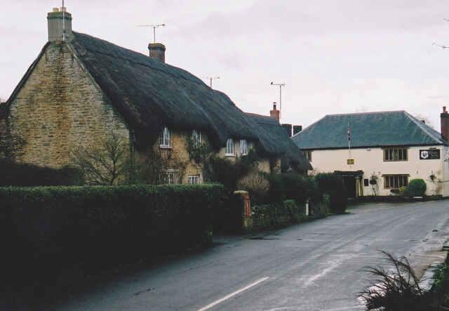
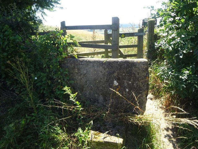
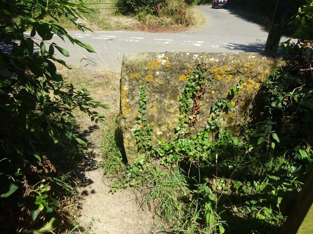
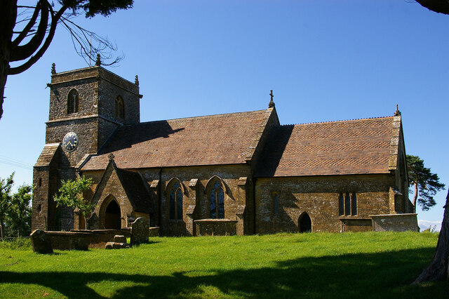
Moor's Plantation Images
Images are sourced within 2km of 50.902989/-2.6752708 or Grid Reference ST5211. Thanks to Geograph Open Source API. All images are credited.


Moor's Plantation is located at Grid Ref: ST5211 (Lat: 50.902989, Lng: -2.6752708)
Administrative County: Somerset
District: South Somerset
Police Authority: Avon and Somerset
What 3 Words
///burn.gullible.payback. Near West Coker, Somerset
Nearby Locations
Related Wikis

Hardington Mandeville
Hardington Mandeville is a village and civil parish in Somerset, England, situated 3 miles (4.8 km) south west of Yeovil in the South Somerset district...

Coker Court
Coker Court is a substantial manor house in East Coker, Somerset, England. It was built in the fifteenth and eighteenth centuries and has been designated...

Pendomer
Pendomer is a village and former parish in the parish of Closworth, 4.5 miles south-west of Yeovil, in the county of Somerset, England, and on the border...

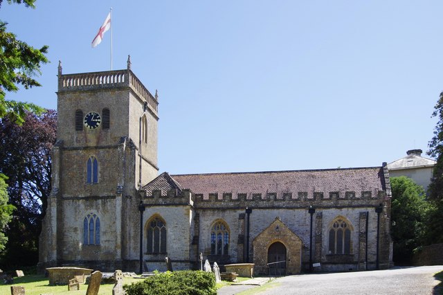
St Michael and All Angels' Church, East Coker
St Michael and All Angels’ Church is a Grade II* listed parish church in the Church of England in East Coker, Somerset. == History == The church dates...
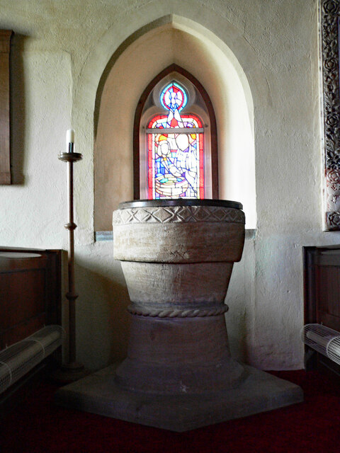
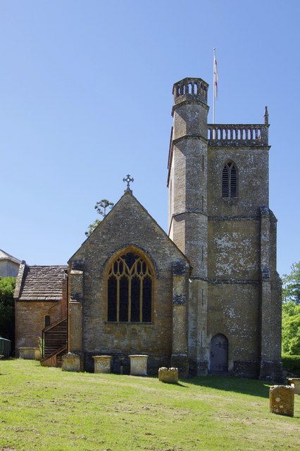
Church of St Mary, Hardington Mandeville
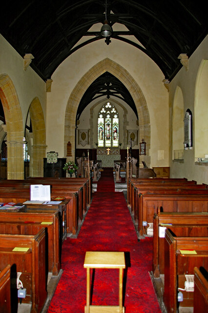
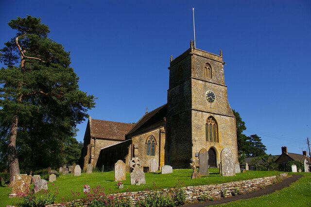
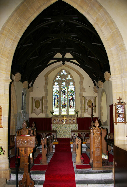
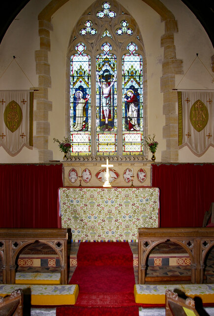
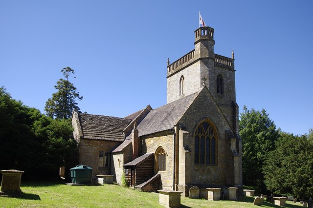
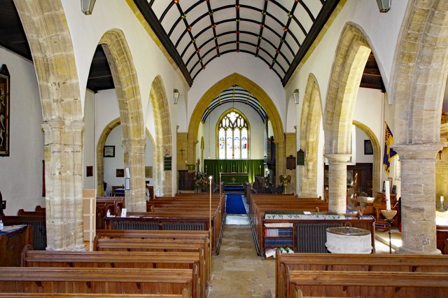
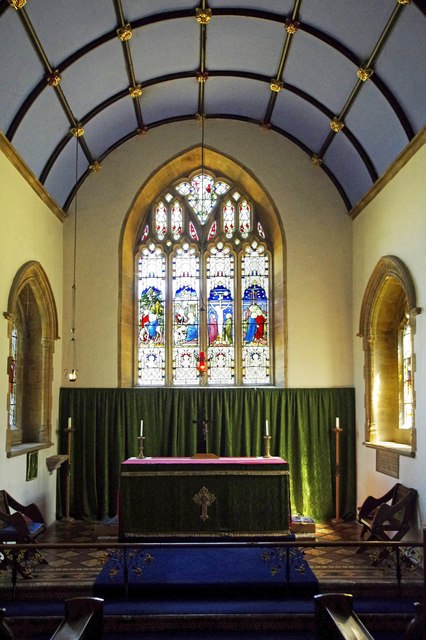
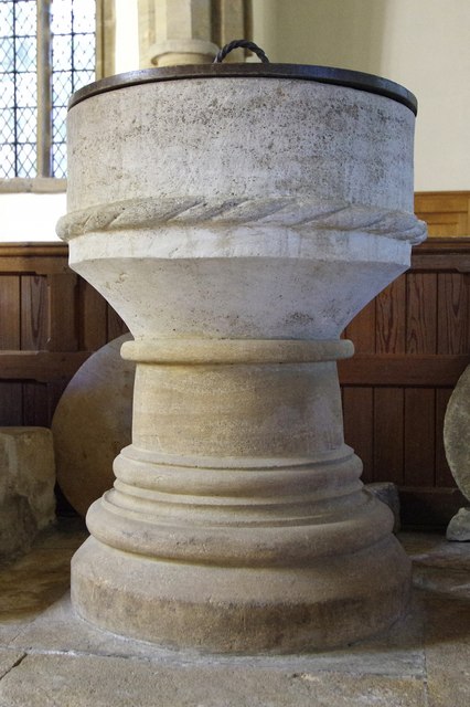
The Anglican Church of St Mary in Hardington Mandeville, Somerset, England was built in 1123. It is a Grade II* listed building. == History == The church...
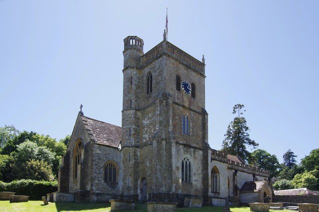
Church of St Roch, Pendomer
The Anglican Church of St Roch at Pendomer in Closworth, Somerset, England was built in the 14th century. It is a Grade II* listed building. == History... ==

Helyar Almshouses
The Helyar Almshouses were erected between 1640 and 1660 by William Helyar Archdeacon of Barnstable of Coker Court, East Coker, Somerset, England. The...

Hardington Moor
Hardington Moor (grid reference ST515130) is an 8.7 hectare biological Site of Special Scientific Interest between Hardington Mandeville and West Coker...
Nearby Amenities
Located within 500m of 50.902989,-2.6752708Have you been to Moor's Plantation?
Leave your review of Moor's Plantation below (or comments, questions and feedback).