Dead Hill Wood
Wood, Forest in Somerset
England
Dead Hill Wood

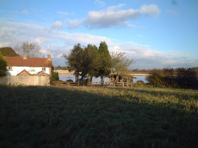
Dead Hill Wood is a picturesque woodland located in Somerset, England. Covering an area of approximately 50 hectares, it is a popular destination for nature lovers and outdoor enthusiasts. The wood is situated on a gently sloping hill, providing visitors with stunning panoramic views of the surrounding countryside.
The woodland is predominantly composed of native tree species such as oak, beech, and ash, creating a diverse and vibrant ecosystem. The trees form a dense canopy, allowing only dappled sunlight to reach the forest floor. This creates a cool and tranquil atmosphere, perfect for a peaceful walk or a picnic.
Dead Hill Wood is home to a variety of wildlife, including deer, foxes, and numerous bird species. Birdwatchers can spot woodpeckers, owls, and various songbirds within the wood's boundaries. The diverse flora and fauna make it an ideal location for nature enthusiasts to observe and appreciate the local biodiversity.
There are several well-maintained footpaths that meander through the wood, providing visitors with the opportunity to explore its beauty. These paths are suitable for all ages and abilities, making the wood accessible to everyone. Additionally, there are designated areas for camping and picnicking, allowing visitors to immerse themselves in the natural surroundings for an extended period.
Dead Hill Wood also has historical significance, as archaeological remains from the Iron Age have been discovered within its boundaries. These remnants serve as a reminder of the wood's long-standing presence in the local landscape.
Overall, Dead Hill Wood offers a serene and captivating experience for visitors, combining natural beauty, wildlife, and a glimpse into the region's past. It is a must-visit destination for those seeking a peaceful retreat in the heart of Somerset.
If you have any feedback on the listing, please let us know in the comments section below.
Dead Hill Wood Images
Images are sourced within 2km of 51.409252/-2.6865578 or Grid Reference ST5268. Thanks to Geograph Open Source API. All images are credited.


Dead Hill Wood is located at Grid Ref: ST5268 (Lat: 51.409252, Lng: -2.6865578)
Unitary Authority: North Somerset
Police Authority: Avon and Somerset
What 3 Words
///lions.year.guises. Near Long Ashton, Somerset
Nearby Locations
Related Wikis
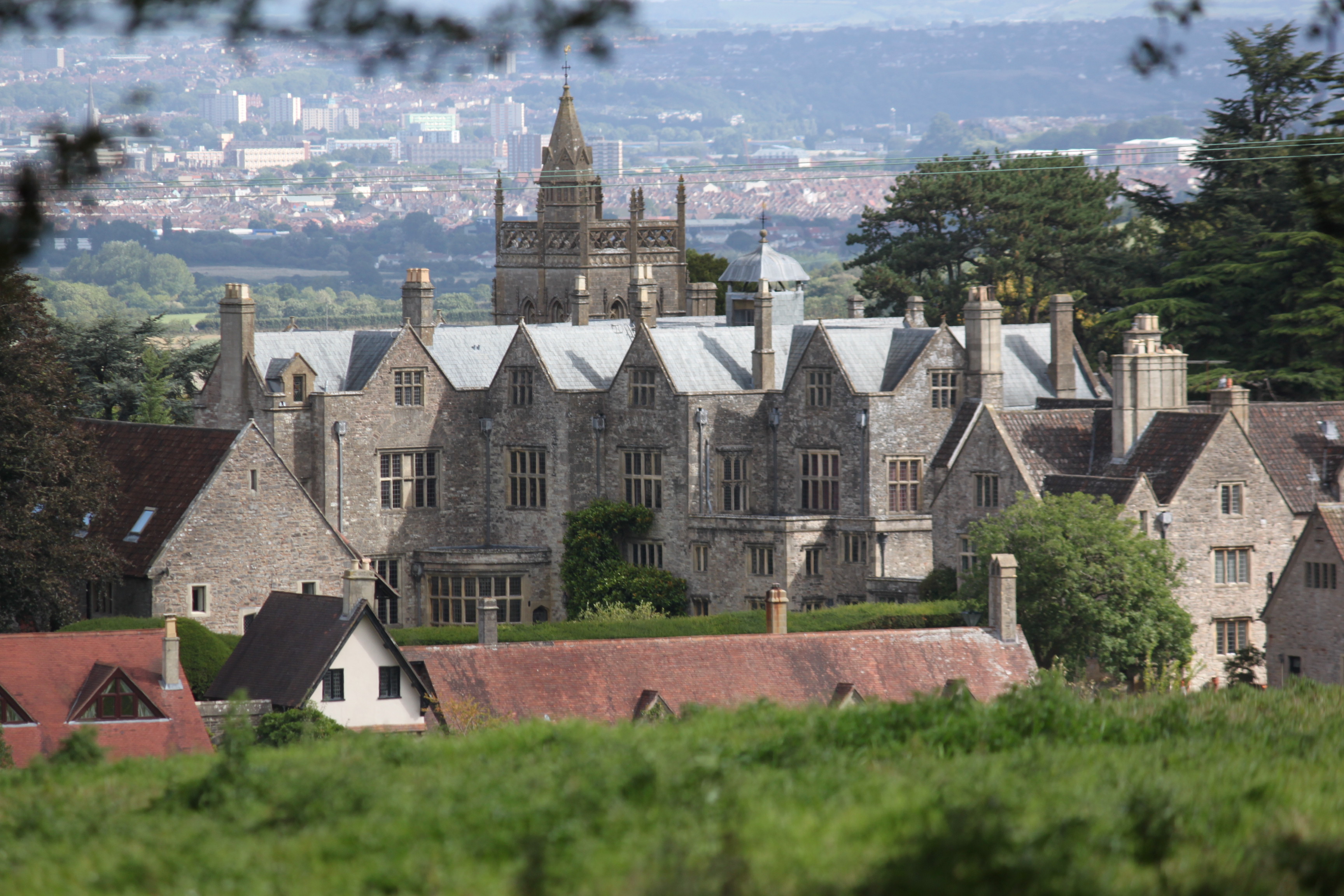
Barrow Court
Barrow Court is a manor house in Barrow Gurney, Somerset, England. The site was originally Barrow Gurney Nunnery and was rebuilt in the 16th and 19th centuries...

Barrow Gurney Nunnery
Barrow Gurney Nunnery (also called Minchin Barrow) was established around 1200 in Barrow Gurney Somerset, England. The Benedictine convent was founded...
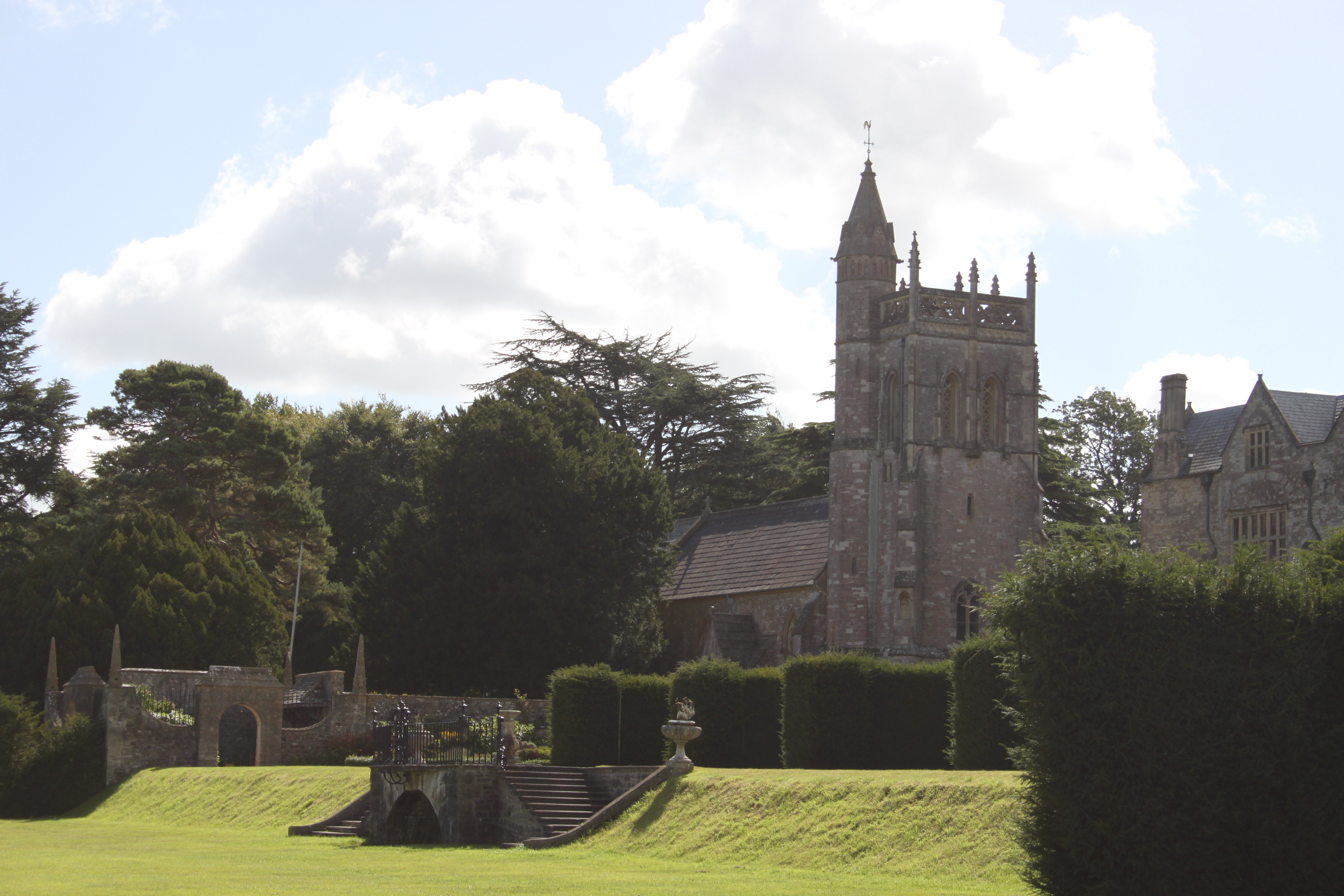
Church of St Mary and St Edward, Barrow Gurney
The Church of St Mary and St Edward is an Anglican parish church in Barrow Gurney, Somerset, England. It was built in the 12th century, but largely rebuilt...

Barrow Gurney
Barrow Gurney is a village and civil parish in Somerset, England, situated in the unitary authority of North Somerset on the B3130, midway between the...

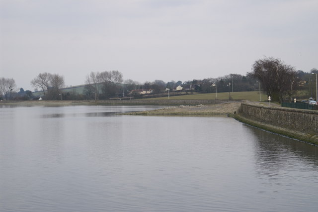
Barrow Gurney Reservoirs
Barrow Gurney Reservoirs (grid reference ST5468) (also known as Barrow Gurney Tanks or Barrow Tanks) are three artificial reservoirs for drinking water...

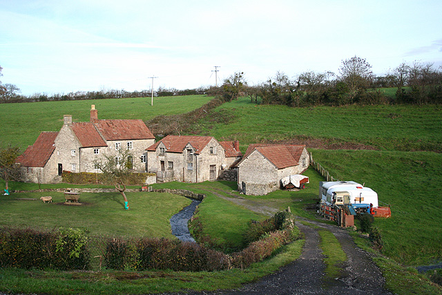
Gatcombe, Somerset
Gatcombe at Ashton Watering within the civil parish of Long Ashton, Somerset, England, is the location of a Grade II* listed building which was built on...

Barrow Hospital
Barrow Hospital (sometimes referred to as Barrow Gurney Hospital, or Barrow Gurney Psychiatric Institution) was a psychiatric hospital in Barrow Gurney...
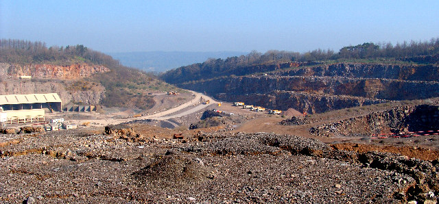
Stancombe Quarry
Stancombe Quarry is a quarry at Flax Bourton near Backwell in the North Somerset district of Somerset, England. The quarry which is operated by Tarmac...
Related Videos

BRISTOL to FARO AIRPORT TRAVEL DAY VLOG with EASYJET flight.
It's travel day! We have to get up at 3am this morning to leave a frosty UK for our Easyjet flight from Bristol Airport to Faro Airport in ...

ASMR Relaxing Autumn Walk Around Ashton Hill Plantation, England
A peaceful and relaxing evening walk around the Ashton Hill Plantation woodland near Bristol, England on a chilly autumn day.

Experience the 2023 NORTH SOMERSET SHOW | 4K Festival walking tour
Immersive Virtual Tour: Exploring the Exciting 2023 North Somerset Show - an agriculture festival in Wraxhall, Bristol England.

Nearby Amenities
Located within 500m of 51.409252,-2.6865578Have you been to Dead Hill Wood?
Leave your review of Dead Hill Wood below (or comments, questions and feedback).