Burling Coppice

Wood, Forest in Herefordshire

England

Burling Coppice

St Michael & All Angels, Bodenham The parish church of St Michael and All Angels at Bodenham is set in a beautiful location beside the peaceful River Lugg. The church is primarily 14th century, in the Decorated Gothic style. The church consists of a chancel, a 3-bay nave with clerestory, south and north aisles, and a solid west tower on a square plan topped by a truncated lantern spire.
St Michael & All Angels, Bodenham Credit: Eirian Evans

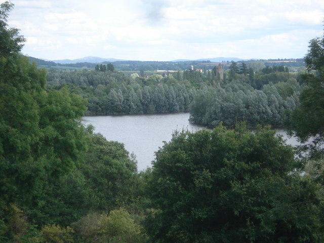
Burling Coppice is a picturesque wood located in the county of Herefordshire, England. Situated in the heart of the countryside, it covers an area of approximately 50 acres and is known for its stunning natural beauty and diverse range of flora and fauna.

The wood is predominantly made up of deciduous trees, such as oak, beech, and ash, which provide a rich and vibrant canopy during the summer months. In the autumn, the woods come alive with a kaleidoscope of colors as the leaves change, creating a breathtaking sight for visitors.

Burling Coppice is a haven for wildlife enthusiasts, as it is home to a variety of species. Birdwatchers can spot a range of feathered friends, including woodpeckers, owls, and various songbirds. The wood is also inhabited by small mammals such as squirrels, foxes, and badgers, making it an excellent place for nature lovers to explore and observe wildlife in its natural habitat.

Nature trails wind their way through the wood, allowing visitors to immerse themselves in its tranquility and enjoy the sights and sounds of the surrounding environment. These paths are well-maintained and suitable for walkers of all abilities, making Burling Coppice an accessible destination for outdoor enthusiasts.

Overall, Burling Coppice offers a peaceful retreat from the hustle and bustle of everyday life, allowing visitors to reconnect with nature and enjoy the beauty of Herefordshire's woodlands.

If you have any feedback on the listing, please let us know in the comments section below.

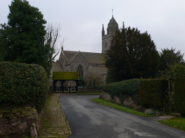
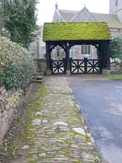
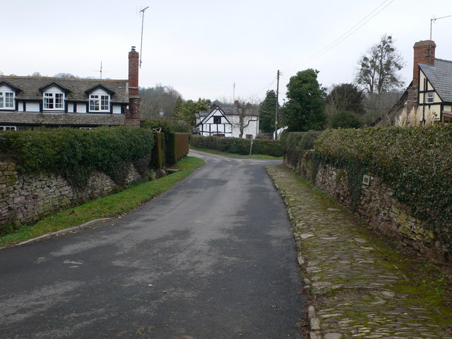
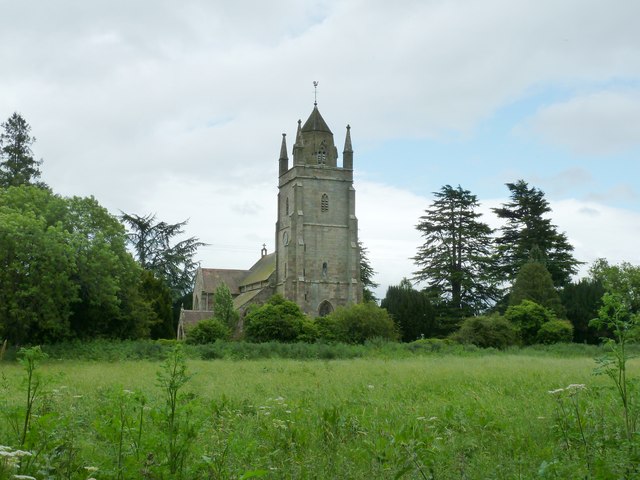
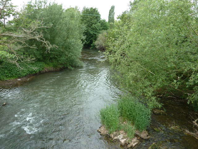
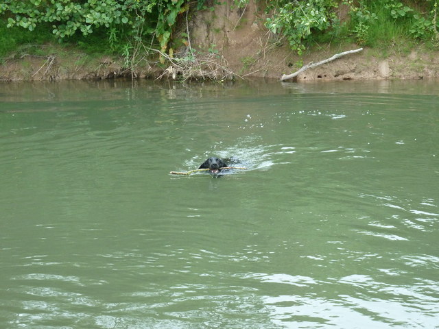
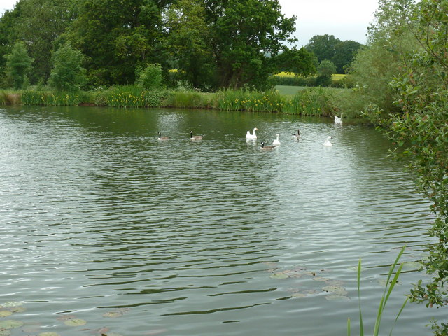
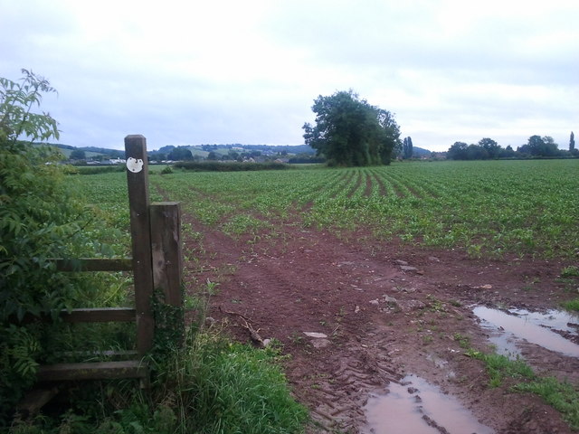
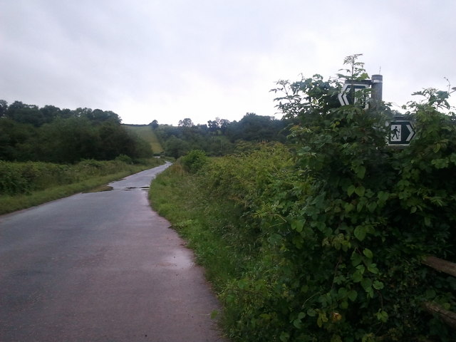
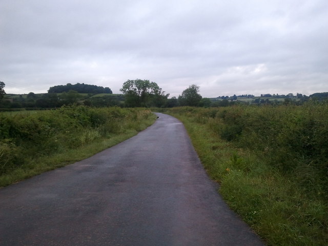
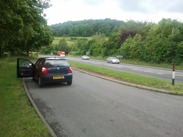
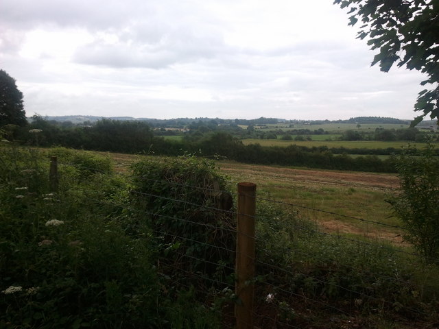
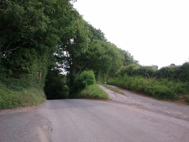
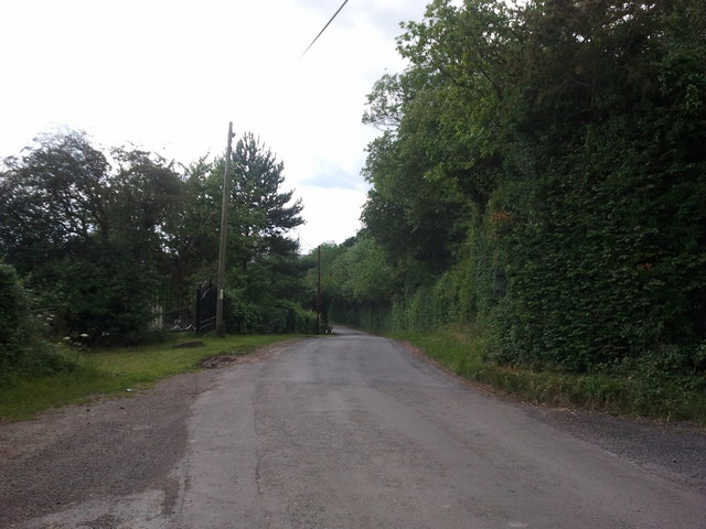
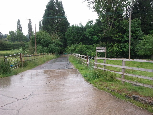
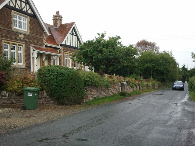
Burling Coppice Images

Images are sourced within 2km of 52.14146/-2.7001609 or Grid Reference SO5249. Thanks to Geograph Open Source API. All images are credited.

St Michael & All Angels, Bodenham The parish church of St Michael and All Angels at Bodenham is set in a beautiful location beside the peaceful River Lugg. The church is primarily 14th century, in the Decorated Gothic style. The church consists of a chancel, a 3-bay nave with clerestory, south and north aisles, and a solid west tower on a square plan topped by a truncated lantern spire.
St Michael & All Angels, Bodenham
The parish church of St Michael and All Angels at Bodenham is set in a beautiful location beside the peaceful River Lugg. The church is primarily 14th century, in the Decorated Gothic style. The church consists of a chancel, a 3-bay nave with clerestory, south and north aisles, and a solid west tower on a square plan topped by a truncated lantern spire.
Path to St Michael's  Ancient stone pavement leading to St Michael's & All Angels, Bodenham
Path to St Michael's
Ancient stone pavement leading to St Michael's & All Angels, Bodenham
Bodenham, Church Lane Looking back towards the village from the church.
Bodenham, Church Lane
Looking back towards the village from the church.
St Michael's and All Angels church Bodenham
River Lugg at Bodenham
Doggy paddling in the River Lugg
Fishing lake near Little Berrington
Very wet public footpath near Bodenham
Footpath crossing lane, near Bodenham
Lane near Bodenham
Lane near Bodenham
Ex railway station at Dinmore Hill
Layby on the A49 near Dinmore
Fields next to the A49 near Dinmore Hill
Steep hill to the left, bridleway to the right
Lane to Marden
Lane to Marden
Track to Bodenham Lakes nature reserve
Houses on the edge of Bodenham
Farm buildings and house
Show me another place!

Burling Coppice is located at Grid Ref: SO5249 (Lat: 52.14146, Lng: -2.7001609)

Unitary Authority: County of Herefordshire

Police Authority: West Mercia

What 3 Words

///ruin.replaying.means. Near Bodenham, Herefordshire

Related Wikis

Dinmore railway station (England)

Dinmore railway station served the villages of Bodenham and Hope under Dinmore, Herefordshire, England between 1853 and 1958. == History == The main line...

Bodenham

Bodenham is a village and civil parish in Herefordshire, England, and on a bend in the River Lugg, about seven miles south of Leominster. According to...

Marden, Herefordshire

Marden is a village and civil parish in the English county of Herefordshire. Marden village is approximately 7 miles (11 km) due north of the city of Hereford...
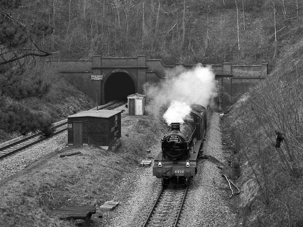
Dinmore Tunnel

Dinmore Tunnel is the name given to two railway tunnels located on the former Shrewsbury and Hereford Railway (S&HR) line between Hereford station and...

Nearby Amenities

Located within 500m of 52.14146,-2.7001609
Generator Method: photovoltaic
Generator Output Electricity: yes
Generator Source: solar
Generator Type: solar_photovoltaic_panel
Location: roof
Power: generator
Lat/Long: 52.1389093/-2.6952446
Urdimarsh
Place: hamlet
Source: NLS-OS-1st_Series
Lat/Long: 52.1374149/-2.6980163
Power: pole
Lat/Long: 52.1451891/-2.6979429
Power: pole
Lat/Long: 52.1449455/-2.6975083
Power: pole
Lat/Long: 52.1445867/-2.6969343
Power: pole
Lat/Long: 52.1443826/-2.6960385
Power: pole
Lat/Long: 52.1441324/-2.6950353
The data included in this document is from www.openstreetmap.org. The data is made available under ODbL.

Have you been to Burling Coppice?

Leave your review of Burling Coppice below (or comments, questions and feedback).