Outlane Covert
Wood, Forest in Cheshire
England
Outlane Covert
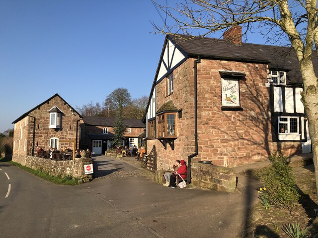
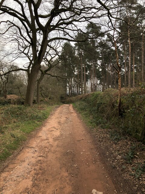
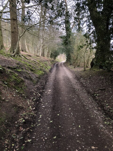
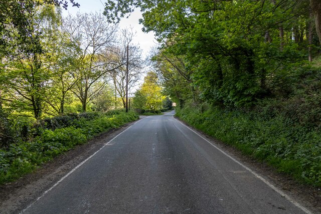
Outlane Covert is a beautiful woodland area located in the county of Cheshire, England. Covering an area of approximately 50 acres, it is nestled within the picturesque Cheshire countryside. The covert is characterized by its dense and lush woodland, making it an ideal spot for nature enthusiasts and outdoor lovers.
The woodland consists primarily of broadleaf trees such as oak, beech, and birch, creating a rich and diverse ecosystem. The canopy overhead provides a cool and pleasant atmosphere, especially during the hot summer months. A variety of plant species can be found here, including bluebells, wild garlic, and ferns, adding to the covert's natural beauty.
Outlane Covert is home to a wide range of wildlife, making it a popular destination for birdwatchers and animal enthusiasts. Bird species such as woodpeckers, owls, and various songbirds can be spotted throughout the year. Small mammals like rabbits, squirrels, and foxes are also commonly seen in the area.
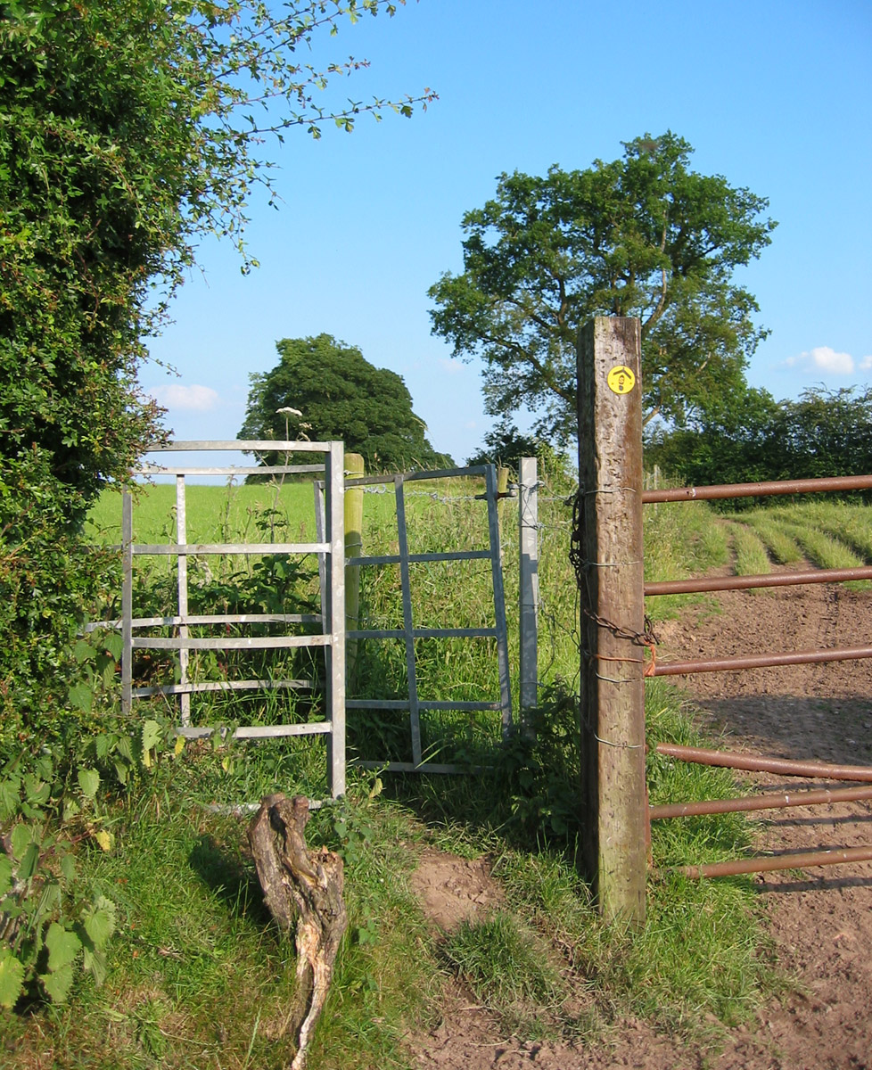
The covert offers several walking trails, allowing visitors to explore and enjoy the tranquility of the woodland. These trails are well-maintained, making them suitable for both casual strolls and more adventurous hikes. Picnic areas are available for those wishing to relax and soak up the peaceful surroundings.
Outlane Covert, Cheshire, provides a wonderful opportunity to escape the hustle and bustle of urban life and immerse oneself in the natural beauty of a woodland environment. Whether it's for a leisurely walk, birdwatching, or simply appreciating the serene atmosphere, this woodland is a true gem in the heart of Cheshire.
If you have any feedback on the listing, please let us know in the comments section below.
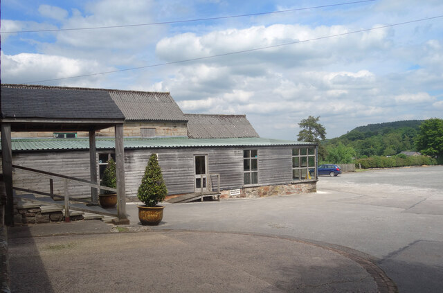
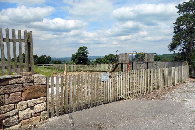
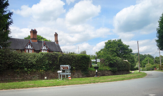
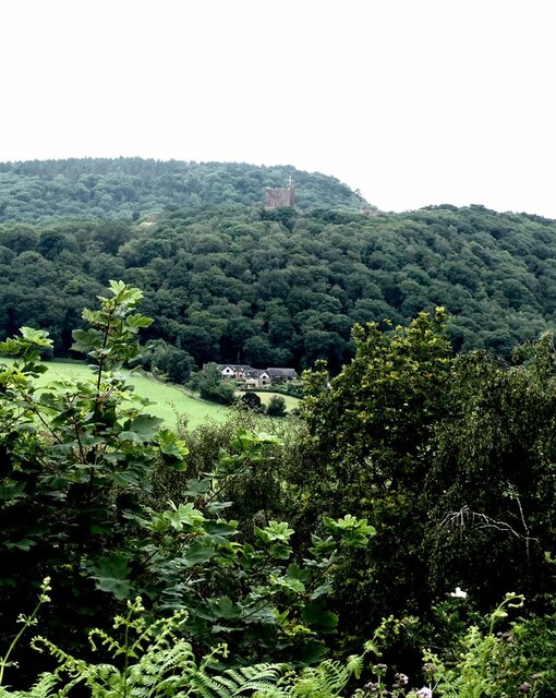
Outlane Covert Images
Images are sourced within 2km of 53.10837/-2.7167109 or Grid Reference SJ5257. Thanks to Geograph Open Source API. All images are credited.

Outlane Covert is located at Grid Ref: SJ5257 (Lat: 53.10837, Lng: -2.7167109)
Unitary Authority: Cheshire West and Chester
Police Authority: Cheshire
What 3 Words
///cabinet.bluffing.shack. Near Beeston, Cheshire
Nearby Locations
Related Wikis
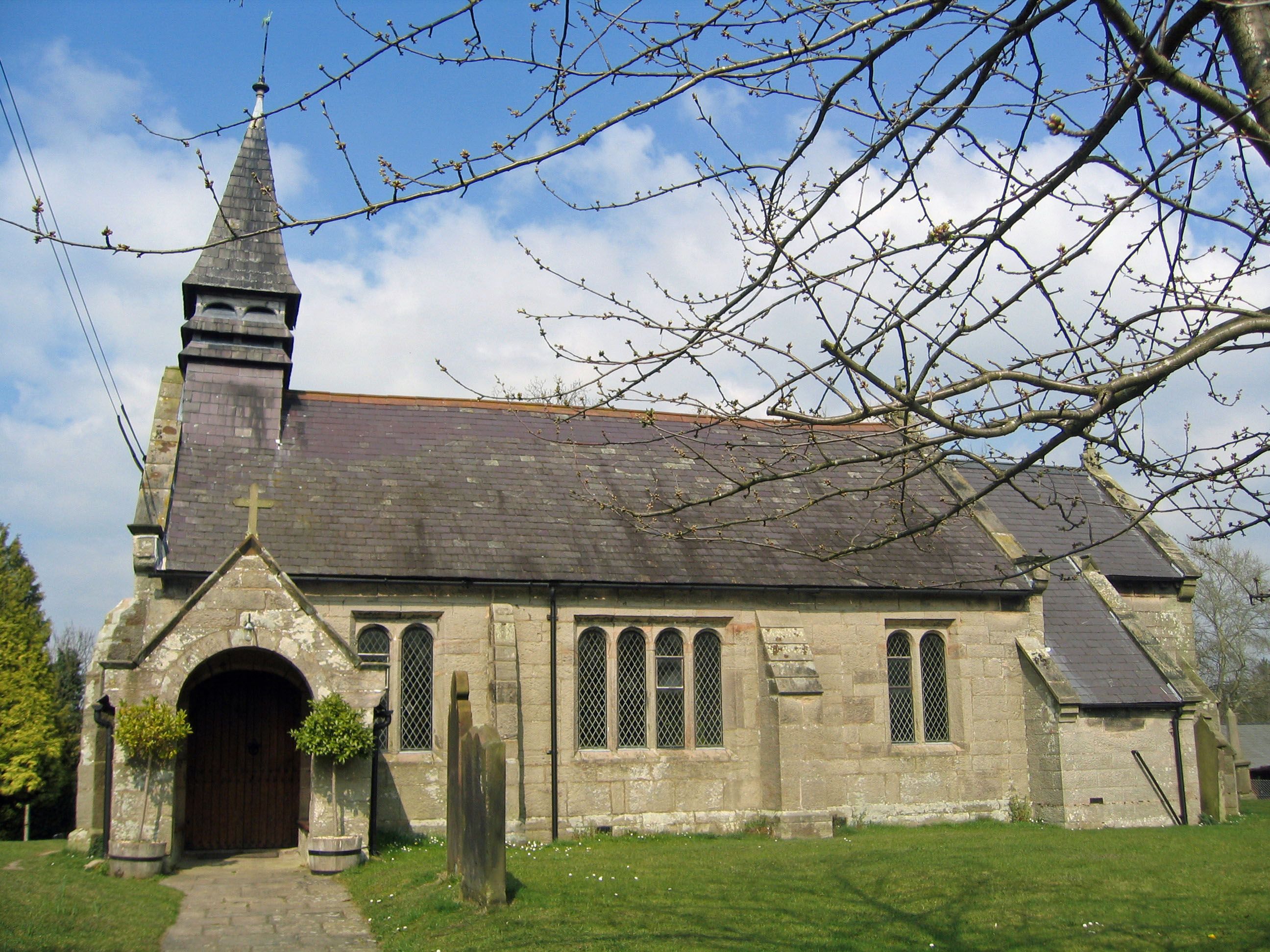
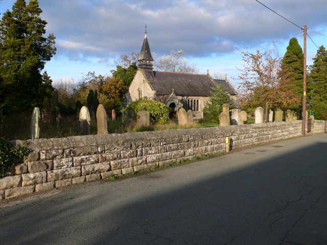
St John's Church, Burwardsley
St John's Church is in School Lane, Burwardsley, Cheshire, England. It is recorded in the National Heritage List for England as a designated Grade II listed...
Sandstone Trail
The Sandstone Trail is a 55-kilometre (34 mi) long-distance walkers' path, following sandstone ridges running north–south from Frodsham in central Cheshire...
Burwardsley
Burwardsley is a village and civil parish the unitary authority of Cheshire West and Chester and the ceremonial county of Cheshire, England. The parish...

Peckforton Hills
The Peckforton Hills are a sandstone ridge running broadly northeast–southwest in the west of the English county of Cheshire. They form a significant part...
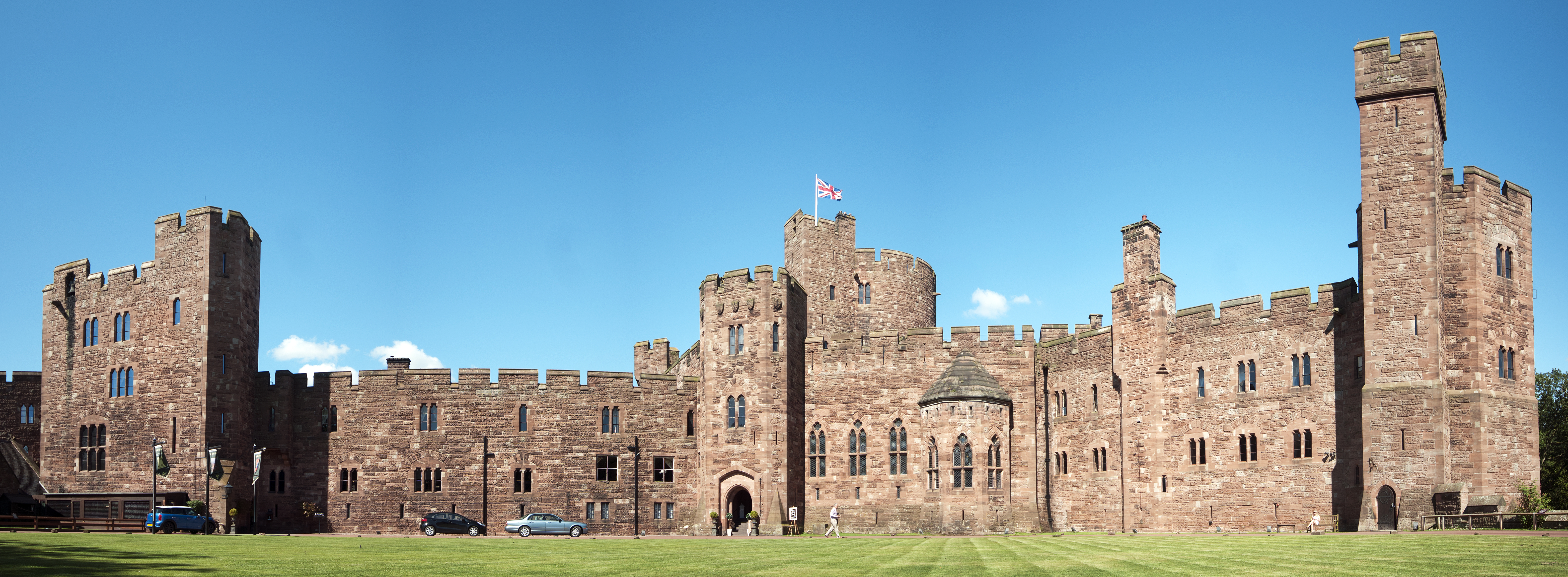
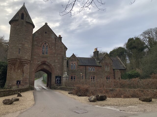
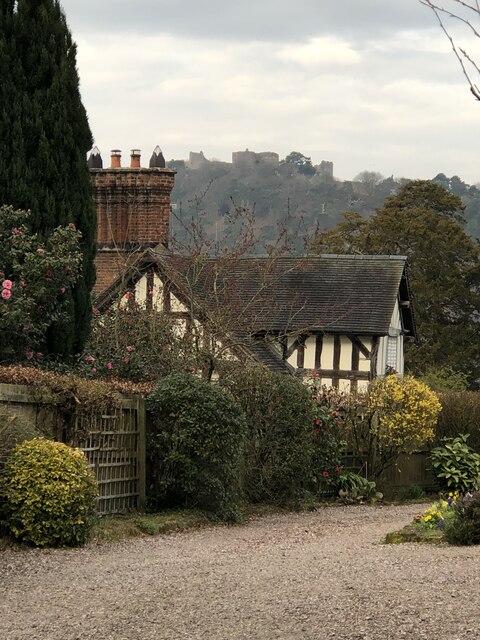
Peckforton Castle
Peckforton Castle is a Victorian country house built in the style of a medieval castle. It stands in woodland at the north end of Peckforton Hills one...
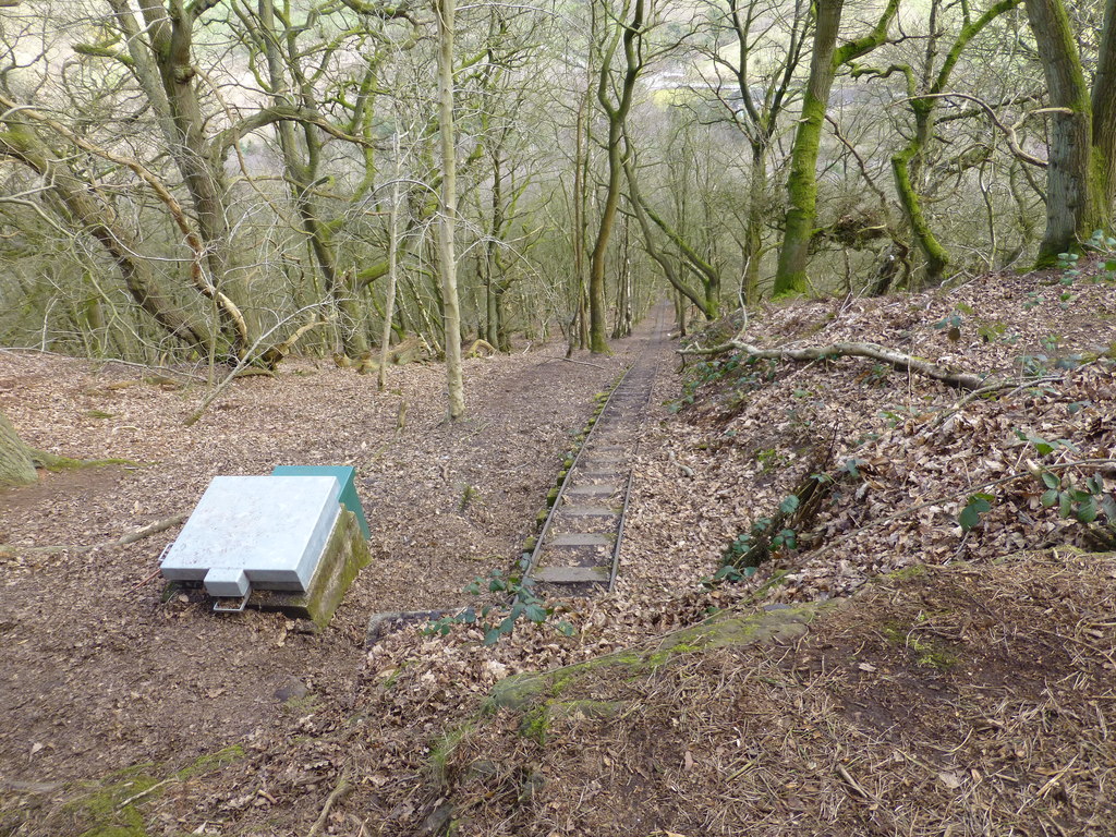
Bulkeley Hill Narrow Gauge Railway
The Bulkeley Hill Narrow Gauge Railway was a 350 yards (320 m) long 2 ft (610 mm) gauge rope-hauled incline on the Bulkeley Hill near Bulkeley in Cheshire...

Peckforton
Peckforton is a scattered settlement (centred at SJ538564) and civil parish in the unitary authority of Cheshire East and the ceremonial county of Cheshire...

Bickerton Hill
Bickerton Hill refers to two low red sandstone hills that form the southern end of the Mid Cheshire Ridge in Cheshire, north-west England. The high point...
Nearby Amenities
Located within 500m of 53.10837,-2.7167109Have you been to Outlane Covert?
Leave your review of Outlane Covert below (or comments, questions and feedback).