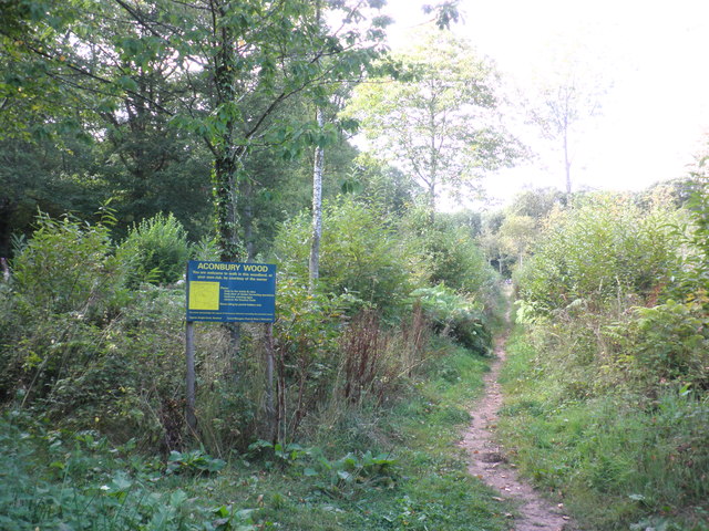
Athelstans Wood

Wood, Forest in Herefordshire

England

Athelstans Wood

Farmland near Much Birch Ripening crops seen from Hollybush Lane.
Farmland near Much Birch Credit: Stephen McKay

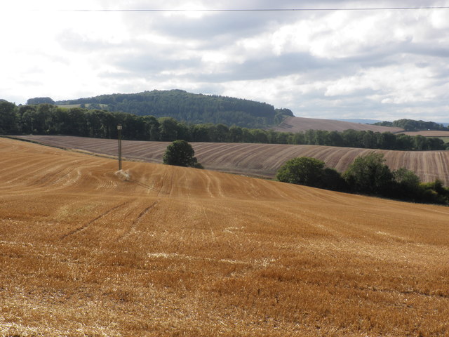
Athelstans Wood is a charming woodland located in Herefordshire, a county in the West Midlands region of England. Covering an area of approximately 50 acres, this wood is a delightful haven for nature enthusiasts and those seeking tranquility amidst the natural beauty of the English countryside.

The wood is named after King Athelstan, the first King of England, who is believed to have owned the land during his reign in the 10th century. With its rich historical significance, Athelstans Wood offers visitors a chance to immerse themselves in the past while enjoying the present.

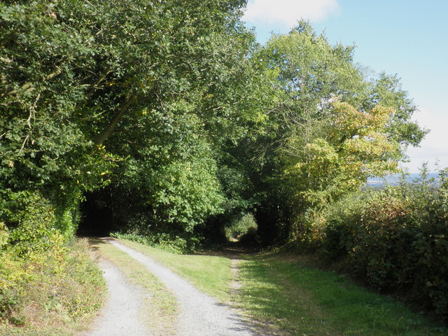
The woodland is predominantly comprised of towering oak trees, which provide a picturesque canopy that filters the sunlight and creates a dappled effect on the forest floor. Walking through the wood, visitors can explore a network of well-maintained trails that meander through the trees, offering an opportunity to appreciate the diverse flora and fauna that call this woodland home.

Wildflowers, such as bluebells and primroses, bloom in abundance during the spring, creating a vibrant tapestry of colors. The wood is also a habitat for various bird species, including woodpeckers, owls, and songbirds, making it a prime location for birdwatching enthusiasts.

Visitors to Athelstans Wood can enjoy a peaceful picnic, breathe in the crisp country air, or simply find solace in the soothing sounds of nature. The wood provides a serene escape from the hustle and bustle of everyday life, allowing visitors to reconnect with nature and unwind in a serene environment.

If you have any feedback on the listing, please let us know in the comments section below.

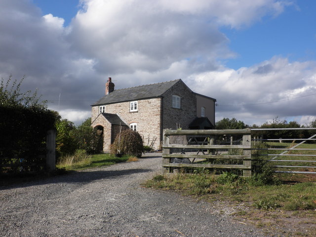
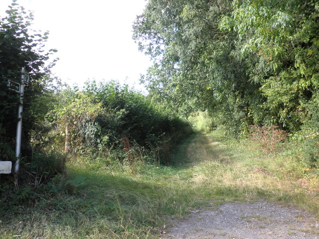
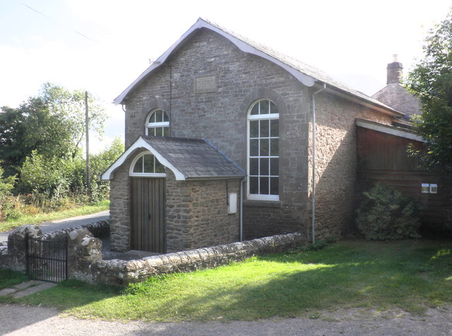
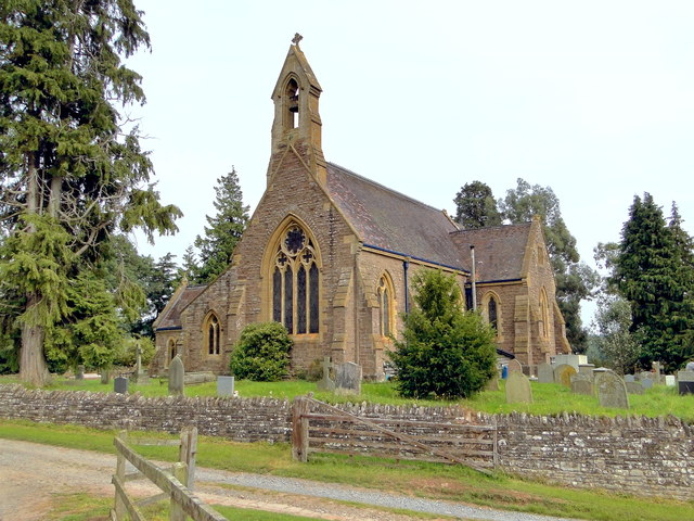
Athelstans Wood Images

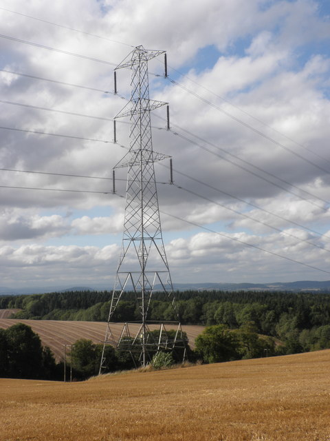
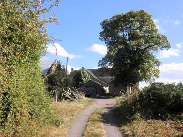
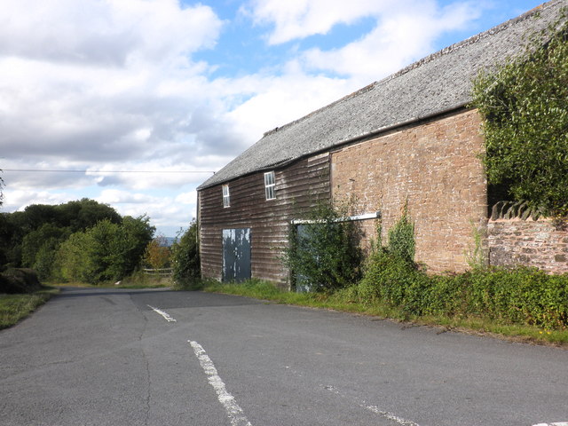
Images are sourced within 2km of 51.979634/-2.7002404 or Grid Reference SO5231. Thanks to Geograph Open Source API. All images are credited.

Farmland near Much Birch Ripening crops seen from Hollybush Lane.
Farmland near Much Birch
Ripening crops seen from Hollybush Lane.
Lane to Strickstenning Hall Narrow no through road seen from Hollybush Lane.
Lane to Strickstenning Hall
Narrow no through road seen from Hollybush Lane.
View towards Wallbrook Wood and Aconbury Hill
Electricity pylon, near Newtown
Canondale Farm
Canondale Farm
Barn at Caldicott Farm
Pies Nest
Pies Nest
Bridleway, leading north from Barrack Hill
Bridleway to Little Birch
Primitive Methodist Chapel, King's Thorn
Entrance path, Aconbury Wood
Cottage, Little Birch
Lane to Much Birch
Lane to Much Birch
St Mary, Little Birch A small, but expensive High Victorian village church, paid for by the incumbent Rev. Stephen Thackwell and designed by William Chick in 1868-9.
St Mary, Little Birch
A small, but expensive High Victorian village church, paid for by the incumbent Rev. Stephen Thackwell and designed by William Chick in 1868-9.
St Mary, Little Birch A small, but expensive High Victorian village church, paid for by the incumbent Rev. Stephen Thackwell and designed by William Chick in 1868-9. The third church on this site, says Alan Brooks in the latest Pevsner.
St Mary, Little Birch
A small, but expensive High Victorian village church, paid for by the incumbent Rev. Stephen Thackwell and designed by William Chick in 1868-9. The third church on this site, says Alan Brooks in the latest Pevsner.
St Mary, Little Birch A small, but expensive High Victorian village church, paid for by the incumbent Rev. Stephen Thackwell and designed by William Chick in 1868-9. The third church on this site, says Alan Brooks in the latest Pevsner. The East End.
St Mary, Little Birch
A small, but expensive High Victorian village church, paid for by the incumbent Rev. Stephen Thackwell and designed by William Chick in 1868-9. The third church on this site, says Alan Brooks in the latest Pevsner. The East End.
St Mary, Little Birch A small, but expensive High Victorian village church, paid for by the incumbent Rev. Stephen Thackwell and designed by William Chick in 1868-9. The third church on this site, says Alan Brooks in the latest Pevsner. The interior - almost untouched and with superb examples of Victorian craftsmanship in wood, stone and wrought iron.
St Mary, Little Birch
A small, but expensive High Victorian village church, paid for by the incumbent Rev. Stephen Thackwell and designed by William Chick in 1868-9. The third church on this site, says Alan Brooks in the latest Pevsner. The interior - almost untouched and with superb examples of Victorian craftsmanship in wood, stone and wrought iron.
Church of St Mary & St Thomas a Becket, Much Birch
Show me another place!

Athelstans Wood is located at Grid Ref: SO5231 (Lat: 51.979634, Lng: -2.7002404)

Unitary Authority: County of Herefordshire

Police Authority: West Mercia

What 3 Words

///card.verse.composes. Near Much Birch, Herefordshire

Related Wikis

Little Birch

Little Birch is a hamlet and civil parish in Herefordshire, England. It is approximately 5 miles (8 km) south from the city and county town of Hereford...
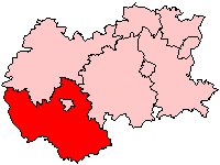
South Herefordshire

South Herefordshire was one of nine local government districts of the English county of Hereford and Worcester from 1974 to 1998. == History == South Herefordshire...

Little Dewchurch

Little Dewchurch Welsh: Llanddewi is a village in Herefordshire, England. The population of the village was 402 as taken at the 2011 census. == Etymology... ==

Much Birch

Much Birch is a village and civil parish in Herefordshire, England, between Hereford and Ross-on-Wye. The parish includes the settlements of Kings Thorn...

Nearby Amenities

Located within 500m of 51.979634,-2.7002404
Barrier: stile
Source: survey
Lat/Long: 51.9791434/-2.7049348
Barrier: stile
Source: survey
Lat/Long: 51.9806781/-2.6972468
Fixme: continues
Lat/Long: 51.9793162/-2.7034092
Barrier: stile
Source: survey
Lat/Long: 51.9784902/-2.7070999
Barrier: stile
Source: survey
Lat/Long: 51.9784282/-2.7072132
The data included in this document is from www.openstreetmap.org. The data is made available under ODbL.

Have you been to Athelstans Wood?

Leave your review of Athelstans Wood below (or comments, questions and feedback).