Barns Plantation
Wood, Forest in Cumberland Carlisle
England
Barns Plantation

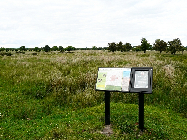
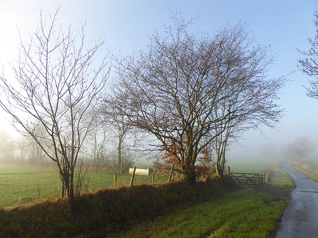
Barns Plantation is a picturesque woodland located in Cumberland, England. Situated near the town of Wood, the plantation covers a vast area, offering visitors a serene and tranquil escape from the hustle and bustle of daily life.
This beautiful forest boasts a wide variety of tree species, including oak, beech, and pine, which create a dense canopy overhead. The tall, majestic trees provide shade and shelter for an abundance of wildlife, making it a haven for nature enthusiasts and birdwatchers alike. Visitors can catch glimpses of red squirrels darting through the undergrowth or hear the soothing melodies of birdsong echoing through the trees.
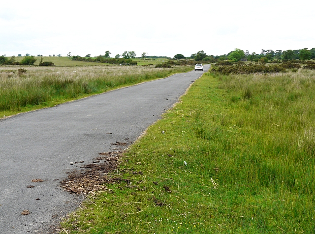
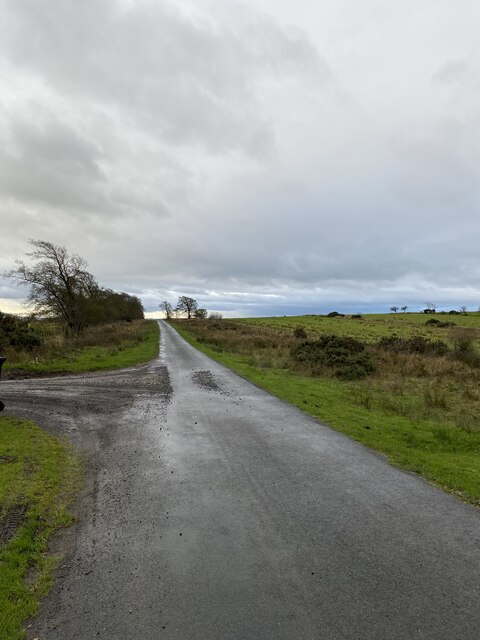
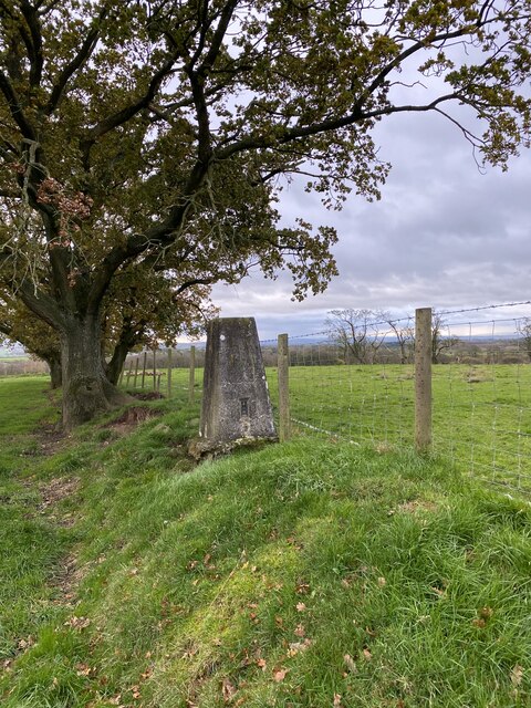
The forest is crisscrossed with a network of well-maintained walking trails, allowing visitors to explore its natural wonders at their own pace. These paths wind through the plantation, leading visitors past ponds, clearings, and meadows, each offering a unique vista and a chance to re-energize in nature.
Barns Plantation is also home to a diverse range of flora. Wildflowers bloom in abundance during the spring and summer months, painting the forest floor with vibrant colors. The plantation is particularly renowned for its bluebells, which blanket the ground in a sea of blue each April.
Whether you are seeking a peaceful stroll, a family picnic, or a chance to immerse yourself in the beauty of nature, Barns Plantation in Cumberland is a must-visit destination. With its idyllic woodland setting and thriving ecosystem, it provides a truly enchanting experience for all who venture within its borders.
If you have any feedback on the listing, please let us know in the comments section below.
Barns Plantation Images
Images are sourced within 2km of 55.00385/-2.7523967 or Grid Reference NY5167. Thanks to Geograph Open Source API. All images are credited.


Barns Plantation is located at Grid Ref: NY5167 (Lat: 55.00385, Lng: -2.7523967)
Administrative County: Cumbria
District: Carlisle
Police Authority: Cumbria
What 3 Words
///causes.chief.initiates. Near Brampton, Cumbria
Nearby Locations
Related Wikis

Askerton Castle
Askerton Castle is a medieval fortified manor house in Cumbria, England. == History == Askerton Castle was built in the parish of Askerton in Cumbria around...
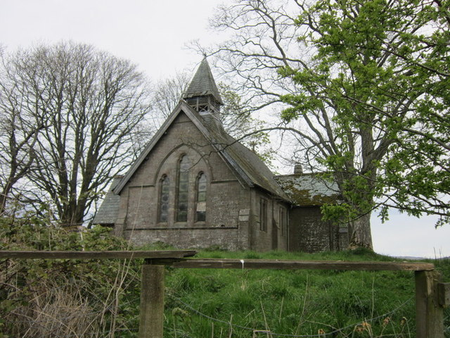
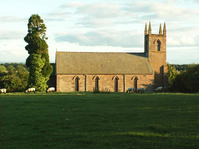
St Mary's Church, Walton
St Mary's Church is in the village of Walton, Cumbria, England. It is an active Anglican parish church in the deanery of Brampton, the archdeaconry of...

Walton, Cumbria
Walton is a village and civil parish in the far north of Cumbria, England. It is located 10 miles (16 km) from Carlisle and is about 2 miles (3 km) north...

Milecastle 56
Milecastle 56 (Walton) was a milecastle on Hadrian's Wall (grid reference NY522643). == Description == Milecastle 56 is thought to lie northeast of the...
Stapleton, Cumbria
Stapleton is a village and civil parish in the City of Carlisle district, in the county of Cumbria, in the North West of England. It falls under the jurisdiction...

Milecastle 55
Milecastle 55 (Low Wall) was a milecastle on Hadrian's Wall (grid reference NY53596437). == Description == Milecastle 55 is in a pasture field east of...

Askerton
Askerton is a civil parish in the City of Carlisle district of Cumbria, England. It has a population of 162 according to the 2001 census, decreasing to...

Hethersgill
Hethersgill is a village and a civil parish in the Carlisle district, in the county of Cumbria, England. Hethersgill has a church called St Mary's Church...
Nearby Amenities
Located within 500m of 55.00385,-2.7523967Have you been to Barns Plantation?
Leave your review of Barns Plantation below (or comments, questions and feedback).