Black Fir Wood
Wood, Forest in Lancashire Preston
England
Black Fir Wood

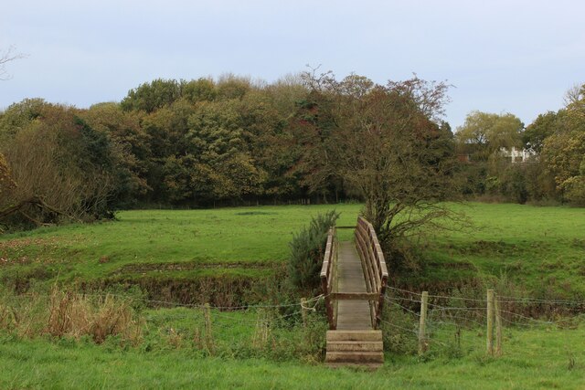
Black Fir Wood is a picturesque forest located in the county of Lancashire, England. Spanning an area of approximately 100 acres, this woodland is renowned for its dense population of black fir trees, hence its name. The wood is nestled in a serene and tranquil setting, providing a perfect retreat for nature lovers and outdoor enthusiasts.
The black fir trees dominate the landscape of the wood, creating a stunning canopy that offers shade and shelter. These majestic evergreen trees are characterized by their dark green foliage and straight trunks, reaching impressive heights of up to 30 meters. The forest floor is covered with a thick layer of fallen leaves and moss, providing a soft carpet underfoot.
Black Fir Wood is home to a diverse range of flora and fauna. The forest floor is adorned with beautiful wildflowers, including bluebells, primroses, and violets, which bloom in vibrant hues during the spring and summer months. The wood also provides a habitat for various species of birds, such as woodpeckers, owls, and robins, filling the air with their melodic songs.
Visitors to Black Fir Wood can enjoy a multitude of activities. The well-maintained trails and pathways allow for leisurely walks and hikes, providing an opportunity to explore the natural beauty of the forest. Picnic areas are scattered throughout the wood, inviting families and friends to relax and enjoy a meal amidst the serene surroundings.
Overall, Black Fir Wood is a stunning forest that offers a peaceful escape from the hustle and bustle of everyday life. Its lush greenery, towering black fir trees, and abundant wildlife make it a haven for nature enthusiasts and a must-visit destination for those seeking tranquility in Lancashire.
If you have any feedback on the listing, please let us know in the comments section below.
Black Fir Wood Images
Images are sourced within 2km of 53.821243/-2.7315891 or Grid Reference SD5136. Thanks to Geograph Open Source API. All images are credited.


Black Fir Wood is located at Grid Ref: SD5136 (Lat: 53.821243, Lng: -2.7315891)
Administrative County: Lancashire
District: Preston
Police Authority: Lancashire
What 3 Words
///kicked.times.heat. Near Goosnargh, Lancashire
Nearby Locations
Related Wikis
RAF Barton Hall
Royal Air Force Barton Hall or more simply RAF Barton Hall is a former Royal Air Force station situated between the villages of Barton and Broughton, near...
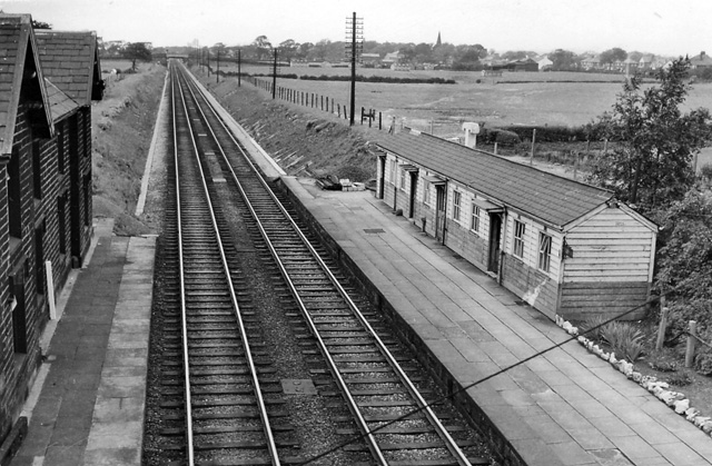
Barton and Broughton railway station
Barton and Broughton railway station served the villages of Barton and Broughton in Lancashire, England, from 1840 to 1965 on the Lancaster and Preston...
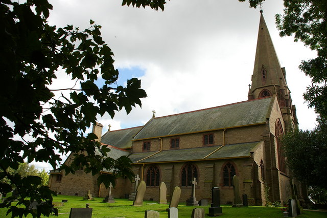
St Lawrence's Church, Barton
St Lawrence's Church is in Garstang Road, Barton, Preston, Lancashire, England. It is an active Anglican parish church in the diocese of Blackburn....
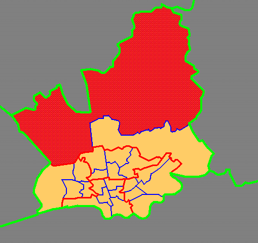
Preston Rural North
Preston Rural North is an electoral ward in the City of Preston, Lancashire, England. The ward is the largest by area in the city, containing the smaller...
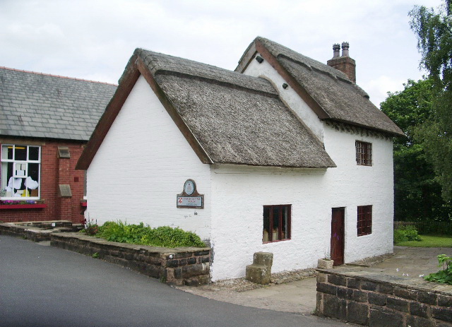
Barton, Preston
Barton is a linear village and civil parish in the City of Preston, Lancashire, England. The parish had a population of 1,150, of whom 552 were male and...

Broughton railway station (England)
Broughton railway station served the village of Broughton, Lancashire, England, from June to November 1840 on the Lancaster and Preston Junction Railway...
Broughton, Lancashire
Broughton is a village and civil parish in the City of Preston, Lancashire, England, approximately 4 miles (6 km) north of Preston city centre. According...
Broughton High School, Lancashire
Broughton High School is a coeducational secondary school located in Broughton in the English county of Lancashire.Established in 1975, it is a community...
Nearby Amenities
Located within 500m of 53.821243,-2.7315891Have you been to Black Fir Wood?
Leave your review of Black Fir Wood below (or comments, questions and feedback).