Ashen Grove
Wood, Forest in Herefordshire
England
Ashen Grove
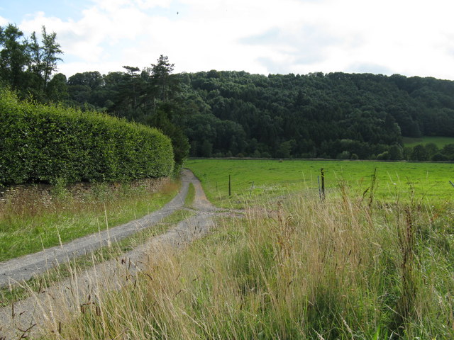
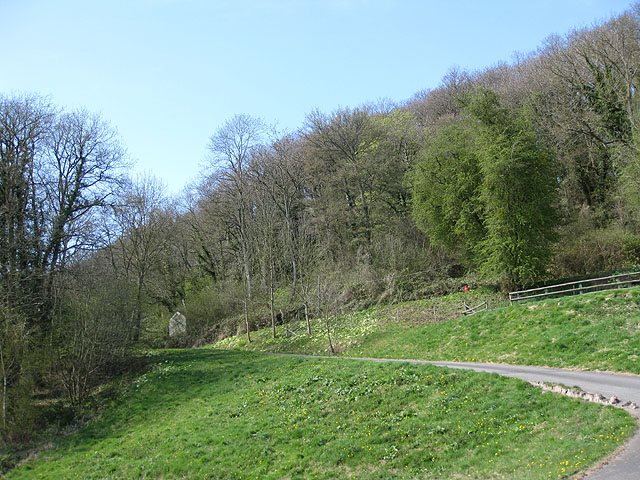
Ashen Grove is a picturesque woodland located in the county of Herefordshire, England. Situated in the heart of the county, it covers an area of approximately 100 acres, making it one of the larger forests in the region. The woodland is nestled within the undulating landscape of the Herefordshire countryside and is renowned for its natural beauty.
Ashen Grove is predominantly made up of deciduous trees, with a diverse range of species including oak, beech, and ash. These magnificent trees provide a dense canopy, creating a cool and tranquil atmosphere within the forest. The forest floor is carpeted with a variety of flora, including bluebells, wild garlic, and ferns, which add to the enchanting ambiance of the woodland.
The forest is home to a rich array of wildlife, making it a popular destination for nature enthusiasts. Visitors may spot an abundance of bird species, such as woodpeckers and owls, as well as mammals like deer and foxes. The diverse ecosystem of Ashen Grove also supports a variety of insects, reptiles, and amphibians.
For those seeking outdoor activities, Ashen Grove offers numerous walking trails and paths, allowing visitors to explore the forest at their own pace. The peaceful atmosphere and scenic views make it an ideal location for hiking, photography, or simply enjoying a picnic amidst nature.
Overall, Ashen Grove is a captivating woodland that showcases the natural beauty of Herefordshire. With its lush vegetation, diverse wildlife, and recreational opportunities, it offers a serene escape for individuals seeking solace in the great outdoors.
If you have any feedback on the listing, please let us know in the comments section below.
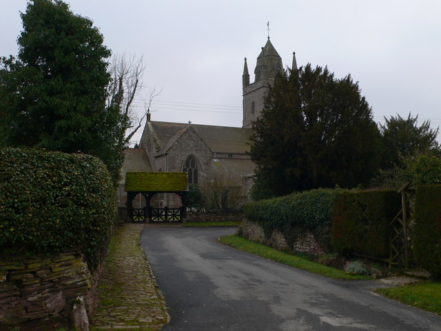
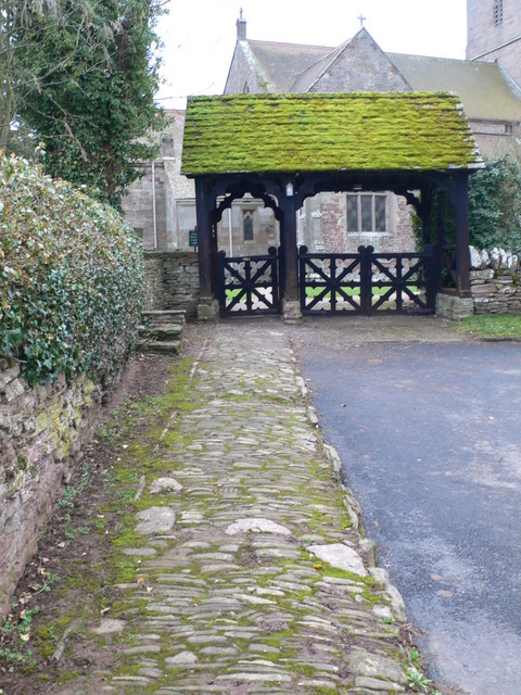
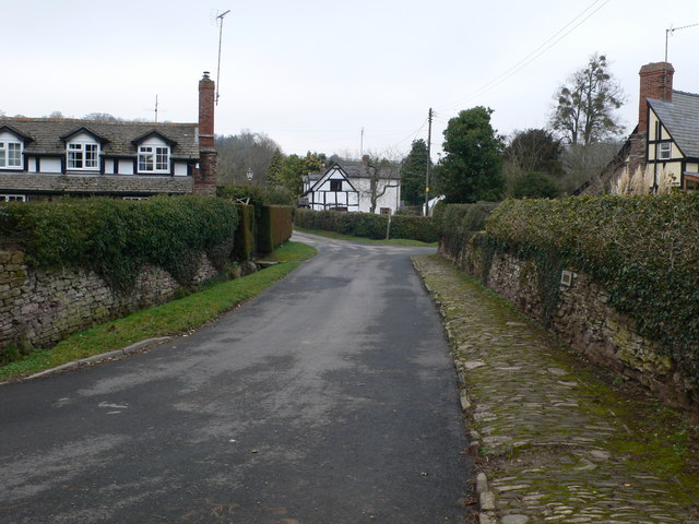
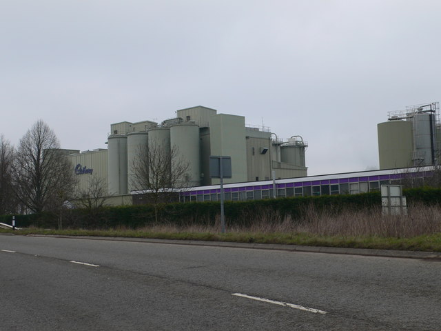
Ashen Grove Images
Images are sourced within 2km of 52.165167/-2.7078432 or Grid Reference SO5152. Thanks to Geograph Open Source API. All images are credited.


Ashen Grove is located at Grid Ref: SO5152 (Lat: 52.165167, Lng: -2.7078432)
Unitary Authority: County of Herefordshire
Police Authority: West Mercia
What 3 Words
///happier.balconies.proofread. Near Hope under Dinmore, Herefordshire
Nearby Locations
Related Wikis

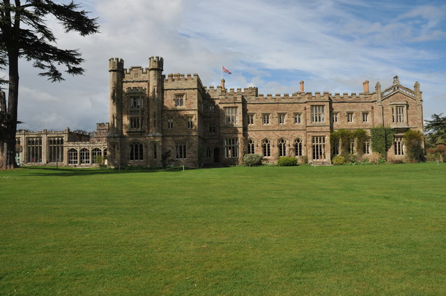
Hampton Court Castle
Hampton Court Castle, also known as Hampton Court, is a castellated country house in the English county of Herefordshire. The house is in the parish of...
Dinmore Hill
Dinmore Hill rises steeply above the River Lugg in Herefordshire, England and is effectively the prominent eastern ridge of an area of high ground which...

Hope under Dinmore
Hope under Dinmore is a village and civil parish in Herefordshire, England. The village is on the A49 road, 4 miles (6 km) south of Leominster and 9 miles...
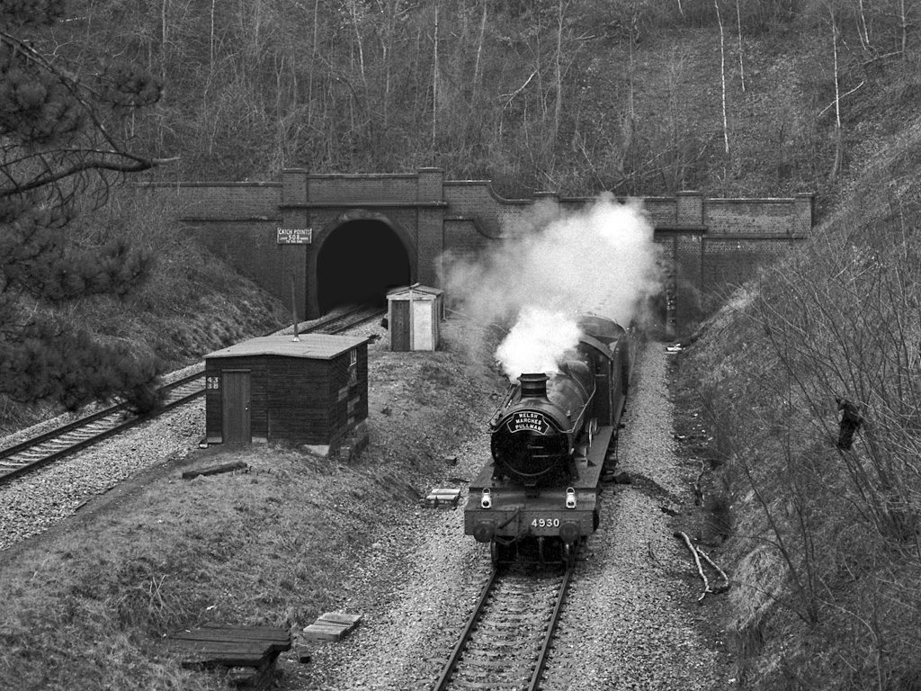
Dinmore Tunnel
Dinmore Tunnel is the name given to two railway tunnels located on the former Shrewsbury and Hereford Railway (S&HR) line between Hereford station and...
Nearby Amenities
Located within 500m of 52.165167,-2.7078432Have you been to Ashen Grove?
Leave your review of Ashen Grove below (or comments, questions and feedback).