Colwall
Settlement in Herefordshire
England
Colwall
Colwall is a charming village located in the county of Herefordshire, England. Situated at the foot of the Malvern Hills, it offers breathtaking natural beauty, making it a popular destination for outdoor enthusiasts and nature lovers. With a population of around 2,000 residents, Colwall maintains a tight-knit community atmosphere.
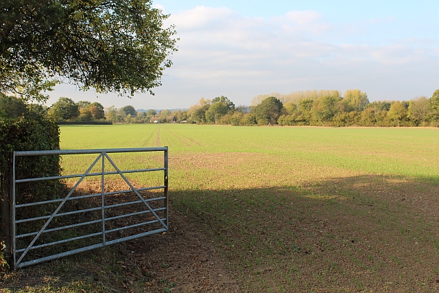
The village is well-known for its picturesque views, with rolling hills and expansive meadows surrounding the area. The Malvern Hills, a designated Area of Outstanding Natural Beauty, provide numerous walking trails and viewpoints for visitors to explore. The Worcestershire Beacon, the highest point of the hills, offers panoramic vistas of the surrounding countryside.
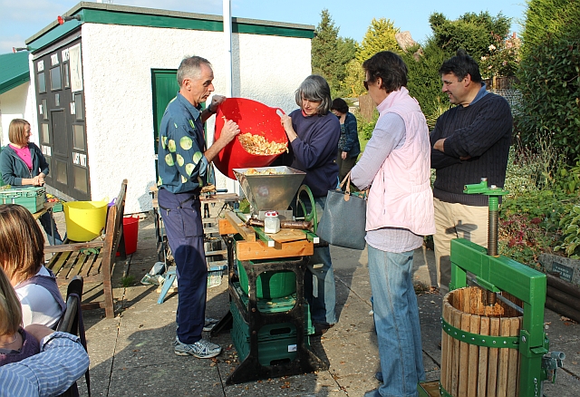
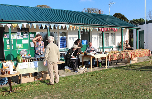
Colwall itself boasts a range of amenities and facilities, including a local primary school, several churches, and a variety of shops, cafes, and pubs. The village also hosts an annual arts festival, showcasing local talent in various artistic disciplines.
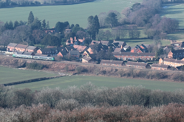
Transportation in Colwall is convenient, with regular train services connecting the village to larger nearby towns and cities. The area is also well-connected by road, with the A449 and A4103 providing easy access to Worcester, Hereford, and beyond.
Colwall is steeped in history, with evidence of human settlement dating back to the Bronze Age. The village features several historic buildings, such as St. James Church, which dates back to the 12th century. Colwall Park, a Grade II listed building, is a notable architectural landmark in the area.
Overall, Colwall is a picturesque village that offers a peaceful and idyllic setting for residents and visitors alike. Its stunning natural surroundings, community spirit, and historical charm make it a truly special place in Herefordshire.
If you have any feedback on the listing, please let us know in the comments section below.
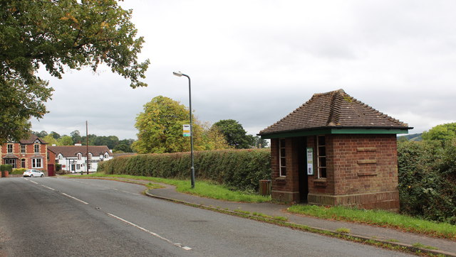
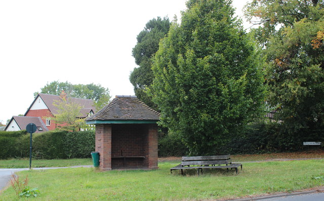
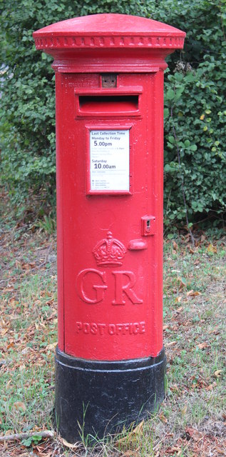
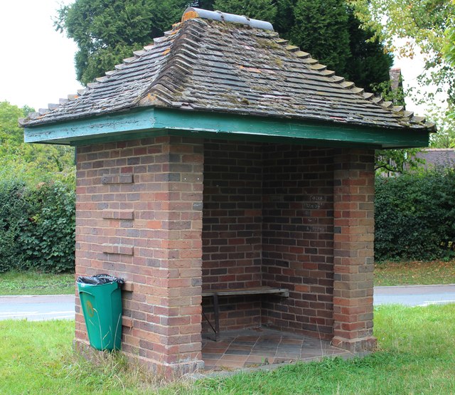
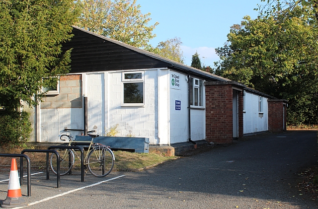
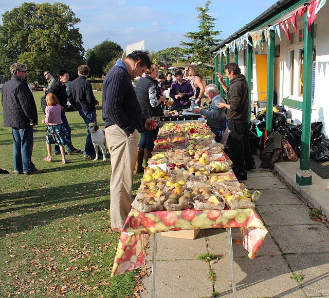
Colwall Images
Images are sourced within 2km of 52.07818/-2.3815234 or Grid Reference SO7342. Thanks to Geograph Open Source API. All images are credited.


Colwall is located at Grid Ref: SO7342 (Lat: 52.07818, Lng: -2.3815234)
Unitary Authority: County of Herefordshire
Police Authority: West Mercia
What 3 Words
///fewer.romance.barbarian. Near Great Malvern, Worcestershire
Nearby Locations
Related Wikis
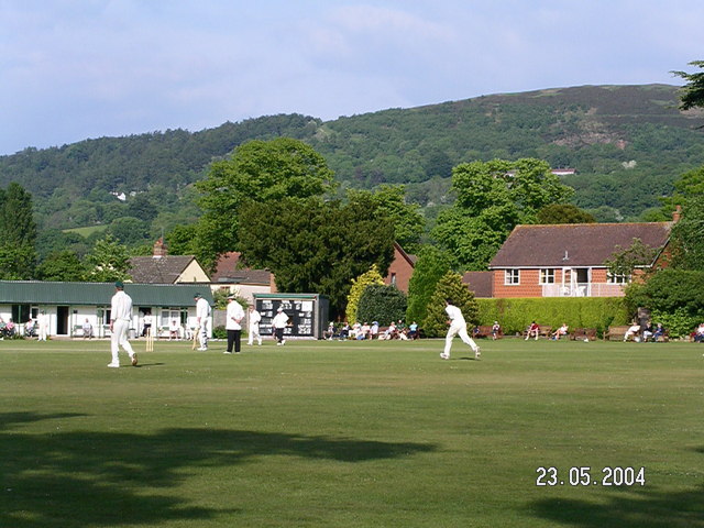
Stowe Lane
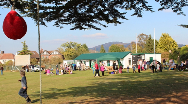
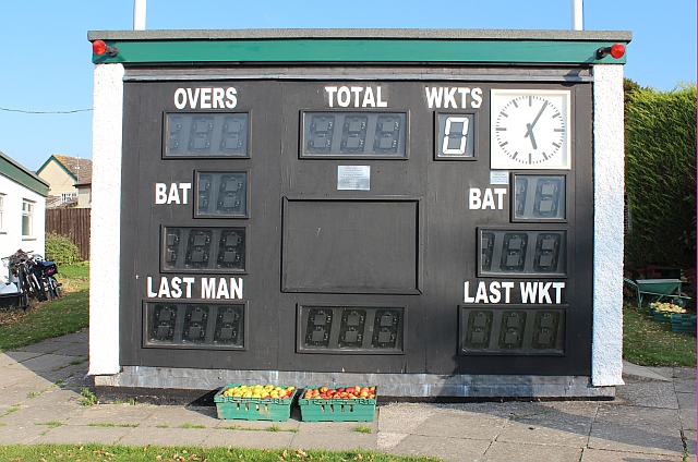
Stowe Lane is a cricket ground in Colwall, Herefordshire. The first recorded county match on the ground was in 1974, when the Worcestershire Second XI...

The Elms School, Colwall
The Elms School is a co-educational private boarding prep school located in Colwall, Herefordshire, England. Including the Early Years and Pre-Prep departments...

Colwall Park Racecourse
Colwall Park Racecourse was a British horse racing venue which operated from 1900 to 1939. It was known as one of England’s prettiest racecourses.The course...

Colwall
Colwall is a civil parish in Herefordshire, England, situated on the border with Worcestershire, nestling on the western side of the Malvern Hills at the...

Colwall railway station
Colwall railway station is a railway station on the Cotswold Line serving the village of Colwall in Herefordshire, England. The station has one platform...

Hope End
Hope End is an area and former estate of Herefordshire, England, near the Malvern Hills, noted for its literary associations. As described by a 19th-century...

Coddington, Herefordshire
Coddington is a hamlet and civil parish in eastern Herefordshire, England, about 3 miles (4.8 km) north of Ledbury. The west side of the parish covers...
The Downs Malvern
The Downs Malvern is a private prep school in the United Kingdom, founded in 1900. It is located on a 55-acre (22 ha) site in Colwall in the County of...
Nearby Amenities
Located within 500m of 52.07818,-2.3815234Have you been to Colwall?
Leave your review of Colwall below (or comments, questions and feedback).