Columbjohn

Settlement in Devon East Devon

England

Columbjohn

Killerton : Footpath A footpath around the grounds of Killerton lit up for Christmas.
Killerton : Footpath Credit: Lewis Clarke

Columbjohn is a small picturesque village located in the county of Devon, England. Situated in the rural heartland of the county, it is known for its idyllic countryside and charming old-world appeal. The village is nestled amidst rolling green hills and is surrounded by lush farmland, offering stunning views of the Devonshire landscape.

Historically, Columbjohn has been associated with agriculture, with farming being the primary occupation of its residents. The village is dotted with traditional thatched-roof cottages and quaint farmhouses, adding to its rustic charm. The local community takes great pride in preserving the village's heritage and maintaining its rural character.

One of the notable landmarks in Columbjohn is the St. Columba's Church, a medieval church dating back to the 13th century. This ancient place of worship attracts visitors who are fascinated by its architecture and historical significance.

Despite its small size, Columbjohn offers a peaceful and serene atmosphere, making it an ideal destination for those seeking a break from the hustle and bustle of city life. The village provides ample opportunities for outdoor activities such as walking, hiking, and cycling, with its tranquil lanes and scenic trails.

Being located in Devon, Columbjohn is well-positioned for exploring the wider region. The village is within easy reach of other popular destinations such as Exeter, Dartmoor National Park, and the stunning Devon coastline.

In conclusion, Columbjohn is a charming village in Devon, known for its rural beauty, historic church, and tranquil surroundings. It offers a glimpse into traditional English countryside life and is a haven for nature lovers and those seeking a peaceful retreat.

If you have any feedback on the listing, please let us know in the comments section below.
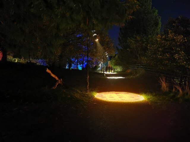
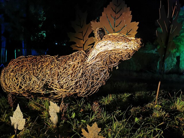
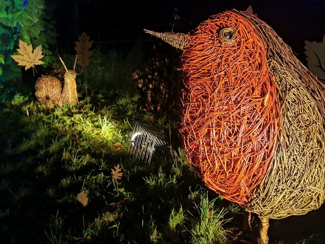
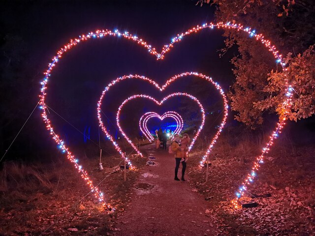
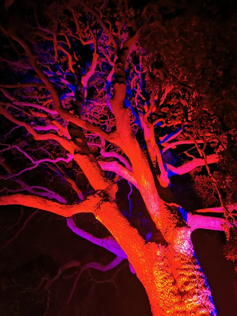
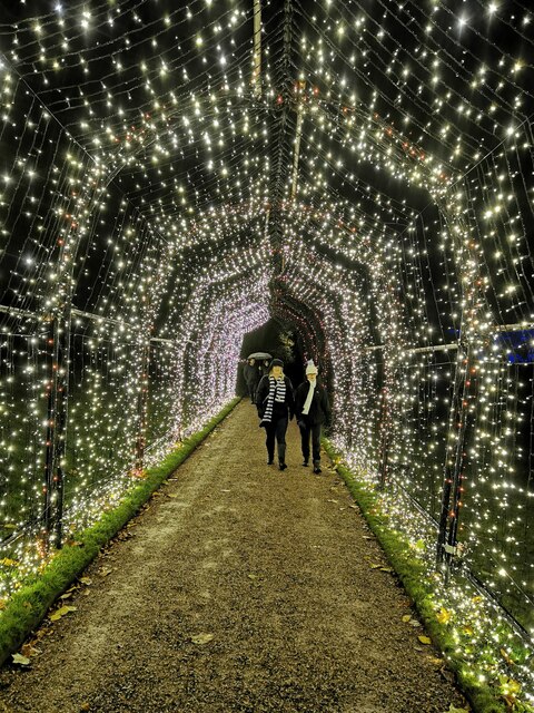
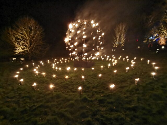
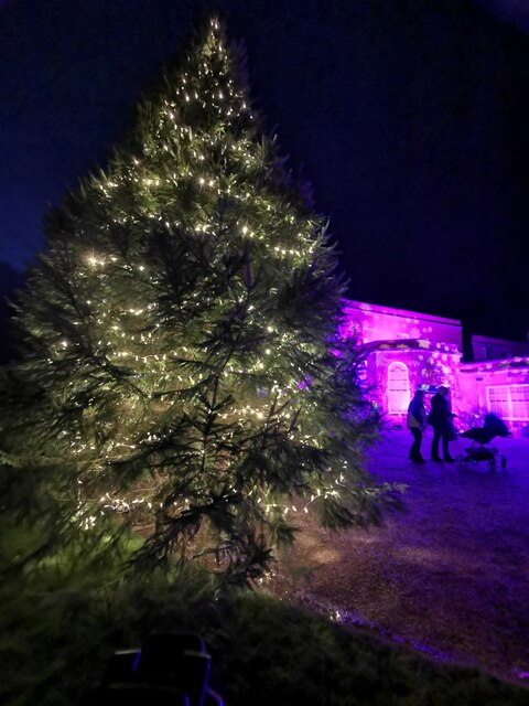
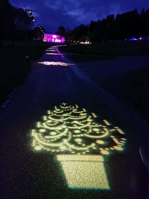
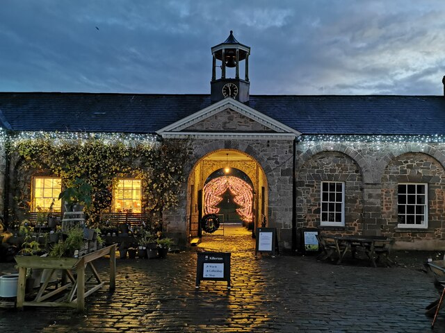
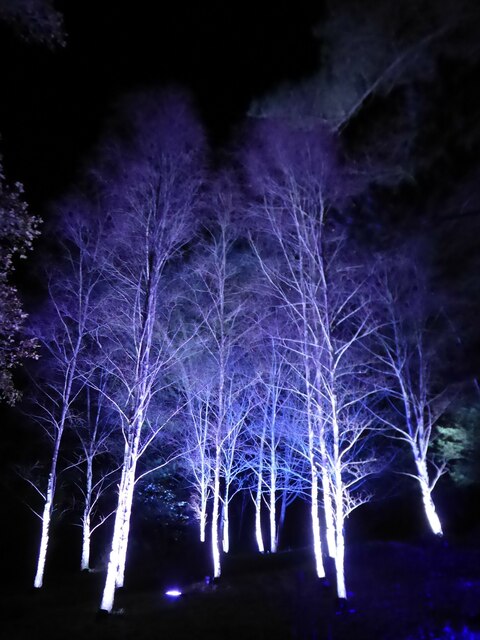
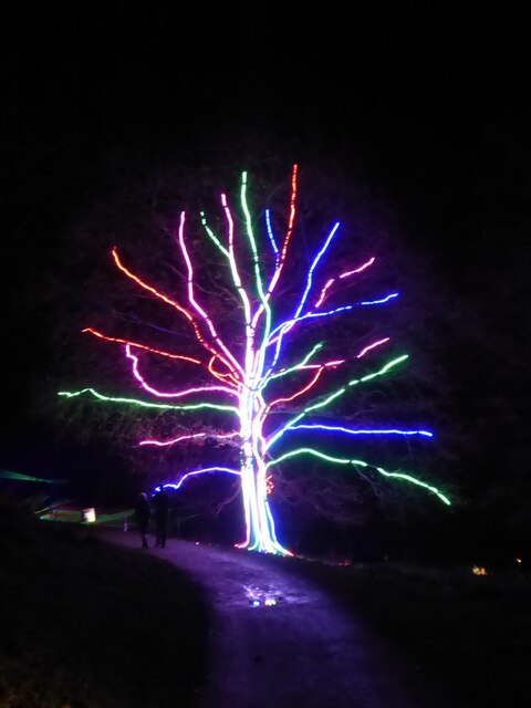
Columbjohn Images

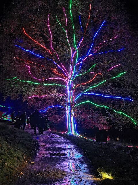
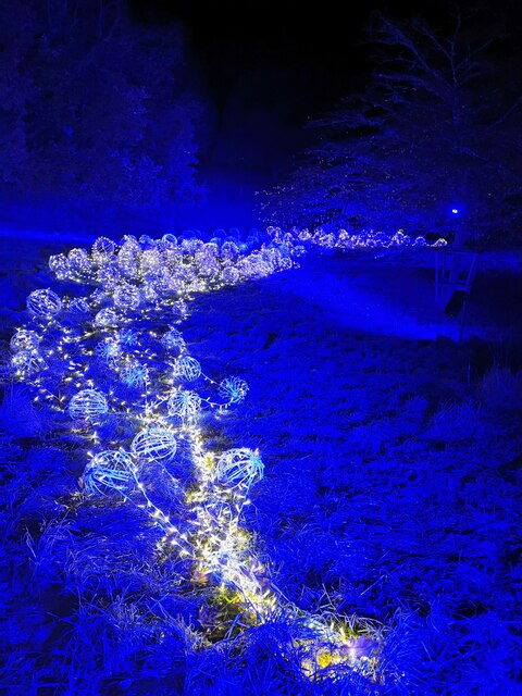
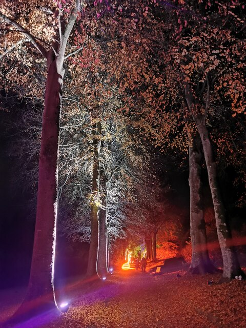
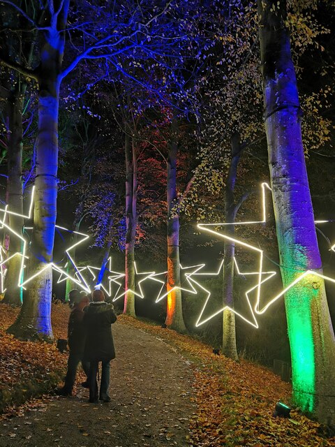
Images are sourced within 2km of 50.786992/-3.477495 or Grid Reference SX9599. Thanks to Geograph Open Source API. All images are credited.

Killerton : Footpath A footpath around the grounds of Killerton lit up for Christmas.
Killerton : Footpath
A footpath around the grounds of Killerton lit up for Christmas.
Killerton : Willow Badger A willow badger illuminated in the grounds of Killerton.
Killerton : Willow Badger
A willow badger illuminated in the grounds of Killerton.
Killerton : Willow Sculptures A willow robin and snail in the grounds of Killerton.
Killerton : Willow Sculptures
A willow robin and snail in the grounds of Killerton.
Killerton : Footpath Love hearts light up the path.
Killerton : Footpath
Love hearts light up the path.
Killerton : Footpath A footpath heads towards the lit up tree.
Killerton : Footpath
A footpath heads towards the lit up tree.
Killerton : Lights Lights illuminate the hillside.
Killerton : Lights
Lights illuminate the hillside.
Killerton : Footpath The footpath is lit up.
Killerton : Footpath
The footpath is lit up.
Killerton : Footpath Looking along a star studded footpath.
Killerton : Footpath
Looking along a star studded footpath.
Killerton : Tree A light up tree.
Killerton : Tree
A light up tree.
Killerton : Footpath People walking through an illuminated tunnel.
Killerton : Footpath
People walking through an illuminated tunnel.
Killerton : Fire Display A fire display in the grounds of Killerton.
Killerton : Fire Display
A fire display in the grounds of Killerton.
Killerton : Fire Display A fire display in Killerton.
Killerton : Fire Display
A fire display in Killerton.
Killerton : Christmas Tree The Christmas tree is up outside the house.
Killerton : Christmas Tree
The Christmas tree is up outside the house.
Killerton : Killerton House The house is lit up purple for Christmas.
Killerton : Killerton House
The house is lit up purple for Christmas.
Killerton : Footpath A footpath heads up to Killerton House. A light shows a Christmas tree.
Killerton : Footpath
A footpath heads up to Killerton House. A light shows a Christmas tree.
Killerton : The Lodge The Lodge in Killerton, and entrance to the gardens.
Killerton : The Lodge
The Lodge in Killerton, and entrance to the gardens.
Illuminated birch trees at 'Christmas at Killerton' Each Christmas there is an illuminated trail around the grounds.
Illuminated birch trees at 'Christmas at Killerton'
Each Christmas there is an illuminated trail around the grounds.
Illuminated tree at 'Christmas at Killerton' Each Christmas there is an illuminated trail around the grounds.
Illuminated tree at 'Christmas at Killerton'
Each Christmas there is an illuminated trail around the grounds.
Show me another place!

Columbjohn is located at Grid Ref: SX9599 (Lat: 50.786992, Lng: -3.477495)

Administrative County: Devon

District: East Devon

Police Authority: Devon and Cornwall

What 3 Words

///imagined.tunnel.rotations. Near Silverton, Devon

Nearby Locations

Columbjohn

Related Wikis

Dolbury

Dolbury is another local name for the Iron Age hill fort or enclosure at Killerton Park in Devon, England. It is referred to as such in several books and...

Rewe, Devon

Rewe is a village and civil parish in the county of Devon in England. It lies on the river Culm, 5 miles (8 km) north of the city of Exeter and 9 miles...

Killerton

Killerton is an 18th-century house in Broadclyst, Exeter, Devon, England, which, with its hillside garden and estate, has been owned by the National Trust...

Huxham

Huxham is a hamlet and civil parish in the county of Devon, England and the district of East Devon and lies about 3 miles from Exeter. The parish has an...

Nearby Amenities

Located within 500m of 50.786992,-3.477495
Columbjohn Cross
Junction: yes
Lat/Long: 50.7870486/-3.4793935
Columbjohn
Place: hamlet
Tourism: attraction
Wikidata: Q23682894
Wikipedia: en:Columbjohn
Lat/Long: 50.7871782/-3.4792134
Barrier: kissing_gate
Lat/Long: 50.7878868/-3.4787264
Information: guidepost
Tourism: information
Lat/Long: 50.7893031/-3.4773807
Information: guidepost
Tourism: information
Lat/Long: 50.7878287/-3.4756145
Information: guidepost
Tourism: information
Lat/Long: 50.7907641/-3.4754729
Brand: National Grid
Brand Wikidata: Q1465461
Material: wood
Operator: National Grid Electricity Distribution Plc
Operator Old: Western Power Distribution
Operator Wikidata: Q7988183
Owner: National Grid Electricity Distribution (South West) Plc
Owner Wikidata: Q114397866
Power: pole
Lat/Long: 50.790503/-3.4748374
Brand: National Grid
Brand Wikidata: Q1465461
Material: wood
Operator: National Grid Electricity Distribution Plc
Operator Old: Western Power Distribution
Operator Wikidata: Q7988183
Owner: National Grid Electricity Distribution (South West) Plc
Owner Wikidata: Q114397866
Power: pole
Lat/Long: 50.7896417/-3.4746075
Brand: National Grid
Brand Wikidata: Q1465461
Material: wood
Operator: National Grid Electricity Distribution Plc
Operator Old: Western Power Distribution
Operator Wikidata: Q7988183
Owner: National Grid Electricity Distribution (South West) Plc
Owner Wikidata: Q114397866
Power: pole
Lat/Long: 50.7887617/-3.4743711
Brand: National Grid
Brand Wikidata: Q1465461
Material: wood
Operator: National Grid Electricity Distribution Plc
Operator Old: Western Power Distribution
Operator Wikidata: Q7988183
Owner: National Grid Electricity Distribution (South West) Plc
Owner Wikidata: Q114397866
Power: pole
Lat/Long: 50.7868331/-3.4738824
Brand: National Grid
Brand Wikidata: Q1465461
Material: wood
Operator: National Grid Electricity Distribution Plc
Operator Old: Western Power Distribution
Operator Wikidata: Q7988183
Owner: National Grid Electricity Distribution (South West) Plc
Owner Wikidata: Q114397866
Power: pole
Lat/Long: 50.785875/-3.4736405
Brand: National Grid
Brand Wikidata: Q1465461
Material: wood
Operator: National Grid Electricity Distribution Plc
Operator Old: Western Power Distribution
Operator Wikidata: Q7988183
Owner: National Grid Electricity Distribution (South West) Plc
Owner Wikidata: Q114397866
Power: pole
Lat/Long: 50.7841648/-3.4732012
The data included in this document is from www.openstreetmap.org. The data is made available under ODbL.

Have you been to Columbjohn?

Leave your review of Columbjohn below (or comments, questions and feedback).