England's Brake
Wood, Forest in Somerset Mendip
England
England's Brake
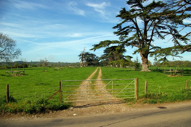
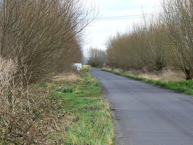
Brake, Somerset, also known as England's Brake, is a picturesque woodland located in the county of Somerset, England. Spanning over acres of land, this forested area is renowned for its natural beauty and diverse ecosystem.
The woodlands of Brake, Somerset are characterized by their dense canopy of towering trees, including oak, ash, beech, and birch. This variety of tree species provides an ideal habitat for a multitude of wildlife, making it a popular spot for nature enthusiasts and birdwatchers. Visitors can expect to spot various species of birds, such as woodpeckers, owls, and songbirds, as well as small mammals like squirrels and rabbits.
Tranquil walking trails meander through the forest, allowing visitors to immerse themselves in the serene surroundings. These paths are well-maintained, making them suitable for leisurely strolls or more challenging hikes. Along the way, hikers may encounter babbling brooks, wildflowers, and even ancient ruins, adding an element of intrigue to their journey.
England's Brake, Somerset is also a designated conservation area, highlighting its ecological significance. Efforts are made to preserve the natural habitat and protect the species that inhabit it. As a result, visitors are encouraged to respect the environment and adhere to any guidelines or restrictions in place.
Overall, Brake, Somerset is a haven for those seeking solace in nature. Its lush woodlands, diverse wildlife, and peaceful atmosphere make it a must-visit destination for both locals and tourists alike.
If you have any feedback on the listing, please let us know in the comments section below.
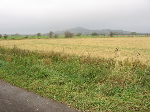
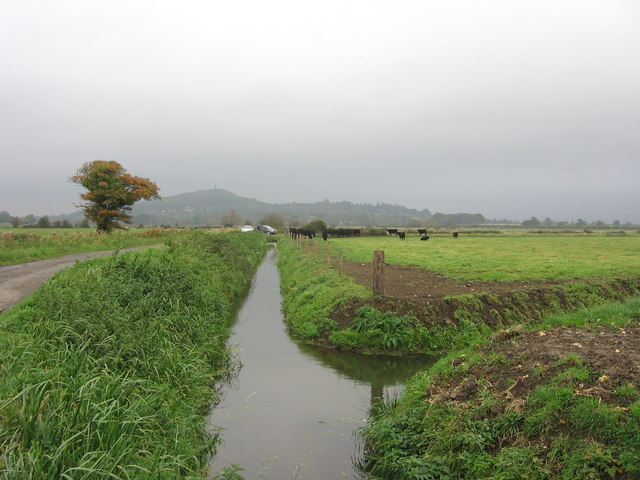
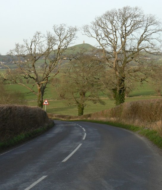
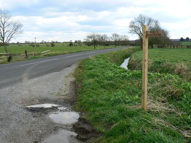
England's Brake Images
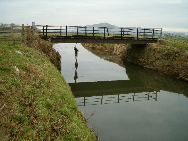
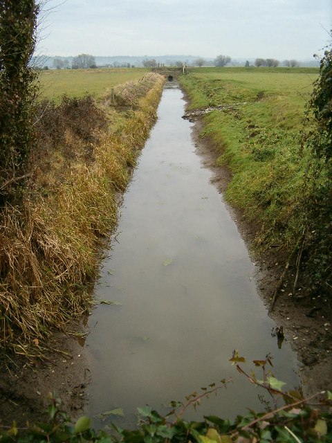
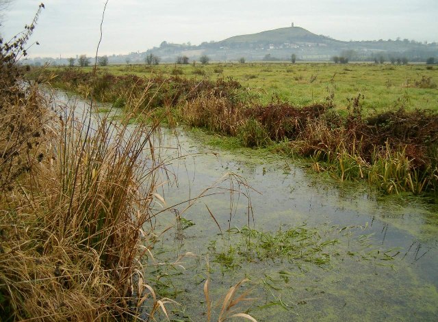
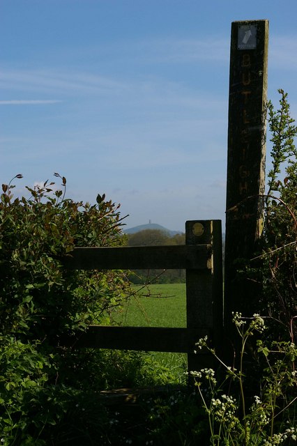
Images are sourced within 2km of 51.110939/-2.693426 or Grid Reference ST5134. Thanks to Geograph Open Source API. All images are credited.

England's Brake is located at Grid Ref: ST5134 (Lat: 51.110939, Lng: -2.693426)
Administrative County: Somerset
District: Mendip
Police Authority: Avon and Somerset
What 3 Words
///fancy.baffle.pulps. Near Street, Somerset
Nearby Locations
Related Wikis
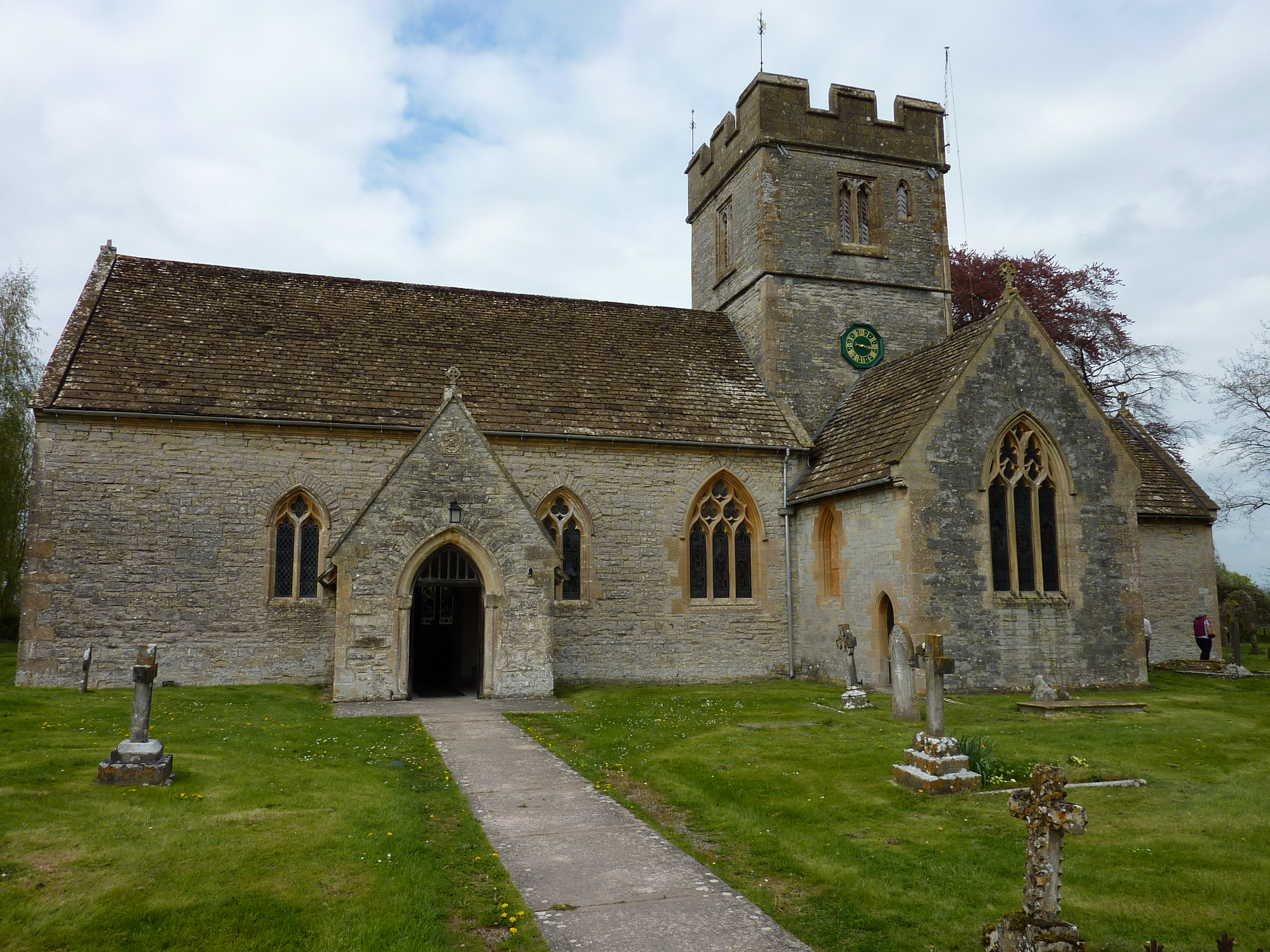
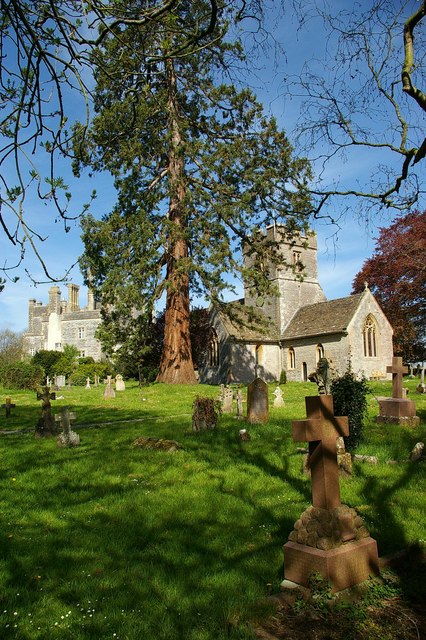
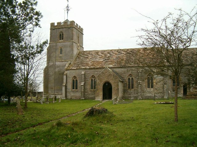
Church of St Leonard, Butleigh
The Anglican Church Of St Leonard in Butleigh, within the English county of Somerset, was built in the 14th century. It is a Grade II* listed building...

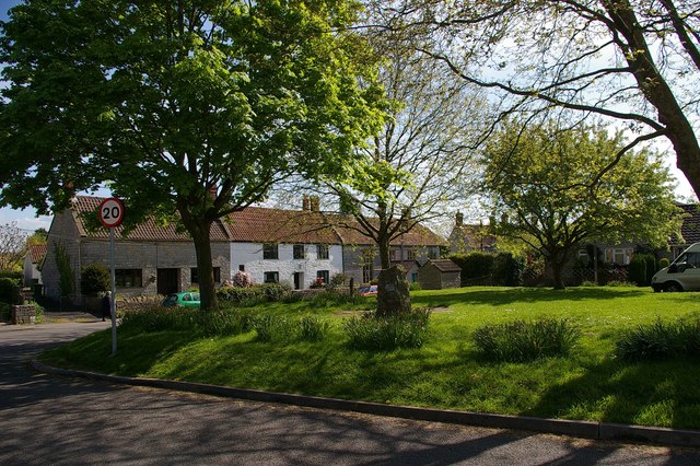
Butleigh
Butleigh is a small village and civil parish, located in Somerset. The nearest village to it is Barton St David, and it is located a short distance from...
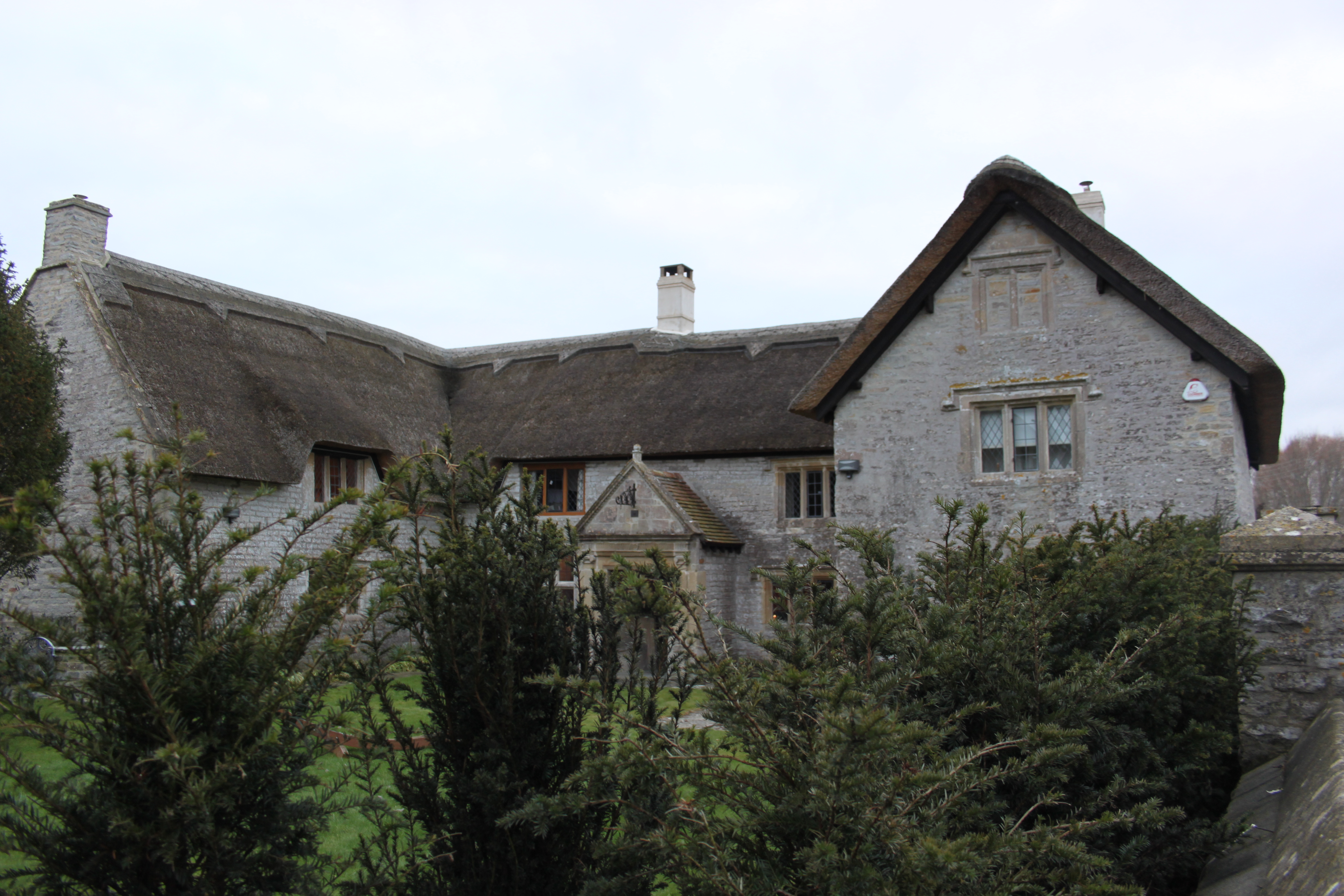
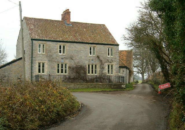
The Gatehouse, Baltonsborough
The Gatehouse in Baltonsborough, Somerset, England, is a thatched house dating from the 16th century. It has been designated a Grade I listed building...

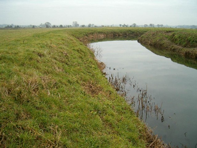
New Ditch
New Ditch is a linear earthwork of possible Iron Age or Medieval construction. It partially crosses the Polden Hills in woodlands approximately 1.1 miles...
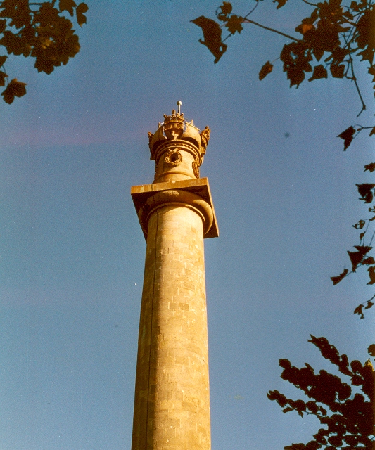
Admiral Hood Monument
The Admiral Hood Monument is a memorial column to Sir Samuel Hood on a hill near Butleigh in the parish of Compton Dundon, Somerset, England. It was completed...
Baltonsborough
Baltonsborough is a village and civil parish in Somerset, England. The parish had a population of 864 at the 2011 Census. As well as Baltonsborough village...

Millfield
Millfield is a public school (English fee-charging boarding and day school for pupils aged 13–18) located in Street, Somerset, England. It was founded...

Battle of Marshall's Elm
The battle of Marshall's Elm was a skirmish that took place near Street, in the county of Somerset, South West England, on 4 August 1642. The engagement...
Related Videos
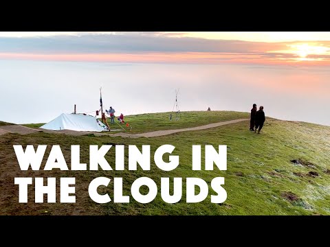
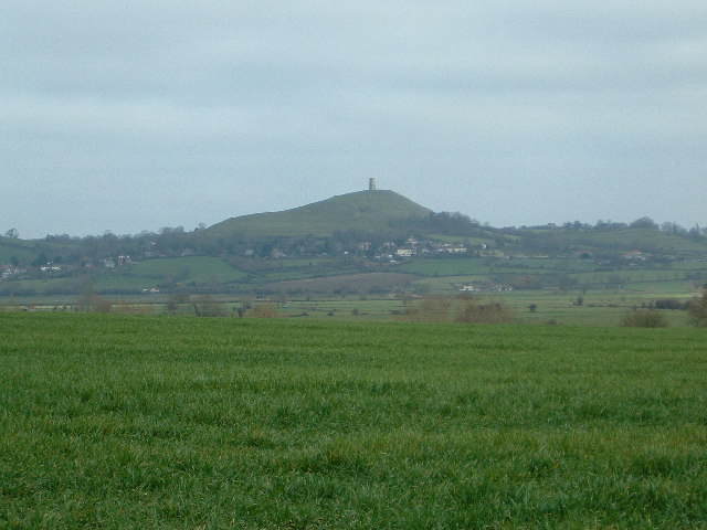
Glastonbury Tor | Walking in the Clouds | A misty and frosty day in Glastonbury, England.
Glastonbury UK shrouded in clouds of mist- taken from a walk up Glastonbury Tor. Its days like this which really make Glastonbury ...

4k Walking Up & Down Glastonbury Tor
Walking Up and Down Glastonbury Tor during a weekend retreat with B Prior and friends.

Walking Ambience - Glastonbury Tor - ASMR
Join me for another of my realtime ASMR walking videos, this time around Glastonbury Tor My partner enjoys visiting this area, ...

Walking up the Glastonbury Tor. June 2023
Walking up towards the top of the Tot in Glastonbury on a gusty but sunny day I'm June 2023.
Have you been to England's Brake?
Leave your review of England's Brake below (or comments, questions and feedback).