Bothy Covert
Wood, Forest in Lancashire Wyre
England
Bothy Covert
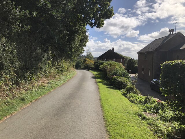
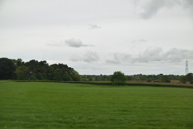
Bothy Covert is a picturesque woodland located in Lancashire, England. Situated in the heart of a thriving forest, this natural haven offers visitors a tranquil escape from the hustle and bustle of everyday life.
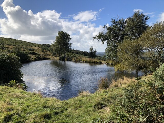
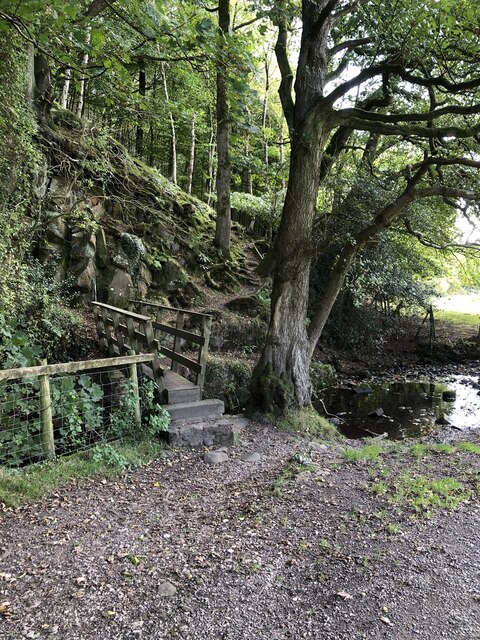
Stretching over a vast area, Bothy Covert is characterized by its dense canopy of trees, creating a shaded and serene environment. The woodland is predominantly composed of native species such as oak, birch, and beech, providing a diverse and rich habitat for a variety of wildlife.
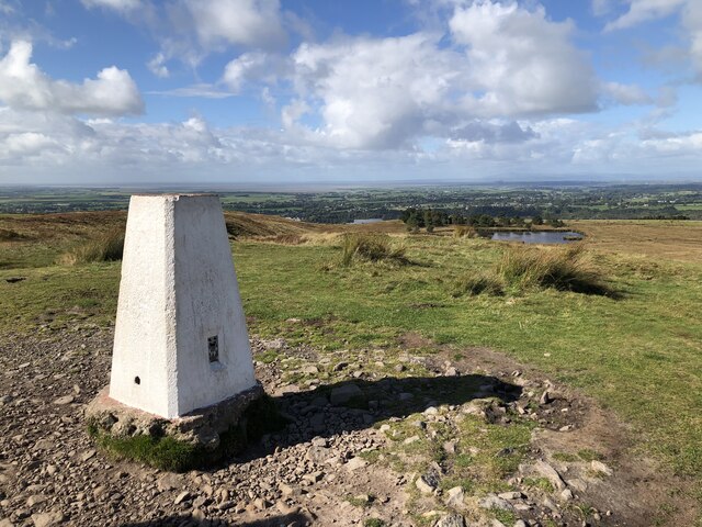
Visitors to Bothy Covert can explore the numerous walking trails that wind their way through the forest, offering breathtaking views of the surrounding natural beauty. These paths are well-maintained and suitable for all levels of fitness, making it an ideal destination for families, nature enthusiasts, and avid hikers.
The woodland is also home to a range of wildlife, including deer, foxes, and a wide variety of bird species. Birdwatchers will be delighted by the opportunity to spot woodpeckers, owls, and other woodland birds in their natural habitat.
Bothy Covert offers a peaceful retreat for those seeking solitude or a place to relax and reconnect with nature. The woodland provides a serene atmosphere, allowing visitors to immerse themselves in the sights and sounds of the forest.
Overall, Bothy Covert is a hidden gem in Lancashire, offering a tranquil and scenic woodland experience. Whether it's a leisurely stroll or a more adventurous hike, visitors are sure to be captivated by the natural beauty and serenity of this enchanting forest.
If you have any feedback on the listing, please let us know in the comments section below.
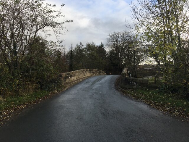
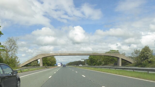
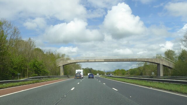
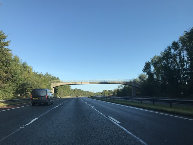
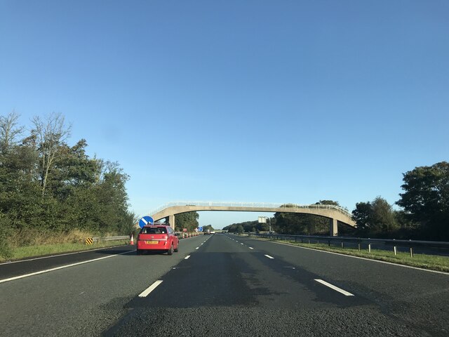
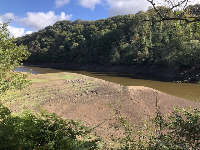
Bothy Covert Images
Images are sourced within 2km of 53.915799/-2.7415543 or Grid Reference SD5146. Thanks to Geograph Open Source API. All images are credited.


Bothy Covert is located at Grid Ref: SD5146 (Lat: 53.915799, Lng: -2.7415543)
Administrative County: Lancashire
District: Wyre
Police Authority: Lancashire
What 3 Words
///garages.journey.threaded. Near Garstang, Lancashire
Related Wikis

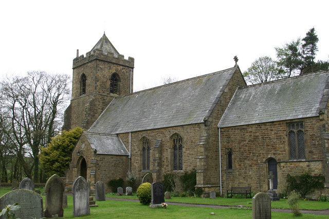
All Saints Church, Barnacre
All Saints Church is in Delph Lane, Barnacre-with-Bonds, Lancashire, England. It is an active Anglican parish church in the deanery of Garstang, the archdeaconry...

Barnacre-with-Bonds
Barnacre-with-Bonds is a civil parish in the Wyre district of Lancashire, England. According to the 2001 census it had a population of 1,751 increasing...

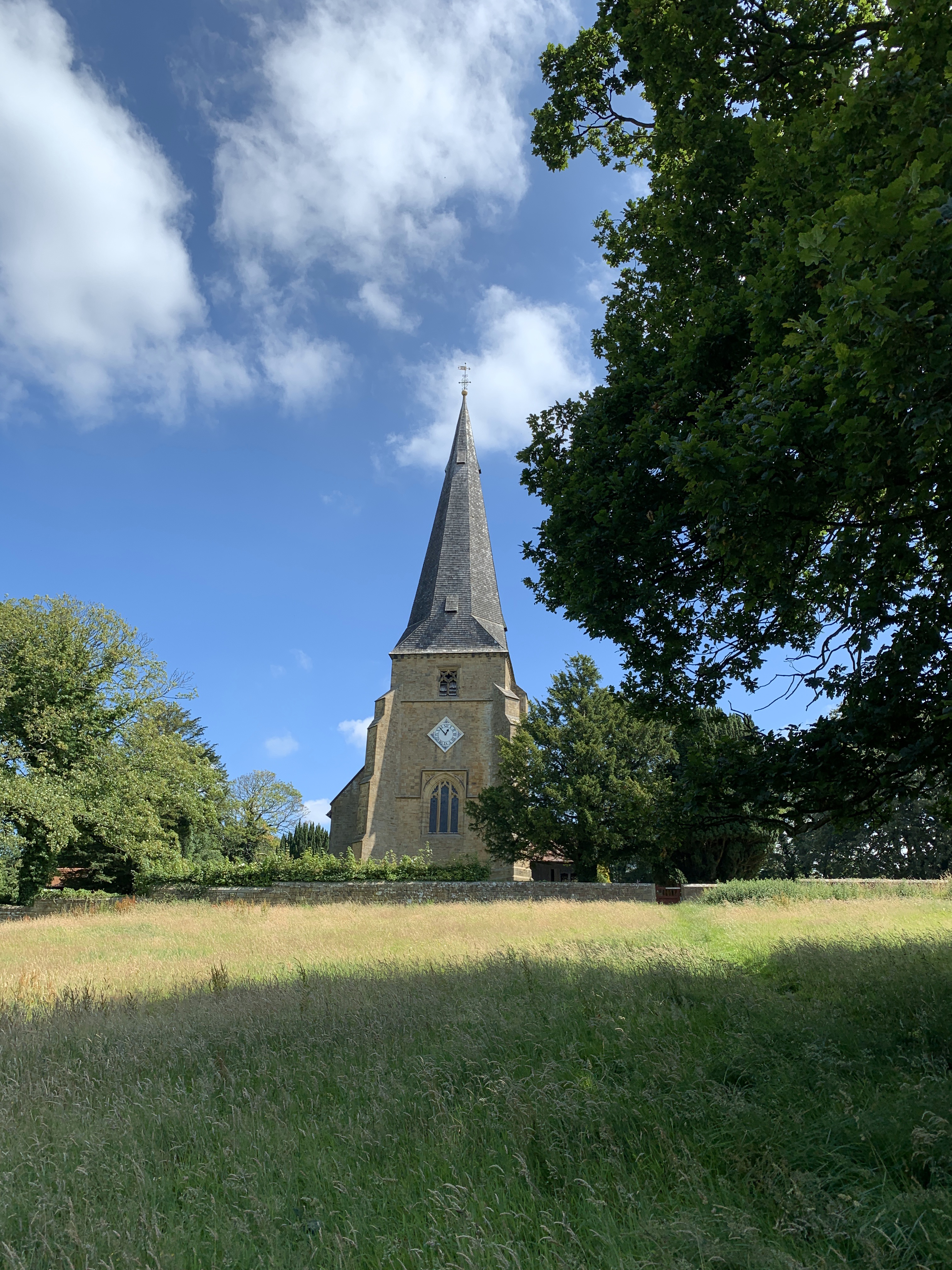
St Peter's Church, Scorton
St Peter's Church is in the village of Scorton, Lancashire, England. It is an active Anglican parish church in the deanery of Garstang, the archdeaconry...
Calder Vale
Calder Vale is an English village, located on the edge of the Forest of Bowland in Lancashire. It lies on the River Calder in a deep valley with only...

Garstang
Garstang is an ancient market town and civil parish within the Wyre borough of Lancashire, England. It is 10 miles (16 km) north of the city of Preston...
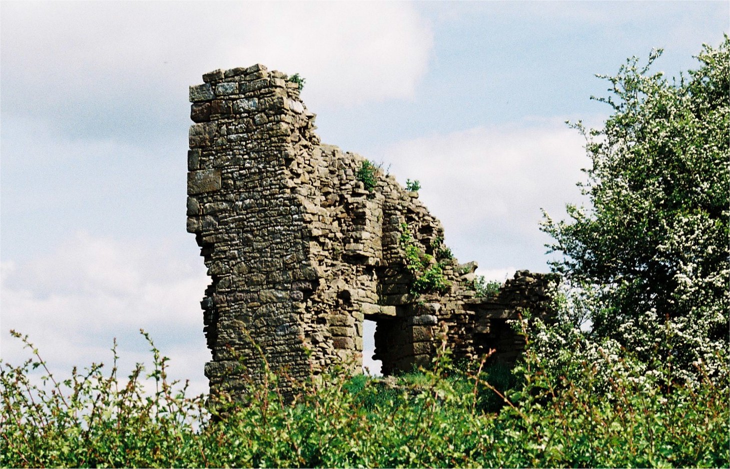
Greenhalgh Castle
Greenhalgh Castle is a castle, now ruined, near the town of Garstang in Lancashire, England. Thomas Stanley, 1st Earl of Derby, had the castle built in...
Scorton, Lancashire
Scorton is a small village near the River Wyre, in the Wyre district of Lancashire, England. It is located north of Garstang. The name means "farmstead...

Cabus
Cabus is a village and civil parish in Lancashire, England. It lies 12 miles north of Preston, 9 miles south of Lancaster and 16 miles north east of Blackpool...
Related Videos

Lancaster Canal Walk, English Countryside 4K
https://www.buymeacoffee.com/Daveswalks All support is hugely appreciated and it helps me keep the channel going! No talking ...

NICKY NOOK SOLO HIKING - Forest of Bowland Walk & Talk! 3 - 4 miles.
A beautiful walk on the edge of the Forest of Bowland in Lancashire. Starting in Wyresdale Park and heading up to Nicky Nook!
Garstang Village Walk and the Scarecrow Festival English Countryside 4K
https://www.buymeacoffee.com/Daveswalks All support is hugely appreciated and it helps me keep the channel going! No talking ...

Nicky Nook Walk - Low Level Easy Access Fells - Walk Diary
Nicky Nook Walk - Low Level Easy Access Fells - Walk Diary, is an account of our trip out to explore and discover walking routes ...
Nearby Amenities
Located within 500m of 53.915799,-2.7415543Have you been to Bothy Covert?
Leave your review of Bothy Covert below (or comments, questions and feedback).