Colton
Settlement in Suffolk West Suffolk
England
Colton
Colton is a small village located in the county of Suffolk, England. Situated about 10 miles north of the town of Woodbridge, it is part of the Mid Suffolk district. With a population of around 200 residents, Colton boasts a close-knit and friendly community.
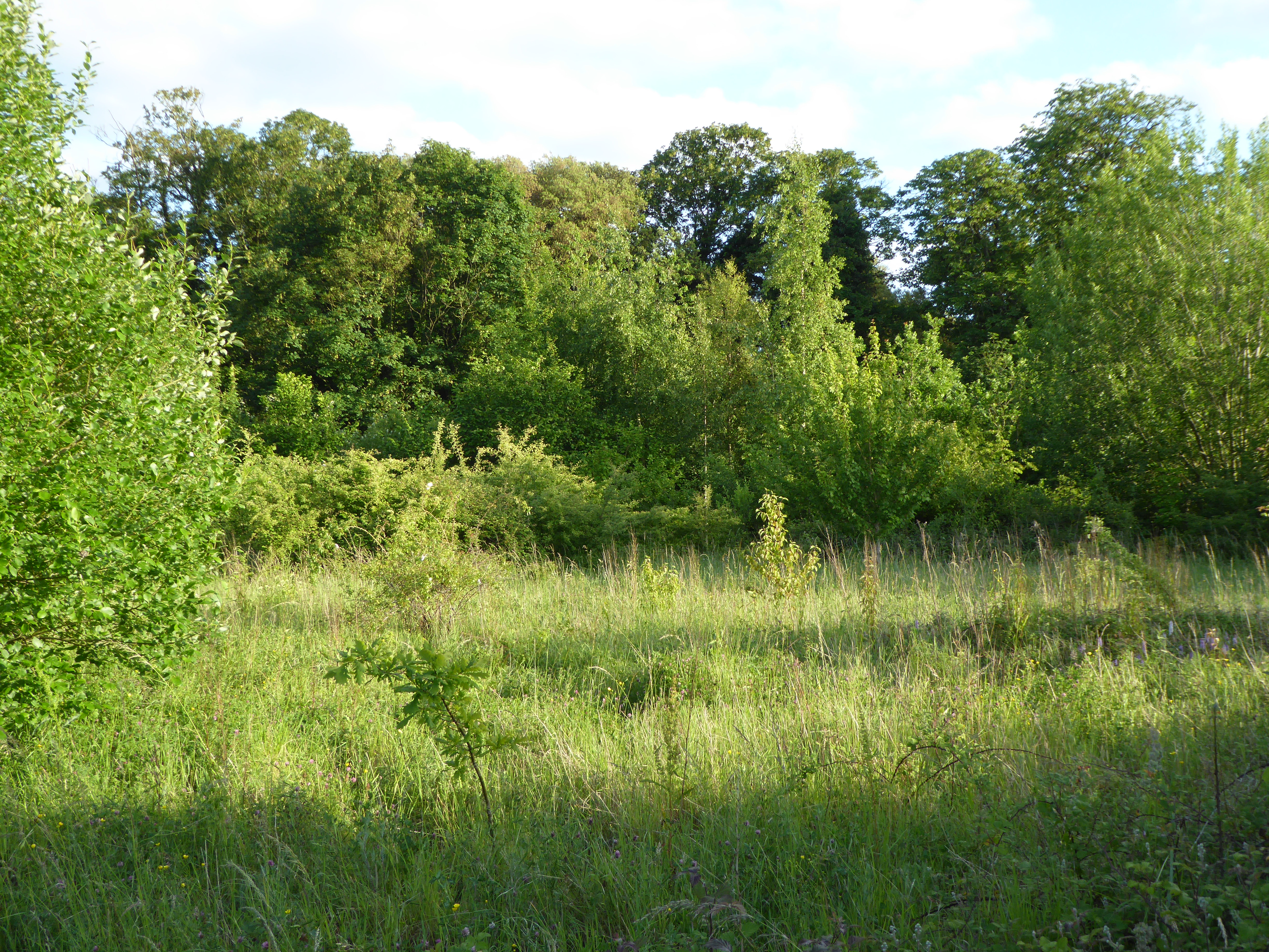
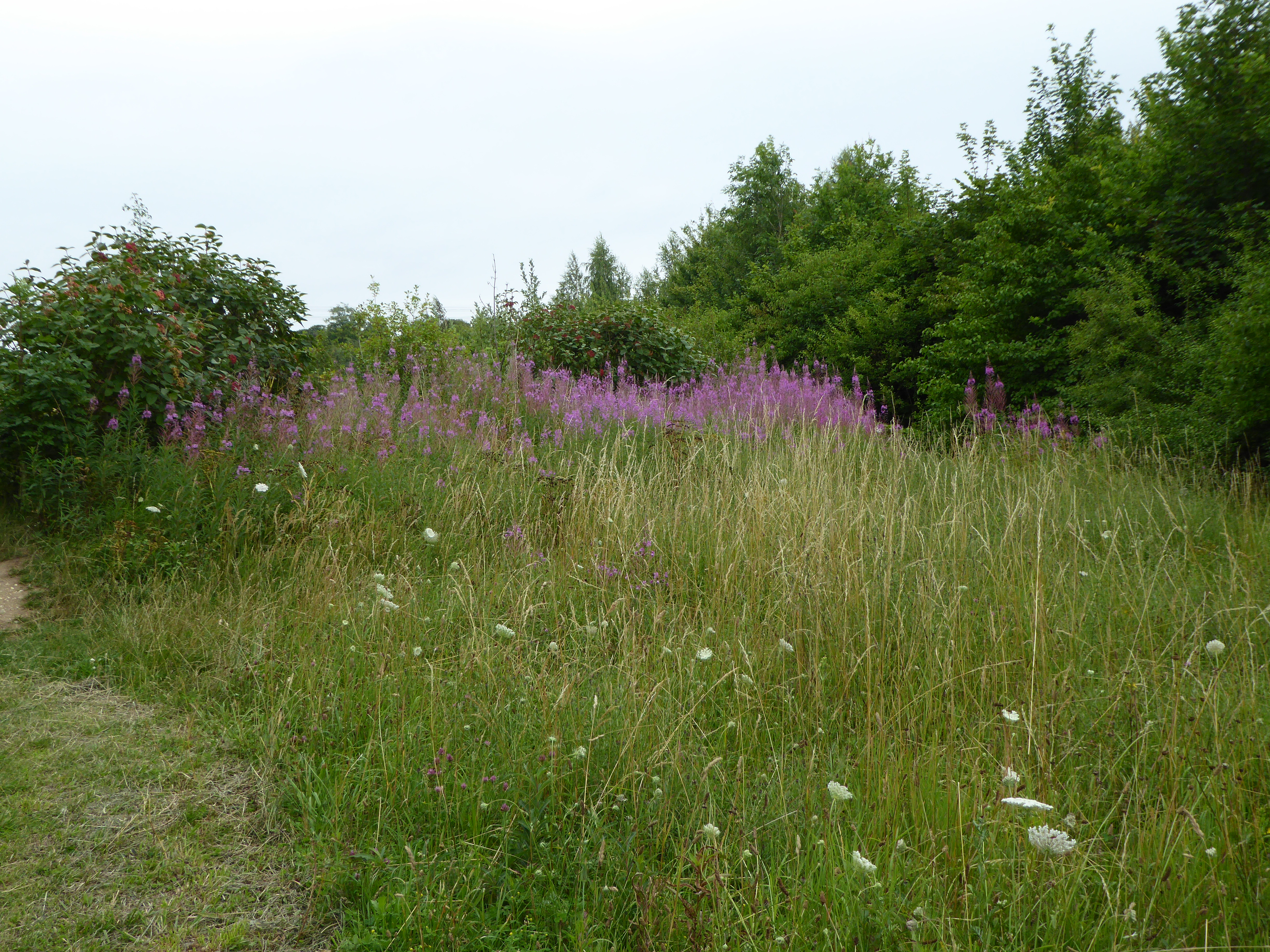
The village is adorned with picturesque countryside scenery, including rolling hills and vast fields, making it an ideal place for nature enthusiasts and those seeking tranquility. It is surrounded by several other charming villages, such as Marlesford, Kettleburgh, and Hoo, which adds to its rural charm.
Colton is home to an ancient church, St. Andrew's, which dates back to the 12th century. This historic building showcases beautiful architecture and holds regular services, serving as a focal point for religious and community gatherings.
The village has limited amenities, including a village hall that hosts various events and activities throughout the year, bringing the locals together. However, for everyday necessities, residents often rely on nearby towns or villages for shopping, healthcare, and other services.
Despite its small size, Colton benefits from excellent transport links. The A12 road, one of the major routes in the region, is just a short drive away, providing easy access to larger towns and cities. Additionally, the nearby Wickham Market railway station offers regular train services to Ipswich and Lowestoft.
Colton, Suffolk, offers a peaceful and idyllic countryside setting, making it a desirable place to live for those seeking a slower pace of life and a strong sense of community.
If you have any feedback on the listing, please let us know in the comments section below.
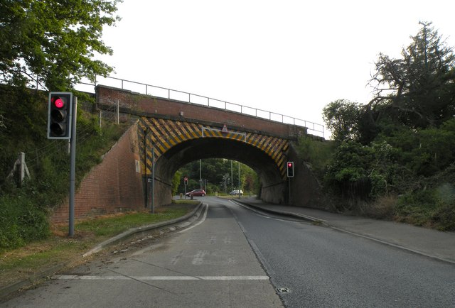
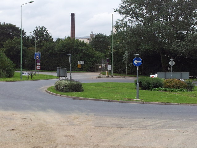
Colton Images
Images are sourced within 2km of 52.265874/0.74406449 or Grid Reference TL8766. Thanks to Geograph Open Source API. All images are credited.


Colton is located at Grid Ref: TL8766 (Lat: 52.265874, Lng: 0.74406449)
Administrative County: Suffolk
District: West Suffolk
Police Authority: Suffolk
What 3 Words
///encroach.butlers.starting. Near Great Barton, Suffolk
Nearby Locations
Related Wikis

Great Barton
Great Barton is a large village and civil parish in the West Suffolk district of Suffolk, England, about 3 miles (5 km) East of Bury St Edmunds on the...

Conyer's Green
Conyer's Green is a village in the civil parish of Great Barton, in the West Suffolk district, in the county of Suffolk, England.
Moreton Hall Community Woods
Moreton Hall Community Woods is an 18.5 hectare local nature reserve in Bury St Edmunds in Suffolk. it is owned by West Suffolk Council and managed by...
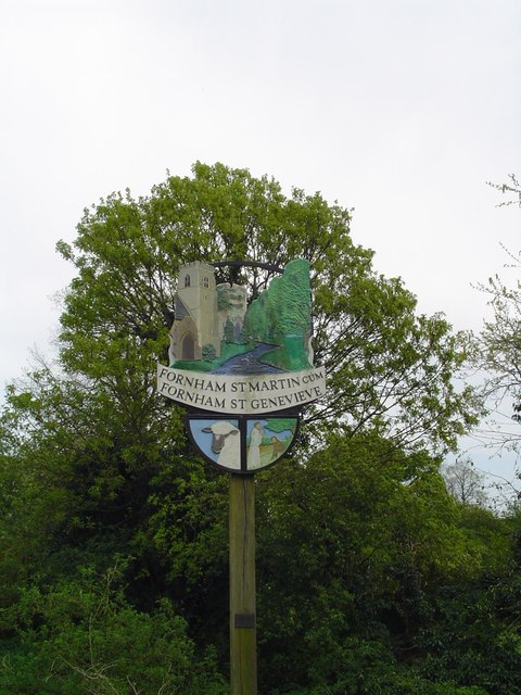
Fornham St Martin
Fornham St Martin is a village and civil parish in the West Suffolk district of Suffolk in eastern England. Located on the northern outskirts of Bury St...

Moreton Hall, Bury St Edmunds
Moreton Hall is a Grade II* listed building in Bury St Edmunds, a market town in the county of Suffolk, England. It was designed by the Scottish architect...
The Glen Chalk Caves, Bury St Edmunds
The Glen Chalk Caves, Bury St Edmunds is a 1.6-hectare (4.0-acre) biological Site of Special Scientific Interest in Bury St Edmunds in Suffolk.Tunnels...

Bury St Edmunds Eastgate railway station
Bury St Edmunds Eastgate railway station (also known as Bury Eastgate was a station in the town of Bury St Edmunds, England, on the Long Melford-Bury...
Team Bury F.C.
Team Bury Football Club was a football club based in Bury St Edmunds, Suffolk. Consisting of players largely drawn from the West Suffolk College Football...
Nearby Amenities
Located within 500m of 52.265874,0.74406449Have you been to Colton?
Leave your review of Colton below (or comments, questions and feedback).