Baron Wood

Wood, Forest in Cumberland Eden

England

Baron Wood

Coombs Wood Near the summit with the woodland in good condition, a week after a storm flattened many trees elsewhere.
Coombs Wood Credit: Richard Webb

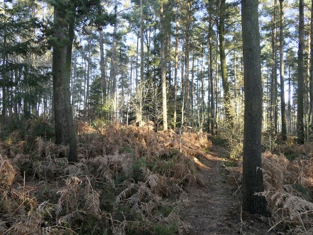
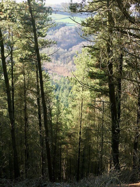
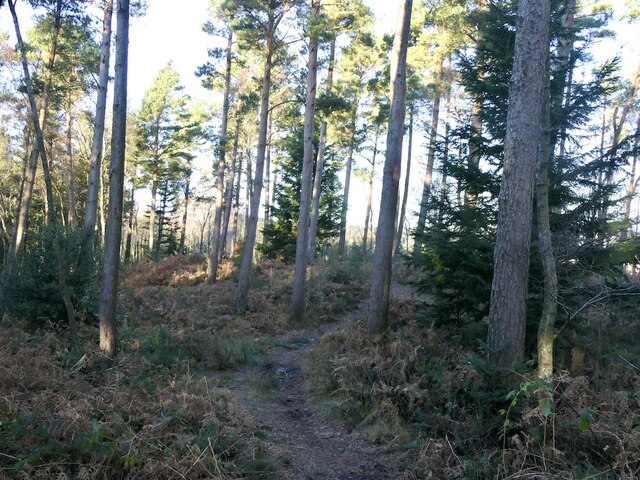
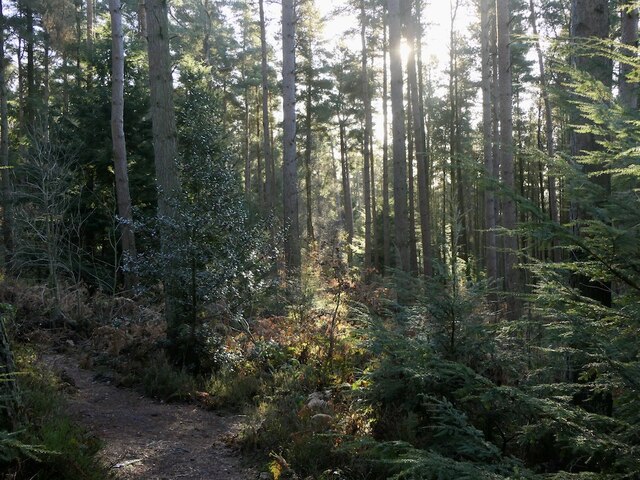
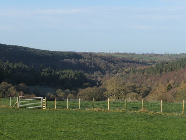
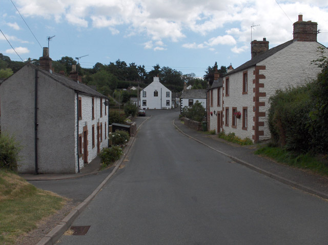
Baron Wood, located in Cumberland, is a picturesque forest renowned for its natural beauty and diverse flora and fauna. Stretching over a vast area, it covers several thousand hectares, making it one of the largest woodlands in the region. The forest is characterized by a mix of broadleaf and coniferous trees, including oak, beech, pine, and spruce, creating a rich and varied ecosystem.

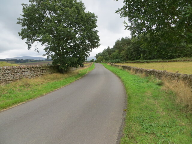
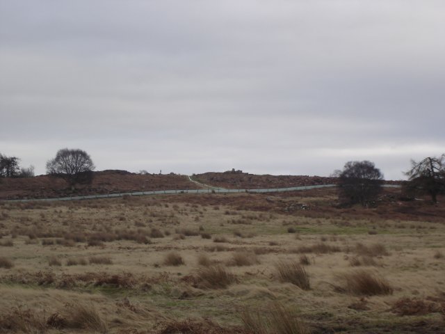
The woodland is known for its tranquil atmosphere and is a popular destination for nature enthusiasts, hikers, and birdwatchers. Its extensive network of well-maintained trails provides ample opportunities for exploration and offers breathtaking views of the surrounding countryside. The forest is home to a wide range of wildlife, including deer, foxes, badgers, and a variety of bird species, making it a haven for wildlife enthusiasts.

Baron Wood also holds historical significance, as it was once part of an expansive estate owned by the Baron family. The remnants of an ancient castle, believed to have been built by the Barons in the 12th century, can still be found within the forest. These ruins serve as a reminder of the area's rich heritage.

The woodland is managed by a dedicated team of conservationists, who work tirelessly to preserve its natural beauty and protect its inhabitants. Public access to the forest is encouraged, but visitors are urged to respect the environment and adhere to designated paths and guidelines to ensure the preservation of this precious ecosystem.

If you have any feedback on the listing, please let us know in the comments section below.

Baron Wood Images

Images are sourced within 2km of 54.788211/-2.7590853 or Grid Reference NY5143. Thanks to Geograph Open Source API. All images are credited.

Coombs Wood Near the summit with the woodland in good condition, a week after a storm flattened many trees elsewhere.
Coombs Wood
Near the summit with the woodland in good condition, a week after a storm flattened many trees elsewhere.
Coombs Wood View down very steep slopes to the woodland beside the Eden.
Coombs Wood
View down very steep slopes to the woodland beside the Eden.
Coombs Wood Near the summit. The woodland survived the storm of 26th November with limited damage.
Coombs Wood
Near the summit. The woodland survived the storm of 26th November with limited damage.
Coombs Wood
Coombs Wood
By Beck Farm A short lane accesses a field  further in from the road.
By Beck Farm
A short lane accesses a field further in from the road.
Grazing sheep A view over the woods either side of the Eden towards Blencathra.
Grazing sheep
A view over the woods either side of the Eden towards Blencathra.
View down the Eden Overlooking Coombs Wood.
View down the Eden
Overlooking Coombs Wood.
Cattle field near Coombs Wood Viewed on a bright mid-March afternoon.
Cattle field near Coombs Wood
Viewed on a bright mid-March afternoon.
Grass track between harvested fields Looking north-eastward towards Baron Wood.
Grass track between harvested fields
Looking north-eastward towards Baron Wood.
Tree enclosed minor road beside Baron Wood Looking north-westward.
Tree enclosed minor road beside Baron Wood
Looking north-westward.
Field edge tractor track Looking south-westward from the road near Beech, Ash, Oak and Elm Cottages.
Field edge tractor track
Looking south-westward from the road near Beech, Ash, Oak and Elm Cottages.
Well enclosed minor road near Baronwood Farm Looking eastward.
Well enclosed minor road near Baronwood Farm
Looking eastward.
Grazing land on Shepherd's Hill Looking north-westward.
Grazing land on Shepherd's Hill
Looking north-westward.
Ordnance Survey Cut Mark This mark can be found on a roadside field entrance gatepost at Baronwood Cottages.
The recorded details give a height of 140.4046 metres above sea level.
For more detail see : <span class="nowrap"><a title="https://www.bench-marks.org.uk/bm179921" rel="nofollow ugc noopener" href="https://www.bench-marks.org.uk/bm179921">Link</a><img style="margin-left:2px;" alt="External link" title="External link - shift click to open in new window" src="https://s1.geograph.org.uk/img/external.png" width="10" height="10"/></span>
Ordnance Survey Cut Mark
This mark can be found on a roadside field entrance gatepost at Baronwood Cottages. The recorded details give a height of 140.4046 metres above sea level. For more detail see : LinkExternal link
Farm at Nunclose
Farm at Nunclose
Blaze Fell from the west The most recent OS map shows this area as Access Land, which it is, reachable via a gate at NY487441. Unfortunately the 'summit' (if 242 m can qualify as a peak!) area is fenced off with barbed wire as its immediate surroundings have the appearance of being currently quarried - not "Quarries (dis)" as the map would suggest. Saw several deer roaming wild near the summit. On a clear day this location affords excellent views across to both the Lakes and the Pennines.
Blaze Fell from the west
The most recent OS map shows this area as Access Land, which it is, reachable via a gate at NY487441. Unfortunately the 'summit' (if 242 m can qualify as a peak!) area is fenced off with barbed wire as its immediate surroundings have the appearance of being currently quarried - not "Quarries (dis)" as the map would suggest. Saw several deer roaming wild near the summit. On a clear day this location affords excellent views across to both the Lakes and the Pennines.
Trig Point on Blaze Fell looking towards Barrock Fell If you go here beware of deep excavations, large pieces of unattached sandstone and some rather tricky rabbit holes!
Trig Point on Blaze Fell looking towards Barrock Fell
If you go here beware of deep excavations, large pieces of unattached sandstone and some rather tricky rabbit holes!
Blaze Fell Quarry & Trig Point (plus a quarry troll?) He's not strictly part of the local geography, but I couldn't find anything forbidding the addition of a little human interest to 'supplementary' photos. Reuben, age 6, was good company on our little trek up the hill!
Blaze Fell Quarry & Trig Point (plus a quarry troll?)
He's not strictly part of the local geography, but I couldn't find anything forbidding the addition of a little human interest to 'supplementary' photos. Reuben, age 6, was good company on our little trek up the hill!
Show me another place!

Baron Wood is located at Grid Ref: NY5143 (Lat: 54.788211, Lng: -2.7590853)

Administrative County: Cumbria

District: Eden

Police Authority: Cumbria

What 3 Words

///incurring.verge.trailing. Near Wetheral, Cumbria

Nearby Locations

Baron Wood

Related Wikis

Ruckcroft

Ruckcroft is a hamlet in the English county of Cumbria. It neighbours the larger settlements of Armathwaite and Ainstable. In the past Ruckcroft had a...

Armathwaite Castle

Armathwaite Castle is in the village of Armathwaite, Cumbria, England, by the River Eden. Originally built to defend against Scottish raiders in the 15th...

Ainstable

Ainstable is a village and civil parish in the English county of Cumbria. The parish stretches from the banks of the River Eden to the summits of the North...

Armathwaite

Armathwaite is a village in the English ceremonial county of Cumbria. Historically within the county of Cumberland, Armathwaite lies on the River Eden...

Armathwaite railway station

Armathwaite is a railway station on the Settle and Carlisle Line, which runs between Carlisle and Leeds via Settle. The station, situated 9 miles 75 chains...

Tarn Wadling

Tarn Wadling (formerly spelled Turnewathelane, Terne Wathelyne, among others) was a lake between Carlisle and Penrith, near the village of High Hesket...

Armathwaite Nunnery

Armathwaite Nunnery was a Benedictine nunnery in Cumbria, England. It was situated near the confluence of the rivers Croglin Water and Eden in the southern...

Dale, Cumbria

Dale is a hamlet in Cumbria, England. == References ==

Nearby Amenities

Located within 500m of 54.788211,-2.7590853
Turning Circle
Lat/Long: 54.7868312/-2.7618882
The data included in this document is from www.openstreetmap.org. The data is made available under ODbL.

Have you been to Baron Wood?

Leave your review of Baron Wood below (or comments, questions and feedback).