Simmondshill Wood
Wood, Forest in Cheshire
England
Simmondshill Wood

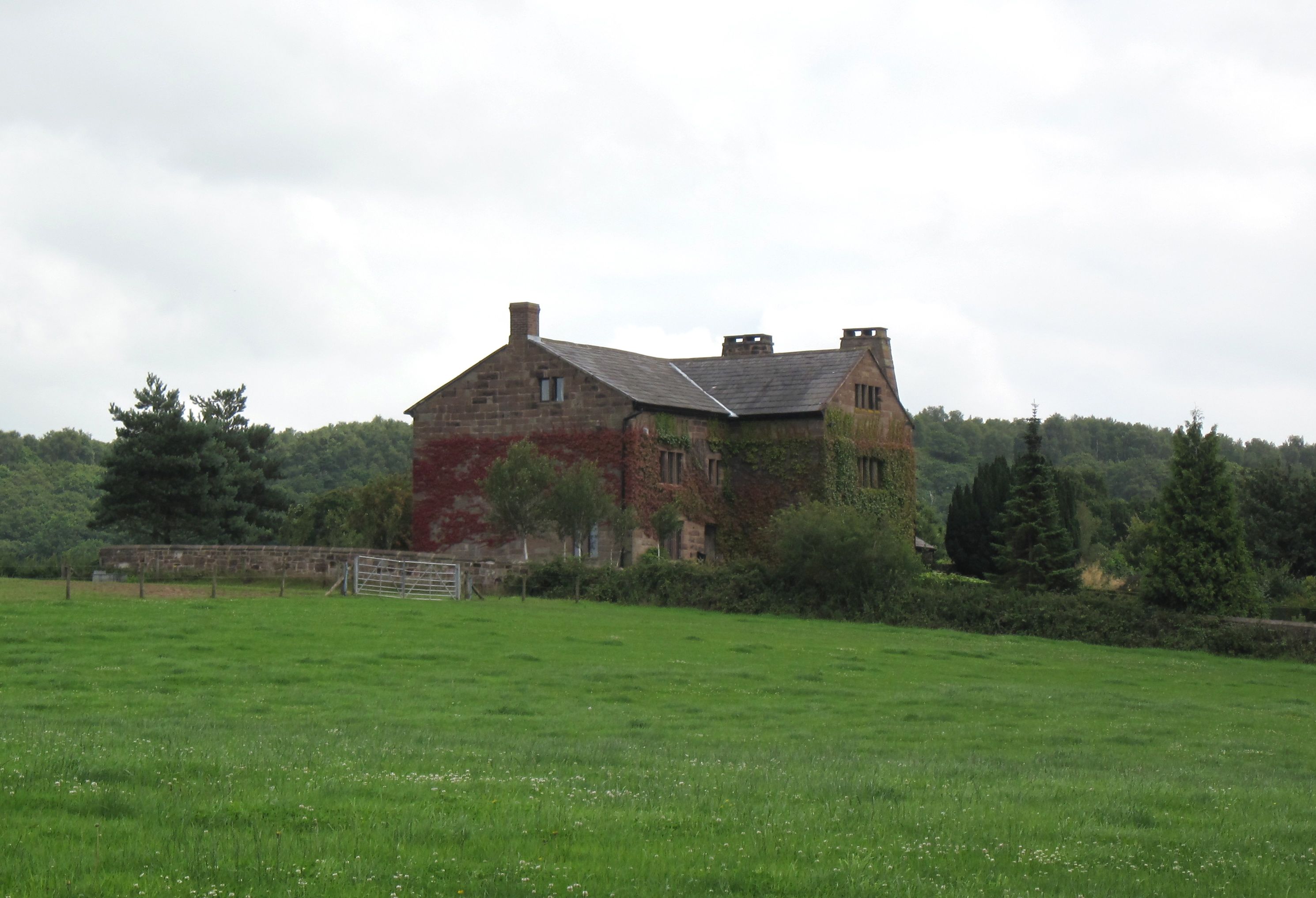
Simmondshill Wood, located in Cheshire, England, is a beautiful forest that spans approximately 500 acres. It is situated near the village of Sproston and is a popular destination for nature enthusiasts and hikers. The wood is part of the larger Great Budworth Common and is managed by the Forestry Commission.
One of the notable features of Simmondshill Wood is its diverse range of tree species. The forest is predominantly composed of broadleaf trees such as oak, birch, and beech, which create a captivating and vibrant landscape throughout the year. The wood is also home to a variety of wildlife, including deer, rabbits, badgers, and numerous bird species.
Several well-marked trails and footpaths crisscross the woodland, providing visitors with the opportunity to explore and immerse themselves in the natural surroundings. These paths cater to all levels of hikers, from leisurely strolls to more challenging hikes. Along the way, hikers can enjoy the peaceful ambiance and breathtaking views of the surrounding countryside.
Simmondshill Wood offers a tranquil escape from the hustle and bustle of everyday life, providing a serene setting for picnics, family outings, or simply a peaceful retreat into nature. The wood is accessible to the public throughout the year, allowing visitors to experience the changing seasons and the beauty they bring to the forest.
Overall, Simmondshill Wood is a picturesque and diverse woodland that offers a rich natural experience for visitors. With its varied tree species, wildlife, and well-maintained trails, it is an idyllic destination for outdoor enthusiasts and nature lovers alike.
If you have any feedback on the listing, please let us know in the comments section below.
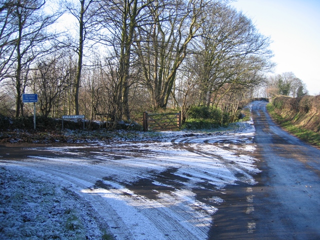
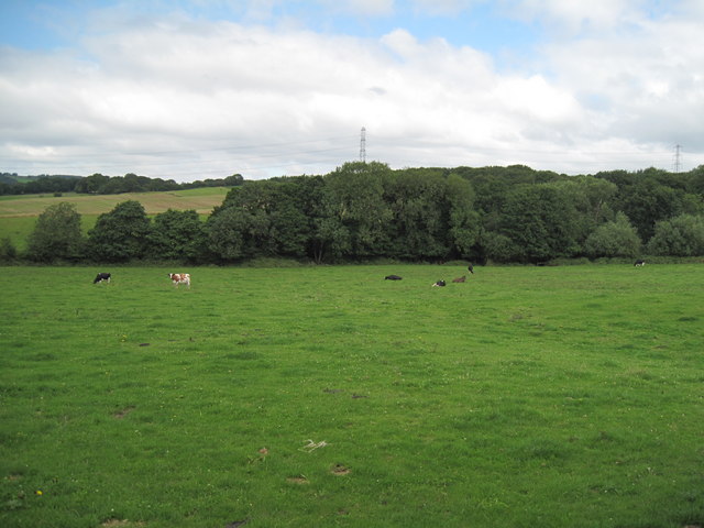
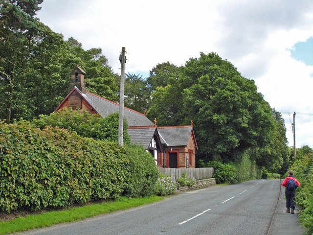
Simmondshill Wood Images
Images are sourced within 2km of 53.247833/-2.7334123 or Grid Reference SJ5172. Thanks to Geograph Open Source API. All images are credited.


Simmondshill Wood is located at Grid Ref: SJ5172 (Lat: 53.247833, Lng: -2.7334123)
Unitary Authority: Cheshire West and Chester
Police Authority: Cheshire
What 3 Words
///plots.heat.steadier. Near Mouldsworth, Cheshire
Nearby Locations
Related Wikis
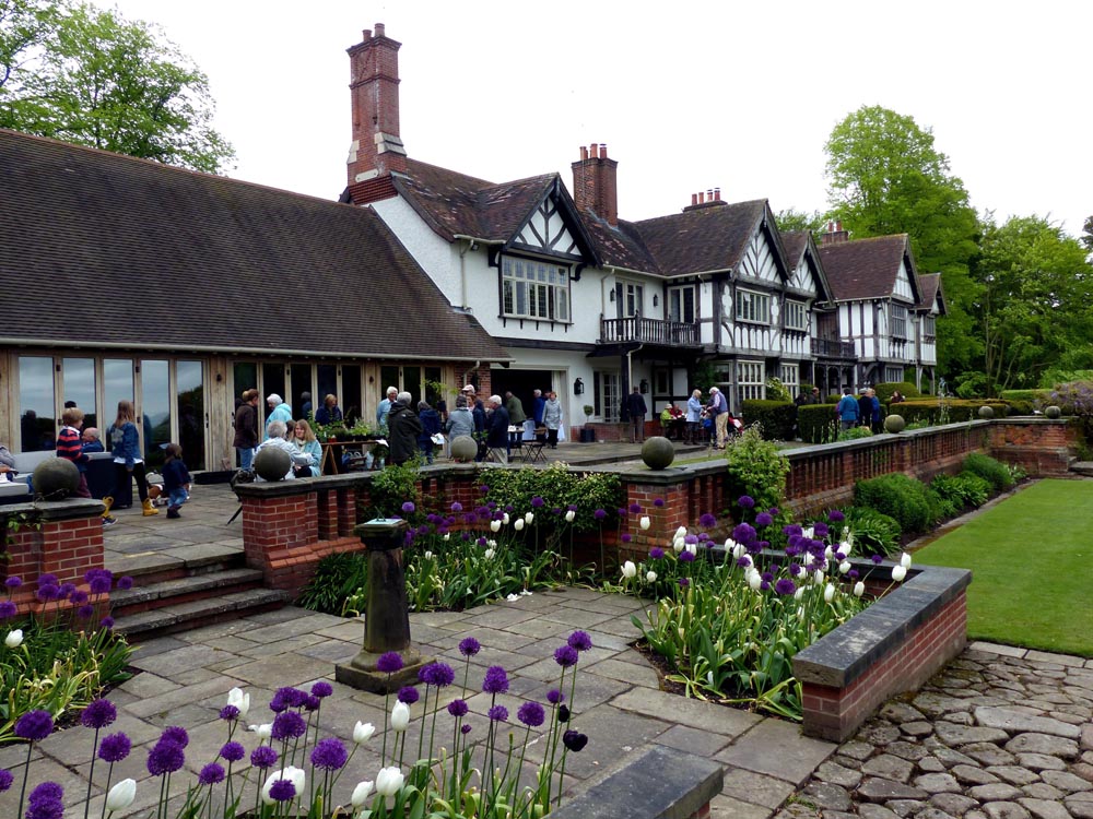
Manley Knoll
Manley Knoll is a small country house north of the village of Manley, Cheshire, England. It was designed in 1912 for Llewellyn Jones. Its construction...

Austerson Old Hall
Austerson Old Hall is 1 mile (1.6 km) southeast of the village of Alvanley, Cheshire, England. It is recorded in the National Heritage List for England...
Manley, Cheshire
Manley is a village and civil parish in the unitary authority of Cheshire West and Chester (formerly Vale Royal) and the ceremonial county of Cheshire...

Mouldsworth
Mouldsworth is a village and civil parish on the outskirts of Chester in the unitary authority of Cheshire West and Chester and the ceremonial county of...
Alvanley Hall
Alvanley Hall is in Manley Road, 0.25 miles (0.4 km) to the southeast of the village of Alvanley, Cheshire, England. It is recorded in the National Heritage...

Manley railway station
Manley railway station was located to the west of Manley, Cheshire, England. The station was opened by the Cheshire Lines Committee on 22 June 1870, closed...

Mouldsworth railway station
Mouldsworth railway station opened on 22 June 1870 and serves the village of Mouldsworth in Cheshire, England. It is managed by Northern Trains. The station...

Diocese of Chester
The Diocese of Chester is a Church of England diocese in the Province of York covering the pre-1974 county of Cheshire and therefore including the Wirral...
Nearby Amenities
Located within 500m of 53.247833,-2.7334123Have you been to Simmondshill Wood?
Leave your review of Simmondshill Wood below (or comments, questions and feedback).