Leapers Wood
Wood, Forest in Lancashire Lancaster
England
Leapers Wood

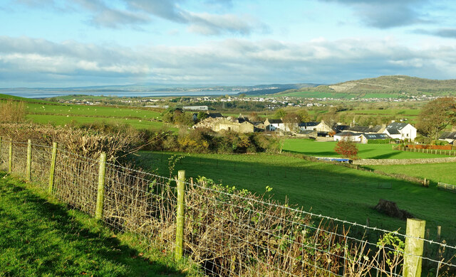
Leapers Wood is a picturesque forest located in Lancashire, a county in the North West of England. Situated on the outskirts of a small village, the wood is a popular destination for nature enthusiasts and hikers seeking tranquility and natural beauty.
Covering an area of approximately 100 acres, Leapers Wood is characterized by its dense canopy of tall, mature trees, including oak, beech, and ash. The forest floor is carpeted with a variety of wildflowers, ferns, and mosses, creating a vibrant and diverse ecosystem. The wood is also home to a rich array of wildlife, including deer, squirrels, and various bird species, making it a haven for animal lovers and birdwatchers.
Traversing through Leapers Wood, visitors will find a network of well-maintained footpaths, allowing for easy exploration of the forest. The paths meander through the trees, leading to clearing areas where visitors can pause and take in the tranquil surroundings. On sunny days, dappled sunlight filters through the leaves, creating a serene and idyllic atmosphere.
Leapers Wood is not only known for its natural beauty but also for its historical significance. The wood is believed to have been used as a hunting ground for nobility in the past, and remnants of old hunting lodges can still be found scattered throughout the forest. These remnants serve as a reminder of the wood's rich heritage and add an intriguing element to the overall experience.
Overall, Leapers Wood offers a peaceful retreat from the hustle and bustle of everyday life, providing visitors with an opportunity to connect with nature and immerse themselves in the stunning surroundings.
If you have any feedback on the listing, please let us know in the comments section below.
Leapers Wood Images
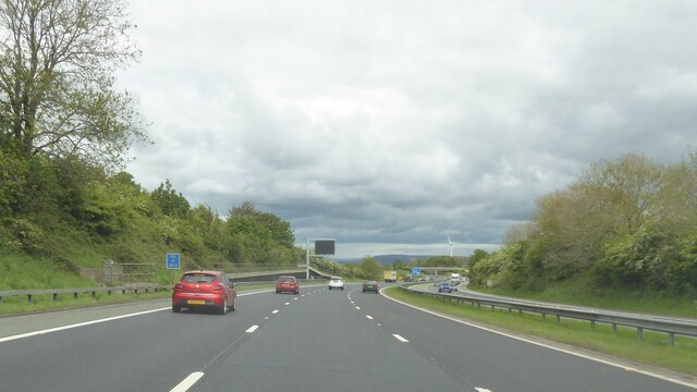
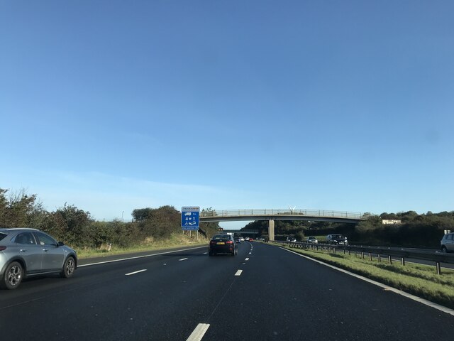
Images are sourced within 2km of 54.121783/-2.7503232 or Grid Reference SD5169. Thanks to Geograph Open Source API. All images are credited.


Leapers Wood is located at Grid Ref: SD5169 (Lat: 54.121783, Lng: -2.7503232)
Administrative County: Lancashire
District: Lancaster
Police Authority: Lancashire
What 3 Words
///deprives.narrates.never. Near Carnforth, Lancashire
Nearby Locations
Related Wikis
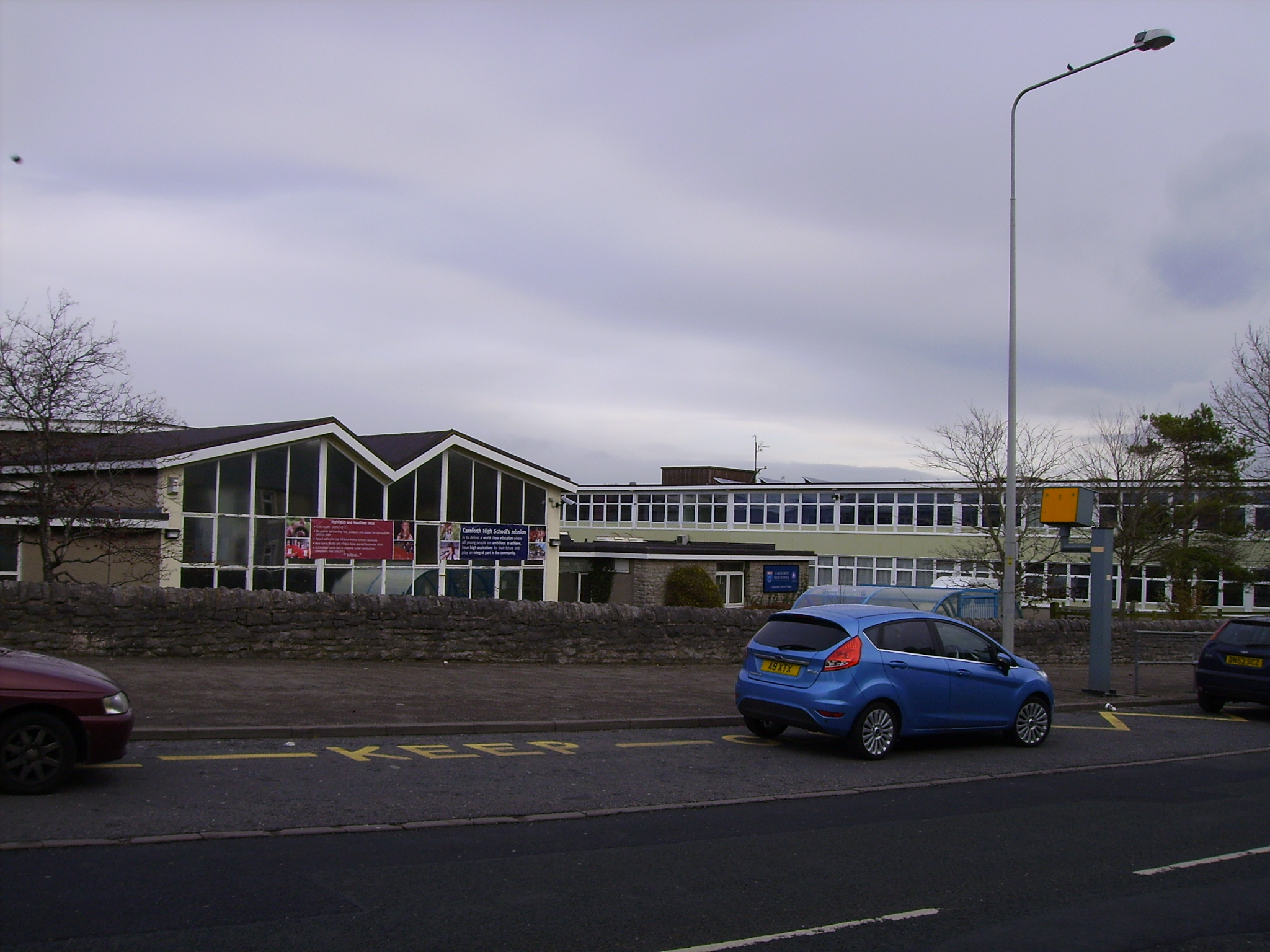
Carnforth High School
Carnforth High School is a coeducational secondary school located in Carnforth, Lancashire, England. The school previously held specialist Science College...
Carnforth
Carnforth is a market town and civil parish in the City of Lancaster in Lancashire, England, situated at the north-east end of Morecambe Bay. The parish...

Over Kellet
Over Kellet is a village and civil parish near Carnforth in the English county of Lancashire. The parish, which is in the City of Lancaster, includes the...

St Cuthbert's Church, Over Kellet
St Cuthbert's Church is in the village of Over Kellet, Lancashire, England. It is an active Anglican parish church in the deanery of Tunstall, the archdeaconry...

Carnforth War Memorial
The Carnforth War Memorial was erected on 9 November 1924, to commemorate soldiers from Carnforth who died during and after World War I. == Design == The...
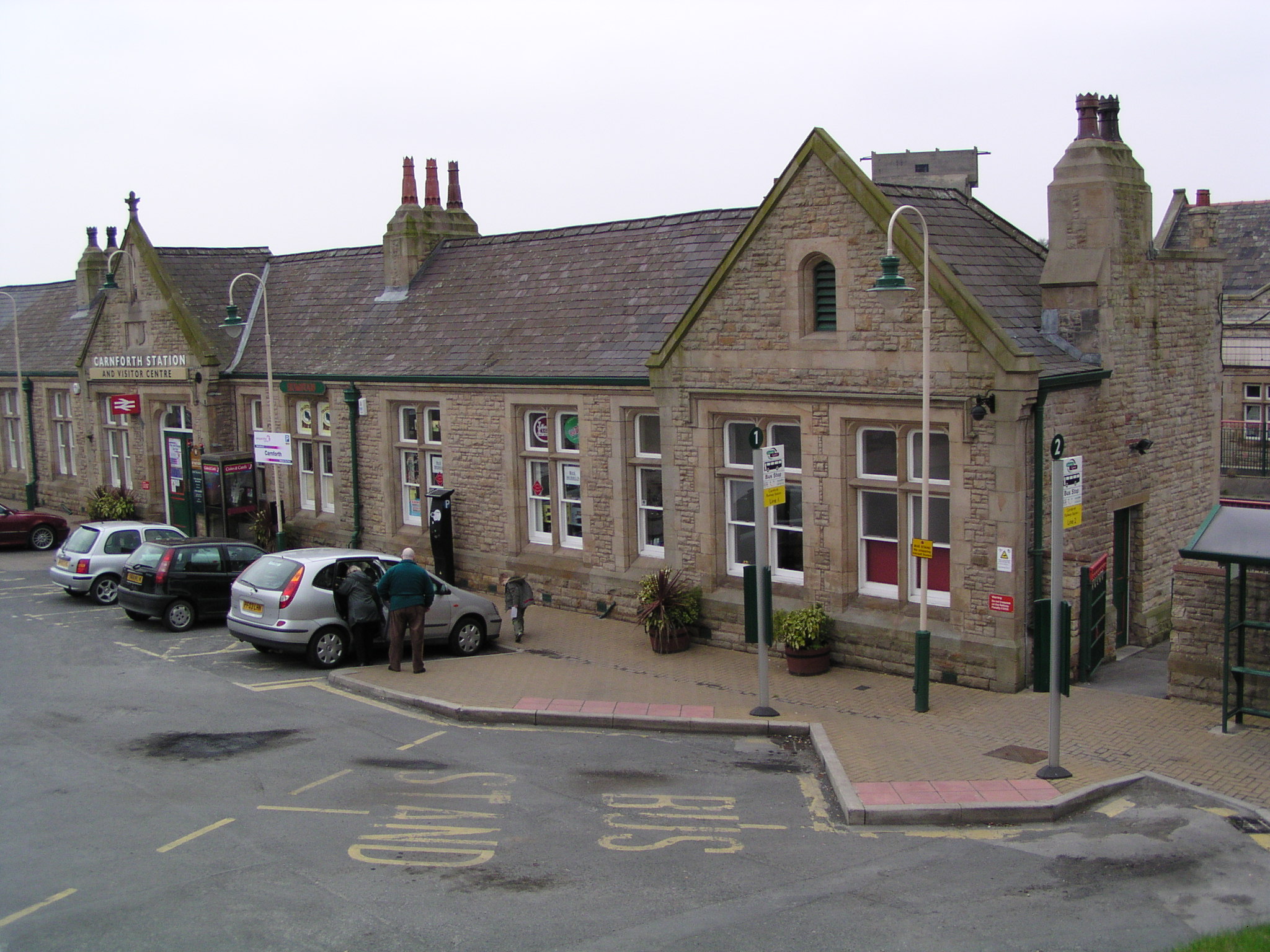
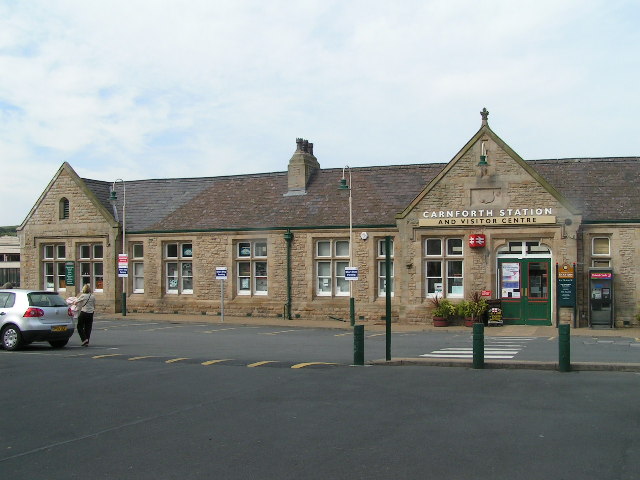
Carnforth railway station
Carnforth is a railway station on the Bentham and Furness Lines, 6 miles (10 km) north of Lancaster, England, which serves the market town of Carnforth...

Nether Kellet
Nether Kellet is a village and civil parish in the City of Lancaster in Lancashire, England, a few miles south of Carnforth. It had a population of 646...
West Coast Railways
West Coast Railways (WCR) is a railway spot-hire company and charter train operator based at Carnforth MPD in Lancashire. Using buildings and other facilities...
Nearby Amenities
Located within 500m of 54.121783,-2.7503232Have you been to Leapers Wood?
Leave your review of Leapers Wood below (or comments, questions and feedback).