Four Acre Wood
Wood, Forest in Lancashire South Ribble
England
Four Acre Wood

Four Acre Wood is a picturesque woodland located in Lancashire, England. Covering an area of approximately four acres, it is a small but enchanting forest that appeals to nature lovers and outdoor enthusiasts.
The wood is situated in a rural area, surrounded by rolling hills and scenic landscapes. It is easily accessible by foot, with several well-maintained footpaths leading to its entrance. Upon entering the wood, visitors are greeted by a diverse range of flora and fauna, creating an immersive and tranquil environment.
The wood is predominantly composed of deciduous trees, including oak, beech, and birch. These trees provide ample shade and create a vibrant canopy overhead. The forest floor is carpeted with an array of wildflowers, adding bursts of color to the surroundings.
A network of winding trails crisscrosses through the wood, allowing visitors to explore its entirety. These paths are well-marked and maintained, ensuring a safe and enjoyable experience for all. Along the way, one may encounter wildlife such as squirrels, rabbits, and various bird species that call Four Acre Wood their home.
Many visitors are drawn to the wood for its peaceful atmosphere, making it an ideal location for walking, picnicking, and photography. The wood’s natural beauty also makes it a popular spot for nature enthusiasts and artists seeking inspiration.
Overall, Four Acre Wood in Lancashire is a small but captivating forest that offers visitors a chance to immerse themselves in nature. Its diverse flora, well-maintained trails, and serene ambiance make it a must-visit destination for anyone seeking a peaceful retreat.
If you have any feedback on the listing, please let us know in the comments section below.
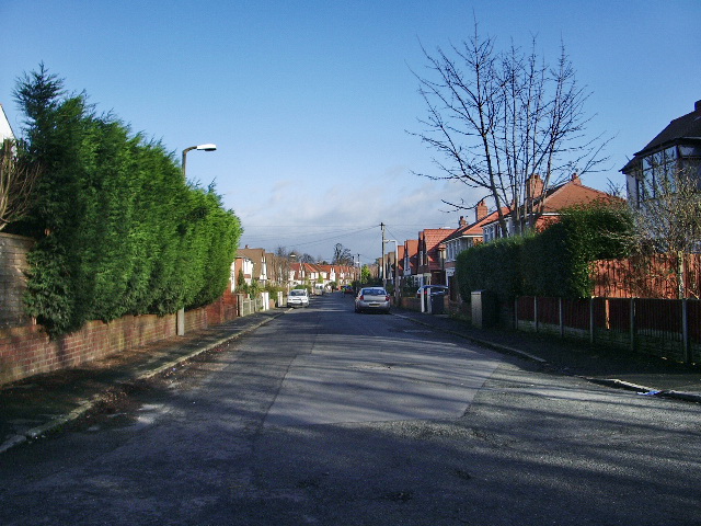
Four Acre Wood Images
Images are sourced within 2km of 53.750756/-2.7464536 or Grid Reference SD5028. Thanks to Geograph Open Source API. All images are credited.


Four Acre Wood is located at Grid Ref: SD5028 (Lat: 53.750756, Lng: -2.7464536)
Administrative County: Lancashire
District: South Ribble
Police Authority: Lancashire
What 3 Words
///loser.crib.fork. Near Preston, Lancashire
Nearby Locations
Related Wikis

Penwortham Priory Academy
Penwortham Priory Academy is a coeducational secondary school located in Penwortham in the English county of Lancashire.Previously a community school administered...
Howick Cross
Howick Cross is a landmark and small hamlet in Penwortham, South Ribble, Lancashire, England. It is located just over 2 miles south west of the city of...

Preston Riverside railway station
Preston Riverside railway station is the only station on the heritage Ribble Steam Railway, in Riversway, Preston, Lancashire, England. It was built and...
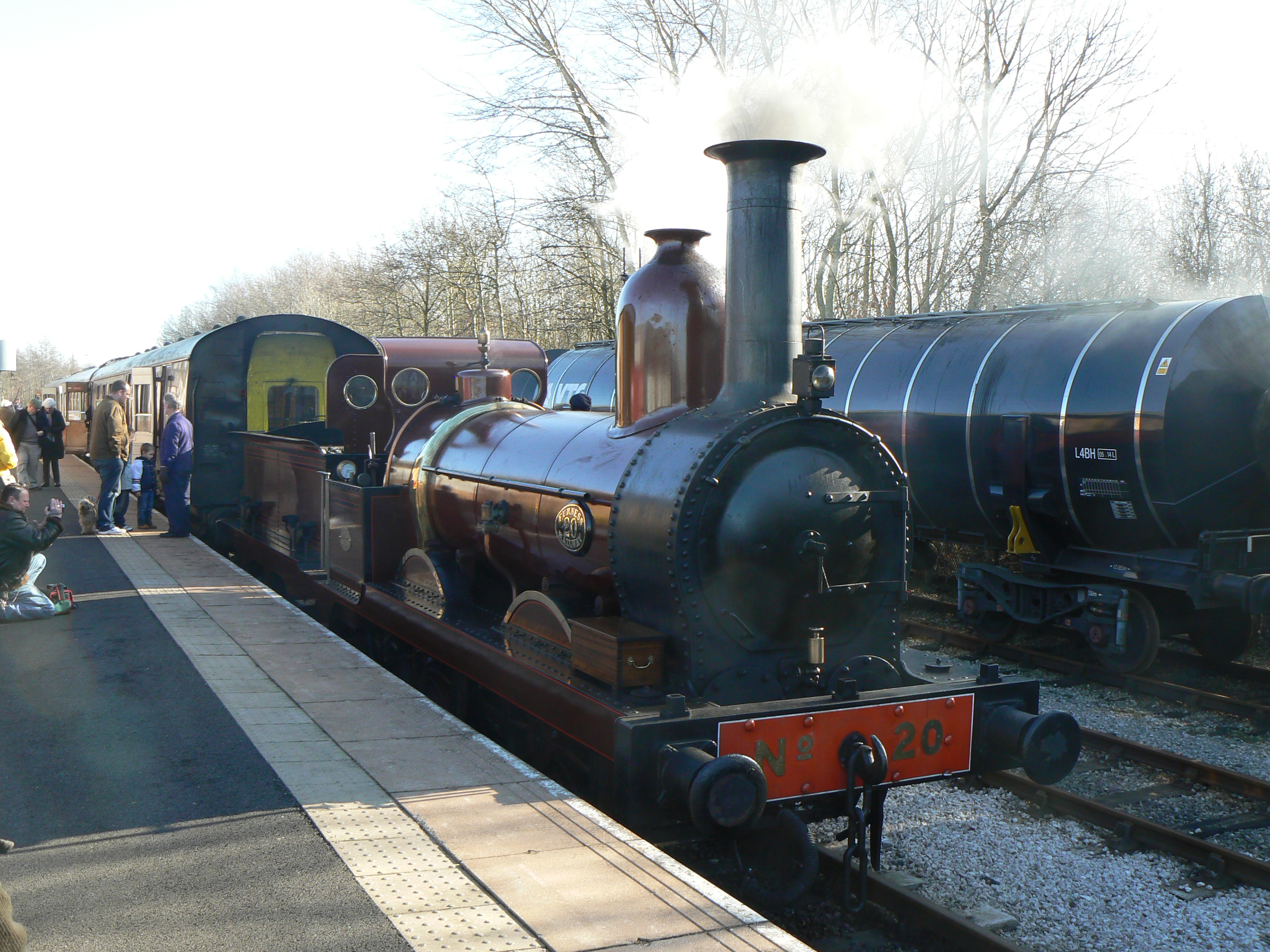
Furness Railway Trust
The Furness Railway Trust is a heritage railway preservation organisation many of whose properties were originally owned by the Furness Railway. It is...
Nearby Amenities
Located within 500m of 53.750756,-2.7464536Have you been to Four Acre Wood?
Leave your review of Four Acre Wood below (or comments, questions and feedback).