Bathing Pond Wood
Wood, Forest in Somerset
England
Bathing Pond Wood

Bathing Pond Wood is a picturesque forest located in Somerset, England. Covering an area of approximately 100 acres, it is a popular destination for nature lovers and outdoor enthusiasts. The wood is situated near the village of Chew Magna, offering easy access for visitors.
The name "Bathing Pond Wood" originates from the presence of a beautiful natural pond within the forest. This pond has been a popular spot for locals and visitors to swim and relax for many years. Surrounded by lush greenery and tall trees, it provides a tranquil and idyllic setting for those seeking a refreshing dip.
In addition to the pond, Bathing Pond Wood is known for its diverse range of flora and fauna. The forest is home to a variety of tree species, including oak, beech, and ash, creating a rich and vibrant ecosystem. It also supports a wide array of wildlife, including squirrels, deer, and numerous bird species.
The wood offers several walking trails and paths, allowing visitors to explore its natural beauty at their own pace. These trails vary in difficulty, catering to both casual strollers and experienced hikers. Along the way, there are several designated picnic areas where visitors can relax and enjoy a meal amidst the peaceful surroundings.
Overall, Bathing Pond Wood is a hidden gem in Somerset, offering a serene escape from the hustle and bustle of everyday life. Its natural beauty, combined with its accessibility and recreational opportunities, make it a must-visit destination for anyone seeking a peaceful and enjoyable outdoor experience.
If you have any feedback on the listing, please let us know in the comments section below.
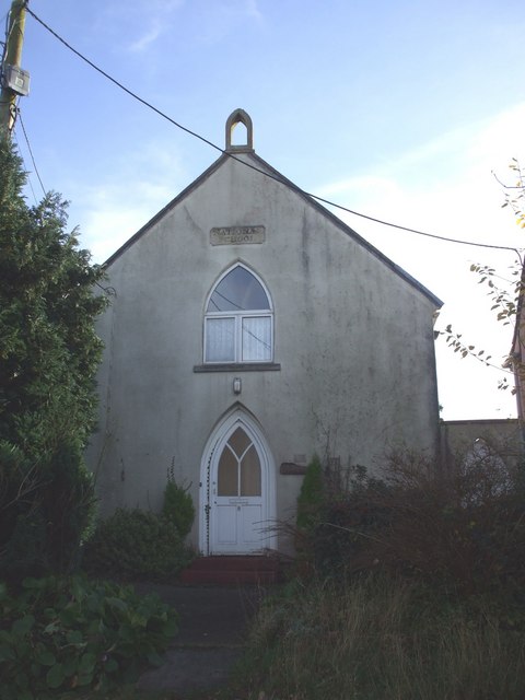
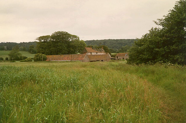
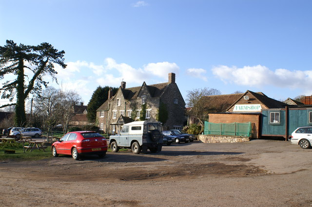
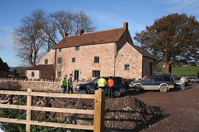
Bathing Pond Wood Images
Images are sourced within 2km of 51.428546/-2.7110408 or Grid Reference ST5070. Thanks to Geograph Open Source API. All images are credited.


Bathing Pond Wood is located at Grid Ref: ST5070 (Lat: 51.428546, Lng: -2.7110408)
Unitary Authority: North Somerset
Police Authority: Avon and Somerset
What 3 Words
///known.riots.patrol. Near Nailsea, Somerset
Nearby Locations
Related Wikis
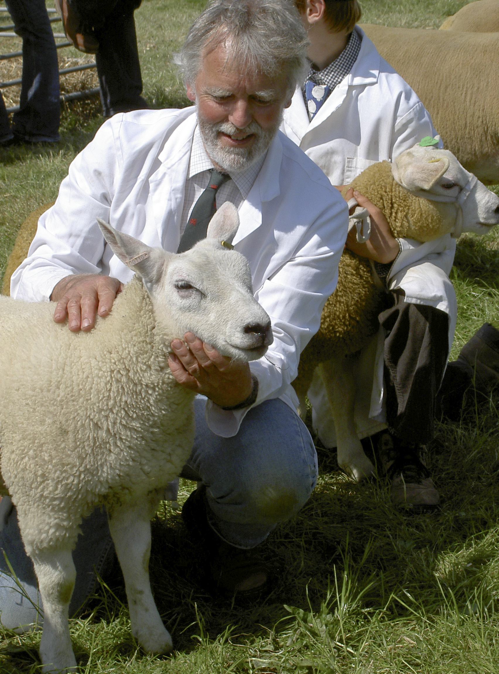
North Somerset Show
The North Somerset Show is an agricultural show held annually in May at Wraxall, North Somerset, England. It is organised by the North Somerset Agricultural...

Flax Bourton
Flax Bourton is a village and civil parish in Somerset, England. The parish, with a population of 715, is situated within the unitary authority of North...

Flax Bourton railway station
Flax Bourton railway station was a railway station on the Bristol to Exeter line, 5 miles 49 chains (9.03 km) from Bristol Temple Meads, serving the village...
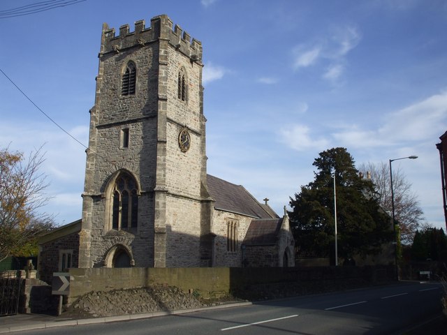
Church of St Michael and All Angels, Flax Bourton
The Anglican Church of St. Michael and All Angels in Flax Bourton in the English county of Somerset was built in the 12th century. It has been designated...
Nearby Amenities
Located within 500m of 51.428546,-2.7110408Have you been to Bathing Pond Wood?
Leave your review of Bathing Pond Wood below (or comments, questions and feedback).