Colpy
Settlement in Aberdeenshire
Scotland
Colpy
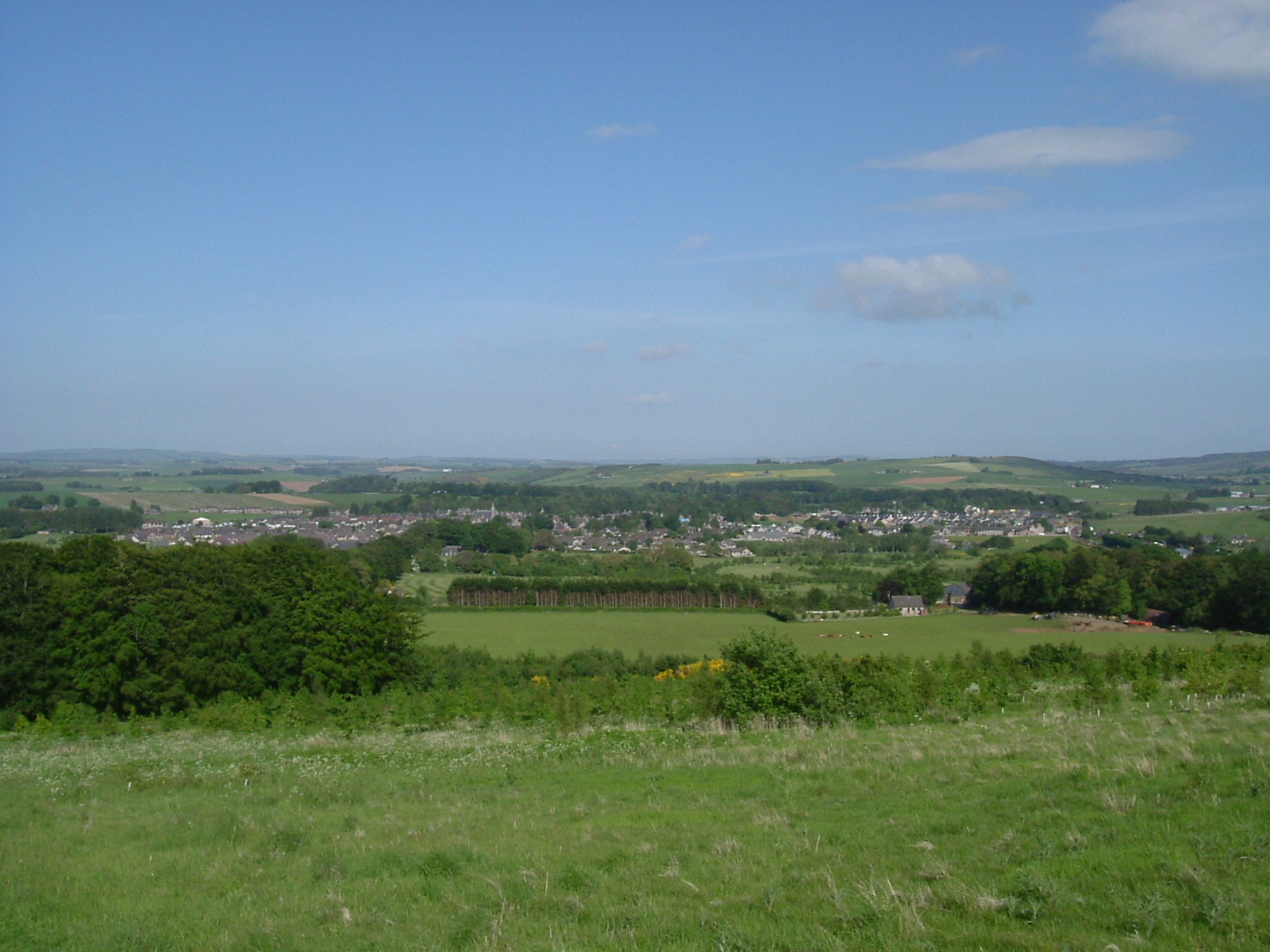
Colpy is a small village located in Aberdeenshire, Scotland. Situated approximately 36 miles northwest of Aberdeen, it lies in the scenic countryside of the Garioch area. With a population of around 350 residents, Colpy boasts a close-knit community that takes pride in its heritage and natural surroundings.
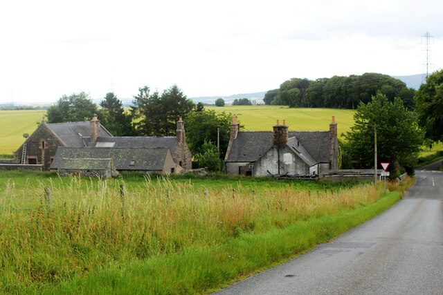
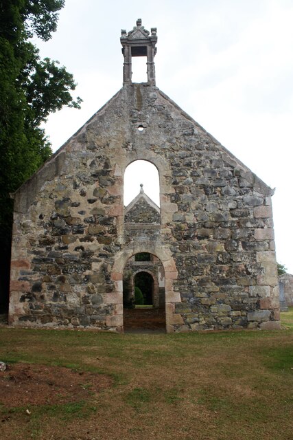
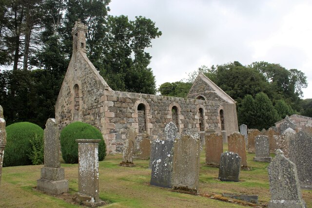
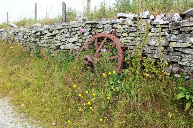
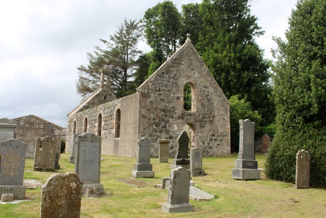
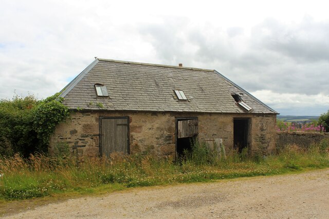
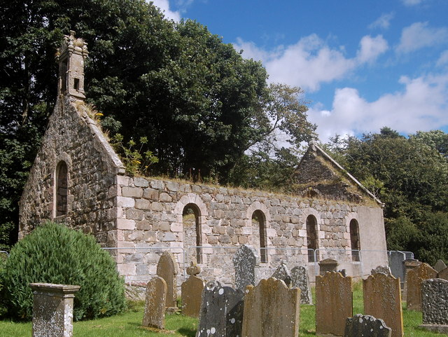
The village is characterized by its charming, traditional architecture, with many stone-built houses and cottages lining its streets. One of the notable landmarks is the St. John's Church, a beautiful 19th-century building that serves as a focal point for the community.
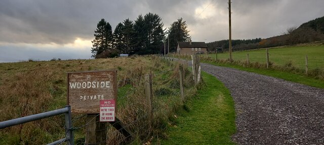
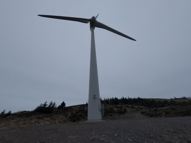
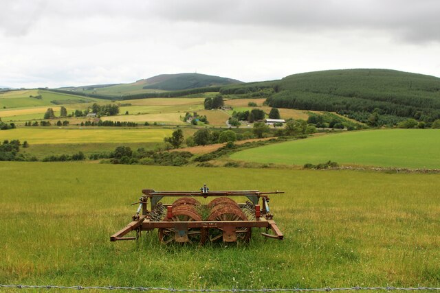
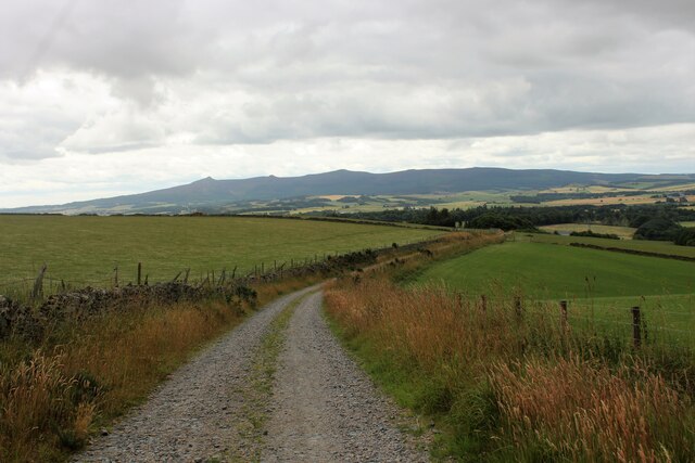
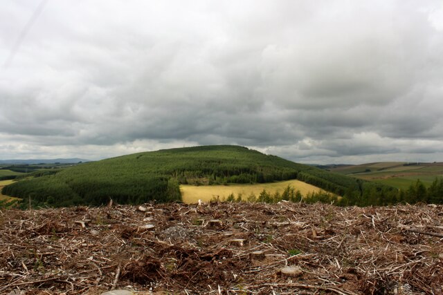
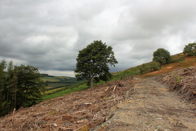
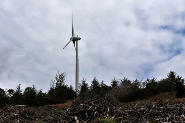
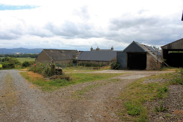
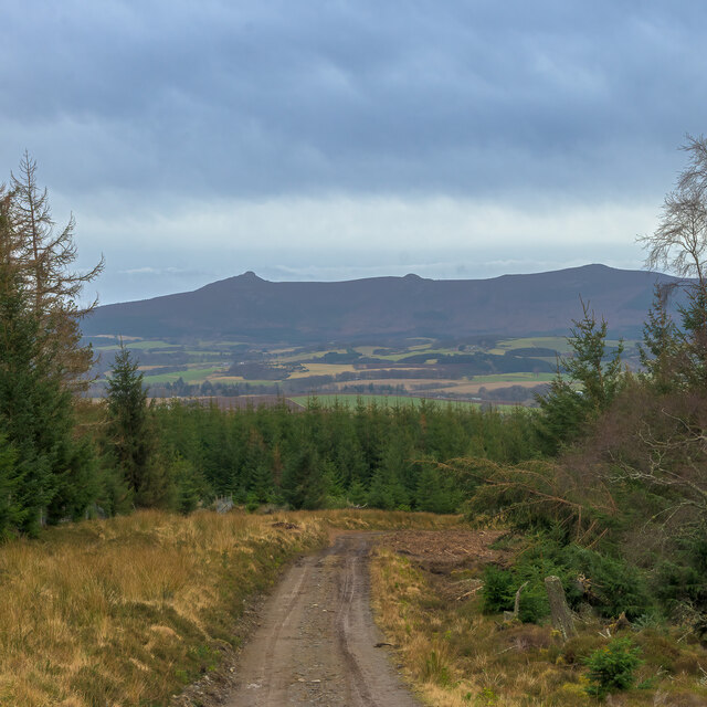
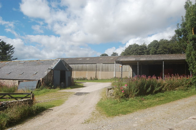
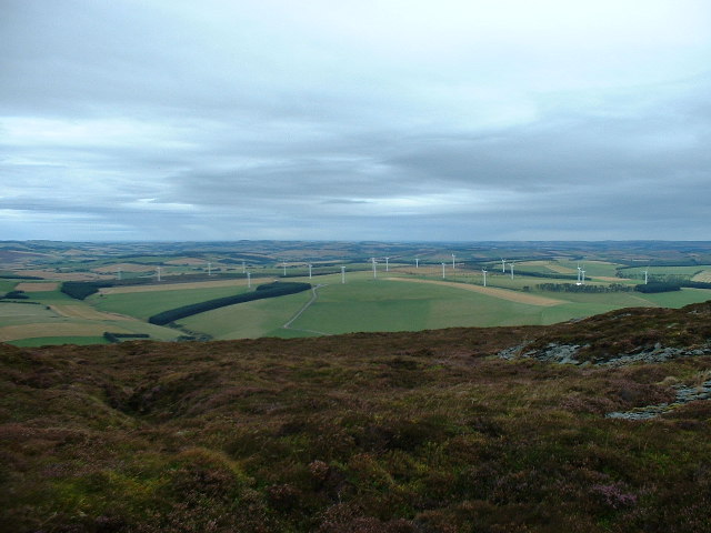
Colpy is surrounded by picturesque landscapes, offering panoramic views of rolling hills and lush green fields. The area is known for its agricultural activities, with farming playing a significant role in the local economy. The fertile land provides ideal conditions for growing crops and raising livestock.
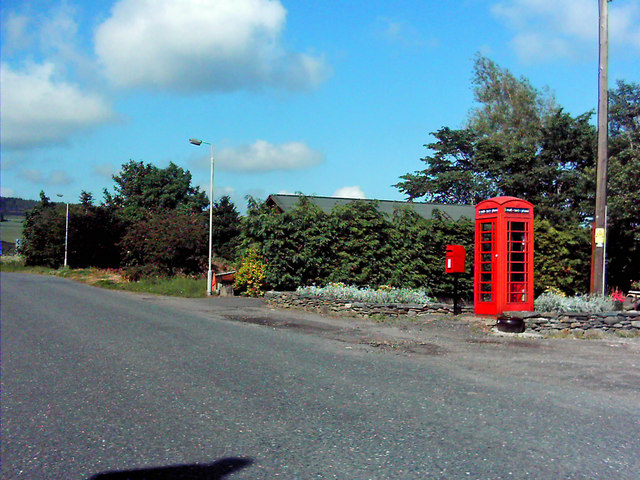
Despite its small size, Colpy offers a range of amenities for its residents and visitors. The village has a primary school, ensuring access to education for young children. Additionally, a community hall provides a venue for various events and gatherings, fostering a sense of community spirit within the village.
The village's location also offers easy access to nearby attractions. The bustling town of Inverurie is just a short drive away, where visitors can find a wider range of amenities, shops, and restaurants. Furthermore, the surrounding countryside provides opportunities for outdoor activities such as hiking, cycling, and fishing.
In summary, Colpy is a quaint village in Aberdeenshire, Scotland, known for its tight-knit community, picturesque landscapes, and traditional architecture.
If you have any feedback on the listing, please let us know in the comments section below.
Colpy Images
Images are sourced within 2km of 57.381276/-2.595985 or Grid Reference NJ6432. Thanks to Geograph Open Source API. All images are credited.
Colpy is located at Grid Ref: NJ6432 (Lat: 57.381276, Lng: -2.595985)
Unitary Authority: Aberdeenshire
Police Authority: North East
What 3 Words
///bucked.slogans.laminated. Near Insch, Aberdeenshire
Nearby Locations
Related Wikis
Colpy
Colpy is a hamlet in Aberdeenshire, Scotland, situated 3 miles (5 kilometres) north of Insch. == External links == Colpy in the Gazetteer for Scotland...

Culsalmond
Culsalmond was a 16th-century castle about 9.5 miles (15.3 km) south east of Huntly, Aberdeenshire, Scotland, near the river Ury. == History == The castle...
Freefield Castle
Freefield Castle was a castle, about 11.5 miles (18.5 km) north of Inverurie, Aberdeenshire, Scotland, and 1 mile (1.6 km) west of North Rayne.Alternatively...

Bonnyton, Aberdeenshire
Bonnyton is a rural area of Old Rayne in the Garioch area of Aberdeenshire, Scotland.Bonnyton is a small secluded hamlet comprising seven houses, at the...
Bainshole
Bainshole is a farm in Aberdeenshire, Scotland. == References ==
Insch
Insch (Scottish Gaelic: An Innis or Innis Mo Bheathain) is a village in the Garioch, Aberdeenshire, Scotland. It is located approximately 28 miles (45...
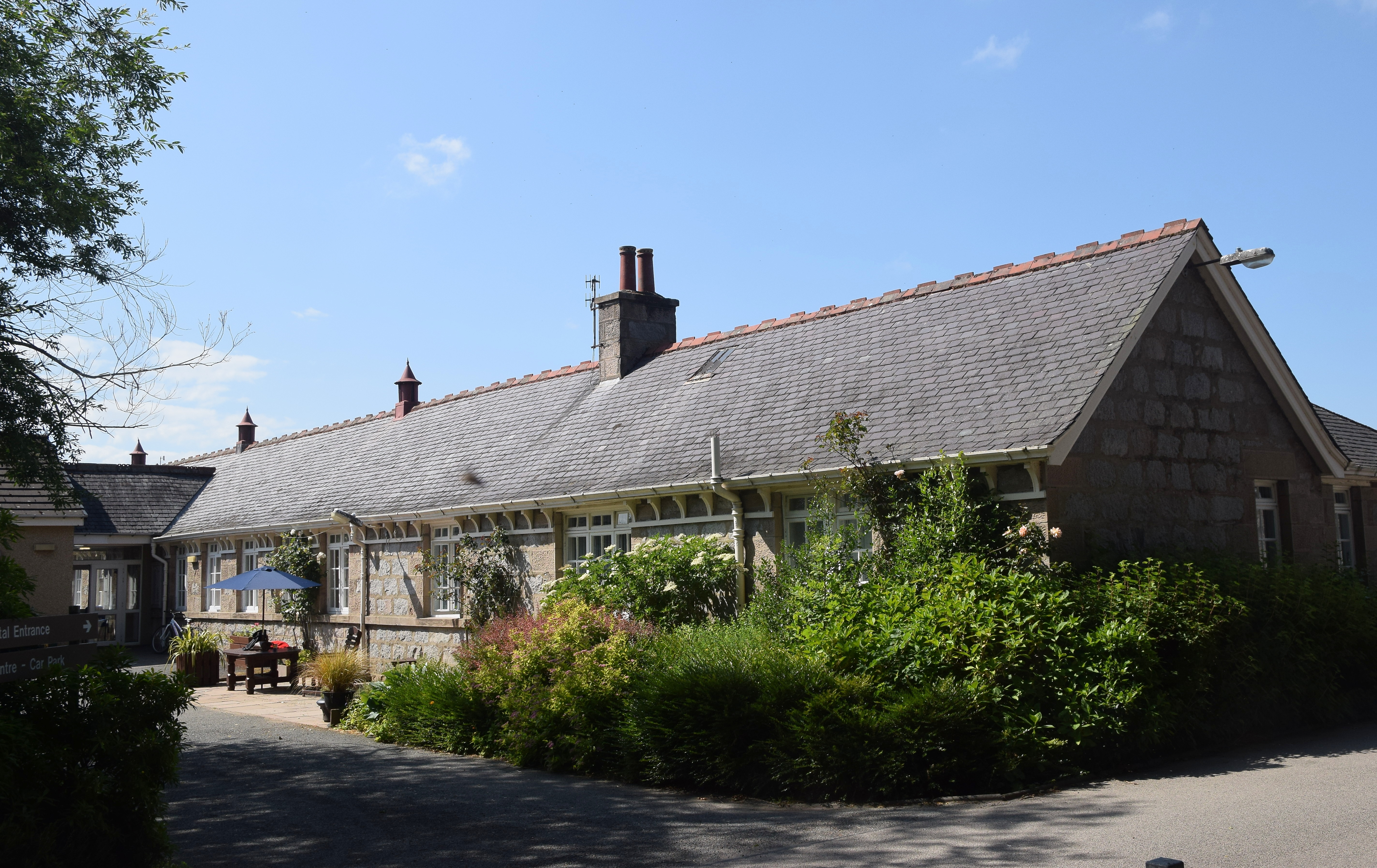
Insch War Memorial Hospital
Insch War Memorial Hospital is a small community hospital located at Insch, Aberdeenshire, Scotland. It is managed by NHS Grampian. == History == The hospital...

Insch railway station
Insch railway station is a railway station serving the village of Insch, Aberdeenshire, Scotland. The station is managed by ScotRail and is on the Aberdeen...
Nearby Amenities
Located within 500m of 57.381276,-2.595985Have you been to Colpy?
Leave your review of Colpy below (or comments, questions and feedback).