Ansdell's Wood

Wood, Forest in Lancashire

England

Ansdell's Wood

Sleet on Warrington Road Warrington Road
Sleet on Warrington Road Credit: Lauren

Ansdell's Wood is a picturesque woodland located in the county of Lancashire, England. Stretching across an area of approximately 50 acres, it is nestled within the rural village of Ansdell, near Lytham St Annes. The wood is a popular destination for nature enthusiasts and offers a tranquil escape from the bustling city life.

The woodland is predominantly made up of native deciduous trees such as oak, beech, and birch, which provide a stunning display of colors during the autumn months. The dense canopy created by these trees allows for a cool and shaded environment, perfect for a leisurely stroll on a sunny day.

Ansdell's Wood is home to a diverse range of wildlife, making it an ideal spot for birdwatching and nature photography. Visitors may spot species such as the great spotted woodpecker, tawny owl, and various songbirds. The wood also supports a variety of flora, including wildflowers, ferns, and mosses, adding to its natural beauty.

A network of well-maintained footpaths winds through the wood, offering visitors the opportunity to explore its enchanting surroundings. The paths are suitable for all ages and abilities, making it an inclusive destination for families and individuals alike.

In addition to its natural splendor, Ansdell's Wood also serves as an important educational resource. Local schools and environmental organizations often organize guided tours and nature walks, providing a hands-on learning experience for children and adults interested in the environment and conservation.

Overall, Ansdell's Wood is a charming woodland retreat, offering a peaceful and immersive experience in the heart of Lancashire's countryside. Whether one seeks solace in nature, desires to observe wildlife, or wishes to learn more about the local environment, this wood provides a delightful escape from the everyday hustle and bustle.

If you have any feedback on the listing, please let us know in the comments section below.

Ansdell's Wood Images

Images are sourced within 2km of 53.420257/-2.7451497 or Grid Reference SJ5091. Thanks to Geograph Open Source API. All images are credited.

Sleet on Warrington Road Warrington Road
Sleet on Warrington Road
Warrington Road
Doorway into Dream The back of the Dream sculpture by Jaume Plensa at Sutton Manor
Doorway into Dream
The back of the Dream sculpture by Jaume Plensa at Sutton Manor
Dream Sculpture By Jaume Plensa at Sutton Manor
Dream Sculpture
By Jaume Plensa at Sutton Manor
The Bull & Dog
The Bull & Dog
Lea Green Railway Station
Houses on Elton Head Road
Elton Head Road
Elton Head Road
Waste ground of Chapel Lane
Chapel Lane
Chapel Lane
St Helens Linkway (A570)
Entrance to St Bartholomew's Roman Catholic Church, Rainhill Stoops
St Bartholomew's Roman Catholic Church, Rainhill Stoops
The Ship Inn
The Ship Inn
Sign for the Ship Inn
Milestone beside Warrington Road (A57) Carved stone post by the A57, in parish of RAINHILL (ST HELENS District), Warrington Road; 50m West of junction with School Lane, in front of school, on East side of road. Prescot stone, erected by the Liverpool, Prescot, Ashton & Warrington turnpike trust in the 19th century.

Inscription reads:-
: TO / WARRINGTON / VII / MILES : : TO PRESCOT / III / MILES / TO / LIVERPOOL / XI / MILES :


Milestone Society National ID: LA_WALV07.

See <a href="https://www.geograph.org.uk/photo/7439284">SJ5090 : Milestone and bus stop on Warrington Road (A57)</a> for context.
Milestone beside Warrington Road (A57)
Carved stone post by the A57, in parish of RAINHILL (ST HELENS District), Warrington Road; 50m West of junction with School Lane, in front of school, on East side of road. Prescot stone, erected by the Liverpool, Prescot, Ashton & Warrington turnpike trust in the 19th century. Inscription reads:- : TO / WARRINGTON / VII / MILES : : TO PRESCOT / III / MILES / TO / LIVERPOOL / XI / MILES : Milestone Society National ID: LA_WALV07. See SJ5090 : Milestone and bus stop on Warrington Road (A57) for context.
Milestone and bus stop on Warrington Road (A57)
Dream This 20m tall sculpture by Jaume Plensa is located on the old Sutton Manor Colliery site. The structure is coated in sparkling white Spanish dolomite, as a contrast to the coal which used to be mined here.
Dream
This 20m tall sculpture by Jaume Plensa is located on the old Sutton Manor Colliery site. The structure is coated in sparkling white Spanish dolomite, as a contrast to the coal which used to be mined here.
Show me another place!

Ansdell's Wood is located at Grid Ref: SJ5091 (Lat: 53.420257, Lng: -2.7451497)

Unitary Authority: St. Helens

Police Authority: Merseyside

What 3 Words

///liver.richest.unstated. Near Whiston, Merseyside

Nearby Locations

Ansdell's Wood

Related Wikis

Rainhill Hall

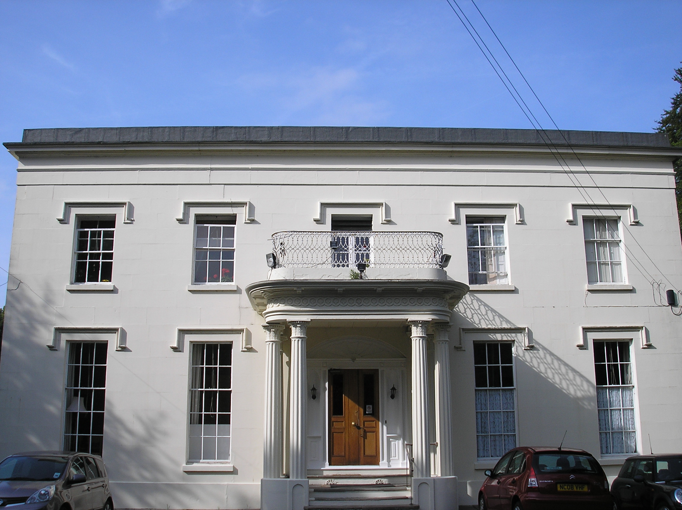
Rainhill Hall or Loyola Hall is a Grade II listed country house built in the 19th century in Rainhill, Merseyside, England, by Bartholomew Bretherton....

Rainhill

Rainhill is a village and civil parish in the Metropolitan Borough of St Helens, Merseyside, England. The population at the 2011 census was 10,853.Historically...

The Sutton Academy

The Sutton Academy (formerly Sutton High Sports College and originally known as Sutton High School) is a secondary school in the Sutton area of St. Helens...

Rainhill High School

Rainhill High School is a coeducational secondary school and sixth form located in Rainhill, Merseyside, England. The school is the official Liverpool...

Nearby Amenities

Located within 500m of 53.420257,-2.7451497
Lea Green
Is In: St Helens, Merseyside, England, UK
Place: suburb
Source: npe
Lat/Long: 53.4229237/-2.7403292
Power: tower
Lat/Long: 53.4207285/-2.7392955
Power: tower
Lat/Long: 53.4176281/-2.7462881
Power: tower
Lat/Long: 53.4222196/-2.7388001
Power: tower
Lat/Long: 53.4200732/-2.7503307
Power: tower
Lat/Long: 53.4221725/-2.7407664
Power: tower
Lat/Long: 53.4212956/-2.7442711
Crossing
Crossing: unmarked
Crossing Markings: no
Lat/Long: 53.4172683/-2.7456701
Parking
Lat/Long: 53.4172898/-2.7439654
Crossing
Crossing: unmarked
Crossing Markings: no
Lat/Long: 53.417268/-2.745456
Bus Stop
Lowfield Lane
Bus: yes
Naptan AtcoCode: 2800S13083A
Naptan Bearing: SE
Naptan CommonName: Lowfield Lane
Naptan Indicator: Lowfield Lane
Naptan Landmark: Opp Suttons International
Naptan NaptanCode: meragawm
Naptan Notes: No Notes
Naptan ShortCommonName: Lowfield Ln
Naptan Street: Lowfield Lane
Naptan Verified: no
Public Transport: platform
Source: naptan_import
Lat/Long: 53.4244188/-2.7442141
Micklehead Green
Place: suburb
Lat/Long: 53.4163312/-2.7434789
Graham Martin
Shop: car_repair
Lat/Long: 53.4181942/-2.7437787
Power: tower
Lat/Long: 53.4190928/-2.7429964
Power: transformer
Voltage-high: 275000
Lat/Long: 53.4212145/-2.7385726
Power: transformer
Voltage-high: 275000
Lat/Long: 53.421534/-2.7384868
Power: transformer
Voltage-high: 275000
Lat/Long: 53.4209298/-2.7386531
Power: transformer
Voltage-high: 275000
Lat/Long: 53.4217897/-2.7383742
Barrier: lift_gate
Lat/Long: 53.4181073/-2.7428249
Access: customers
Door: shutter
Entrance: service
Level: 0
Lat/Long: 53.4190967/-2.7441806
Access: yes
Door: hinged
Entrance: main
Level: 0
Wheelchair: limited
Lat/Long: 53.4194474/-2.7431449
Access: customers
Door: hinged
Entrance: shop
Wheelchair: limited
Lat/Long: 53.4194032/-2.7432196
Access: customers
Door: hinged
Entrance: shop
Lat/Long: 53.4193526/-2.7433064
Access: customers
Addr City: St Helens
Addr Housename: Unit 18 Lea Green Business Park
Addr Postcode: WA9 4TR
Addr Street: Eurolink
Door: hinged
Entrance: shop
Level: 0
Wheelchair: limited
Lat/Long: 53.4192064/-2.743552
Access: yes
Door: hinged
Entrance: office
Wheelchair: limited
Lat/Long: 53.4190631/-2.7437942
Mutant Dice Games
Addr City: St Helens
Addr Housename: Unit 18 Lea Green Business Park
Addr Postcode: WA9 4TR
Addr Street: Eurolink
Email: enquiries@mutantdicegames.co.uk
Opening Hours: Fr-Tu 09:00-17:30
Payment Cash: yes
Payment Contactless: yes
Payment Credit Cards: yes
Phone: +44 1744302829
Shop: games
Website: https://mutantdicegames.co.uk
Lat/Long: 53.419223/-2.7435864
Entrance: yes
Lat/Long: 53.418476/-2.7423182
Entrance: yes
Lat/Long: 53.4178199/-2.7450027
Entrance: yes
Lat/Long: 53.4175454/-2.744804
Crossing
Crossing: unmarked
Crossing Island: no
Tactile Paving: yes
Lat/Long: 53.4240271/-2.7434067
Information: guidepost
Tourism: information
Lat/Long: 53.4240854/-2.7436774
Information: route_marker
Tourism: information
Lat/Long: 53.418291/-2.7510908
Access: customers
Door: shutter
Entrance: service
Lat/Long: 53.4196488/-2.7432625
Access: customers
Door: hinged
Entrance: exit
Level: 0
Wheelchair: limited
Lat/Long: 53.4191869/-2.7435862
The data included in this document is from www.openstreetmap.org. The data is made available under ODbL.

Have you been to Ansdell's Wood?

Leave your review of Ansdell's Wood below (or comments, questions and feedback).