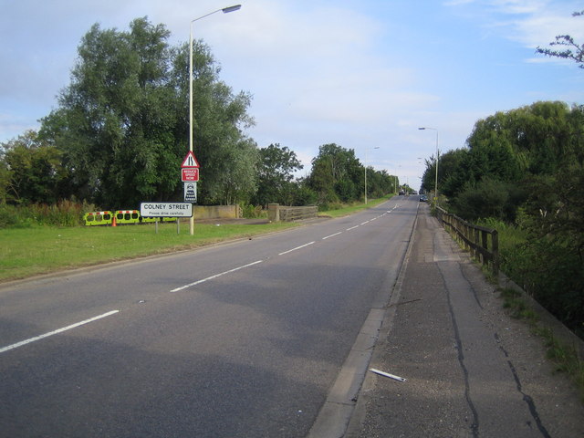
Colney Street

Settlement in Hertfordshire St. Albans

England

Colney Street

Low bridge over River Ver
Low bridge over River Ver Credit: don cload

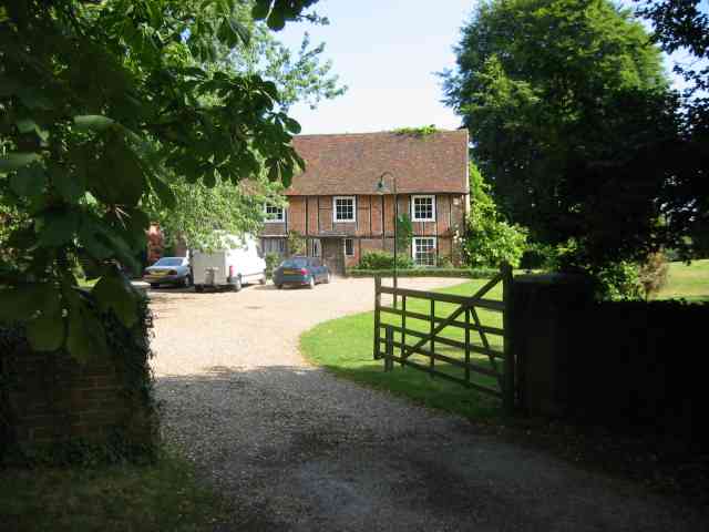
Colney Street is a small village located in the county of Hertfordshire, England. Situated approximately 3 miles south of St Albans, it falls within the district of St Albans and the civil parish of St Stephen. The village is nestled amidst picturesque countryside, offering a peaceful and rural atmosphere.

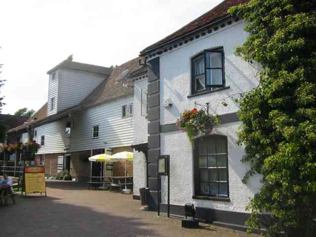
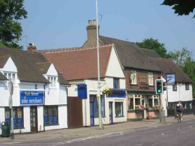
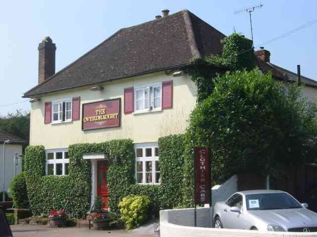
Colney Street is primarily a residential area, characterized by a mix of traditional cottages and modern houses. The village has a close-knit community and a friendly ambiance, making it an ideal place for families and individuals seeking a tranquil lifestyle. The village is well-served by local amenities, including a post office, convenience stores, and a pub, catering to the daily needs of its residents.

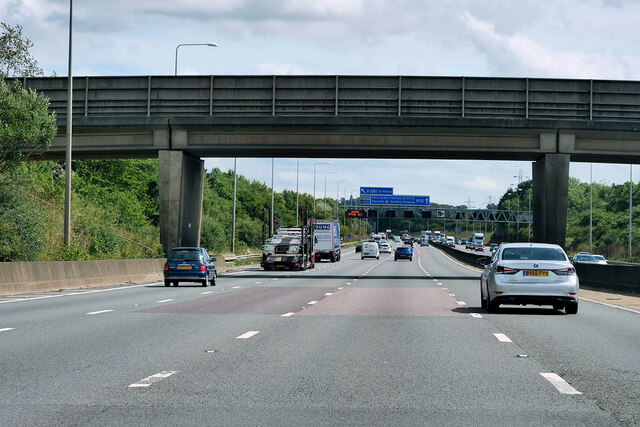
The village benefits from its proximity to major road networks, with the M25 motorway and the A414 trunk road both easily accessible. This convenient location allows for easy commuting to nearby towns and cities such as London and Watford. Additionally, the village is served by regular bus services, providing further connectivity to surrounding areas.

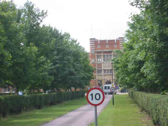
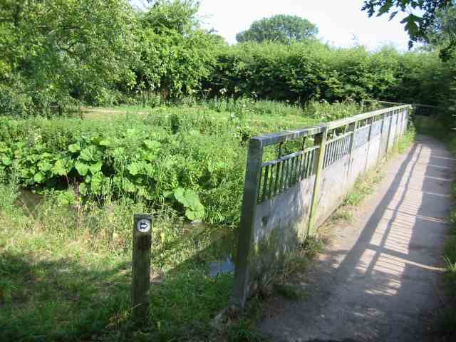
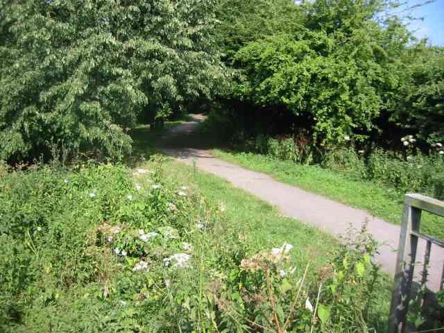
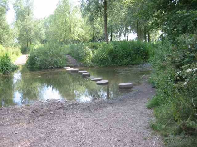
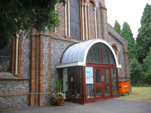
Colney Street enjoys a rich history, with several historic buildings and landmarks scattered throughout the area. St Stephen's Church, a Grade II listed building dating back to the 12th century, stands as a testament to the village's heritage. The village also boasts beautiful natural surroundings, with numerous walking and cycling trails, providing opportunities for outdoor activities and exploration.

Overall, Colney Street offers a charming and peaceful village lifestyle, combined with convenient access to amenities and transportation links. Its idyllic setting and strong sense of community make it an attractive place to live for those seeking a quintessential English village experience.

If you have any feedback on the listing, please let us know in the comments section below.

Colney Street Images

Images are sourced within 2km of 51.706958/-0.32937508 or Grid Reference TL1502. Thanks to Geograph Open Source API. All images are credited.

Low bridge over River Ver
Path around Island Pit
Premier Inn St. Albans/Bricket Wood
Bridge over the M25 near to Colney Street Officially named the London Orbital and frequently derided as nothing more than a very big car park, the M25 is a 117-mile orbital motorway that encircles London; one of the world's biggest ring roads (Europe's second longest orbital road after the Berliner Ring, which is 122 miles). It is not, however, a continuous loop of motorway as the Dartford Crossing section (comprising the Dartford Tunnels and the Queen Elizabeth II Bridge) over the Thames and its approach roads are designated as the A282. 

Constructed between 1975 and 1986, the M25 is reputedly the most expensive motorway Britain ever built, costing a total of £909m or roughly £7.5m per mile, but at the time of its planning, the demand for the road was considerably underestimated so that when it was finally completed in 1986, it was already out of date. Demand outstripped capacity within a few years and ever since then it's been very heavily congested. 

The M25 is one of the UK’s busiest motorways, carrying up to 200,000 vehicles and 10,000 HGVs per day (AADT - Annual Average Daily Traffic flow) on the section near to Heathrow Airport. Since its opening in the 1980s, the southern, western and eastern sections have been widened to largely dual four lane (D4M) standard, but much of the motorway retains its dual three lane road (D3M) cross-section as originally built. 

The M25 was home to England's first Variable Speed Limits on motorways between the A3 and M4 in the early 1990s.

<span class="nowrap"><a title="http://www.cbrd.co.uk/motorway/m25/" rel="nofollow ugc noopener" href="http://www.cbrd.co.uk/motorway/m25/">Link</a><img style="margin-left:2px;" alt="External link" title="External link - shift click to open in new window" src="https://s1.geograph.org.uk/img/external.png" width="10" height="10"/></span>  cbrd
<span class="nowrap"><a title="http://www.sabre-roads.org.uk/wiki/index.php?title=M25" rel="nofollow ugc noopener" href="http://www.sabre-roads.org.uk/wiki/index.php?title=M25">Link</a><img style="margin-left:2px;" alt="External link" title="External link - shift click to open in new window" src="https://s1.geograph.org.uk/img/external.png" width="10" height="10"/></span>  SABRE
Bridge over the M25 near to Colney Street
Officially named the London Orbital and frequently derided as nothing more than a very big car park, the M25 is a 117-mile orbital motorway that encircles London; one of the world's biggest ring roads (Europe's second longest orbital road after the Berliner Ring, which is 122 miles). It is not, however, a continuous loop of motorway as the Dartford Crossing section (comprising the Dartford Tunnels and the Queen Elizabeth II Bridge) over the Thames and its approach roads are designated as the A282. Constructed between 1975 and 1986, the M25 is reputedly the most expensive motorway Britain ever built, costing a total of £909m or roughly £7.5m per mile, but at the time of its planning, the demand for the road was considerably underestimated so that when it was finally completed in 1986, it was already out of date. Demand outstripped capacity within a few years and ever since then it's been very heavily congested. The M25 is one of the UK’s busiest motorways, carrying up to 200,000 vehicles and 10,000 HGVs per day (AADT - Annual Average Daily Traffic flow) on the section near to Heathrow Airport. Since its opening in the 1980s, the southern, western and eastern sections have been widened to largely dual four lane (D4M) standard, but much of the motorway retains its dual three lane road (D3M) cross-section as originally built. The M25 was home to England's first Variable Speed Limits on motorways between the A3 and M4 in the early 1990s. LinkExternal link cbrd LinkExternal link SABRE
Footbridge over the Clockwise M25 Officially named the London Orbital and frequently derided as nothing more than a very big car park, the M25 is a 117-mile orbital motorway that encircles London; one of the world's biggest ring roads (Europe's second longest orbital road after the Berliner Ring, which is 122 miles). It is not, however, a continuous loop of motorway as the Dartford Crossing section (comprising the Dartford Tunnels and the Queen Elizabeth II Bridge) over the Thames and its approach roads are designated as the A282. 

Constructed between 1975 and 1986, the M25 is reputedly the most expensive motorway Britain ever built, costing a total of £909m or roughly £7.5m per mile, but at the time of its planning, the demand for the road was considerably underestimated so that when it was finally completed in 1986, it was already out of date. Demand outstripped capacity within a few years and ever since then it's been very heavily congested. 

The M25 is one of the UK’s busiest motorways, carrying up to 200,000 vehicles and 10,000 HGVs per day (AADT - Annual Average Daily Traffic flow) on the section near to Heathrow Airport. Since its opening in the 1980s, the southern, western and eastern sections have been widened to largely dual four lane (D4M) standard, but much of the motorway retains its dual three lane road (D3M) cross-section as originally built. 

The M25 was home to England's first Variable Speed Limits on motorways between the A3 and M4 in the early 1990s.

<span class="nowrap"><a title="http://www.cbrd.co.uk/motorway/m25/" rel="nofollow ugc noopener" href="http://www.cbrd.co.uk/motorway/m25/">Link</a><img style="margin-left:2px;" alt="External link" title="External link - shift click to open in new window" src="https://s1.geograph.org.uk/img/external.png" width="10" height="10"/></span>  cbrd
<span class="nowrap"><a title="http://www.sabre-roads.org.uk/wiki/index.php?title=M25" rel="nofollow ugc noopener" href="http://www.sabre-roads.org.uk/wiki/index.php?title=M25">Link</a><img style="margin-left:2px;" alt="External link" title="External link - shift click to open in new window" src="https://s1.geograph.org.uk/img/external.png" width="10" height="10"/></span>  SABRE
Footbridge over the Clockwise M25
Officially named the London Orbital and frequently derided as nothing more than a very big car park, the M25 is a 117-mile orbital motorway that encircles London; one of the world's biggest ring roads (Europe's second longest orbital road after the Berliner Ring, which is 122 miles). It is not, however, a continuous loop of motorway as the Dartford Crossing section (comprising the Dartford Tunnels and the Queen Elizabeth II Bridge) over the Thames and its approach roads are designated as the A282. Constructed between 1975 and 1986, the M25 is reputedly the most expensive motorway Britain ever built, costing a total of £909m or roughly £7.5m per mile, but at the time of its planning, the demand for the road was considerably underestimated so that when it was finally completed in 1986, it was already out of date. Demand outstripped capacity within a few years and ever since then it's been very heavily congested. The M25 is one of the UK’s busiest motorways, carrying up to 200,000 vehicles and 10,000 HGVs per day (AADT - Annual Average Daily Traffic flow) on the section near to Heathrow Airport. Since its opening in the 1980s, the southern, western and eastern sections have been widened to largely dual four lane (D4M) standard, but much of the motorway retains its dual three lane road (D3M) cross-section as originally built. The M25 was home to England's first Variable Speed Limits on motorways between the A3 and M4 in the early 1990s. LinkExternal link cbrd LinkExternal link SABRE
Pastoral Centre  Broad Colney The complex was once a convent, built in 1899 for an Anglican order. It was sold to the Roman Catholic Diocese of Westminster in the mid-1970s and became a Retreat/Conference/Training Centre with residential accommodation.
Pastoral Centre Broad Colney
The complex was once a convent, built in 1899 for an Anglican order. It was sold to the Roman Catholic Diocese of Westminster in the mid-1970s and became a Retreat/Conference/Training Centre with residential accommodation.
Footbridge at Ver Walk Drop Lane The walk follows the River Ver northwards from this bridge. The boards are to prevent horses slipping and trapping their legs.
Footbridge at Ver Walk Drop Lane
The walk follows the River Ver northwards from this bridge. The boards are to prevent horses slipping and trapping their legs.
Walk by the River Ver in Drop Lane. For almost its whole length the walk is well shaded
by mature trees.
Walk by the River Ver in Drop Lane.
For almost its whole length the walk is well shaded by mature trees.
The Hansteads in Drop Lane Smug Oak.
Moor Mill Inn  Frogmore The Mill was converted into a pub and hotel and the gardens have several streams and a weir for atmosphere
Moor Mill Inn Frogmore
The Mill was converted into a pub and hotel and the gardens have several streams and a weir for atmosphere
Conversion of Pub to Offices  Frogmore This is an unusual reversal but at least the appearance was retained.
Conversion of Pub to Offices Frogmore
This is an unusual reversal but at least the appearance was retained.
Stepping stones across the River Ver  Drop Lane. The environment agency and others won't allow replacement of the missing stones. {Might cause a blockage of twigs } so walkers have to wade. OK for horse riders
Stepping stones across the River Ver Drop Lane.
The environment agency and others won't allow replacement of the missing stones. {Might cause a blockage of twigs } so walkers have to wade. OK for horse riders
The Falcon Pub in Park Street, Herts This pub is at the centre of the village
The Falcon Pub in Park Street, Herts
This pub is at the centre of the village
The Overdraught Pub,  Park Street, Herts Is that a pun or is that a howler?
The Overdraught Pub, Park Street, Herts
Is that a pun or is that a howler?
Harperbury Hospital  Herts This was a mental hospital complex but has now been run down to ancillary projects
Harperbury Hospital Herts
This was a mental hospital complex but has now been run down to ancillary projects
Napsbury Hospital London Colney This is now a housing development called the Arboretum  Expensive prices.
Napsbury Hospital London Colney
This is now a housing development called the Arboretum Expensive prices.
Smug Oak Stables
Smug Oak Stables
Holy Trinity Church Frogmore Not sure I agree with the sentiment expressed
Holy Trinity Church Frogmore
Not sure I agree with the sentiment expressed
Show me another place!

Colney Street is located at Grid Ref: TL1502 (Lat: 51.706958, Lng: -0.32937508)

Administrative County: Hertfordshire

District: St. Albans

Police Authority: Hertfordshire

What 3 Words

///bleat.trying.poppy. Near Radlett, Hertfordshire

Nearby Locations

Colney Street

Related Wikis

Colney Street

Colney Street is a hamlet in the English county of Hertfordshire. It lies on the A5183 road, this was formerly the A5 road and, before that, Roman Britain...
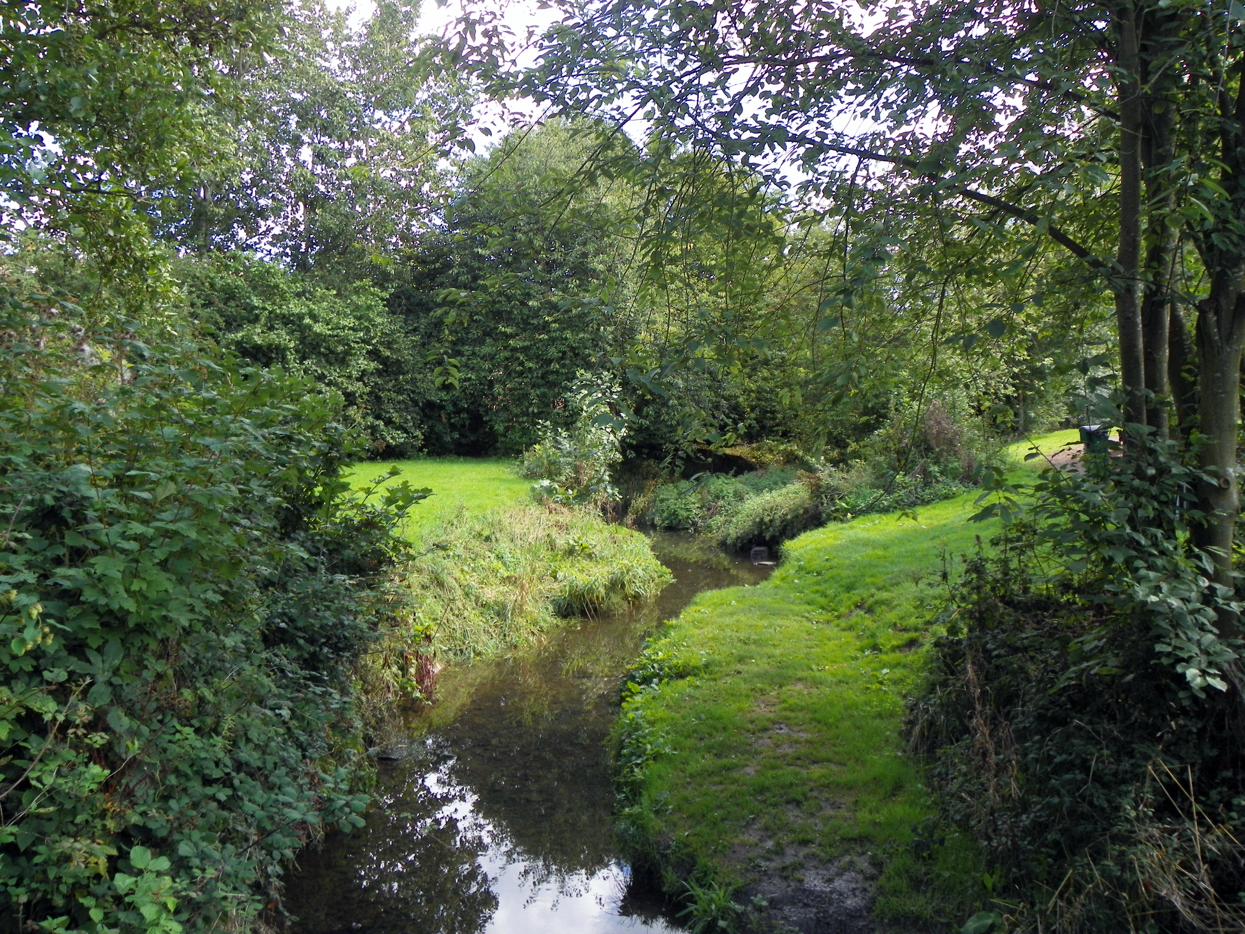
Tykes Water

Tykes Water is a minor tributary of the River Colne in Hertfordshire in England. Its head waters are a network of drainage ditches west of the A41 near...

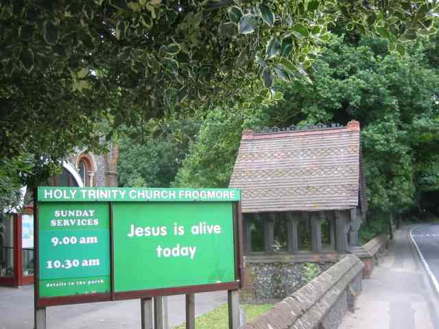
Frogmore, Hertfordshire

Frogmore is a village 3 miles (4.8 km) north of Radlett in Hertfordshire, and 2 miles (3.2 km) south of St Albans city centre (though in said city's contiguous...

Hanstead Stud

The Hanstead Stud was a breeding farm in England for Arabian horses. It was active from 1928 to 1957, and its animals had a significant impact in many...

Nearby Amenities

Located within 500m of 51.706958,-0.32937508
Traffic Calming: island
Lat/Long: 51.7096839/-0.3313109
Bus Stop
Old Parkbury Lane
Bus: yes
Naptan AtcoCode: 210021504020
Naptan Bearing: SE
Naptan CommonName: Old Parkbury Lane
Naptan Crossing: opp Frogmore Lodge
Naptan Indicator: nr
Naptan Landmark: opp Frogmore Lodge
Naptan NaptanCode: hrtawmwp
Naptan PlusbusZoneRef: RADLETT;STALBCY
Naptan ShortCommonName: NA
Naptan Street: Radlett Road
Naptan Verified: no
Public Transport: platform
Shelter: yes
Source: naptan_import
Lat/Long: 51.7076662/-0.3301696
Bus Stop
Old Parkbury Lane
Bin: yes
Bus: yes
Naptan AtcoCode: 210021507720
Naptan Bearing: NW
Naptan CommonName: Old Parkbury Lane
Naptan Crossing: Frogmore Lodge
Naptan Indicator: opp
Naptan Landmark: Frogmore Lodge
Naptan NaptanCode: hrtawagj
Naptan PlusbusZoneRef: RADLETT;STALBCY
Naptan ShortCommonName: NA
Naptan Street: Radlett Road
Naptan Verified: no
Public Transport: platform
Shelter: yes
Source: naptan_import
Lat/Long: 51.7080255/-0.3305213
Street Lamp
Lamp Model: Schréder Sapphire 2
Lamp Type: SON
Source: Mapillary (2019-02-16)
Lat/Long: 51.7109986/-0.326585
Street Lamp
Lamp Model: Schréder Sapphire 2
Lamp Type: SON
Source: Mapillary (2019-02-16)
Lat/Long: 51.711281/-0.3274566
Street Lamp
Lamp Model: Schréder Sapphire 2
Lamp Type: SON
Source: Mapillary (2019-02-16)
Lat/Long: 51.7111753/-0.3281389
Street Lamp
Lamp Model: Schréder Sapphire 2
Lamp Type: SON
Source: Mapillary (2019-02-16)
Lat/Long: 51.7107783/-0.327935
Street Lamp
Lamp Model: Schréder Sapphire 2
Lamp Type: SON
Source: Mapillary (2019-02-16)
Lat/Long: 51.7108968/-0.3272569
Street Lamp
Lamp Model: Schréder Sapphire 2
Lamp Type: SON
Source: Mapillary (2019-02-16)
Lat/Long: 51.7109355/-0.3294869
Street Lamp
Lamp Model: Schréder Sapphire 2
Lamp Type: SON
Source: Mapillary (2019-02-16)
Lat/Long: 51.7110515/-0.3288295
Street Lamp
Lamp Model: Schréder Sapphire 2
Lamp Type: SON
Source: Mapillary (2019-02-16)
Lat/Long: 51.7106545/-0.3286048
Street Lamp
Lamp Model: Schréder Sapphire 2
Lamp Type: SON
Source: Mapillary (2019-02-16)
Lat/Long: 51.7105411/-0.3292913
Street Lamp
Lamp Model: Schréder Sapphire 2
Lamp Type: SON
Source: Mapillary (2019-02-16)
Lat/Long: 51.7108169/-0.3301692
Street Lamp
Lamp Model: Schréder Sapphire 2
Lamp Type: SON
Source: Mapillary (2019-02-16)
Lat/Long: 51.7104044/-0.3299861
Street Lamp
Lamp Model: Schréder Sapphire 2
Lamp Type: SON
Source: Mapillary (2019-02-16)
Lat/Long: 51.7103091/-0.3306144
Street Lamp
Lamp Model: Schréder Sapphire 2
Lamp Type: SON
Source: Mapillary (2019-02-16)
Lat/Long: 51.7106983/-0.3308349
Street Lamp
Lamp Model: Schréder Sapphire 2
Lamp Type: SON
Source: Mapillary (2019-02-16)
Lat/Long: 51.7105643/-0.3315005
Street Lamp
Lamp Model: Schréder Sapphire 2
Lamp Type: SON
Source: Mapillary (2019-02-16)
Lat/Long: 51.7102085/-0.3312717
Street Lamp
Lamp Model: Schréder Sapphire 2
Lamp Type: SON
Source: Mapillary (2019-02-16)
Lat/Long: 51.7104205/-0.3321513
Street Lamp
Lamp Model: Schréder Sapphire 2
Lamp Type: SON
Source: Mapillary (2019-02-16)
Lat/Long: 51.7098885/-0.3333289
Street Lamp
Lamp Model: Schréder Sapphire 2
Lamp Type: SON
Source: Mapillary (2019-02-16)
Lat/Long: 51.7101064/-0.3319501
Street Lamp
Lamp Model: Schréder Sapphire 2
Lamp Type: SON
Source: Mapillary (2019-02-16)
Lat/Long: 51.710241/-0.3335513
Street Lamp
Lamp Model: Schréder Sapphire 2
Lamp Type: SON
Source: Mapillary (2019-02-16)
Lat/Long: 51.7103356/-0.3328783
Street Lamp
Lamp Model: Schréder Sapphire 2
Lamp Type: SON
Source: Mapillary (2019-02-16)
Lat/Long: 51.7099832/-0.3326449
Noexit: yes
Lat/Long: 51.704991/-0.3285142
Phone
Emergency: phone
Operator: National Highways
Operator Wikidata: Q5760006
Lat/Long: 51.7099098/-0.3331786
Traffic Sign: variable_message
Variable Message Model: MS2
Lat/Long: 51.7109797/-0.3268772
Traffic Sign: variable_message
Variable Message Model: AMI
Lat/Long: 51.7110235/-0.3268963
Traffic Sign: variable_message
Variable Message Model: AMI
Lat/Long: 51.7110503/-0.3269079
Traffic Sign: variable_message
Variable Message Model: AMI
Lat/Long: 51.7110867/-0.3269238
Traffic Sign: variable_message
Variable Message Model: AMI
Lat/Long: 51.7111148/-0.326936
Phone
Emergency: phone
Operator: National Highways
Operator Wikidata: Q5760006
Lat/Long: 51.710698/-0.3283265
Traffic Sign: variable_message
Variable Message Model: AMI
Lat/Long: 51.7111854/-0.3269667
Phone
Emergency: phone
Operator: National Highways
Operator Wikidata: Q5760006
Lat/Long: 51.7111168/-0.3283761
Traffic Calming: island
Lat/Long: 51.7071629/-0.3300042
Crossing
Crossing: unmarked
Tactile Paving: yes
Lat/Long: 51.7044028/-0.3283454
Crossing
Crossing: unmarked
Tactile Paving: yes
Lat/Long: 51.7044783/-0.3283892
Traffic Calming: hump
Lat/Long: 51.7044829/-0.3281132
Street Lamp
Lat/Long: 51.709677/-0.3347424
Street Lamp
Lat/Long: 51.7097702/-0.3340346
Street Lamp
Lat/Long: 51.7101441/-0.3342346
Power: pole
Lat/Long: 51.703693/-0.3252071
Give Way
Lat/Long: 51.7068783/-0.3297666
The data included in this document is from www.openstreetmap.org. The data is made available under ODbL.

Have you been to Colney Street?

Leave your review of Colney Street below (or comments, questions and feedback).