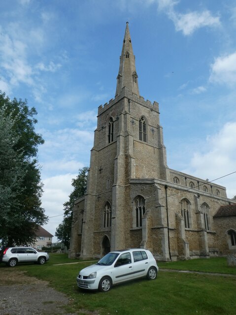
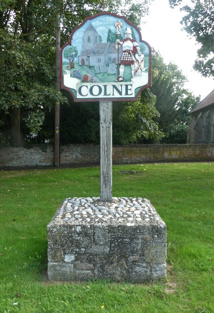
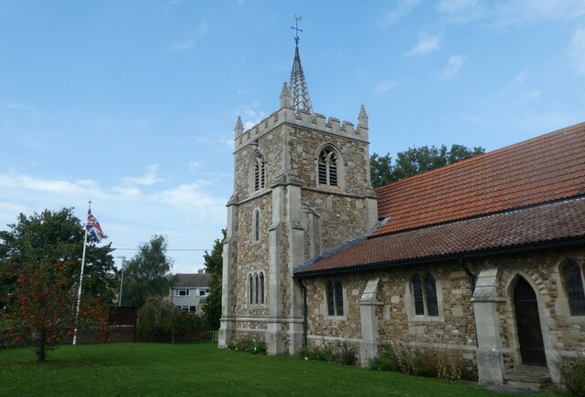
Colne

Settlement in Huntingdonshire Huntingdonshire

England

Colne

St Mary, Bluntisham: late September 2021
St Mary, Bluntisham: late September 2021 Credit: Basher Eyre

The requested URL returned error: 429 Too Many Requests

If you have any feedback on the listing, please let us know in the comments section below.
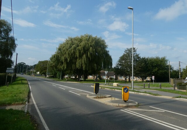
Colne Images

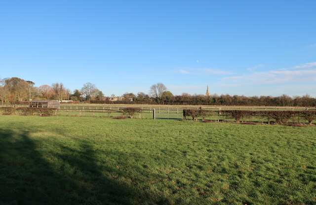
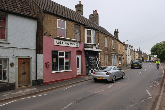
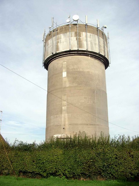
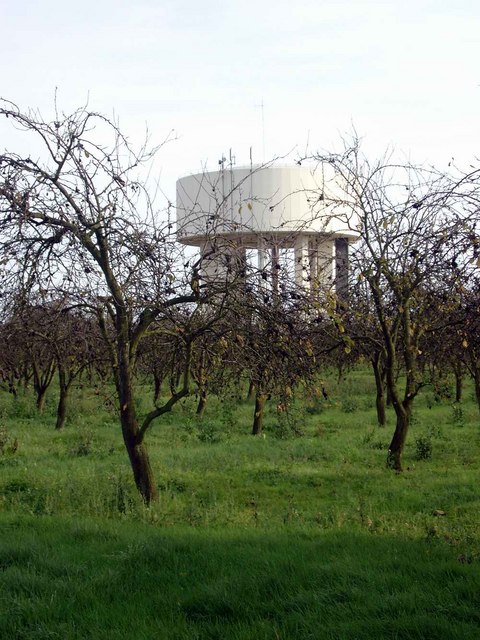
Images are sourced within 2km of 52.365432/0.013053911 or Grid Reference TL3776. Thanks to Geograph Open Source API. All images are credited.

St Mary, Bluntisham: late September 2021
Approaching the junction of the A1123 with Holliday's Road
Village sign, Colne
Village sign, Colne
St Helen, Colne: late September 2021
Looking north-east along the High Street
Houses at Bluntisham A semi-detached pair at the junction of Holliday's Road with Rectory Road [A1123]. The RH one looks as if it has nest boxes for swifts, or other birds, under the eaves?
Houses at Bluntisham
A semi-detached pair at the junction of Holliday's Road with Rectory Road [A1123]. The RH one looks as if it has nest boxes for swifts, or other birds, under the eaves?
The Colne Road [B1050] at Earith The brick building is a gas governor.
The Colne Road [B1050] at Earith
The brick building is a gas governor.
Cook's Drove, Earith At its junction with Colne Road [B1050].
Cook's Drove, Earith
At its junction with Colne Road [B1050].
Little Fen Floodplain by the Great Ouse.
Little Fen
Floodplain by the Great Ouse.
Bluntisham House
Bluntisham House
Path to Bluntisham
Path to Bluntisham
Horse paddocks by Bluntisham
Earith Curry House and Barbers On the A1123 High Street.
Earith Curry House and Barbers
On the A1123 High Street.
River Great Ouse, Earith, Cambs – view upstream from Earith Sluice, at the entrance to the Old Bedford River.
River Great Ouse, Earith, Cambs
– view upstream from Earith Sluice, at the entrance to the Old Bedford River.
High Street, Earith, Cambs looking west along the A1123 near its junction with Bridge End.
High Street, Earith, Cambs
looking west along the A1123 near its junction with Bridge End.
Water tower at Bluntisham
Water tower and derelict orchard The second of two water towers just west of Bluntisham.  This one is surrounded by a derelict orchard - one of many in the area.
Water tower and derelict orchard
The second of two water towers just west of Bluntisham. This one is surrounded by a derelict orchard - one of many in the area.
Show me another place!

Colne is located at Grid Ref: TL3776 (Lat: 52.365432, Lng: 0.013053911)

Administrative County: Cambridgeshire

District: Huntingdonshire

Police Authority: Cambridgeshire

What 3 Words

///disarmed.sleep.sleeps. Near Bluntisham, Cambridgeshire

Nearby Locations

Colne Colne

Related Wikis

Colne, Cambridgeshire

Colne is a village and civil parish in Cambridgeshire, England. Colne lies about 9 miles (14 km) east of Huntingdon; the villages of Bluntisham, Woodhurst...

Berry Fen

Berry Fen is a 15.3-hectare (38-acre) biological Site of Special Scientific Interest on the western outskirts of Earith in Cambridgeshire.This neutral...

Bluntisham

Bluntisham is a village and civil parish in Cambridgeshire, England. The population of the civil parish at the 2011 census was 2,003. Bluntisham lies approximately...

Earith

Earith is a village and civil parish in Cambridgeshire, England. Lying approximately 10 miles (16 km) east of Huntingdon, Earith is situated within Huntingdonshire...

Nearby Amenities

Located within 500m of 52.365432,0.013053911
Colne
Place: village
Source: npe
Lat/Long: 52.3648673/0.0157931
Bus Stop
East Street
Bus: yes
Naptan AtcoCode: 0500HCOLN001
Naptan Bearing: N
Naptan CommonName: East Street
Naptan Indicator: opp
Naptan Landmark: East Street
Naptan NaptanCode: cmbdmwag
Naptan ShortCommonName: East Street
Naptan Street: High Street
Naptan Verified: no
Public Transport: platform
Source: naptan_import
Lat/Long: 52.3638391/0.0122743
Bus Stop
East Street
Bus: yes
Naptan AtcoCode: 0500HCOLN002
Naptan Bearing: S
Naptan BusStopType: CUS
Naptan CommonName: East Street
Naptan Indicator: near
Naptan Landmark: East Street
Naptan NaptanCode: cmbdmwaj
Naptan ShortCommonName: East Street
Naptan Street: High Street
Naptan Verified: no
Public Transport: platform
Source: naptan_import
Lat/Long: 52.363864/0.0123929
Bus Stop
Earith Road
Bus: yes
Naptan AtcoCode: 0500HCOLN003
Naptan Bearing: NE
Naptan BusStopType: CUS
Naptan CommonName: Earith Road
Naptan Indicator: opp
Naptan Landmark: Earith Road
Naptan NaptanCode: cmbdmwam
Naptan ShortCommonName: Earith Road
Naptan Street: High Street
Naptan Verified: no
Public Transport: platform
Source: naptan_import
Lat/Long: 52.3681445/0.0150113
Bus Stop
Earith Road
Bus: yes
Naptan AtcoCode: 0500HCOLN004
Naptan Bearing: SW
Naptan CommonName: Earith Road
Naptan Indicator: near
Naptan Landmark: Earith Road
Naptan NaptanCode: cmbdmwap
Naptan ShortCommonName: Earith Road
Naptan Street: High Street
Naptan Verified: no
Public Transport: platform
Source: naptan_import
Lat/Long: 52.368098/0.0150973
Bus Stop
Dunholt Way
Bus: yes
Naptan AtcoCode: 0500HCOLN005
Naptan Bearing: NE
Naptan BusStopType: CUS
Naptan CommonName: Dunholt Way
Naptan Crossing: Dunholt Way
Naptan Indicator: near
Naptan Landmark: Dunholt Way
Naptan NaptanCode: cmbgjpjg
Naptan ShortCommonName: Dunholt Way
Naptan Street: East Street
Naptan Verified: no
Public Transport: platform
Source: naptan_import
Lat/Long: 52.3641514/0.0192048
Bus Stop
Dunholt Way
Bus: yes
Naptan AtcoCode: 0500HCOLN006
Naptan Bearing: SW
Naptan BusStopType: CUS
Naptan CommonName: Dunholt Way
Naptan Crossing: Dunholt Way
Naptan Indicator: opp
Naptan Landmark: Dunholt Way
Naptan NaptanCode: cmbgjpjm
Naptan ShortCommonName: Dunholt Way
Naptan Street: East Street
Naptan Verified: no
Public Transport: platform
Source: naptan_import
Lat/Long: 52.364112/0.0194692
Recycling
Lat/Long: 52.3634496/0.0155148
War Memorial
Historic: memorial
Lat/Long: 52.3652486/0.0129161
Post Box
Post Box Type: lamp
Ref: PE28 87
Royal Cypher: EIIR
Royal Cypher Wikidata: Q33102113
Lat/Long: 52.3651284/0.0127936
Public Bookcase
Phone Box Library
Booth: K6
Colour: red
Disused Amenity: telephone
Man Made: telephone_box
Operator: Colne Parish Council
Public Bookcase Type: phone_box
Lat/Long: 52.3651423/0.0128412
Power: pole
Lat/Long: 52.3678039/0.0091407
Power: pole
Lat/Long: 52.3685835/0.0091676
Power: pole
Lat/Long: 52.3645087/0.0089047
Power: pole
Lat/Long: 52.3685966/0.0112758
Power: pole
Lat/Long: 52.3695515/0.0134378
Power: pole
Lat/Long: 52.3670309/0.0090495
Power: pole
Lat/Long: 52.3690717/0.0123032
Power: pole
Lat/Long: 52.3625367/0.008159
Power: pole
Lat/Long: 52.3631756/0.0088028
Power: pole
Lat/Long: 52.3685769/0.0101171
Power: pole
Lat/Long: 52.3639551/0.0088564
Power: pole
Lat/Long: 52.3629005/0.0096664
Power: pole
Lat/Long: 52.3655473/0.0089799
Power: pole
Lat/Long: 52.3650675/0.0089397
Power: pole
Lat/Long: 52.3662721/0.0090243
Barrier: entrance
Lat/Long: 52.3634397/0.0131502
Barrier: entrance
Lat/Long: 52.3652106/0.0135978
Place: farm
Lat/Long: 52.3665624/0.0085113
Bench
Lat/Long: 52.3651585/0.0128986
Leisure: pitch
Sport: skateboard
Lat/Long: 52.3651988/0.0141871
Post Box
Ref: PE28 19
Lat/Long: 52.3635967/0.0147897
The data included in this document is from www.openstreetmap.org. The data is made available under ODbL.

Have you been to Colne?

Leave your review of Colne below (or comments, questions and feedback).