Birkett Wood
Wood, Forest in Westmorland South Lakeland
England
Birkett Wood
Birkett Wood is a picturesque forest located in the county of Westmorland, England. Covering an area of approximately 500 acres, it is nestled in the heart of the Lake District National Park, renowned for its stunning natural beauty. The wood is situated near the village of Wood, surrounded by rolling hills and scenic landscapes.
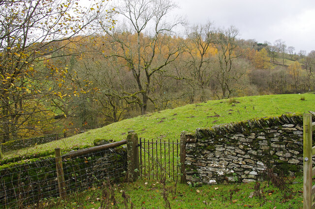
The woodland is primarily composed of broadleaf trees, including oak, beech, and birch, which create a dense canopy that provides ample shade and shelter for various wildlife species. The forest floor is adorned with a carpet of ferns, wildflowers, and moss, adding to its enchanting atmosphere. Birkett Wood is also home to a diverse range of flora and fauna, including red squirrels, roe deer, and a variety of bird species, making it a popular destination for nature enthusiasts and birdwatchers.
The wood offers a network of well-maintained footpaths and trails, allowing visitors to explore its hidden corners and immerse themselves in its tranquil ambiance. These paths lead to viewpoints that offer breathtaking vistas of the surrounding countryside, providing ample opportunities for photography and relaxation.
Birkett Wood is a cherished natural gem in Westmorland, attracting both locals and tourists alike. Its serene atmosphere, stunning scenery, and rich biodiversity make it an ideal destination for those seeking solace in nature's embrace. Whether one desires a leisurely stroll, a picnic amidst the trees, or a chance to spot elusive wildlife, Birkett Wood offers a truly enchanting experience in the heart of the Lake District.
If you have any feedback on the listing, please let us know in the comments section below.
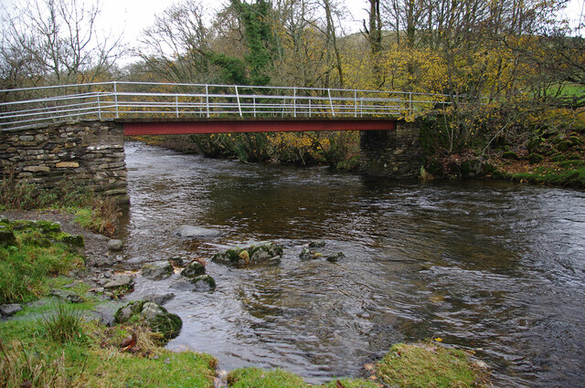
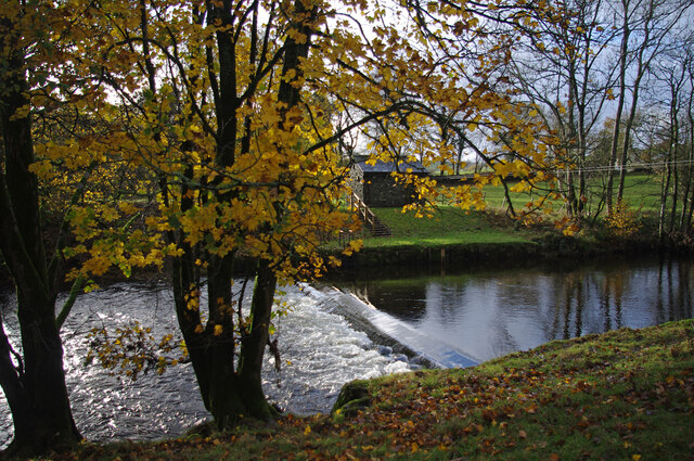
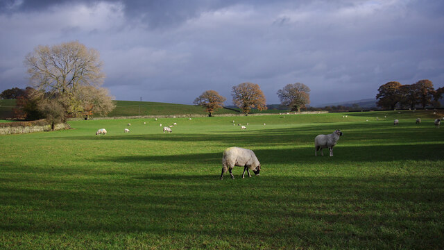
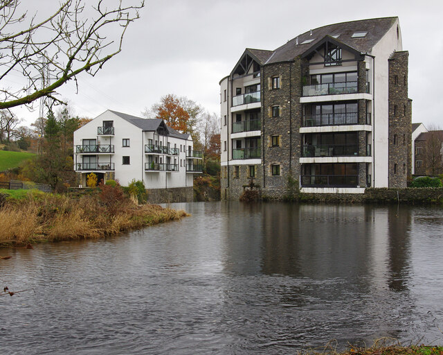
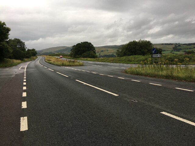
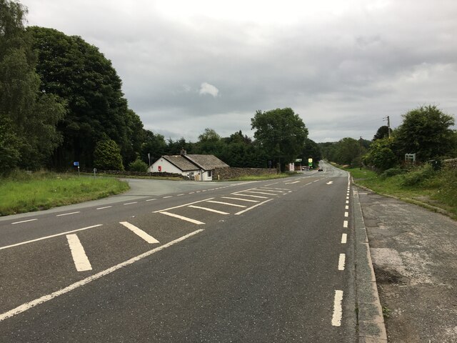
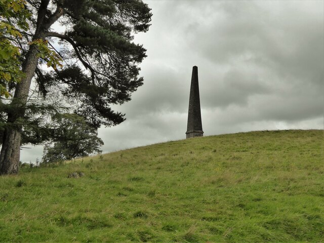
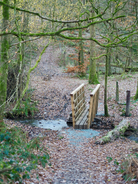
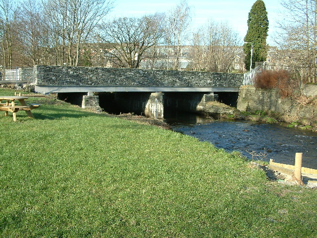
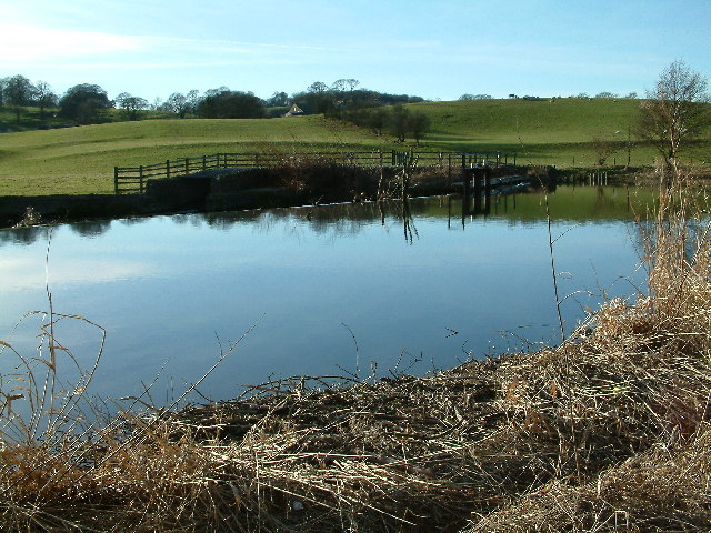
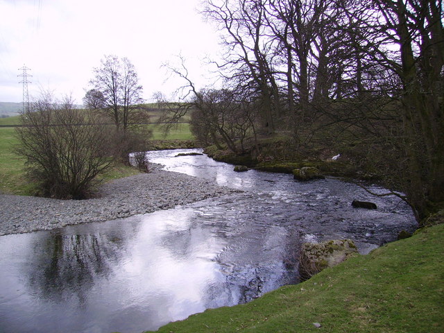
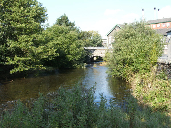
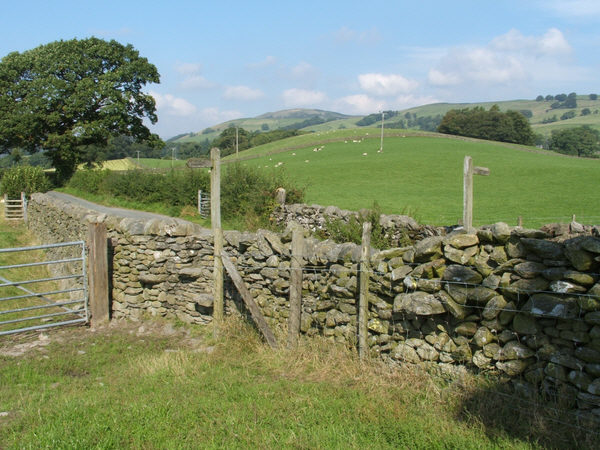
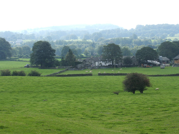
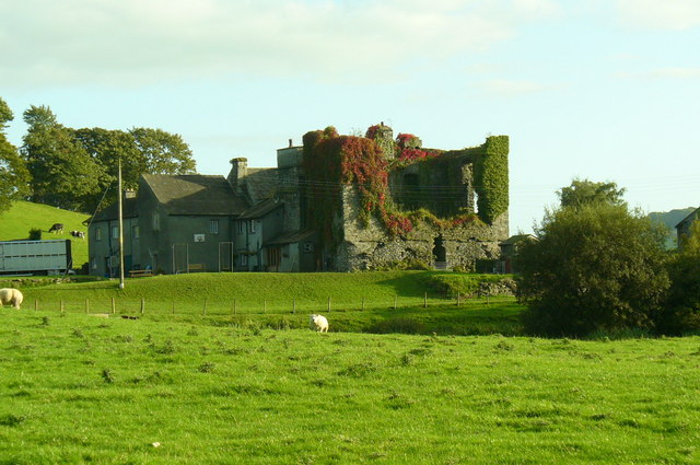
Birkett Wood Images
Images are sourced within 2km of 54.365004/-2.7673254 or Grid Reference SD5096. Thanks to Geograph Open Source API. All images are credited.


Birkett Wood is located at Grid Ref: SD5096 (Lat: 54.365004, Lng: -2.7673254)
Administrative County: Cumbria
District: South Lakeland
Police Authority: Cumbria
What 3 Words
///bead.wiring.oxidation. Near Burneside, Cumbria
Nearby Locations
Related Wikis

Cowan Head
Cowan Head is a hamlet in Cumbria, England. It is on the River Kent upstream from Burneside. == See also == Burneside Paper Mills Tramway == References ==
Burneside
Burneside () is a small village in South Lakeland in Cumbria, England. It is located to the north of Kendal and to the south east of Staveley, on the River...
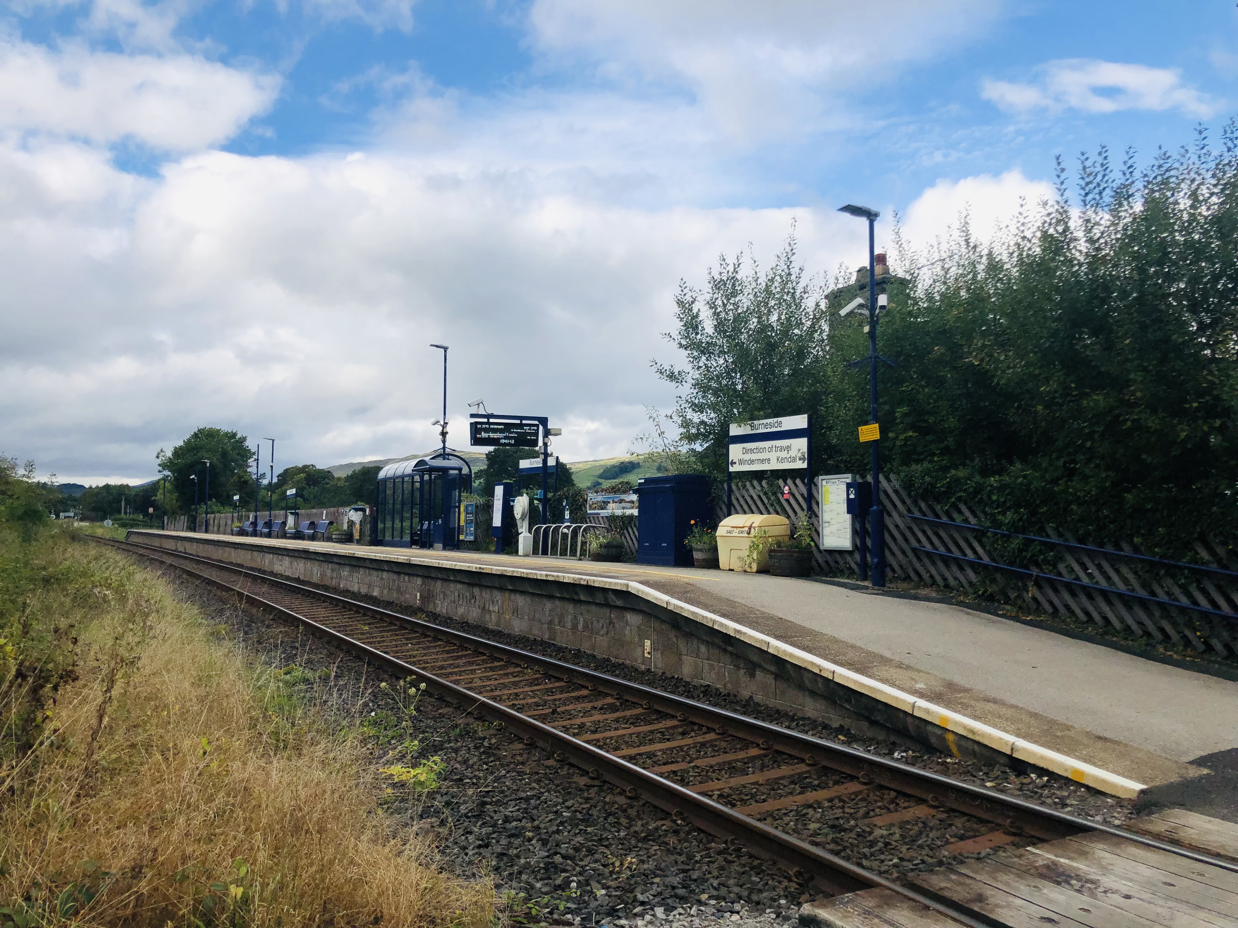
Burneside railway station
Burneside railway station is in Burneside, Cumbria, England. The station is situated on the Windermere Branch Line from Oxenholme to Windermere. To the...

Strickland Roger
Strickland Roger is a civil parish in South Lakeland, Cumbria, England. In the 2001 census the parish had a population of 544, decreasing at the 2011 census...
Nearby Amenities
Located within 500m of 54.365004,-2.7673254Have you been to Birkett Wood?
Leave your review of Birkett Wood below (or comments, questions and feedback).