Hillrigg Wood

Wood, Forest in Cumberland Eden

England

Hillrigg Wood

The former Armathwaite signal box A non-operational box since 1983, but preserved as a heritage attraction. See <span class="nowrap"><a title="https://settle-carlisle.co.uk/place/armathwaite-signal-box/" rel="nofollow ugc noopener" href="https://settle-carlisle.co.uk/place/armathwaite-signal-box/">Link</a><img style="margin-left:2px;" alt="External link" title="External link - shift click to open in new window" src="https://s1.geograph.org.uk/img/external.png" width="10" height="10"/></span> for details and opening times. Armathwaite is one of only four stations between Kirkby Stephen and Carlisle remaining open (the others being Appleby, Langwathby and Lazonby & Kirkoswald); there used to be nine others serving small villages, that have all closed, although the platforms or station building survive at some of them.
The former Armathwaite signal box Credit: Stephen Craven

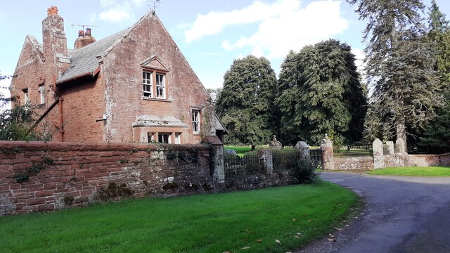
Hillrigg Wood is a picturesque woodland located in Cumberland, a historic county in the north-west region of England. This enchanting forest covers an area of approximately 100 acres, providing a peaceful and serene escape for nature enthusiasts and hikers alike.

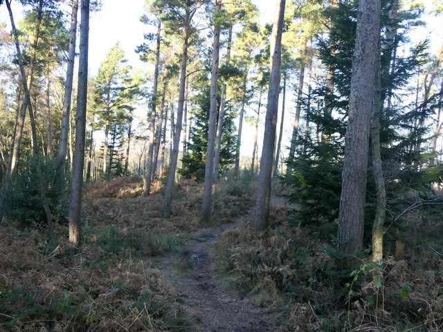
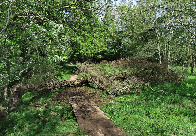
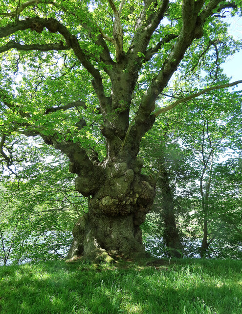
The wood is characterized by its diverse range of tree species, including oak, beech, birch, and ash, which create a stunning canopy overhead. The forest floor is adorned with an array of wildflowers, ferns, and mosses, adding to the woodland's natural beauty. The vibrant colors of the changing seasons make Hillrigg Wood a particularly enchanting sight, with a burst of bluebells in spring and a kaleidoscope of orange and gold leaves in autumn.

Tranquility and tranquility abound in this woodland retreat, making it an ideal spot for wildlife observation. Visitors may spot a variety of bird species, such as woodpeckers, owls, and thrushes, as well as small mammals like squirrels and hedgehogs. The peaceful atmosphere of Hillrigg Wood also attracts deer, which can occasionally be seen grazing among the trees.

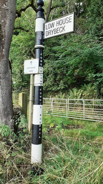
For outdoor enthusiasts, Hillrigg Wood offers a network of well-maintained walking trails, allowing visitors to explore its hidden corners and discover its natural wonders. These paths cater to all levels of walkers, from leisurely strolls to more challenging hikes. Along the way, visitors can enjoy breathtaking views of the surrounding countryside, enhancing the overall experience.

Hillrigg Wood is a true gem in the heart of Cumberland, offering a sanctuary for nature lovers and a place to connect with the beauty of the natural world. Whether one seeks solitude, adventure, or simply a moment of tranquility, this woodland retreat is sure to captivate and inspire.

If you have any feedback on the listing, please let us know in the comments section below.

Hillrigg Wood Images

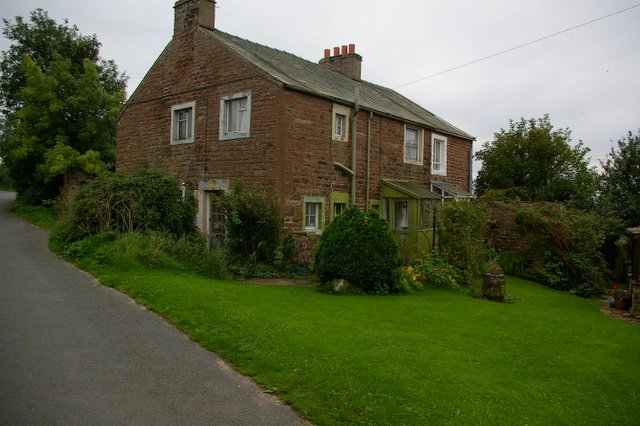
Images are sourced within 2km of 54.812262/-2.7841991 or Grid Reference NY4946. Thanks to Geograph Open Source API. All images are credited.

The former Armathwaite signal box A non-operational box since 1983, but preserved as a heritage attraction. See <span class="nowrap"><a title="https://settle-carlisle.co.uk/place/armathwaite-signal-box/" rel="nofollow ugc noopener" href="https://settle-carlisle.co.uk/place/armathwaite-signal-box/">Link</a><img style="margin-left:2px;" alt="External link" title="External link - shift click to open in new window" src="https://s1.geograph.org.uk/img/external.png" width="10" height="10"/></span> for details and opening times. Armathwaite is one of only four stations between Kirkby Stephen and Carlisle remaining open (the others being Appleby, Langwathby and Lazonby & Kirkoswald); there used to be nine others serving small villages, that have all closed, although the platforms or station building survive at some of them.
The former Armathwaite signal box
A non-operational box since 1983, but preserved as a heritage attraction. See LinkExternal link for details and opening times. Armathwaite is one of only four stations between Kirkby Stephen and Carlisle remaining open (the others being Appleby, Langwathby and Lazonby & Kirkoswald); there used to be nine others serving small villages, that have all closed, although the platforms or station building survive at some of them.
Benchmark at base of gatepost in front of cottages at Folly Brow Ordnance Survey cut mark benchmark levelled at 68.810m above Newlyn Datum verified 1972
Benchmark at base of gatepost in front of cottages at Folly Brow
Ordnance Survey cut mark benchmark levelled at 68.810m above Newlyn Datum verified 1972
Cottages on west side of road at Folly Brow There is an Ordnance Survey benchmark <a href="https://www.geograph.org.uk/photo/6971473">NY5048 : Benchmark at base of gatepost in front of cottages at Folly Brow</a> at the base of the right hand gatepost at the entrance to the cottages
Cottages on west side of road at Folly Brow
There is an Ordnance Survey benchmark NY5048 : Benchmark at base of gatepost in front of cottages at Folly Brow at the base of the right hand gatepost at the entrance to the cottages
The Lodge and entrance to Low House
The Lodge at the entrance driveway to Low House
Cumberland County Council finger signpost near Drybeck Viaduct Behind the signpost is a track which passes under Drybeck Viaduct. <a href="https://www.geograph.org.uk/photo/6043303">NY5047 : Direction Sign - Signpost west of Drybeck Farm, Hesket Parish</a> is another view of the signpost.
Cumberland County Council finger signpost near Drybeck Viaduct
Behind the signpost is a track which passes under Drybeck Viaduct. NY5047 : Direction Sign - Signpost west of Drybeck Farm, Hesket Parish is another view of the signpost.
Downstream along the Eden The Eden is a fine mature river by the time it has reached Armathwaite. The only English river to flow northwards for most of its course.
Downstream along the Eden
The Eden is a fine mature river by the time it has reached Armathwaite. The only English river to flow northwards for most of its course.
Coombs Wood Near the summit. The woodland survived the storm of 26th November with limited damage.
Coombs Wood
Near the summit. The woodland survived the storm of 26th November with limited damage.
Armathwaite Station On the Settle to Carlisle line.
Armathwaite Station
On the Settle to Carlisle line.
Here be dragons A superb dragon on a rooftop in Armathwaite village.
Here be dragons
A superb dragon on a rooftop in Armathwaite village.
Cross with care A public footpath crosses the railway line near Armathwaite. Walkers are asked to stop, look and listen to check for safety before crossing. If the rails make a “singing” sound, there’s a train on the way.
Cross with care
A public footpath crosses the railway line near Armathwaite. Walkers are asked to stop, look and listen to check for safety before crossing. If the rails make a “singing” sound, there’s a train on the way.
"Crewe Diesel Depot" at Armathwaite Locomotive D1924, "Crewe Diesel Depot", is a Class 47 heritage diesel engine that was built in 1966. It was the support engine for the May 2022 steam special hauled by locomotive 34046 "Braunton". Photographed on the approach to Armathwaite Station on the southward leg of the May 2022 steam special outing.
"Crewe Diesel Depot" at Armathwaite
Locomotive D1924, "Crewe Diesel Depot", is a Class 47 heritage diesel engine that was built in 1966. It was the support engine for the May 2022 steam special hauled by locomotive 34046 "Braunton". Photographed on the approach to Armathwaite Station on the southward leg of the May 2022 steam special outing.
"Braunton" at Armathwaite Locomotive 34046 "Braunton" is a West Country class 4-6-2 engine built in 1946 for the Southern Railway. Now based at Crewe Diesel Depot, Braunton works on the main line hauling excursion trains. It was named after the scenic village in Devon. Photographed on the approach to Armathwaite Station on the southward leg of the May 2022 steam special outing.
"Braunton" at Armathwaite
Locomotive 34046 "Braunton" is a West Country class 4-6-2 engine built in 1946 for the Southern Railway. Now based at Crewe Diesel Depot, Braunton works on the main line hauling excursion trains. It was named after the scenic village in Devon. Photographed on the approach to Armathwaite Station on the southward leg of the May 2022 steam special outing.
Footpath near Armathwaite The path lies alongside the River Eden. A fallen tree had created a minor obstacle.
Footpath near Armathwaite
The path lies alongside the River Eden. A fallen tree had created a minor obstacle.
A spooky old oak It’s not too difficult to imagine scary things hiding in this old tree.
A spooky old oak
It’s not too difficult to imagine scary things hiding in this old tree.
Aiketgate
Aiketgate
Aiketgate. Track to Fields
House at Aiketgate
House at Aiketgate
Show me another place!

Hillrigg Wood is located at Grid Ref: NY4946 (Lat: 54.812262, Lng: -2.7841991)

Administrative County: Cumbria

District: Eden

Police Authority: Cumbria

What 3 Words

///galaxy.underline.roving. Near Wetheral, Cumbria

Related Wikis

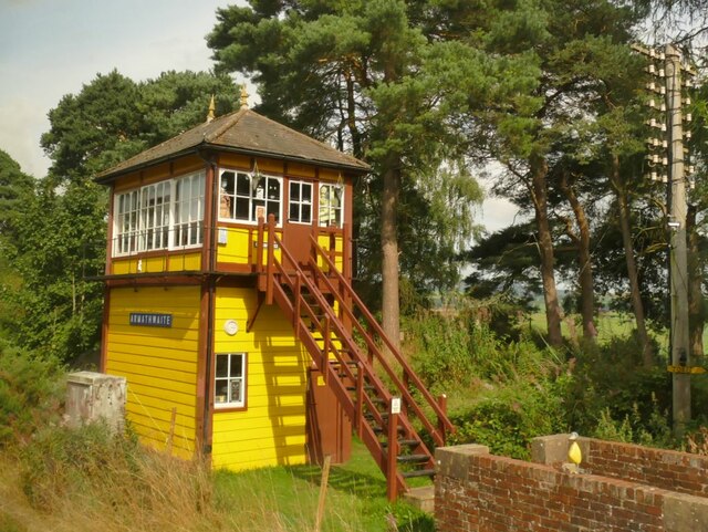
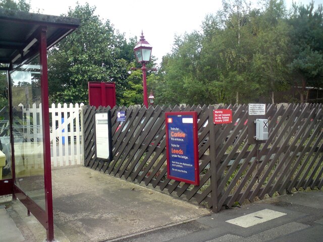
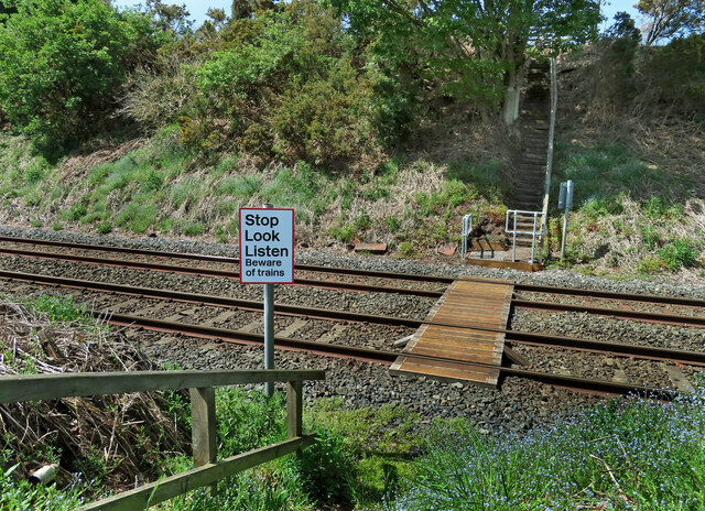
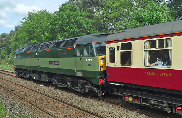
Armathwaite railway station

Armathwaite is a railway station on the Settle and Carlisle Line, which runs between Carlisle and Leeds via Settle. The station, situated 9 miles 75 chains...
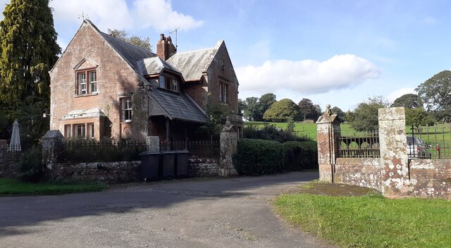
Armathwaite

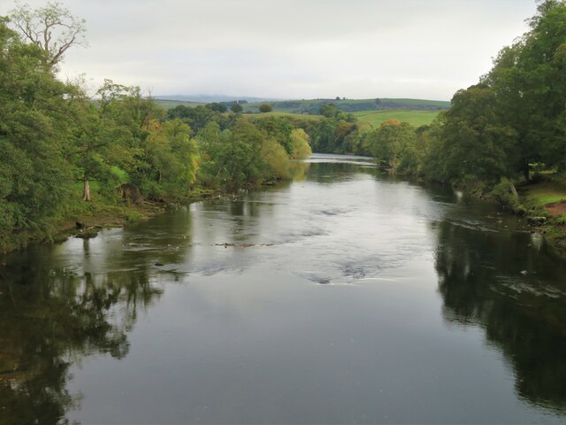
Armathwaite is a village in the English ceremonial county of Cumbria. Historically within the county of Cumberland, Armathwaite lies on the River Eden...

Armathwaite Castle

Armathwaite Castle is in the village of Armathwaite, Cumbria, England, by the River Eden. Originally built to defend against Scottish raiders in the 15th...
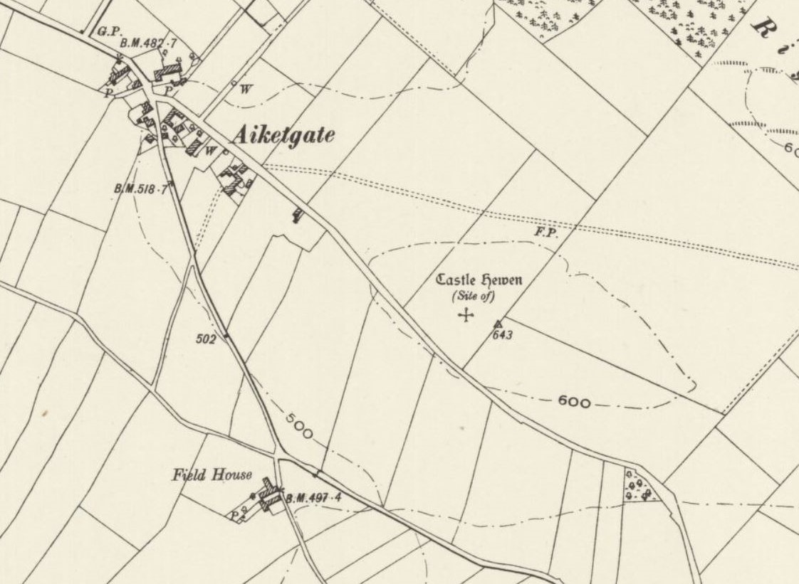
Castle Hewen

Castle Hewen (also recorded as Castlewen; Castle Luen; Castellewyn; Castellewyne; Castlehewings; Castle-Ewaine and Castle Lewen) was a Romano-British castle...

Nearby Amenities

Located within 500m of 54.812262,-2.7841991
Place: farm
Lat/Long: 54.8091736/-2.783579
Power: pole
Lat/Long: 54.8090901/-2.77886
Power: pole
Lat/Long: 54.8091228/-2.7802007
Power: pole
Lat/Long: 54.8088635/-2.7815557
Power: pole
Lat/Long: 54.8086082/-2.7828301
Power: pole
Lat/Long: 54.8083652/-2.7839979
Power: pole
Lat/Long: 54.8081126/-2.785296
The data included in this document is from www.openstreetmap.org. The data is made available under ODbL.

Have you been to Hillrigg Wood?

Leave your review of Hillrigg Wood below (or comments, questions and feedback).