Clarks Wood
Wood, Forest in Lancashire South Ribble
England
Clarks Wood

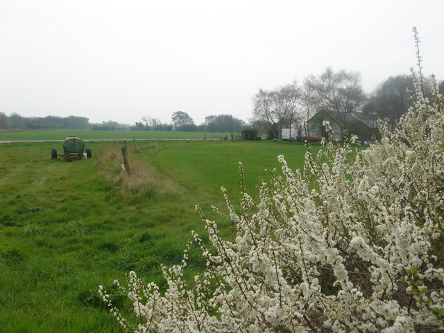
Clarks Wood, located in Lancashire, England, is a charming and picturesque forest area nestled in the heart of the county. Spread across a sprawling expanse of land, it covers approximately 100 acres and is a popular destination for nature lovers and outdoor enthusiasts.
The wood is characterized by its dense vegetation and diverse range of tree species, including oak, beech, and sycamore, which create a vibrant and colorful canopy throughout the year. These trees provide a habitat for a variety of wildlife, including birds, squirrels, and rabbits, making it a haven for animal enthusiasts.
Visitors to Clarks Wood can explore its numerous walking trails, which meander through the forest, offering stunning views and opportunities to observe the local flora and fauna. The wood is also intersected by a small stream, adding to its natural beauty and providing a tranquil atmosphere for visitors to enjoy.
For those interested in history, Clarks Wood boasts an intriguing past. It is believed to have been part of a larger medieval hunting forest and has remnants of ancient boundary banks and ditches that are still visible today.
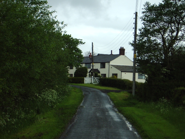
The wood is open to the public year-round and is managed by the local council, ensuring its preservation and accessibility for all. It is a popular spot for picnics, family outings, and nature walks, offering a peaceful and rejuvenating escape from the hustle and bustle of everyday life.
Overall, Clarks Wood in Lancashire is a captivating destination that offers a mix of natural beauty, wildlife, and historical significance, making it a cherished location for both locals and visitors alike.
If you have any feedback on the listing, please let us know in the comments section below.
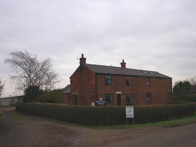
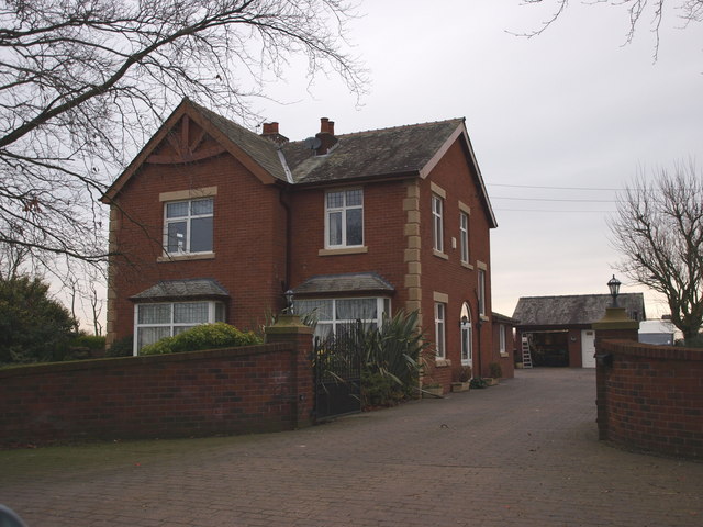
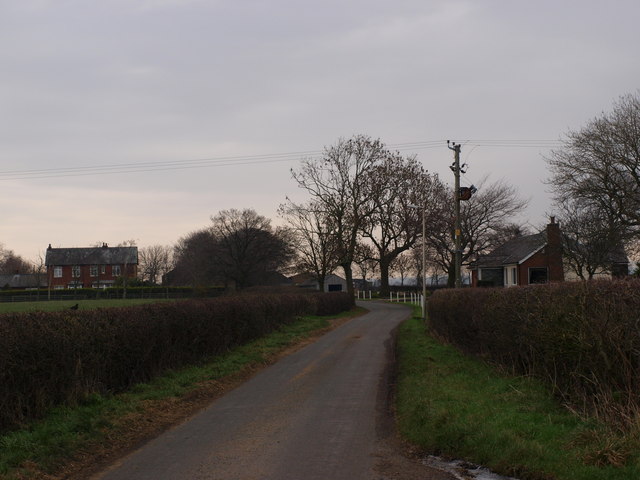
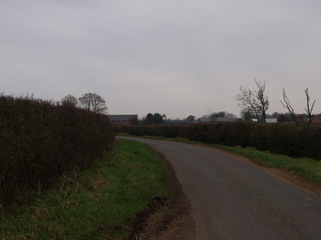
Clarks Wood Images
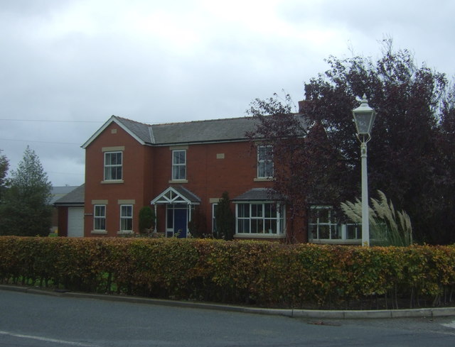
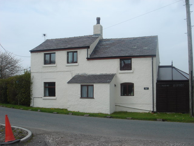
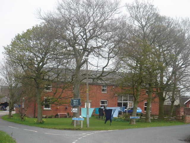
Images are sourced within 2km of 53.7011/-2.765705 or Grid Reference SD4923. Thanks to Geograph Open Source API. All images are credited.


Clarks Wood is located at Grid Ref: SD4923 (Lat: 53.7011, Lng: -2.765705)
Administrative County: Lancashire
District: South Ribble
Police Authority: Lancashire
What 3 Words
///stolen.multiple.listed. Near Croston, Lancashire
Nearby Locations
Related Wikis
Midge Hall railway station
Midge Hall railway station was located in Midge Hall, Leyland, closing to passengers in 1961, although the line still exists as the Ormskirk Branch Line...

Cocker Bar railway station
Cocker Bar railway station was located in what is still open country where Cocker Bar Road (B5248) crosses what is now the Ormskirk Branch Line.The station...

Midge Hall
Midge Hall is a small village on the outskirts of Leyland in the borough of South Ribble, Lancashire, England. Notable features include the Midge Hall...

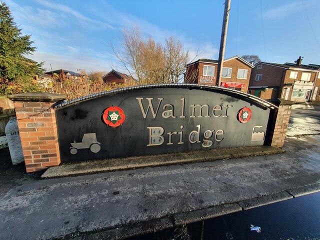
Walmer Bridge
Walmer Bridge is a small village in Lancashire, England. Surrounding villages are Much Hoole and Longton. == History == Walmer Bridge is first recorded...
Nearby Amenities
Located within 500m of 53.7011,-2.765705Have you been to Clarks Wood?
Leave your review of Clarks Wood below (or comments, questions and feedback).