Hamer Field Wood
Wood, Forest in Lancashire Wyre
England
Hamer Field Wood
Hamer Field Wood, located in Lancashire, is a picturesque woodland area covering approximately 34 hectares. Situated near the town of Haslingden, this ancient woodland provides a serene escape for nature enthusiasts and those seeking tranquility.
The woodland is primarily composed of broadleaf trees such as oak, beech, and birch, creating a diverse and vibrant ecosystem. The lush undergrowth is adorned with an array of wildflowers, including bluebells, wood anemones, and primroses, which bloom in spring, adding a splash of color to the forest floor.
Hamer Field Wood is home to a variety of wildlife, making it a popular destination for wildlife watchers. Birdwatchers can spot an array of species like woodpeckers, nuthatches, and tawny owls. The woodland is also inhabited by mammals such as badgers, foxes, and roe deer, which can occasionally be seen exploring their natural habitat.
Walking trails wind through the woodland, providing visitors with opportunities to explore and appreciate the natural beauty of the area. These paths are well-maintained, making it accessible for people of all ages and abilities.
The woodland is managed by the local council and conservation groups, who work together to maintain its ecological balance and protect its natural resources. There are occasional organized events and guided walks to educate visitors about the importance of conservation and sustainable practices.
Hamer Field Wood is a haven for nature lovers, offering a peaceful retreat from the hustle and bustle of everyday life. Whether it is enjoying a leisurely stroll, observing wildlife, or simply soaking in the beauty of nature, this woodland provides a truly enchanting experience for all who visit.
If you have any feedback on the listing, please let us know in the comments section below.
Hamer Field Wood Images
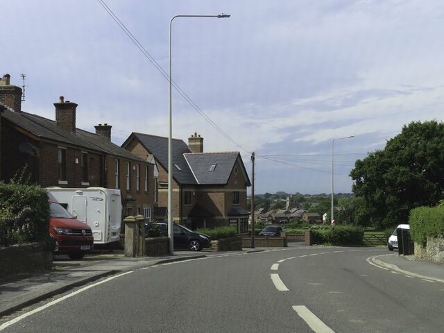
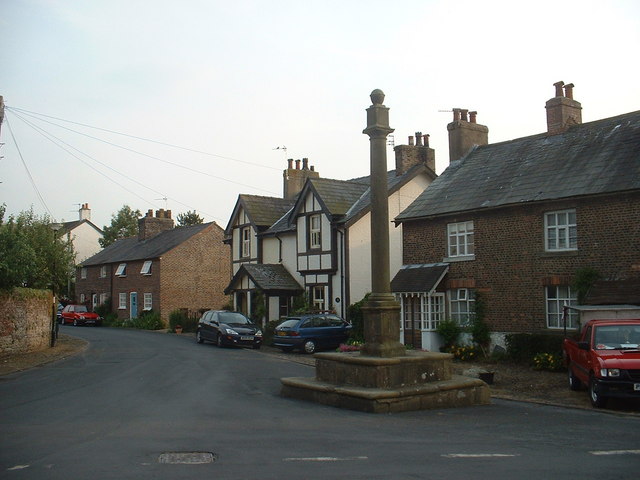
Images are sourced within 2km of 53.875696/-2.7712954 or Grid Reference SD4942. Thanks to Geograph Open Source API. All images are credited.


Hamer Field Wood is located at Grid Ref: SD4942 (Lat: 53.875696, Lng: -2.7712954)
Administrative County: Lancashire
District: Wyre
Police Authority: Lancashire
What 3 Words
///maximum.cleanest.handed. Near Catterall, Lancashire
Nearby Locations
Related Wikis

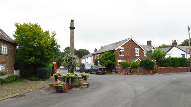
Catterall
Catterall is a village and civil parish in the borough of Wyre, Lancashire, England. Historically in the Amounderness Hundred, it is situated on the A6...

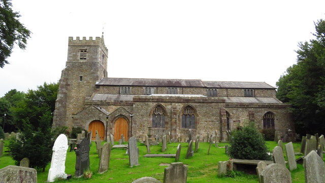
St Helen's Church, Churchtown
St Helen's Church is an Anglican church in the village of Churchtown in Lancashire, England. Historically, it was the parish church of Garstang; today...
Kirkland, Lancashire
Kirkland is a civil parish, located on the banks of the River Wyre, midway between Preston and Lancaster, in the English county of Lancashire. It is also...

Bowgreave
Bowgreave is a village in the parish of Barnacre-with-Bonds, Lancashire, England. Its nearest town is Garstang, a mile to the north. Garstang Community...
Nearby Amenities
Located within 500m of 53.875696,-2.7712954Have you been to Hamer Field Wood?
Leave your review of Hamer Field Wood below (or comments, questions and feedback).