Veddoes Coppice

Wood, Forest in Herefordshire

England

Veddoes Coppice

Twyford Common
Twyford Common Credit: Roger Cornfoot

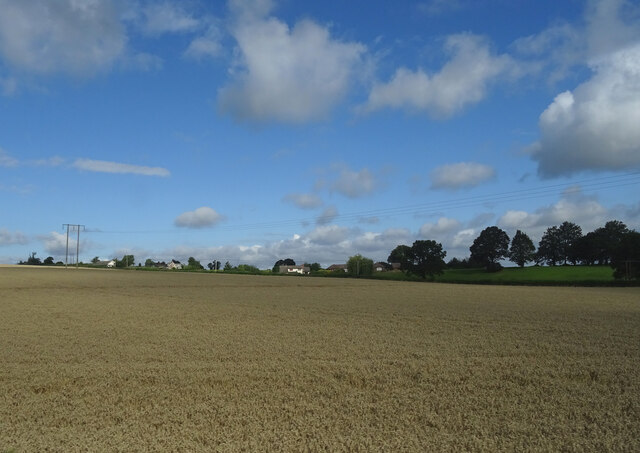
Veddoes Coppice is a woodland area located in Herefordshire, a county in the West Midlands region of England. This beautiful and diverse forest covers an approximate area of 200 acres and is known for its rich biodiversity and natural beauty.

The coppice is characterized by its dense tree cover, which primarily consists of native species such as oak, ash, birch, and beech. These trees create a lush and vibrant habitat for numerous flora and fauna species. The forest floor is adorned with a variety of wildflowers, ferns, and mosses, adding to its enchanting appeal.

The woodland is home to a wide range of wildlife, including mammals like deer, foxes, badgers, and squirrels. It also attracts a plethora of bird species, making it a popular destination for birdwatchers. Visitors can spot birds such as woodpeckers, owls, warblers, and various songbirds throughout the year.

Veddoes Coppice offers a peaceful and tranquil environment, perfect for those seeking solitude or outdoor activities. It provides numerous walking trails, allowing visitors to explore the forest and discover its hidden gems. The area is also popular among nature photographers, who can capture breathtaking shots of the woodland's natural beauty.

This woodland is managed and protected by local authorities and conservation organizations to preserve its unique ecosystem. It plays a crucial role in maintaining the ecological balance of the region and is essential for the overall health of the surrounding environment.

In summary, Veddoes Coppice in Herefordshire is a picturesque woodland area that offers a diverse range of flora and fauna, making it a haven for nature lovers and outdoor enthusiasts.

If you have any feedback on the listing, please let us know in the comments section below.

Veddoes Coppice Images

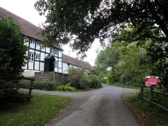
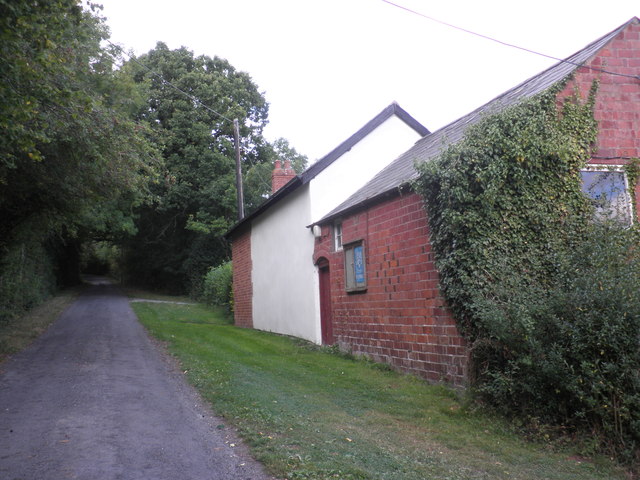
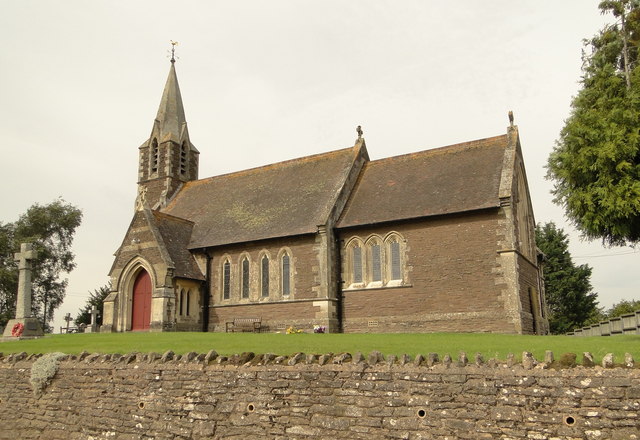
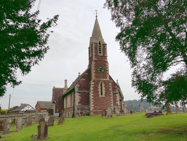
Images are sourced within 2km of 52.020826/-2.7392402 or Grid Reference SO4936. Thanks to Geograph Open Source API. All images are credited.

Twyford Common
Twyford Common
Former chapel, Twyford Common
St Peter, Bullinghope A new build of 1878-80 by F.R. Kempson with a later tower. It replaces the old church, whose remains can be seen just down the road.
St Peter, Bullinghope
A new build of 1878-80 by F.R. Kempson with a later tower. It replaces the old church, whose remains can be seen just down the road.
Church House, Bullinghope A 17th century box frame, extended and re-roofed in the early 19th century, I guess. A beautiful house in a delightful, if windy, rural location, but for how much longer as Hereford threatens to encroach.
Church House, Bullinghope
A 17th century box frame, extended and re-roofed in the early 19th century, I guess. A beautiful house in a delightful, if windy, rural location, but for how much longer as Hereford threatens to encroach.
The valley of the Norton Brook The road to Ross follows this broad valley for several kilometres south of Hereford
The valley of the Norton Brook
The road to Ross follows this broad valley for several kilometres south of Hereford
Arable field beside the A49 Arable field beside the A49 adjacent to the near roundabout at the west end of the Rotherwas access road.
Arable field beside the A49
Arable field beside the A49 adjacent to the near roundabout at the west end of the Rotherwas access road.
Field on Ridge Hill
Field on Ridge Hill
Bullinghope church Bullinghope church, though actually in the parish of Grafton, is dedicated to St Peter and was built in 1880 by FR Kempson.
Bullinghope church
Bullinghope church, though actually in the parish of Grafton, is dedicated to St Peter and was built in 1880 by FR Kempson.
Cottage in Bullinghope Country road passing a cottage in Bullinghope.
Cottage in Bullinghope
Country road passing a cottage in Bullinghope.
A49 near Norton Brook Farm
A49 nears Grafton roundabout
A49 northbound at Redhill Bridge
Hillside cereal crop near Haywood Lodge
Cereal crop, Merry Hill
Grassland near Hereford The trees mark the course of an old railway.
Grassland near Hereford
The trees mark the course of an old railway.
Haywood Cottages On a minor road west of Callow
Haywood Cottages
On a minor road west of Callow
Show me another place!

Veddoes Coppice is located at Grid Ref: SO4936 (Lat: 52.020826, Lng: -2.7392402)

Unitary Authority: County of Herefordshire

Police Authority: West Mercia

What 3 Words

///closes.scare.excuse. Near Callow, Herefordshire

Nearby Locations

Veddoes Coppice

Related Wikis

Haywood, Herefordshire

Haywood is a civil parish in Herefordshire, England, and south-west of Hereford. Parish population at the 2011 census was 216. There are no substantial...

Grafton, Herefordshire

Grafton is a village and civil parish in Herefordshire, England. The population of this civil parish was 258 at the 2011 census. The parish includes the...

Callow, Herefordshire

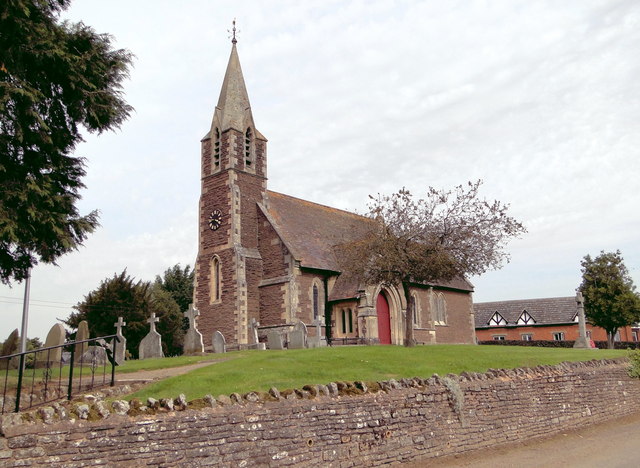
Callow is a village and civil parish in Herefordshire, England, about 4 miles (6.4 km) south of Hereford. The church is dedicated to St Mary. == External... ==

The Hereford Academy

The Hereford Academy is a secondary school and sixth form located in Hereford, Herefordshire, England.It was known as Haywood High School in the late seventies...

Nearby Amenities

Located within 500m of 52.020826,-2.7392402
Power: pole
Lat/Long: 52.0225381/-2.7345865
Power: pole
Lat/Long: 52.0221713/-2.7338777
Newhouse Farm Grafton
Power: pole
Transformer: distribution
Voltage Primary: 11000
Lat/Long: 52.0229326/-2.7364191
Power: pole
Lat/Long: 52.0231286/-2.7360128
Merefield
Power: pole
Transformer: distribution
Voltage Primary: 11000
Lat/Long: 52.0230085/-2.7354831
Power: pole
Lat/Long: 52.0219419/-2.7334821
Power: pole
Lat/Long: 52.0214876/-2.7326225
Power: pole
Lat/Long: 52.021023/-2.7324736
Power: pole
Lat/Long: 52.0212483/-2.7327579
Power: pole
Lat/Long: 52.0207159/-2.7330845
Power: pole
Lat/Long: 52.0200169/-2.7335009
Power: pole
Lat/Long: 52.0193278/-2.733914
Power: pole
Lat/Long: 52.0186494/-2.7343123
Poplar Cottage
Power: pole
Transformer: distribution
Voltage Primary: 11000
Lat/Long: 52.0177514/-2.7348467
Power: pole
Lat/Long: 52.0172141/-2.7352336
Power: pole
Lat/Long: 52.0169083/-2.7361784
Power: pole
Lat/Long: 52.0165448/-2.7372607
The data included in this document is from www.openstreetmap.org. The data is made available under ODbL.

Have you been to Veddoes Coppice?

Leave your review of Veddoes Coppice below (or comments, questions and feedback).