Broadrim Wood
Wood, Forest in Westmorland Eden
England
Broadrim Wood
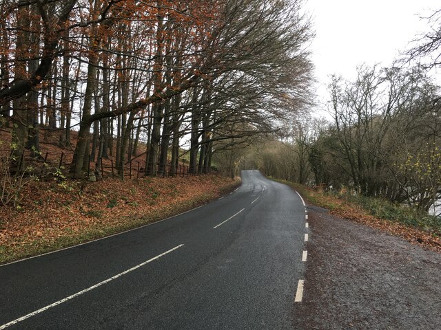
Broadrim Wood is a picturesque forest located in the county of Westmorland, in the northwestern region of England. Spread across an area of approximately 500 hectares, it is a haven for nature enthusiasts and wildlife lovers alike. The wood is situated in a rural setting, surrounded by rolling hills and countryside, offering visitors a tranquil and serene atmosphere.
As one would expect from a woodland, Broadrim Wood is predominantly composed of various species of trees, including oak, beech, and ash. The dense canopy provides ample shade, creating a cool and refreshing environment even on hot summer days. The forest floor is covered with a thick carpet of moss, ferns, and wildflowers, adding to its beauty and biodiversity.
The wood is home to a diverse range of flora and fauna. It serves as a habitat for numerous bird species, such as woodpeckers, owls, and thrushes, making it a popular spot for birdwatching. Additionally, the forest provides shelter for mammals like deer, foxes, and rabbits, which can occasionally be spotted by lucky visitors.
Broadrim Wood is a popular destination for outdoor activities, including hiking, cycling, and picnicking. Several well-marked trails crisscross the forest, offering visitors the opportunity to explore its hidden nooks and crannies. The forest also features designated picnic areas with benches, allowing visitors to relax and enjoy the tranquil surroundings.
Overall, Broadrim Wood in Westmorland is a charming and idyllic forest, offering a peaceful retreat from the hustle and bustle of everyday life. Its natural beauty, diverse wildlife, and recreational opportunities make it a must-visit destination for nature lovers and outdoor enthusiasts.
If you have any feedback on the listing, please let us know in the comments section below.
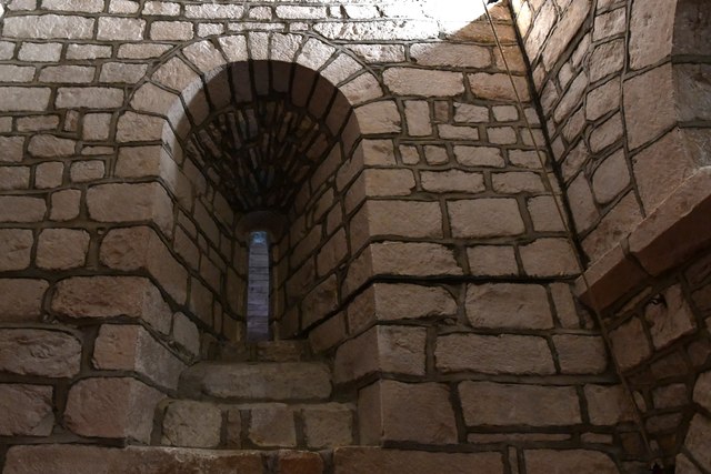
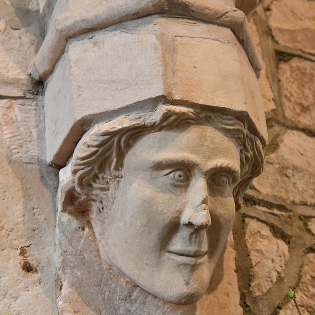
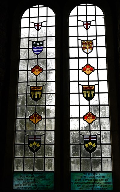
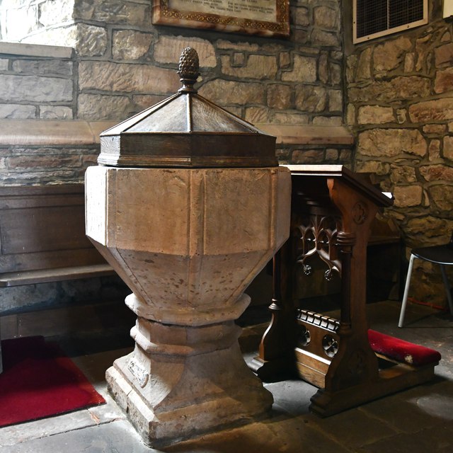
Broadrim Wood Images
Images are sourced within 2km of 54.618586/-2.7855793 or Grid Reference NY4925. Thanks to Geograph Open Source API. All images are credited.


Broadrim Wood is located at Grid Ref: NY4925 (Lat: 54.618586, Lng: -2.7855793)
Administrative County: Cumbria
District: Eden
Police Authority: Cumbria
What 3 Words
///stint.harmless.tweed. Near Penrith, Cumbria
Nearby Locations
Related Wikis

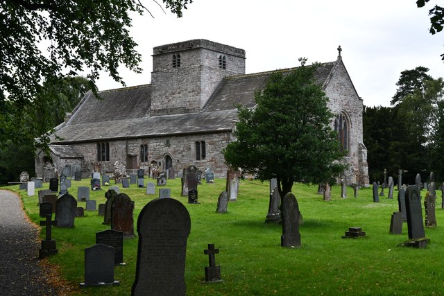
St Michael's Church, Barton
St Michael's Church is in the village of Barton, Cumbria, England. It is an active Anglican parish church in the deanery of Penrith, the archdeaconry...

Sockbridge and Tirril
Sockbridge and Tirril is a small civil parish in Eden District, Cumbria. It had a population of 397 in 2001, increasing to 415 at the 2011 Census. It comprises...
Barton, Cumbria
Barton is a hamlet in the civil parish of Barton and Pooley Bridge, in Eden District, Cumbria, England. It lies about 3 kilometres (1.9 mi) to the north...
Heughscar Hill
Heughscar Hill is a hill in the east of the English Lake District, east of Ullswater and north of High Street, Cumbria. It is the subject of a chapter...

Barton and Pooley Bridge
Barton and Pooley Bridge is a civil parish in Eden District, Cumbria, England. The parish is on the edge of the Lake District National Park, and had a...

Dacre Beck
Dacre Beck is a small river in Cumbria, England.Dacre Beck rises on the north side of Gowbarrow Fell and flows north past Ulcat Row, picking up streams...

Pooley Bridge
Pooley Bridge is a village in the Eden District of the northwestern English county of Cumbria, within the traditional borders of Westmorland. The village...
Ullswater Way
The Ullswater Way is a 20-mile (32 km) waymarked walking route around Ullswater in the English Lake District. It was created by a partnership which included...
Nearby Amenities
Located within 500m of 54.618586,-2.7855793Have you been to Broadrim Wood?
Leave your review of Broadrim Wood below (or comments, questions and feedback).