Barnes Plantation
Wood, Forest in Lancashire Lancaster
England
Barnes Plantation
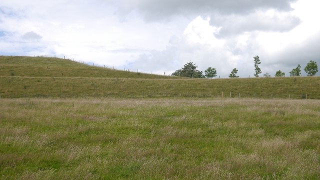
Barnes Plantation is a picturesque woodland area located in Lancashire, England. Situated near the village of Wood and surrounded by a lush forest, it spans approximately 200 acres, offering a serene and tranquil setting for nature enthusiasts and visitors alike.
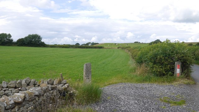
The plantation is known for its diverse range of native trees and vegetation, including oak, beech, and birch, which provide a rich habitat for a variety of wildlife. The dense canopy of trees creates a shaded and cool atmosphere, making it a popular spot for walks and hikes, particularly during the warmer months.
Visitors to Barnes Plantation can enjoy a network of well-maintained trails that wind through the woodland, providing opportunities for exploration and discovery. These trails cater to all levels of fitness, with options for leisurely strolls or more challenging hikes.
The plantation also features several designated picnic areas, where families and friends can gather to enjoy a leisurely outdoor meal amidst the natural beauty. Additionally, there are benches strategically placed throughout the woodland, allowing visitors to pause and soak in the peaceful surroundings.
Barnes Plantation is managed and maintained by the local authorities, ensuring the preservation of its unique ecosystem. It serves as a haven for both flora and fauna, with an array of bird species, small mammals, and insects calling it home.
Overall, Barnes Plantation offers a wonderful escape from the hustle and bustle of everyday life, providing a sanctuary for nature lovers and a place to reconnect with the great outdoors.
If you have any feedback on the listing, please let us know in the comments section below.
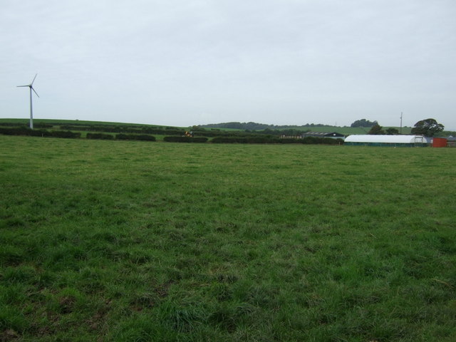
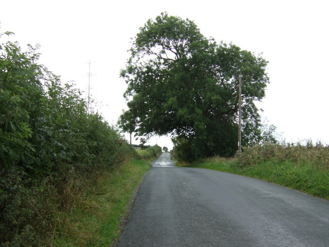
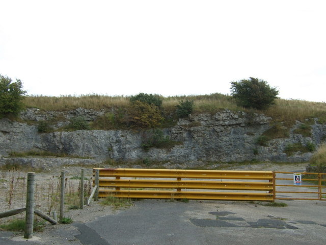
Barnes Plantation Images
Images are sourced within 2km of 54.104433/-2.7763307 or Grid Reference SD4967. Thanks to Geograph Open Source API. All images are credited.


Barnes Plantation is located at Grid Ref: SD4967 (Lat: 54.104433, Lng: -2.7763307)
Administrative County: Lancashire
District: Lancaster
Police Authority: Lancashire
What 3 Words
///reserving.field.tiger. Near Bolton le Sands, Lancashire
Nearby Locations
Related Wikis

Bolton-le-Sands
Bolton-le-Sands is a large village and civil parish of the City of Lancaster in Lancashire, England. The parish had a population of 4,098 recorded in the...

Holy Trinity Church, Bolton-le-Sands
Holy Trinity Church (formerly St Michael's Church), is in the village of Bolton-le-Sands, Lancashire, England. It is an active Anglican parish church in...

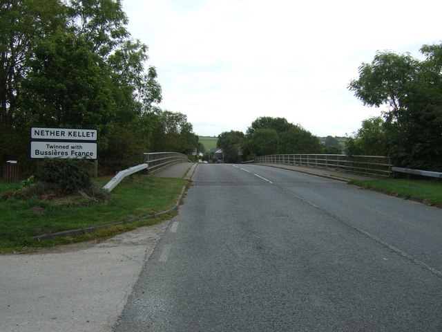
Nether Kellet
Nether Kellet is a village and civil parish in the City of Lancaster in Lancashire, England, a few miles south of Carnforth. It had a population of 646...

Bolton-le-Sands railway station
Bolton-le-Sands railway station served the village of Bolton-le-Sands, Lancashire, England, from 1847 to 1969 on the Lancaster and Carlisle Railway....
Nearby Amenities
Located within 500m of 54.104433,-2.7763307Have you been to Barnes Plantation?
Leave your review of Barnes Plantation below (or comments, questions and feedback).