Aldwick Wood

Wood, Forest in Somerset

England

Aldwick Wood

Beam Engine at Blagdon Pumping Station Part of the massive pumping engines at Blagdon
Beam Engine at Blagdon Pumping Station Credit: Richard Law

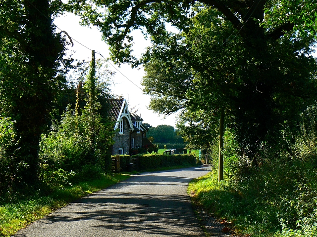
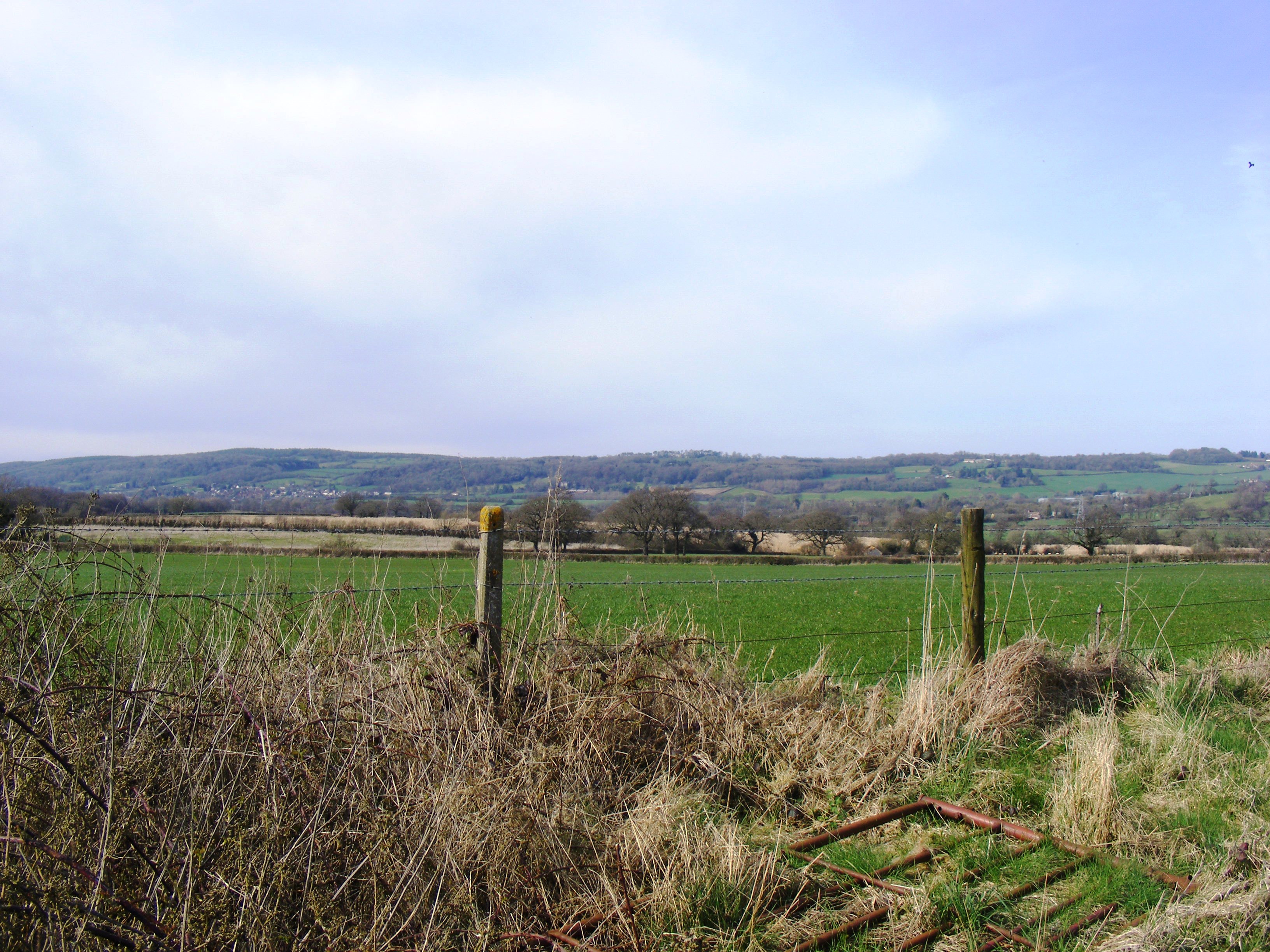
Aldwick Wood, located in Somerset, is a picturesque woodland area known for its natural beauty and tranquil atmosphere. Covering approximately 50 hectares, this enchanting forest offers a diverse range of flora and fauna, making it an ideal destination for nature lovers and outdoor enthusiasts.

The wood is primarily composed of broadleaf trees such as oak, beech, and ash, which create a dense canopy overhead, providing shade and shelter for an array of wildlife. Visitors can expect to see a variety of bird species, including woodpeckers, tits, and thrushes, as well as small mammals like squirrels, badgers, and foxes.

Aldwick Wood is crisscrossed by a network of well-maintained footpaths, allowing visitors to explore the area at their leisure. The paths wind through the woodland, passing by babbling brooks, tranquil ponds, and open meadows, providing ample opportunities for relaxation and reflection.

Nature enthusiasts can also participate in organized events and guided walks led by knowledgeable experts who share their expertise on the flora and fauna found in Aldwick Wood. These events offer an educational experience for both children and adults, fostering a deeper understanding and appreciation for the natural world.

In addition to its natural beauty, Aldwick Wood also holds historical significance. The wood is believed to have been part of an ancient hunting ground and has remnants of old boundary walls and ditches, serving as a reminder of its past.

Overall, Aldwick Wood offers a peaceful retreat from the bustling city life, providing visitors with a chance to reconnect with nature and enjoy the tranquility of this enchanting woodland.

If you have any feedback on the listing, please let us know in the comments section below.
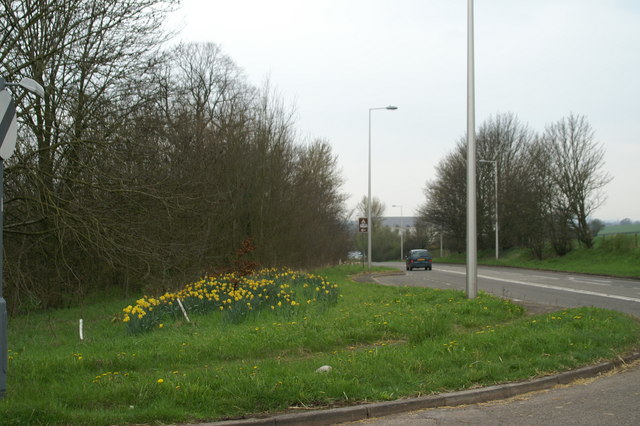
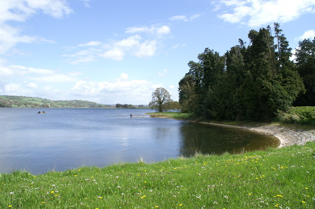
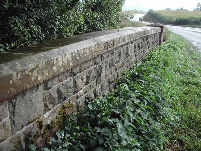
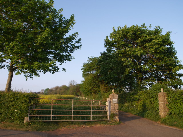
Aldwick Wood Images

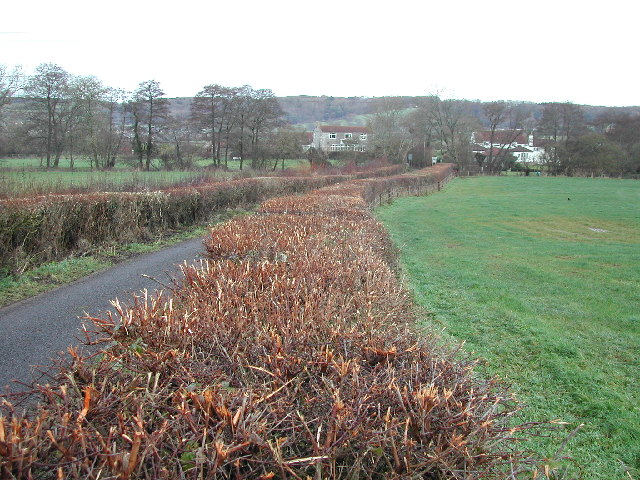
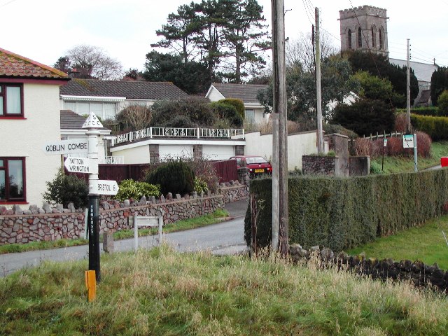
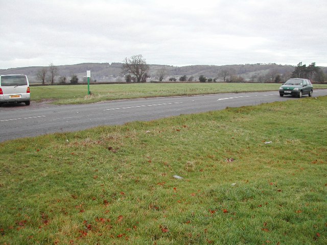
Images are sourced within 2km of 51.348498/-2.7291995 or Grid Reference ST4961. Thanks to Geograph Open Source API. All images are credited.

Beam Engine at Blagdon Pumping Station Part of the massive pumping engines at Blagdon
Beam Engine at Blagdon Pumping Station
Part of the massive pumping engines at Blagdon
Mill Lane
Mill Lane
Redhill, North Somerset This delightful little village lies on the southern slopes below Bristol International Airport and overlooks the Mendip Hills.
Redhill, North Somerset
This delightful little village lies on the southern slopes below Bristol International Airport and overlooks the Mendip Hills.
Redhill village and church
Common land off the A38 at Havyatt Green
Daffs on the A38 At the Cowslip Green junction
Daffs on the A38
At the Cowslip Green junction
Perry Bridge (A38)
Perry Bridge (A38)
Dedication stone on bridge
Drive to Burnt House Farm A division of footpaths a little way up the hill above Long Lane. The path running up the drive to the farm beside the oil rape field continues to Cottage Farm; the lane on the left is carrying a footpath past Little Horts Wood.
Drive to Burnt House Farm
A division of footpaths a little way up the hill above Long Lane. The path running up the drive to the farm beside the oil rape field continues to Cottage Farm; the lane on the left is carrying a footpath past Little Horts Wood.
Hay meadow by the Yeo The river flows along the left side of the field.
Hay meadow by the Yeo
The river flows along the left side of the field.
View towards the Mendip Hills Looking across the Yeo Valley near Blagdon Water.
View towards the Mendip Hills
Looking across the Yeo Valley near Blagdon Water.
Aldwick Lane, Aldwick, Somerset The lane is a narrow one with only a few properties on it. The house in the centre marks the point where the lane turns south (to the right).
Aldwick Lane, Aldwick, Somerset
The lane is a narrow one with only a few properties on it. The house in the centre marks the point where the lane turns south (to the right).
Aldwick Lane, Aldwick, Somerset A view west showing another relatively isolated property on this little lane.
Aldwick Lane, Aldwick, Somerset
A view west showing another relatively isolated property on this little lane.
View south from Aldwick Lane, Aldwick, Somerset This view from the tree-lined lane is towards the Mendip Hills visible in the background.
View south from Aldwick Lane, Aldwick, Somerset
This view from the tree-lined lane is towards the Mendip Hills visible in the background.
Blagdon Pumping Station - steam engine One of the two preserved engines. Is opened on summer Sundays and turned by an electric motor.
The station straddles the grid line with the preserved engines to the south.
Blagdon Pumping Station - steam engine
One of the two preserved engines. Is opened on summer Sundays and turned by an electric motor. The station straddles the grid line with the preserved engines to the south.
Paradise Roadhouse This photo shows the main petrol filling station constructed in about 1932/1933
and also the addition, restaurant, bar etc. constructed in about 1935. This complex was destroyed by fire in the '80s and is now the site of a 90 room hotel.
See also <a href="https://www.geograph.org.uk/photo/890110">SX9186 : 1931/1932 The Wobbly Wheel</a> and <a href="https://www.geograph.org.uk/photo/889102">SX9186 : In 1929 known as Highway Motors</a>.
Paradise Roadhouse
This photo shows the main petrol filling station constructed in about 1932/1933 and also the addition, restaurant, bar etc. constructed in about 1935. This complex was destroyed by fire in the '80s and is now the site of a 90 room hotel. See also SX9186 : 1931/1932 The Wobbly Wheel and SX9186 : In 1929 known as Highway Motors.
Show me another place!

Aldwick Wood is located at Grid Ref: ST4961 (Lat: 51.348498, Lng: -2.7291995)

Unitary Authority: North Somerset

Police Authority: Avon and Somerset

What 3 Words

///weeps.presses.surprise. Near Butcombe, Somerset

Nearby Locations

Aldwick Wood

Related Wikis

Bourne SSSI, Avon

Bourne SSSI, Avon (grid reference ST484600) is an 8.47 hectare geological Site of Special Scientific Interest near the village of Burrington, North Somerset...

Burrington railway station

Burrington railway station served the village of Burrington, North Somerset, England, from 1901 to 1950 on the Wrington Vale Light Railway. == History... ==

Blagdon railway station

Blagdon railway station is a closed terminus railway station situated in the village of Blagdon in North Somerset, England. The station opened on the 4...

Redhill, Somerset

Redhill is a compact village at the foot of a 173 m (AOD) hill of the same name to its east and north-east. Its lower level local authority is the civil...

Nearby Amenities

Located within 500m of 51.348498,-2.7291995
Power: pole
Lat/Long: 51.3444875/-2.7303389
Power: pole
Lat/Long: 51.3449249/-2.7317497
Power: pole
Lat/Long: 51.3453848/-2.7331784
Power: pole
Lat/Long: 51.3458305/-2.734602
Power: pole
Lat/Long: 51.3441637/-2.7275166
Post Box
Collection Times: Mo-Fr 12:00; Sa 09:30
Operator: Royal Mail
Post Box Type: lamp
Ref: BS40 413D
Royal Cypher: EIIR
Lat/Long: 51.3457198/-2.7284032
The data included in this document is from www.openstreetmap.org. The data is made available under ODbL.

Have you been to Aldwick Wood?

Leave your review of Aldwick Wood below (or comments, questions and feedback).