Brierley Wood

Wood, Forest in Herefordshire

England

Brierley Wood

Coal train passing B4361at Ford Bridge
Coal train passing B4361at Ford Bridge Credit: Colin Pyle

The requested URL returned error: 503 Service Temporarily Unavailable

If you have any feedback on the listing, please let us know in the comments section below.

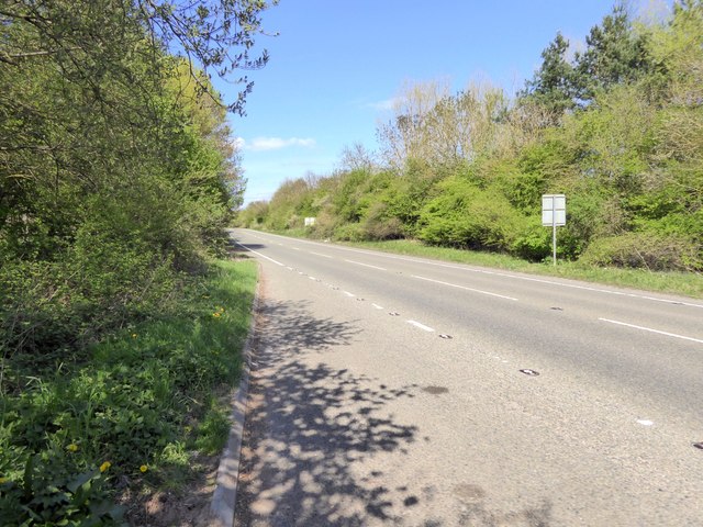
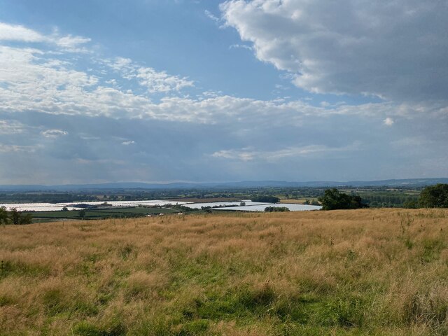
Brierley Wood Images

Images are sourced within 2km of 52.193166/-2.7453736 or Grid Reference SO4955. Thanks to Geograph Open Source API. All images are credited.

Coal train passing B4361at Ford Bridge
Hereford Road near Longmead
Arable land, Elms Green The square is not all Leominster bypass! This is a large arable area just above the floods along the Arrow. Winter planting means a lot of soil is exposed to winter rainfall and the rivers are now running red with lost soil. Nearby much of the land is under water with the A49 running along a causeway.
Arable land, Elms Green
The square is not all Leominster bypass! This is a large arable area just above the floods along the Arrow. Winter planting means a lot of soil is exposed to winter rainfall and the rivers are now running red with lost soil. Nearby much of the land is under water with the A49 running along a causeway.
Railway at Ford Bridge Taken from the footpath which crosses the line at this point. There used to be a proper level crossing here, but it was closed when the Leominster bypass (the road to the left of the shot) was opened. I missed a passing train, which would have added interest to this picture, by perhaps half a minute, which is entirely typical of my luck.
Railway at Ford Bridge
Taken from the footpath which crosses the line at this point. There used to be a proper level crossing here, but it was closed when the Leominster bypass (the road to the left of the shot) was opened. I missed a passing train, which would have added interest to this picture, by perhaps half a minute, which is entirely typical of my luck.
Ford Bridge railway station The old station at Ford, long closed and now used as a private residence. The old platform edge can just be made out in front of the house. The old and new alignments of the A49 can be seen running either side of the railway. The station was closed in 1954.
Ford Bridge railway station
The old station at Ford, long closed and now used as a private residence. The old platform edge can just be made out in front of the house. The old and new alignments of the A49 can be seen running either side of the railway. The station was closed in 1954.
Ford Bridge station house Another shot of the old railway station at Ford in Hereford (yes, the village is called Ford but the station was called Ford Bridge. I don't know why). Taken from the old A49, now a B road.
Ford Bridge station house
Another shot of the old railway station at Ford in Hereford (yes, the village is called Ford but the station was called Ford Bridge. I don't know why). Taken from the old A49, now a B road.
Row of birches Alongside the lane descending to Ford Bridge.
Row of birches
Alongside the lane descending to Ford Bridge.
River Lugg at Ford Bridge, 1 Looking north, upstream.
River Lugg at Ford Bridge, 1
Looking north, upstream.
River Lugg at Ford Bridge, 2 The A49 Leominster bypass, railway and old Hereford road squeeze into the gap made by the river.
River Lugg at Ford Bridge, 2
The A49 Leominster bypass, railway and old Hereford road squeeze into the gap made by the river.
Hereford Road Once the A49, this is still a busy road. It used to run through water meadows, now much of the land is either marshland (shown as a fishery on the map) or growing poplars.
Hereford Road
Once the A49, this is still a busy road. It used to run through water meadows, now much of the land is either marshland (shown as a fishery on the map) or growing poplars.
A49 looking north from lay-by near Wharton
Bridge over A49 carrying track to Wharton Court
Marsh, Elms Green Mapped as a fishery, there were once pools beyond a bund here and not long before that an ordinary field.  Now there are patches of marshy ground.
Marsh, Elms Green
Mapped as a fishery, there were once pools beyond a bund here and not long before that an ordinary field. Now there are patches of marshy ground.
Morgans Hill Trig Point Flush Bracket S7895
View from Morgans Hill Trig Point Flush Bracket S7895
Flood water at Ford Farm
Ford Church
Ford Church
Lane to Elms Green This lane joins Brierley and Elms Green.
Lane to Elms Green
This lane joins Brierley and Elms Green.
Show me another place!

Brierley Wood is located at Grid Ref: SO4955 (Lat: 52.193166, Lng: -2.7453736)

Unitary Authority: County of Herefordshire

Police Authority: West Mercia

What 3 Words

///reserving.moving.joyously. Near Hope under Dinmore, Herefordshire

Nearby Locations

Pervin Wood Brierley Wood

Related Wikis

Ivington Camp

Ivington Camp is an Iron Age hill fort located at Brierley, 3 km south of Leominster, Herefordshire. == Further reading == Children, G; Nash, G (1994)...

Ford Bridge railway station

Ford Bridge railway station was a station in Marlbrook, Herefordshire, England. The station was opened in 1854 and closed in 1954. After closure, the station...

Broadward, Herefordshire

Broadward is a hamlet in Herefordshire, England. It is situated approximately 1 mile (1.6 km) south of the town of Leominster, on the B4361 road (Hereford...

Marlbrook, Herefordshire

Marlbrook is an industrial and business park on the borders of and split between the civil parishes of Hope under Dinmore and Newton, in Herefordshire...

Have you been to Brierley Wood?

Leave your review of Brierley Wood below (or comments, questions and feedback).