Barbridge Coppice
Wood, Forest in Dorset
England
Barbridge Coppice
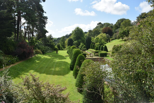
Barbridge Coppice is a picturesque woodland located in the county of Dorset, England. Situated in the heart of the county, it spans an area of approximately 50 hectares and is an important natural habitat in the region. The coppice is predominantly made up of a diverse range of deciduous trees, including oak, beech, ash, and hazel, creating a rich and varied woodland ecosystem.
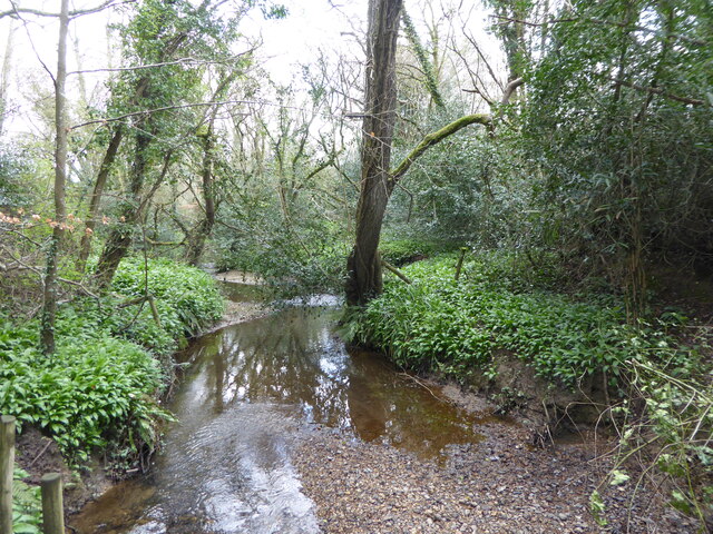
The woodland is characterized by its dense canopy, which provides a sheltered and shaded environment for a wide variety of flora and fauna. The forest floor is covered in a thick carpet of mosses, ferns, and wildflowers, adding to the vibrant and enchanting atmosphere of the coppice. These plants attract a range of wildlife, including deer, foxes, badgers, and numerous species of birds, making it a popular spot for nature enthusiasts and birdwatchers.
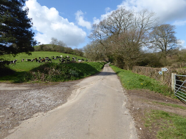
Barbridge Coppice is also a valuable resource for local communities. It has a long history of traditional woodland management techniques, such as coppicing, which involves cutting trees at ground level to encourage new growth and maintain a sustainable supply of timber. This practice has been carried out in the coppice for centuries and has contributed to its unique character and biodiversity.
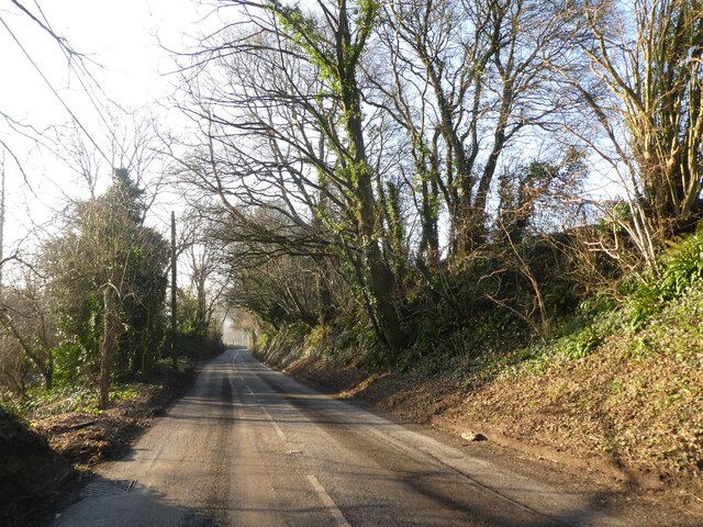
The woodland is accessible to the public and offers a network of well-maintained footpaths and trails, allowing visitors to explore its beauty at their leisure. It is a tranquil and peaceful place, ideal for walking, picnicking, and immersing oneself in nature. Barbridge Coppice truly showcases the beauty and diversity of Dorset's natural landscapes and is a haven for both wildlife and humans alike.
If you have any feedback on the listing, please let us know in the comments section below.
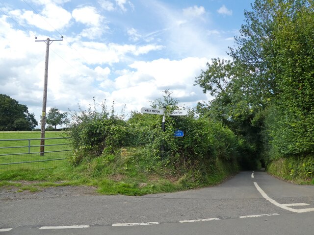
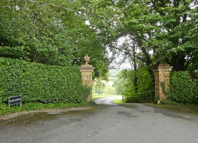
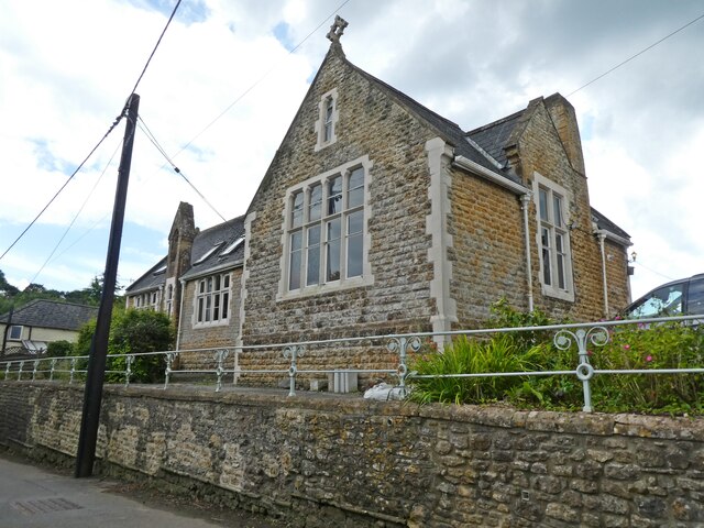
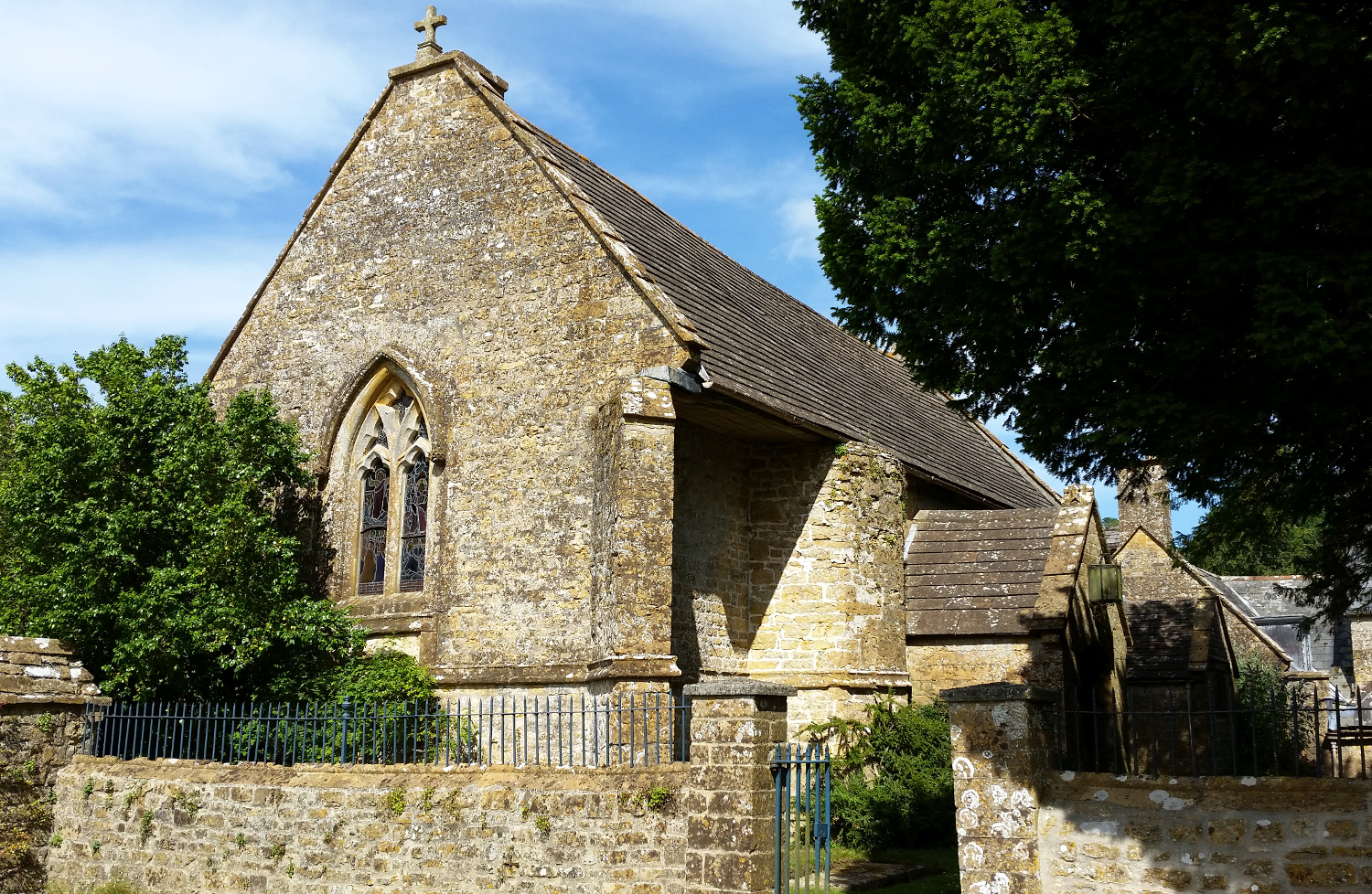
Barbridge Coppice Images
Images are sourced within 2km of 50.787086/-2.7242437 or Grid Reference SY4998. Thanks to Geograph Open Source API. All images are credited.


Barbridge Coppice is located at Grid Ref: SY4998 (Lat: 50.787086, Lng: -2.7242437)
Unitary Authority: Dorset
Police Authority: Dorset
What 3 Words
///framework.choirs.nation. Near Beaminster, Dorset
Nearby Locations
Related Wikis

Melplash
Melplash is a village in western Dorset, England. It is situated on the A3066 road 3 miles (4.8 km) north of Bridport and 2 miles (3.2 km) south of Beaminster...
Christ Church, Melplash
Christ Church is a Church of England church in Melplash, Dorset, England. It was built in 1845–46 to the designs of Benjamin Ferrey and has been a Grade...
All Saints' Church, Mapperton
All Saints' Church is a private church, formerly belonging to the Church of England, in Mapperton, Dorset, England. The church is believed to have 12th...

Mapperton
Mapperton is a hamlet and civil parish in Dorset, England, 3 miles (4.8 km) south-east of Beaminster. Dorset County Council estimated that the population...

Parnham House
Parnham House is a sixteenth-century Grade I listed house located about 1 mile (1.6 km) from Beaminster in Dorset, England. Historic England describes...

Oxbridge, Dorset
Oxbridge is a hamlet in the English county of Dorset. It lies on the River Brit between Bridport and Beaminster. == External links == Map sources for...

Netherbury
Netherbury is a village and civil parish in the English county of Dorset. It lies within the Dorset Council administrative area, by the small River Brit...
Beaminster
Beaminster ( BEM-in-stər) is a town and civil parish in Dorset, England, situated in the Dorset Council administrative area approximately 15 miles (24...
Nearby Amenities
Located within 500m of 50.787086,-2.7242437Have you been to Barbridge Coppice?
Leave your review of Barbridge Coppice below (or comments, questions and feedback).