Collett's Br
Settlement in Cambridgeshire Fenland
England
Collett's Br
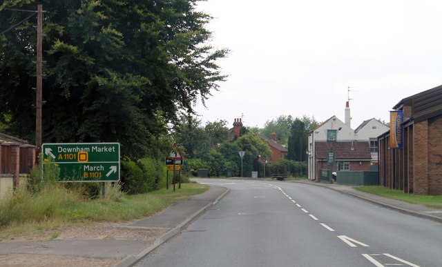
Collett's Br is a small village located in the county of Cambridgeshire, England. It is situated approximately 8 miles west of the city of Cambridge, making it a popular residential area for those looking for a peaceful and rural setting while still having easy access to urban amenities.
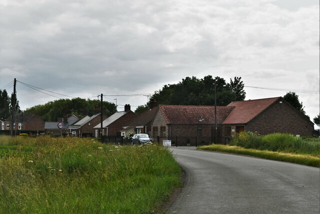
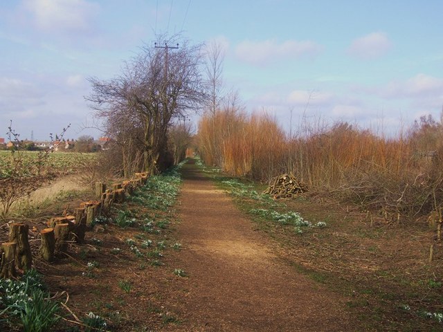
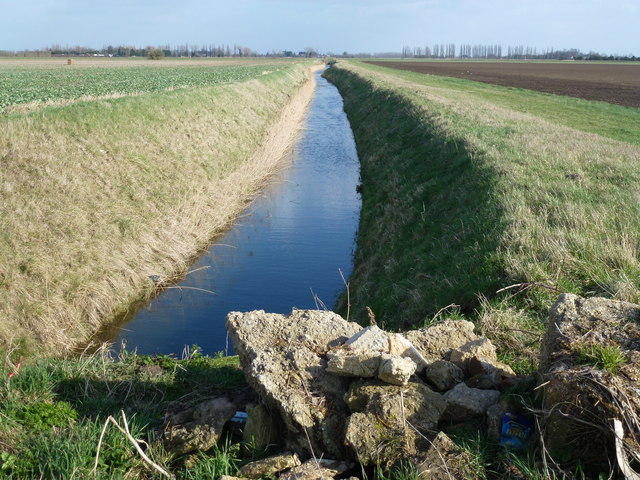
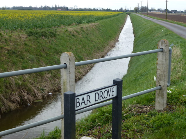
The village is known for its picturesque surroundings, with rolling countryside, lush green fields, and charming country lanes. It is surrounded by several other small villages, creating a close-knit community atmosphere where residents often engage in social activities and community events.
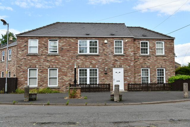
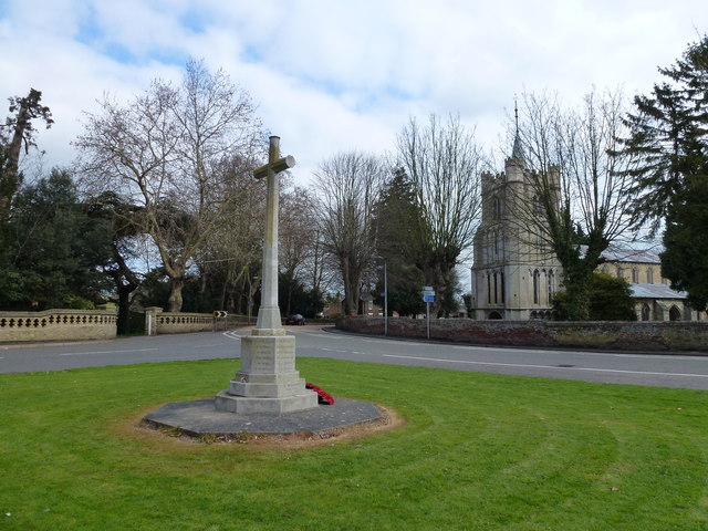
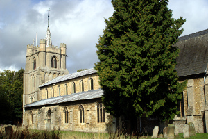
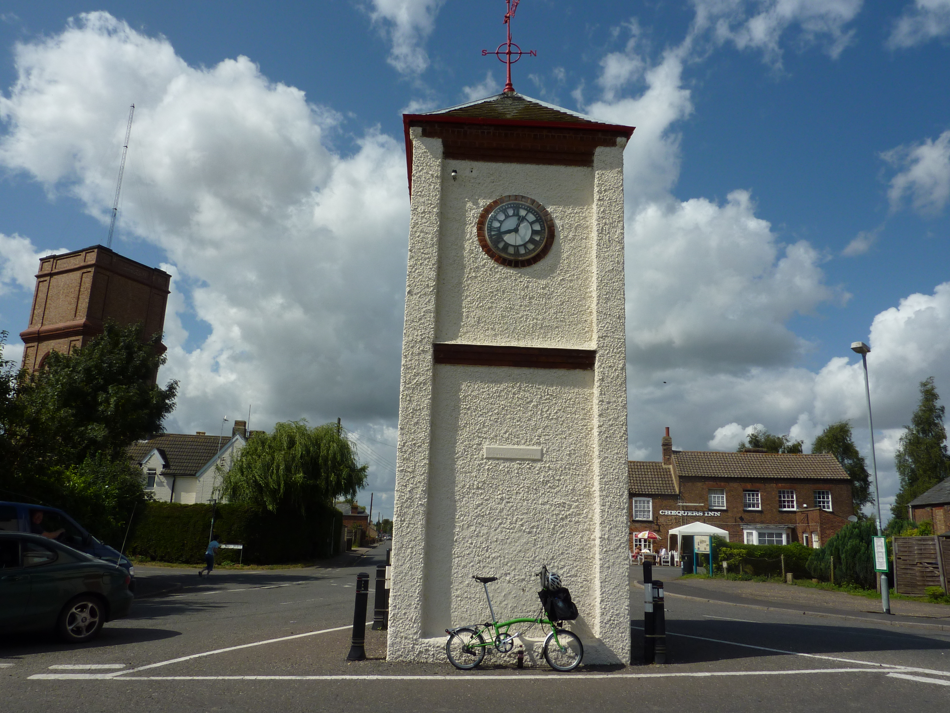
Collett's Br has a rich history, with evidence of settlements dating back to Roman times. The village has several historic buildings, including a Grade II listed church, which adds to its quaint and traditional character.
Despite its small size, the village offers some amenities to its residents. These include a local pub, offering a place for locals to gather and enjoy a pint, as well as a small village hall that hosts various events and gatherings throughout the year.
For those seeking outdoor activities, Collett's Br is surrounded by beautiful countryside, ideal for walking, cycling, and exploring nature. The village also benefits from its proximity to the River Cam, offering opportunities for boating and fishing.
Overall, Collett's Br is a charming and idyllic village, providing a peaceful and scenic setting for its residents, while still being conveniently located near the bustling city of Cambridge.
If you have any feedback on the listing, please let us know in the comments section below.
Collett's Br Images
Images are sourced within 2km of 52.631579/0.18539377 or Grid Reference TF4806. Thanks to Geograph Open Source API. All images are credited.


Collett's Br is located at Grid Ref: TF4806 (Lat: 52.631579, Lng: 0.18539377)
Division: Isle of Ely
Administrative County: Cambridgeshire
District: Fenland
Police Authority: Cambridgeshire
What 3 Words
///forkful.chew.verve. Near Emneth, Norfolk
Nearby Locations
Related Wikis
Elm, Cambridgeshire
Elm is a village and civil parish in the Fenland District of Cambridgeshire, England. In Domesday, it is called Helle.The village is about 11⁄2 miles or...

Collett's Bridge
Collett's Bridge is a hamlet within the parish of Elm in the Isle of Ely, Cambridgeshire, England. It is situated on the eastern boundary of the district...

Elmbridge railway station
Elmbridge railway station was a stop on the Wisbech and Upwell Tramway. It was in a projection of the parish of Emneth, Norfolk but was immediately south...
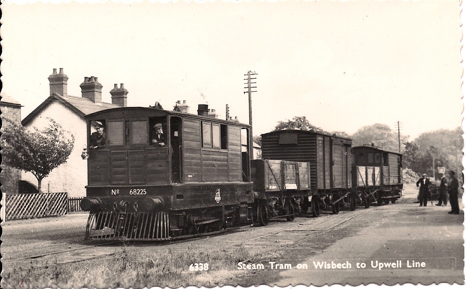
Wisbech and Upwell Tramway
The Wisbech and Upwell Tramway was a rural standard gauge tramway in East Anglia. It was built by the Great Eastern Railway between Wisbech, Isle of Ely...
Boyces Bridge railway station
Boyces Bridge railway station was a station in Norfolk on the Wisbech and Upwell Tramway commonly known as the Upwell Tramway. It was located north of...
Friday Bridge, Cambridgeshire
Friday Bridge is a village in the civil parish of Elm, in the Fenland district of Cambridgeshire, England. It is 3 miles south of Wisbech. In 2021 it had...

Emneth
Emneth is a village and civil parish in the English county of Norfolk. The village is located 2.9 miles (4.7 km) south-east of Wisbech, 12 miles (19 km...
Outwell Basin railway station
Outwell Basin railway station was a stop on the Wisbech and Upwell Tramway in Outwell, Norfolk. It opened in 1883 carrying passenger and goods traffic...
Nearby Amenities
Located within 500m of 52.631579,0.18539377Have you been to Collett's Br?
Leave your review of Collett's Br below (or comments, questions and feedback).