Anne's Wood

Wood, Forest in Somerset South Somerset

England

Anne's Wood

Old Fingerpost, West Coker Hill / A30 At the junction of Collarway Lane, West Coker Hill and the A30 slip road and the bridge over the A30. An image of the makers' Inscription is <a href="https://www.geograph.org.uk/photo/7259440">ST5013 : Old Fingerpost, West Coker Hill / above A30</a>.
The context view is <a href="https://www.geograph.org.uk/photo/1180072">ST5013 : Near Coker Hill Bridge</a>.

Inscription: 1 West Coker // 1 Hardington // 
(on post) Somerset // Sheldon Wells

Milestone Society National ID: SO_ST5013A
Old Fingerpost, West Coker Hill / A30 Credit: Mr Red

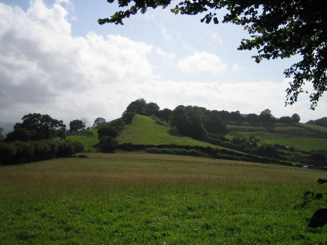
Anne's Wood is a picturesque woodland located in Somerset, England. Spanning over an area of approximately 50 acres, this enchanting forest is often described as a hidden gem in the region. The wood is named after Anne, a local resident who was passionate about preserving the natural beauty of the area.

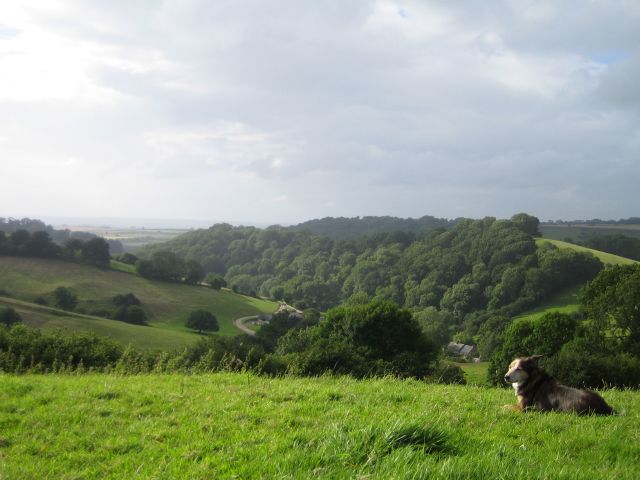
Anne's Wood boasts a diverse range of tree species, including oak, beech, and birch, which create a stunning tapestry of colors throughout the seasons. The forest floor is blanketed with an array of wildflowers, adding to its idyllic charm. The wood is home to a variety of wildlife, including deer, foxes, and numerous species of birds, making it a popular spot for nature enthusiasts and birdwatchers.

The wood offers a network of well-maintained walking trails, allowing visitors to explore its beauty at their own pace. These paths wind through the dense foliage, providing a tranquil and peaceful atmosphere. Along the way, there are strategically placed benches where visitors can rest and take in the serene surroundings.

Anne's Wood is also a haven for outdoor activities such as picnicking and photography. The dappled sunlight filtering through the canopy creates the perfect lighting for capturing breathtaking shots. With its secluded atmosphere and natural beauty, the wood provides an ideal escape from the hustle and bustle of everyday life.

Overall, Anne's Wood is a stunning forest that offers a respite from the modern world. Its rich biodiversity, well-maintained trails, and peaceful ambiance make it a must-visit destination for nature lovers and those seeking a tranquil retreat in the heart of Somerset.

If you have any feedback on the listing, please let us know in the comments section below.
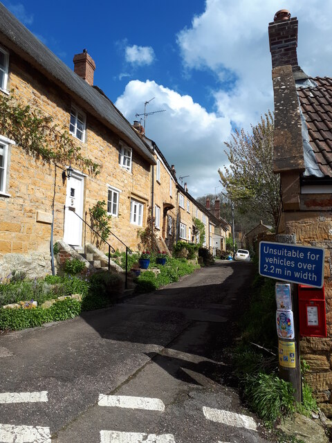
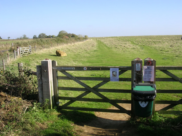
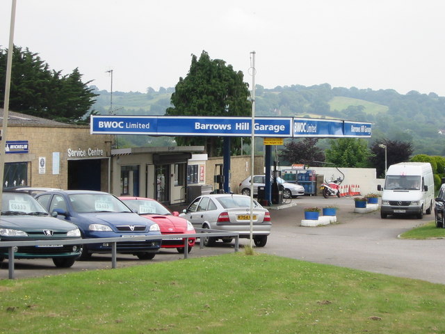
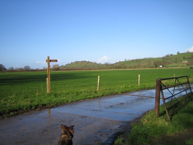
Anne's Wood Images

Images are sourced within 2km of 50.926935/-2.7292881 or Grid Reference ST4814. Thanks to Geograph Open Source API. All images are credited.

Old Fingerpost, West Coker Hill / A30 At the junction of Collarway Lane, West Coker Hill and the A30 slip road and the bridge over the A30. An image of the makers' Inscription is <a href="https://www.geograph.org.uk/photo/7259440">ST5013 : Old Fingerpost, West Coker Hill / above A30</a>.
The context view is <a href="https://www.geograph.org.uk/photo/1180072">ST5013 : Near Coker Hill Bridge</a>.

Inscription: 1 West Coker // 1 Hardington // 
(on post) Somerset // Sheldon Wells

Milestone Society National ID: SO_ST5013A
Old Fingerpost, West Coker Hill / A30
At the junction of Collarway Lane, West Coker Hill and the A30 slip road and the bridge over the A30. An image of the makers' Inscription is ST5013 : Old Fingerpost, West Coker Hill / above A30. The context view is ST5013 : Near Coker Hill Bridge. Inscription: 1 West Coker // 1 Hardington // (on post) Somerset // Sheldon Wells Milestone Society National ID: SO_ST5013A
Old Milestone, West Coker / A30 On the NW side of the A30 in a cutting. Near the bridge carrying the West Coker Hill / Collarway Lane road. It is difficult to get to on foot, the verges are slight and the cutting long, under the bridge non-existent verges. This image was taken from a slow moving vehicle. 

Inscription: IV / Yeovil

Grade II listed see <span class="nowrap"><a title="https://historicengland.org.uk/listing/the-list/list-entry/1417785" rel="nofollow ugc noopener" href="https://historicengland.org.uk/listing/the-list/list-entry/1417785">Link</a><img style="margin-left:2px;" alt="External link" title="External link - shift click to open in new window" src="https://s1.geograph.org.uk/img/external.png" width="10" height="10"/></span>

Milestone Society National ID: SO_YVCW04
Old Milestone, West Coker / A30
On the NW side of the A30 in a cutting. Near the bridge carrying the West Coker Hill / Collarway Lane road. It is difficult to get to on foot, the verges are slight and the cutting long, under the bridge non-existent verges. This image was taken from a slow moving vehicle. Inscription: IV / Yeovil Grade II listed see LinkExternal link Milestone Society National ID: SO_YVCW04
Old Boundary Stone, West Coker / East Chinnock A curious broken stone. This was lying exactly at the position of a boundary stone (on maps up to 1962). The inscription could be interpreted signifying a "county" stone, marking the extent of responsibility for the bridge if it was C / YHD (Yeovil Hundred Division).

Inscription: C / YHI

Milestone Society National ID: SO_WCOECH01pb
Old Boundary Stone, West Coker / East Chinnock
A curious broken stone. This was lying exactly at the position of a boundary stone (on maps up to 1962). The inscription could be interpreted signifying a "county" stone, marking the extent of responsibility for the bridge if it was C / YHD (Yeovil Hundred Division). Inscription: C / YHI Milestone Society National ID: SO_WCOECH01pb
Old Fingerpost, West Coker Hill / above A30 At the junction of Collarway Lane, West Coker Hill and the A30 slip road and the bridge over the A30. The view of the fingers is <a href="https://www.geograph.org.uk/photo/7253471">ST5013 : Old Fingerpost, West Coker Hill / A30</a>.
Old Fingerpost, West Coker Hill / above A30
At the junction of Collarway Lane, West Coker Hill and the A30 slip road and the bridge over the A30. The view of the fingers is ST5013 : Old Fingerpost, West Coker Hill / A30.
East Street Chiselborough
Gate into a field on Butcher's Hill The southeastern part of the massive Hamdon hillfort is known as Butcher's Hill, this view is of a field to the south of the road that runs through the interior of the hillfort. The area is popular with dog-walkers, and the various signs on this gate warn about sheep worrying and the possible consequences of not cleaning up after your dog.
Gate into a field on Butcher's Hill
The southeastern part of the massive Hamdon hillfort is known as Butcher's Hill, this view is of a field to the south of the road that runs through the interior of the hillfort. The area is popular with dog-walkers, and the various signs on this gate warn about sheep worrying and the possible consequences of not cleaning up after your dog.
St. Margaret, Middle Chinnock
Barrows Hill Garage Barrows Hill Garage, East Chinnock - On the A30
Barrows Hill Garage
Barrows Hill Garage, East Chinnock - On the A30
Fields Fields at Eastfield Farm. Balham Hill on the horizon.
Fields
Fields at Eastfield Farm. Balham Hill on the horizon.
Oak tree Ham Hill country park
St Mary's Church - East Chinnock
Brympton Hill Brympton Hill as seen from Smoky Hole Lane.
Brympton Hill
Brympton Hill as seen from Smoky Hole Lane.
Odcombe Tip The flat field to the left of the trees is part of the Odcombe landfill site. Now all green and pleasant, well on the surface anyway!
Odcombe Tip
The flat field to the left of the trees is part of the Odcombe landfill site. Now all green and pleasant, well on the surface anyway!
Bagnell Farm From Chiselborough Hill
Bagnell Farm
From Chiselborough Hill
View from Hocker's Hill Hocker's Hill is a restricted byway (Y20/62) followed by about three long-distance footpaths. It offers tantalising glimpses of this attractive valley. The stream drains into the River Parrett.
View from Hocker's Hill
Hocker's Hill is a restricted byway (Y20/62) followed by about three long-distance footpaths. It offers tantalising glimpses of this attractive valley. The stream drains into the River Parrett.
Lane Down From Pease Hill The photograph does not do justice to the steepness of this hill,
absolutely wonderful freewheeling on a bike. The village of
Chiselborough lies in a valley on the left of this lane.
Lane Down From Pease Hill
The photograph does not do justice to the steepness of this hill, absolutely wonderful freewheeling on a bike. The village of Chiselborough lies in a valley on the left of this lane.
Ham Hill Road This lane descends quite steeply down the side of Ham Hill to
the hamlet of Little Norton. The O.S.Explorer map 129 shows a
cattle grid at the bottom of the hill but this has been removed.
Ham Hill Road
This lane descends quite steeply down the side of Ham Hill to the hamlet of Little Norton. The O.S.Explorer map 129 shows a cattle grid at the bottom of the hill but this has been removed.
Chiselborough A roofscape of Chiselborough taken from
Chiselborough Common.
Chiselborough
A roofscape of Chiselborough taken from Chiselborough Common.
Show me another place!

Anne's Wood is located at Grid Ref: ST4814 (Lat: 50.926935, Lng: -2.7292881)

Administrative County: Somerset

District: South Somerset

Police Authority: Avon and Somerset

What 3 Words

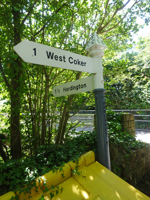
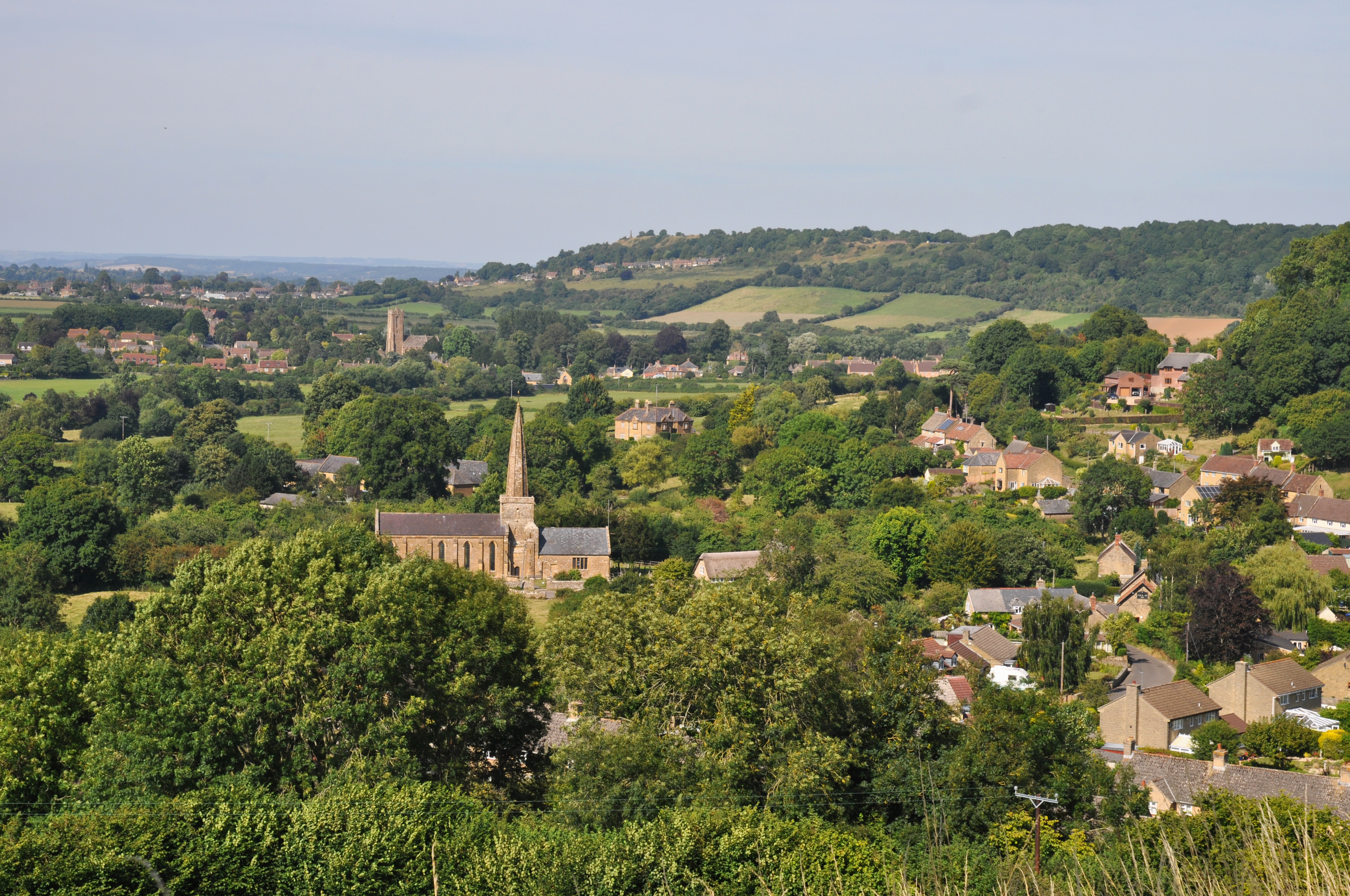
///glides.states.ironclad. Near West Coker, Somerset

Related Wikis

Tinker's Bubble

Tinker's Bubble is an intentional community located at Norton Covert in Little Norton near Yeovil in south Somerset, England. It was established in 1994...

East Chinnock

East Chinnock is a village and civil parish in Somerset, England, on the A30 road 4 miles (6.4 km) south west of Yeovil, both in the South Somerset district...

The Chinnocks

The Chinnocks are three villages in Somerset, England, south west of Yeovil in the South Somerset district: East Chinnock Middle Chinnock West ChinnockThe...

Chiselborough

Chiselborough is a village in the South Somerset district of Somerset, England. It is situated on the River Parrett, 5 miles (8 km) west of Yeovil, and...

Middle Chinnock

Middle Chinnock is a village in the civil parish of West and Middle Chinnock, in Somerset, England, 3 miles (4.8 km) north east of Crewkerne. It lies 0...

Odcombe

Odcombe is a village and civil parish in south Somerset, England, 3 miles (4.8 km) west of the town of Yeovil, with a population of 759 in 2011.The upper...

Church of St Margaret, Middle Chinnock

The Anglican Church of St Margaret in Middle Chinnock, Somerset, England was built in the 12th century. It is a Grade II* listed building. == History... ==

Church of St Peter and St Paul, Odcombe

The Anglican Church of St Peter and St Paul in Odcombe, Somerset, England was built in the 13th century. It is a Grade II* listed building. == History... ==

Nearby Amenities

Located within 500m of 50.926935,-2.7292881
Artwork Type: sculpture
Material: stone
Tourism: artwork
Lat/Long: 50.9299236/-2.7305872
The data included in this document is from www.openstreetmap.org. The data is made available under ODbL.

Have you been to Anne's Wood?

Leave your review of Anne's Wood below (or comments, questions and feedback).