Collessie

Settlement in Fife

Scotland

Collessie

Pathcondie from Monimail Looking north-westwards up the hill from Monimail towards Pathcondie.
Pathcondie from Monimail Credit: Scott Cormie

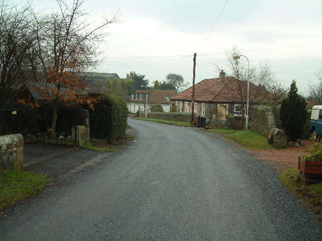
Collessie is a small village located in the county of Fife, Scotland. Situated approximately 10 miles west of Cupar, it rests in the heart of the picturesque countryside. With a population of around 300 residents, Collessie is a close-knit community that offers a peaceful and idyllic setting.

The village is renowned for its rich history, dating back several centuries. It is home to a number of historical landmarks, including Collessie Church, a charming 19th-century building that still holds regular services. The nearby Collessie Steadings, a collection of converted farm buildings, now serve as residential properties, adding to the village's character.

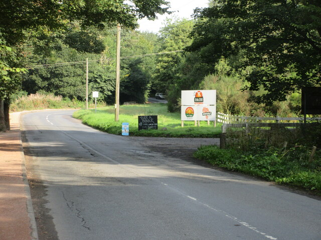
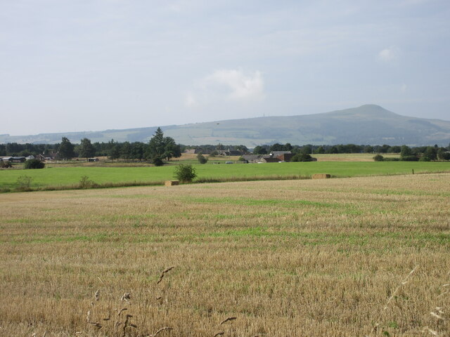
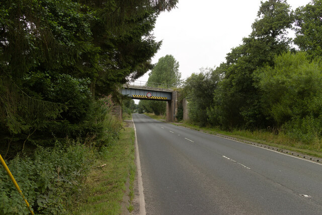
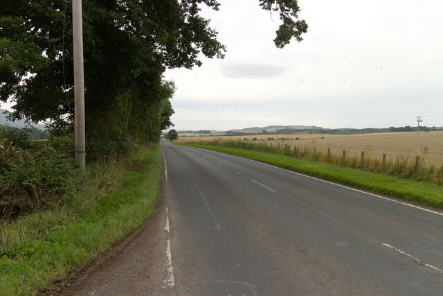
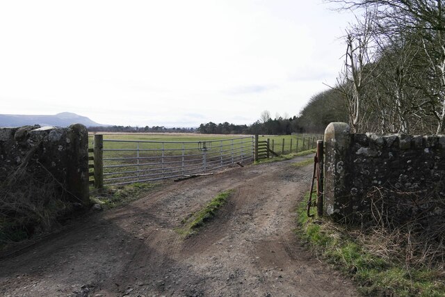
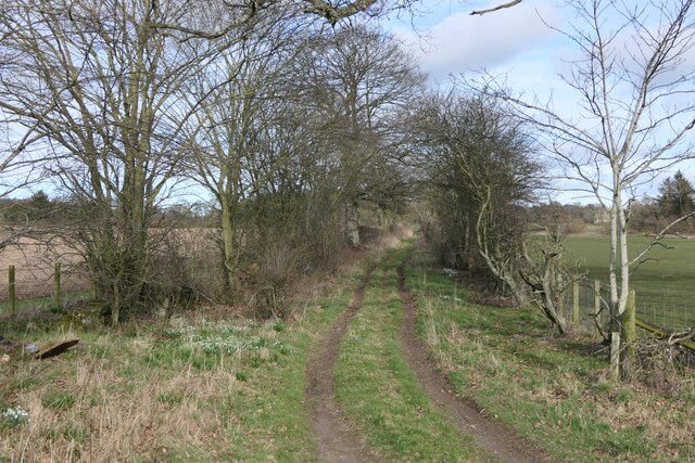
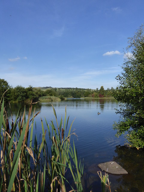
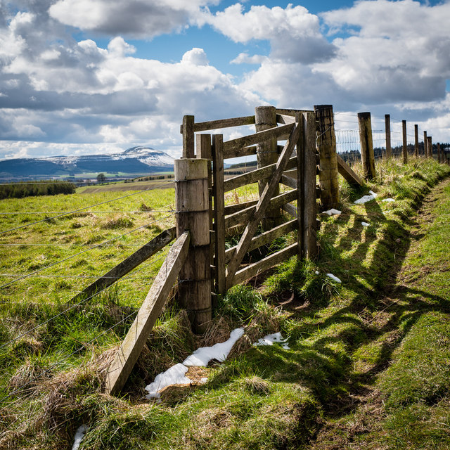
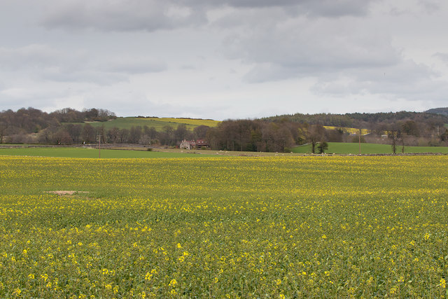
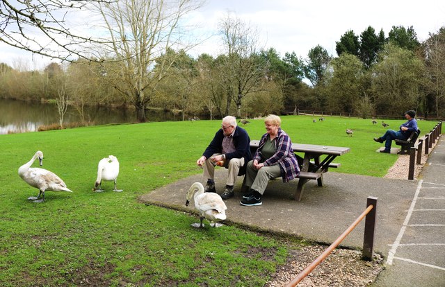
The surrounding countryside of Collessie boasts stunning scenery, with rolling hills, lush green fields, and winding country roads. It is a popular destination for outdoor enthusiasts, offering ample opportunities for walking, cycling, and horse riding. The nearby Collessie Woods provides a beautiful backdrop for leisurely strolls and nature exploration.

Despite its small size, Collessie is not lacking in amenities. The village has a primary school, a community hall, and a local pub, which serves as a central hub for socializing and events. Additionally, the village is conveniently located within easy reach of larger towns and cities, with Cupar and Dundee just a short drive away.

Overall, Collessie offers a tranquil and friendly environment, ideal for those seeking a peaceful rural lifestyle. Its historical charm, natural beauty, and strong sense of community make it a truly special place to live or visit.

If you have any feedback on the listing, please let us know in the comments section below.

Collessie Images

Images are sourced within 2km of 56.304001/-3.163447 or Grid Reference NO2813. Thanks to Geograph Open Source API. All images are credited.

Pathcondie from Monimail Looking north-westwards up the hill from Monimail towards Pathcondie.
Pathcondie from Monimail
Looking north-westwards up the hill from Monimail towards Pathcondie.
Bales near Halhill Looking south-west to a field of paired bales near Halhill, with East Lomond in the distance to the right.
Bales near Halhill
Looking south-west to a field of paired bales near Halhill, with East Lomond in the distance to the right.
Tower of Collessie Church A distant view from the north-east of the tower of Collessie Parish Church, with East Lomond beyond.
Tower of Collessie Church
A distant view from the north-east of the tower of Collessie Parish Church, with East Lomond beyond.
B937 at Fife Zoo The B937 heading north at the entrance to Fife Zoo.
B937 at Fife Zoo
The B937 heading north at the entrance to Fife Zoo.
Fields near Stonybriggs Looking south-westwards to fields near Stonybriggs, with East Lomond in the distance to the right.
Fields near Stonybriggs
Looking south-westwards to fields near Stonybriggs, with East Lomond in the distance to the right.
Railway bridge over the A91
The A91 near Lizziewells and Drumley
Entrance to Rossie House Gateposts to Rossie House. There is an Ordnance Survey benchmark on the right hand gatepost. See <a href="https://www.geograph.org.uk/photo/7430102">NO2711 : Benchmark on gatepost to Rossie House</a>.
Entrance to Rossie House
Gateposts to Rossie House. There is an Ordnance Survey benchmark on the right hand gatepost. See NO2711 : Benchmark on gatepost to Rossie House.
Track to Drumley
Track to Drumley
Sign to Backhouse Rossie Estate
Benchmark on gatepost to Rossie House Ordnance Survey benchmark, described on database at <span class="nowrap"><a title="https://www.bench-marks.org.uk/bm187340" rel="nofollow ugc noopener" href="https://www.bench-marks.org.uk/bm187340">Link</a><img style="margin-left:2px;" alt="External link" title="External link - shift click to open in new window" src="https://s1.geograph.org.uk/img/external.png" width="10" height="10"/></span>. See also <a href="https://www.geograph.org.uk/photo/7429916">NO2711 : Entrance to Rossie House</a>.
Benchmark on gatepost to Rossie House
Ordnance Survey benchmark, described on database at LinkExternal link. See also NO2711 : Entrance to Rossie House.
Crested porcupines at Fife Zoo The small zoo off the B937 is affordable to visit and ideal for younger children.
Crested porcupines at Fife Zoo
The small zoo off the B937 is affordable to visit and ideal for younger children.
Ring-tailed lemurs, Fife Zoo This is a 'walk through' enclosure to get close to these intriguing primates, who seem indifferent to humans.    They are judged to be 'endangered' in the wild due to habitat destruction.
Ring-tailed lemurs, Fife Zoo
This is a 'walk through' enclosure to get close to these intriguing primates, who seem indifferent to humans. They are judged to be 'endangered' in the wild due to habitat destruction.
Birnie Loch One of two small lochs making up the Birnie and Gaddon Nature Reserve
Birnie Loch
One of two small lochs making up the Birnie and Gaddon Nature Reserve
Gate on Collessie to Lindores Loch path This path, not shown on the OS maps of the area, connects Collessie to Lindores Loch and is one of the way marked Fife Corepaths. West Lomond Hill is in the background, approximately 7 miles away as the crow flies
Gate on Collessie to Lindores Loch path
This path, not shown on the OS maps of the area, connects Collessie to Lindores Loch and is one of the way marked Fife Corepaths. West Lomond Hill is in the background, approximately 7 miles away as the crow flies
View over Birnie Loch Birnie Loch, a flooded gravel pit, now a nature reserve near Collessie in Fife.
View over Birnie Loch
Birnie Loch, a flooded gravel pit, now a nature reserve near Collessie in Fife.
Farmland near Collessie Acres of oil seed rape under cultivation near Collessie in Fife - not quite in flower on May Day 2016.
Farmland near Collessie
Acres of oil seed rape under cultivation near Collessie in Fife - not quite in flower on May Day 2016.
Feeding the swans At Birnie Loch in Fife these mute swans (Cygnus olor) are last year's cygnets not yet in full adult colour <span class="nowrap"><a title="https://en.wikipedia.org/wiki/Birnie_Loch" rel="nofollow ugc noopener" href="https://en.wikipedia.org/wiki/Birnie_Loch">Link</a><img style="margin-left:2px;" alt="External link" title="External link - shift click to open in new window" src="https://s1.geograph.org.uk/img/external.png" width="10" height="10"/></span>
Feeding the swans
At Birnie Loch in Fife these mute swans (Cygnus olor) are last year's cygnets not yet in full adult colour LinkExternal link
Show me another place!

Collessie is located at Grid Ref: NO2813 (Lat: 56.304001, Lng: -3.163447)

Unitary Authority: Fife

Police Authority: Fife

What 3 Words

///agents.property.sparkles. Near Ladybank, Fife

Related Wikis

Collessie railway station

Collessie railway station served the village of Collessie, Fife, Scotland from 1847 to 1955 on the Edinburgh and Northern Railway. == History == The station...
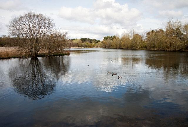
Birnie Loch

Birnie Loch is located in North East Fife, Scotland, adjacent to the crossroads between the A91 and B937 roads. It is entirely artificial in nature, being...

Collessie

Collessie is a village and parish of Fife, Scotland. The village is set on a small hillock centred on a historic church. Due to rerouting of roads, it...

Melville House

Melville House is a 1697 house that lies to the south side of the Palace of Monimail near Collessie in Fife, Scotland. It has been a school and a training...
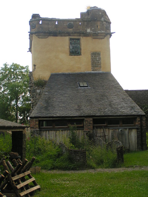
Palace of Monimail

The Palace of Monimail, also known as Monimail Tower, was a Renaissance palace in Fife, Scotland. A residence of the Archbishops of St Andrews from the...

Cairnie Hill

Cairnie Hill lies at the eastern end of the Ochil Hills, above the village of Collessie Scotland. It is the highest point of a small upland area between...

Letham, Fife

Letham is a small village in Fife, Scotland, located just off the A92, around 5 miles from Cupar. According to the 2001 Census, Letham has 138 residents...

Secret Garden (outdoor nursery)

The Secret Garden is an outdoor nursery school in Letham, Fife, Scotland, for children aged 3–7 years. It is a forest kindergarten in which children walk...

Nearby Amenities

Located within 500m of 56.304001,-3.163447
Trafalgar Junction
Junction: yes
Lat/Long: 56.3036181/-3.1631401
Trafalgar Junction
Junction: yes
Lat/Long: 56.3035095/-3.1620306
Power: pole
Lat/Long: 56.3033581/-3.1704035
Power: pole
Lat/Long: 56.3035796/-3.1691356
Material: wood
Power: pole
Lat/Long: 56.3037988/-3.167876
Power: pole
Lat/Long: 56.3040168/-3.1666185
Power: pole
Lat/Long: 56.3041855/-3.1656257
Power: pole
Lat/Long: 56.3043622/-3.1646081
Power: pole
Lat/Long: 56.3043415/-3.164091
Power: pole
Lat/Long: 56.3043232/-3.163638
Power: pole
Lat/Long: 56.3042773/-3.1623308
Power: pole
Lat/Long: 56.3042394/-3.1612077
Power: pole
Lat/Long: 56.3042084/-3.1602997
Power: pole
Lat/Long: 56.3041648/-3.159129
Power: pole
Lat/Long: 56.3041155/-3.1577867
Power: pole
Lat/Long: 56.3040615/-3.1564919
Power: pole
Lat/Long: 56.3038183/-3.1632678
Collessie
Historic Railway: station
Railway: site
Wikidata: Q54869837
Wikipedia: en:Collessie railway station
Lat/Long: 56.3062698/-3.1573079
Colour: black
Disused Amenity: post_box
Disused Operator: Royal Mail
Manufacturer: W.T.Allen & Co. London
Post Box Mounting: stone_wall
Post Box Type: wall
Royal Cypher: GR
Source: survey
Lat/Long: 56.303655/-3.1627371
The data included in this document is from www.openstreetmap.org. The data is made available under ODbL.

Have you been to Collessie?

Leave your review of Collessie below (or comments, questions and feedback).