Ash Spring
Wood, Forest in Westmorland South Lakeland
England
Ash Spring
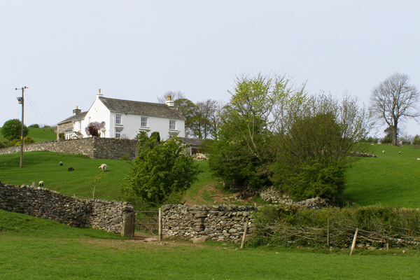
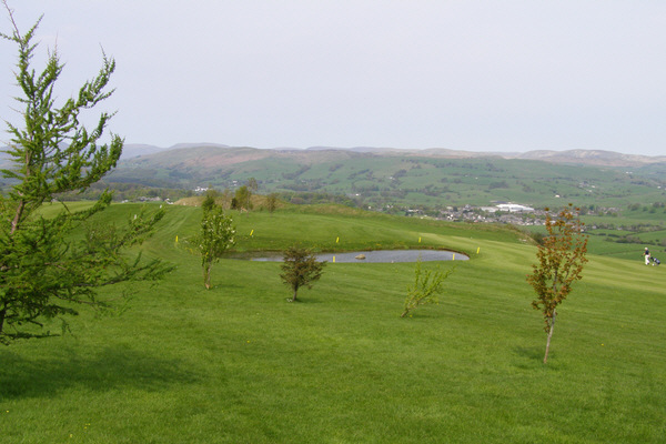
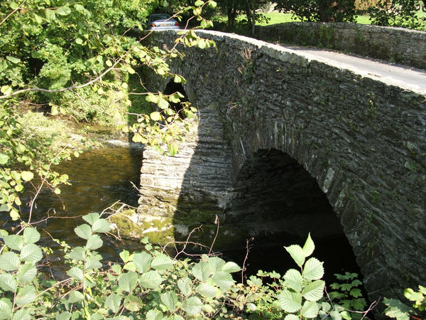
Ash Spring is a small woodland area located in the district of Westmorland, known for its picturesque and serene atmosphere. It is situated in the northwestern region of England, surrounded by rolling hills and lush greenery. The forest is named after the abundance of ash trees that dominate the landscape, creating a dense canopy overhead.
Covering an area of approximately 50 acres, Ash Spring is home to a diverse range of flora and fauna. The forest floor is covered in a carpet of vibrant wildflowers, providing a burst of color during the spring and summer months. The tranquil atmosphere is further enhanced by the soothing sound of a nearby spring that flows through the woods, adding to the natural beauty of the surroundings.
The woodland serves as a habitat for various species of birds, including woodpeckers, thrushes, and owls. It is also home to small mammals such as squirrels, rabbits, and hedgehogs. The abundance of wildlife attracts nature enthusiasts and birdwatchers, who visit the area to observe and appreciate the diverse ecosystem.
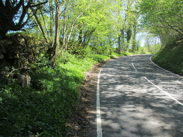
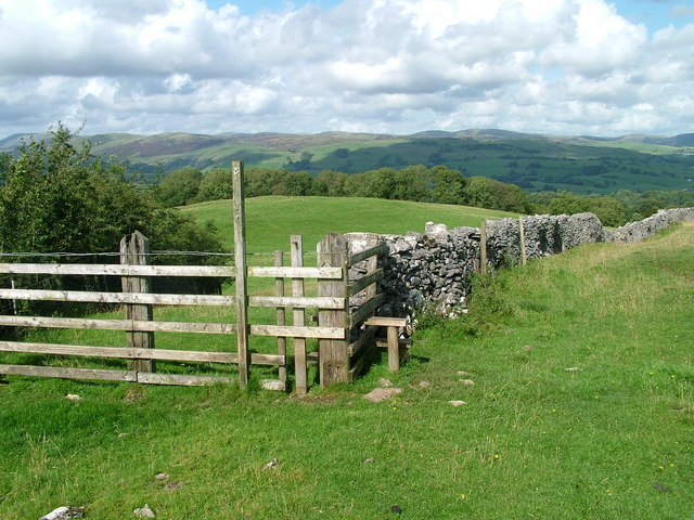
Ash Spring offers several walking trails and paths that meander through the woods, allowing visitors to explore and immerse themselves in the peaceful ambiance. These trails offer stunning views of the surrounding countryside and provide opportunities for nature photography and wildlife spotting.
Overall, Ash Spring in Westmorland is a haven for nature lovers, offering a retreat from the hustle and bustle of city life. It serves as a reminder of the beauty and tranquility that can be found in the English countryside.
If you have any feedback on the listing, please let us know in the comments section below.
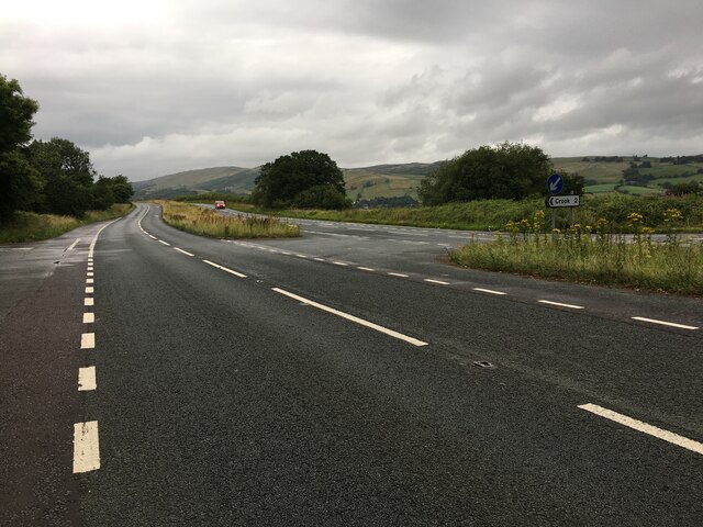
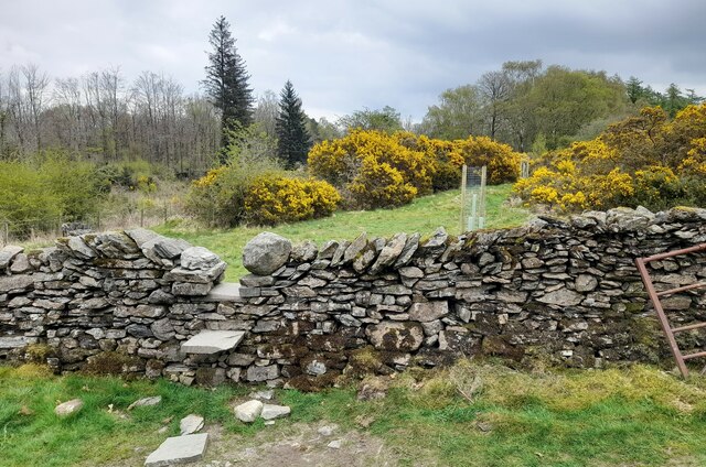
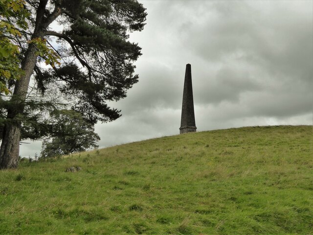
Ash Spring Images
Images are sourced within 2km of 54.339832/-2.7893744 or Grid Reference SD4894. Thanks to Geograph Open Source API. All images are credited.


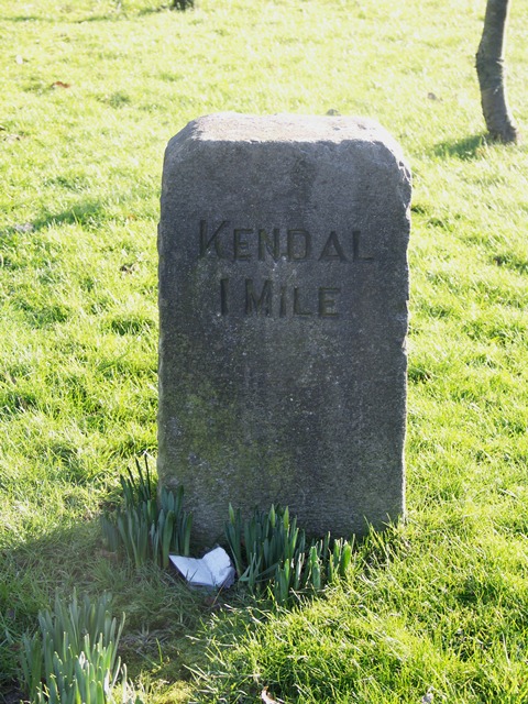


Ash Spring is located at Grid Ref: SD4894 (Lat: 54.339832, Lng: -2.7893744)
Administrative County: Cumbria
District: South Lakeland
Police Authority: Cumbria
What 3 Words
///engrossed.reworked.emerald. Near Burneside, Cumbria
Nearby Locations
Related Wikis

Smooth Lake District
Smooth Lake District is an Independent Local Radio station for the Lakes, owned and operated by Global and part of the Smooth network. == Overview == Originally...

Helsfell Hall
Helsfell Hall was a country house near Kentrigg in Cumbria. That part of the building which survives, and is now used as a barn, is a Grade II listed building...
Strickland Ketel
Strickland Ketel (sometimes Strickland Kettle) is a civil parish in South Lakeland, Cumbria, England. In the 2001 census the parish had a population of...
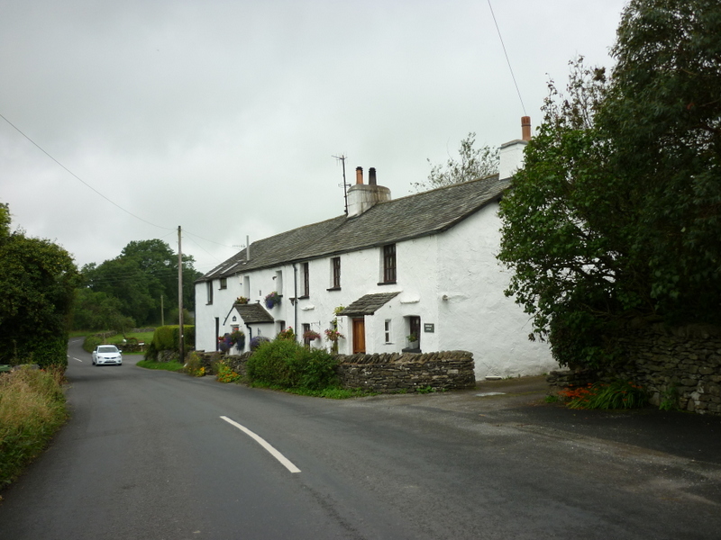
Bowston
Bowston is a village in Cumbria, England, situated about 4 miles (6.4 km) north of Kendal, beside the River Kent. It has an old, probably 17th century...
Bonning Gate
Bonning Gate is a hamlet in Cumbria, England. It is located 3.2 miles (5.1 km) by road to the northwest of Kendal. == See also == List of places in Cumbria...
Scout Scar
Scout Scar, also called Underbarrow Scar, is a hill in the English Lake District, west of Kendal, Cumbria and above the village of Underbarrow. It reaches...

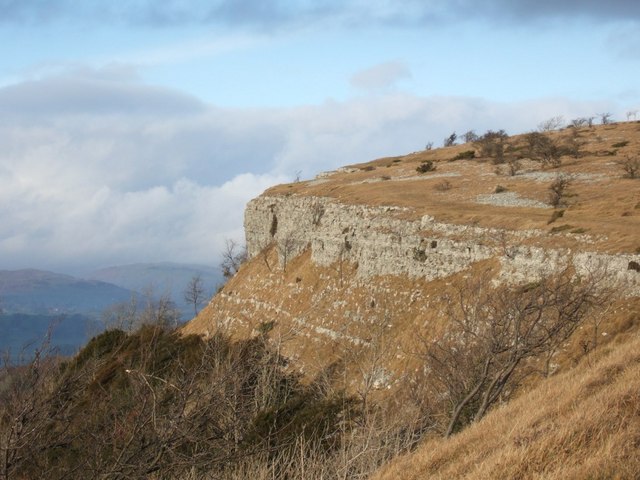
Cunswick Scar
Cunswick Scar is a limestone scar (cliff or steep rock face) in the Lake District, England. There are extensive views from the large cairn at the top...
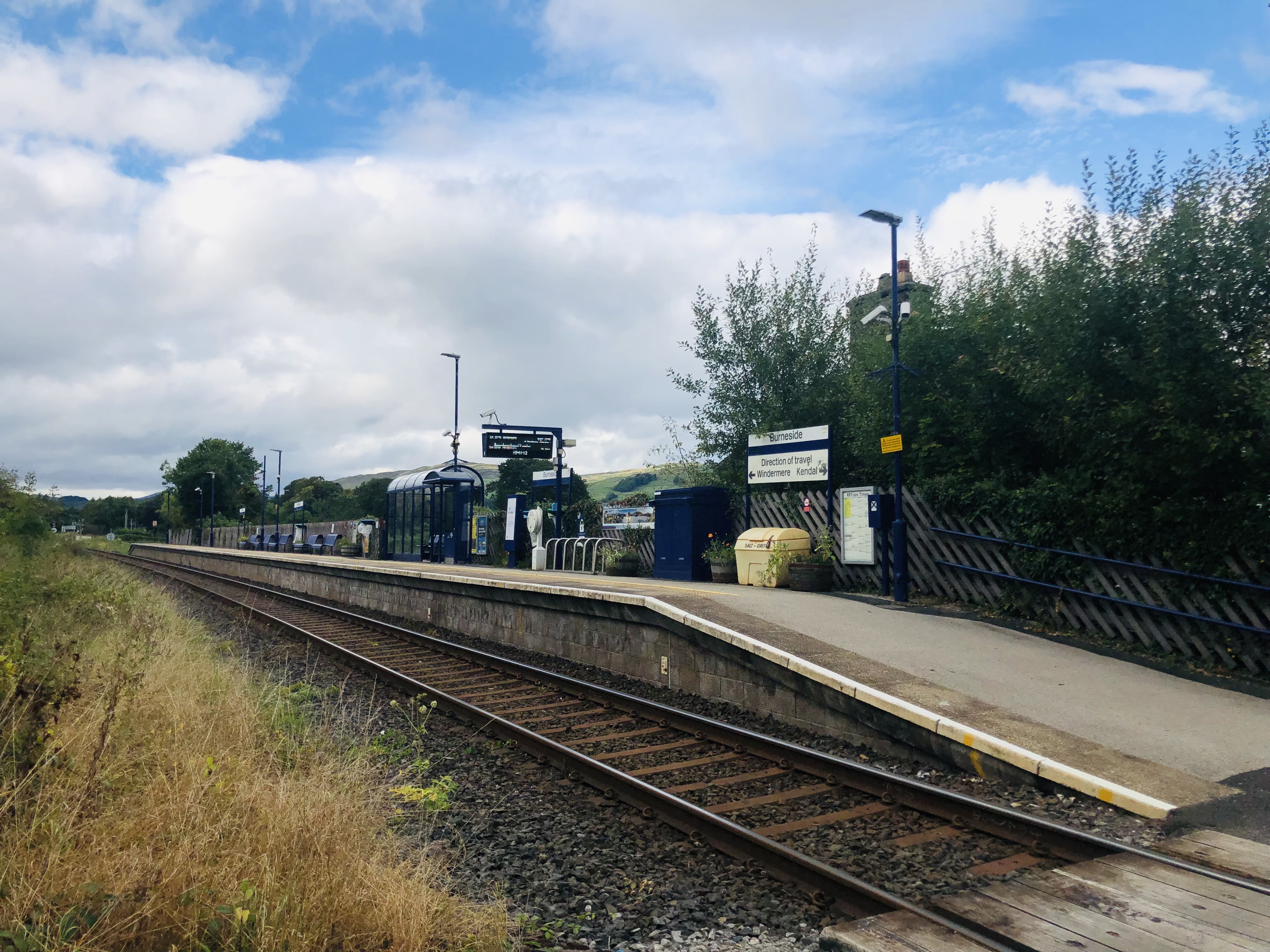
Burneside railway station
Burneside railway station is in Burneside, Cumbria, England. The station is situated on the Windermere Branch Line from Oxenholme to Windermere. To the...
Nearby Amenities
Located within 500m of 54.339832,-2.7893744Have you been to Ash Spring?
Leave your review of Ash Spring below (or comments, questions and feedback).