Brinstone Wood
Wood, Forest in Herefordshire
England
Brinstone Wood

Brinstone Wood is a captivating woodland located in the picturesque county of Herefordshire, England. Spanning a vast area of approximately 500 acres, this enchanting forest is renowned for its rich biodiversity and breathtaking natural beauty.
As visitors venture into Brinstone Wood, they are greeted by a dense canopy of towering oak and beech trees, forming a serene and peaceful ambiance. The forest floor is adorned with a lush carpet of vibrant wildflowers, ferns, and mosses, creating a captivating tapestry of colors throughout the seasons.
Tranquility and solitude abound in Brinstone Wood, making it an ideal destination for nature enthusiasts and wildlife lovers. The woodland is home to a diverse range of animal species, including deer, badgers, foxes, and a myriad of bird species. Lucky visitors may even catch a glimpse of the elusive red squirrels that inhabit the forest.
For those seeking outdoor adventures, Brinstone Wood offers a network of well-maintained walking trails, allowing visitors to explore the forest's hidden gems at their own pace. The trails wind through ancient woodlands, babbling brooks, and open glades, providing ample opportunities for wildlife spotting and birdwatching.
Brinstone Wood is not only a haven for flora and fauna, but it also holds historical significance. The woodland has traces of ancient settlements and artifacts, offering a glimpse into the area's rich cultural heritage.
In conclusion, Brinstone Wood is a captivating and diverse woodland, offering a tranquil escape into nature's embrace. Its awe-inspiring beauty, teeming wildlife, and historical significance make it a must-visit destination for nature enthusiasts and history buffs alike.
If you have any feedback on the listing, please let us know in the comments section below.
Brinstone Wood Images
Images are sourced within 2km of 51.901608/-2.7461325 or Grid Reference SO4822. Thanks to Geograph Open Source API. All images are credited.


Brinstone Wood is located at Grid Ref: SO4822 (Lat: 51.901608, Lng: -2.7461325)
Unitary Authority: County of Herefordshire
Police Authority: West Mercia
What 3 Words
///wobbling.blinks.sour. Near Llanrothal, Herefordshire
Nearby Locations
Related Wikis
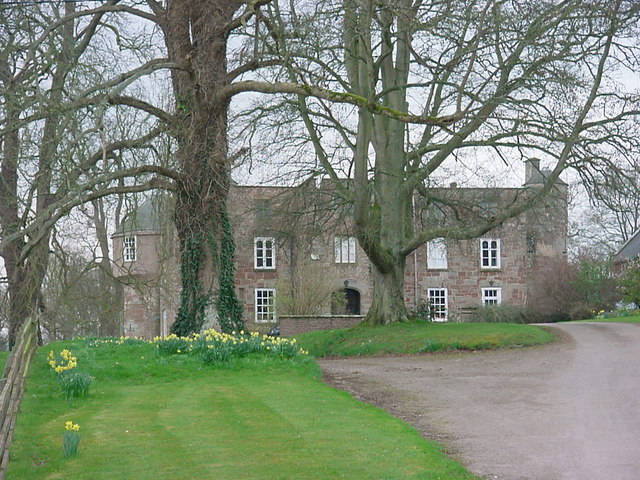
Treago Castle
Treago Castle is a fortified manor house in the parish of St Weonards, Herefordshire, England (grid reference SO48922396). Built c. 1500, it was recorded...
St Weonards
St Weonards (correctly pronounced 'wonnards') is a village and civil parish in Herefordshire, England, located 10 miles (16 km) south of Hereford, 7 miles...
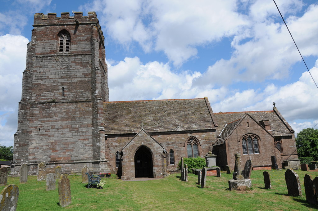
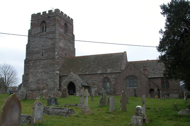
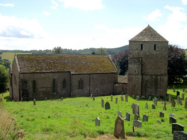
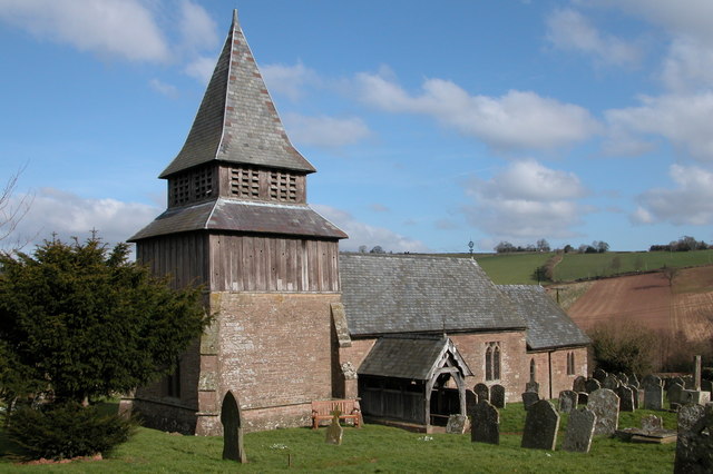
St Weonard's Church, St Weonard
St Weonard's Church, St Weonard is a Grade I listed parish church in St Weonards, Herefordshire, England. == History == The church dedication to St Weonard...
Tretire with Michaelchurch
Tretire with Michaelchurch is a civil parish in Herefordshire, England. It is approximately 9 miles (14 km) south from the city and county town of Hereford...
Garway
Garway is a civil parish in south-west Herefordshire, England. The population of the civil parish was 430 at the 2011 census. It is set on a hillside...
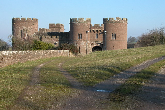
Pembridge Castle
Pembridge Castle, originally called Newland Castle, is a late 12th century to early 13th century Grade I listed former border castle located approximately...
Orcop
Orcop is a village and civil parish in the county of Herefordshire, England. It lies 14 kilometres (8.7 mi) south of Hereford. It has a well-preserved...

Archenfield
Archenfield (Old English: Ircingafeld, Middle English: "Irchenfield") is the historic English name for an area of southern and western Herefordshire in...
Have you been to Brinstone Wood?
Leave your review of Brinstone Wood below (or comments, questions and feedback).