Half Acre Plantation
Wood, Forest in Somerset Mendip
England
Half Acre Plantation
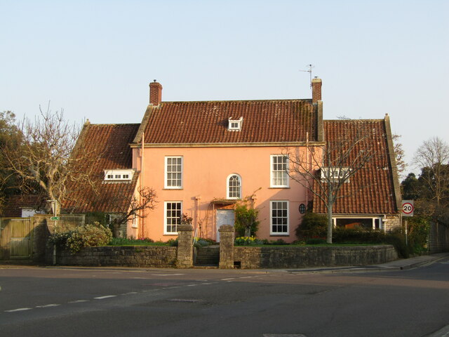
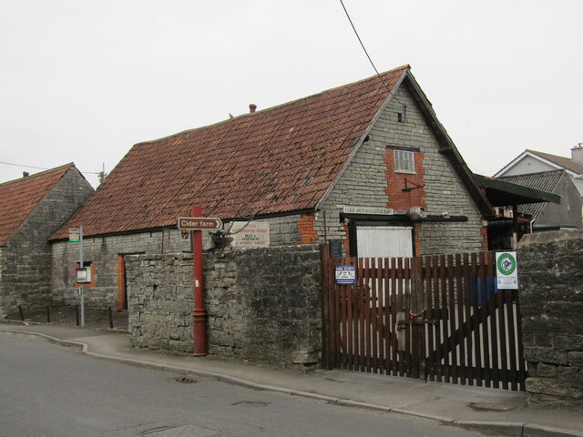
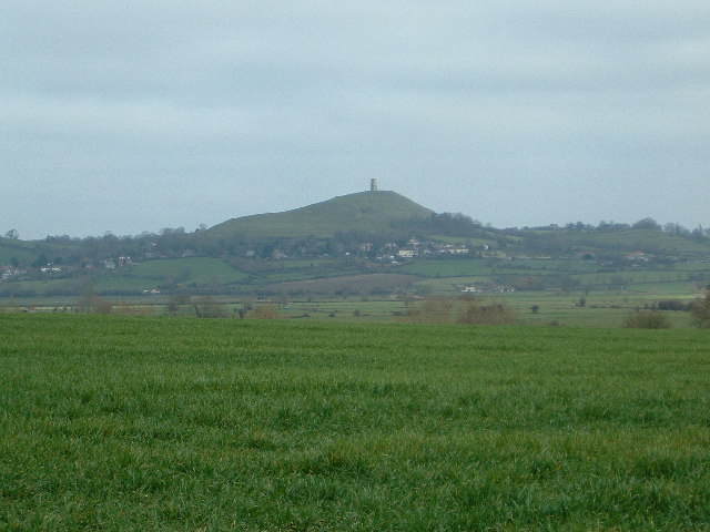
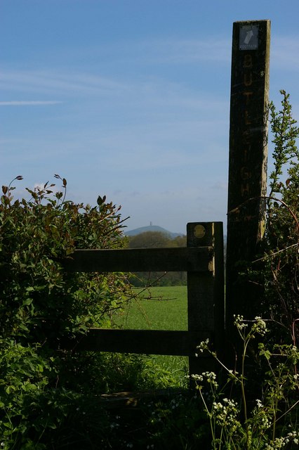
Half Acre Plantation, Somerset is a sprawling woodland located in the southwest of England. Encompassing an area of approximately half an acre, it is a picturesque and serene forested region. The plantation is nestled amidst the rolling hills and valleys of Somerset, offering visitors a tranquil retreat from the hustle and bustle of urban life.
The woodland is predominantly composed of a variety of tree species, including oak, beech, ash, and pine, which create a diverse and vibrant ecosystem. The lush greenery and dense foliage provide a conducive environment for a wide range of flora and fauna to thrive. Visitors can expect to encounter an array of wildlife, such as deer, rabbits, squirrels, and a variety of bird species, as they explore the plantation.
Half Acre Plantation offers numerous recreational activities for nature enthusiasts. There are well-maintained walking trails that wind through the woodland, allowing visitors to immerse themselves in the natural beauty of the surroundings. The trails are suitable for all levels of hikers, from beginners to experienced trekkers.
Additionally, the plantation provides a serene setting for picnics and outdoor gatherings. Visitors can bring their own food and enjoy a leisurely picnic amidst the tranquil ambiance of the forest. The plantation also offers camping facilities for those who wish to spend a night under the stars, surrounded by the soothing sounds of nature.
Overall, Half Acre Plantation, Somerset is a delightful destination for nature lovers and outdoor enthusiasts. Its picturesque beauty, diverse wildlife, and range of recreational activities make it a must-visit location for those seeking a peaceful and rejuvenating experience in the heart of the English countryside.
If you have any feedback on the listing, please let us know in the comments section below.
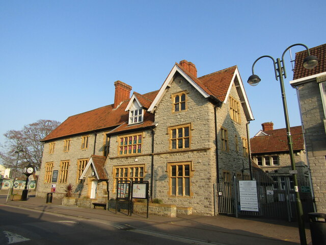
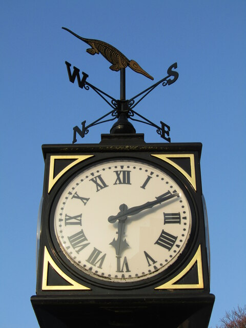
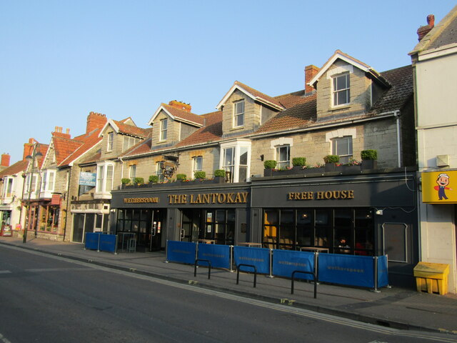
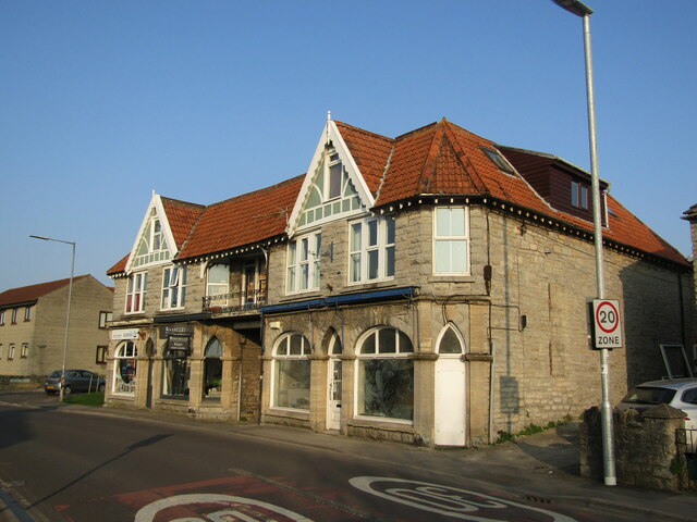
Half Acre Plantation Images
Images are sourced within 2km of 51.109002/-2.7338222 or Grid Reference ST4834. Thanks to Geograph Open Source API. All images are credited.


Half Acre Plantation is located at Grid Ref: ST4834 (Lat: 51.109002, Lng: -2.7338222)
Administrative County: Somerset
District: Mendip
Police Authority: Avon and Somerset
What 3 Words
///lawyer.handbags.perch. Near Street, Somerset
Nearby Locations
Related Wikis

Battle of Marshall's Elm
The battle of Marshall's Elm was a skirmish that took place near Street, in the county of Somerset, South West England, on 4 August 1642. The engagement...
Street F.C.
Street Football Club are a football club based in Street in Somerset, England. They are currently members of the Western League Premier Division and play...
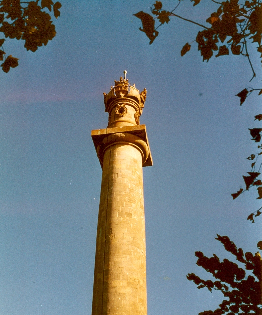
Admiral Hood Monument
The Admiral Hood Monument is a memorial column to Sir Samuel Hood on a hill near Butleigh in the parish of Compton Dundon, Somerset, England. It was completed...

Walton and Ivythorn Hills
Walton and Ivythorn Hills is a 34.9 hectares (86 acres) biological Site of Special Scientific Interest near Street at the south-eastern end of the Polden...

Millfield
Millfield is a public school (English fee-charging boarding and day school for pupils aged 13–18) located in Street, Somerset, England. It was founded...
Street, Somerset
Street is a large village and civil parish in Somerset, England, with a population of 11,805 in 2011. On a dry spot in the Somerset Levels, at the end...

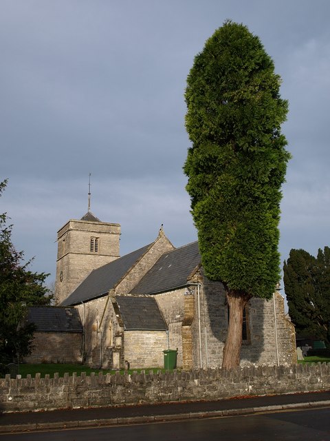
Street Mission Church
Street Mission Church is a Church of England church in Street, Somerset, England. The church was built in 1990 on the site of an earlier tin tabernacle...

Street Methodist Church
Street Methodist Church is a Methodist church in Street, Somerset, England. It was designed by Henry Hawkins and George Alves and built in 1893. ��2�...
Nearby Amenities
Located within 500m of 51.109002,-2.7338222Have you been to Half Acre Plantation?
Leave your review of Half Acre Plantation below (or comments, questions and feedback).