Brackenbank Wood
Wood, Forest in Cumberland Carlisle
England
Brackenbank Wood
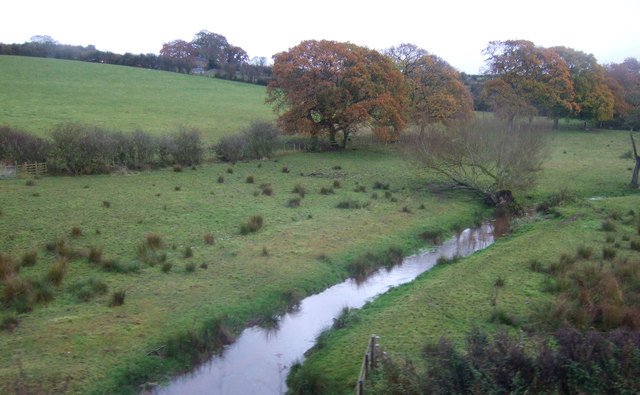
Brackenbank Wood, located in Cumberland, is a picturesque woodland area that offers a tranquil escape from the hustle and bustle of urban life. Situated in the northwestern part of England, this forest covers a vast area and is known for its stunning natural beauty and diverse flora and fauna.
The wood is characterized by its dense canopy of trees, primarily composed of oak, beech, and birch. These towering trees create a serene atmosphere, providing shade and shelter for a wide range of wildlife. Visitors to Brackenbank Wood can expect to encounter various species of birds, including woodpeckers and owls, as well as small mammals such as squirrels and hedgehogs.
The forest floor is carpeted with a rich layer of mosses, ferns, and bracken, giving the wood its name. This lush undergrowth adds to the enchanting ambiance of the woodland and provides habitat for numerous insects and invertebrates.
Brackenbank Wood is a popular destination for nature enthusiasts, hikers, and picnickers. It offers a network of well-maintained trails that wind through the trees, allowing visitors to explore the wood at their own pace. These paths lead to hidden clearings and secluded spots, perfect for those seeking a peaceful retreat or a spot for a picnic with family and friends.
Overall, Brackenbank Wood is a captivating forest that showcases the natural beauty of Cumberland. With its diverse ecosystem and serene atmosphere, it is a haven for wildlife and a refreshing escape for visitors seeking solace in nature.
If you have any feedback on the listing, please let us know in the comments section below.
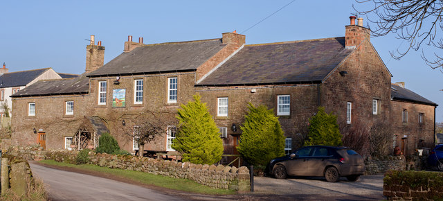
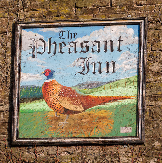
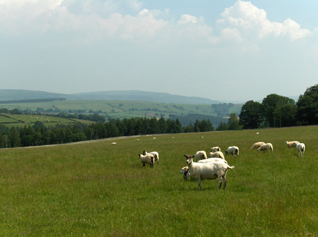
Brackenbank Wood Images
Images are sourced within 2km of 54.856397/-2.8018008 or Grid Reference NY4851. Thanks to Geograph Open Source API. All images are credited.


Brackenbank Wood is located at Grid Ref: NY4851 (Lat: 54.856397, Lng: -2.8018008)
Administrative County: Cumbria
District: Carlisle
Police Authority: Cumbria
What 3 Words
///magic.deflate.viewer. Near Wetheral, Cumbria
Nearby Locations
Related Wikis

Cotehill railway station
Cotehill railway station was a railway station on the Settle-Carlisle Railway in England between Armathwaite and Cumwhinton. The line opened for passengers...
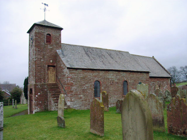
Cotehill
Cotehill is a village in Cumbria, England. In 1870-72 the township/chapelry had a population of 333. == See also == Cotehill railway station Listed buildings...
Cumwhitton
Cumwhitton is a small village and civil parish close to Carlisle in Cumbria, England. It lies just east of the M6 and the nearest train station is located...

Great Corby
Great Corby is a village in northern Cumbria, England, above the eastern bank of a wooded gorge on the River Eden. Directly across the river from Great...

Corby Castle
Corby Castle is a Grade I listed building and ancestral home of the Howard family situated on the southern edge of the village of Great Corby in northern...
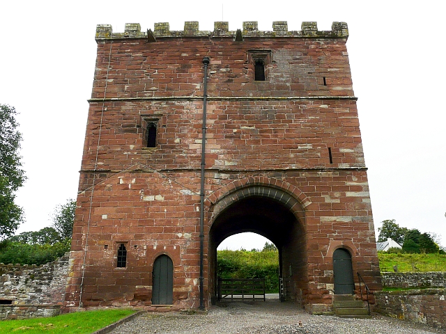
Wetheral Priory Gatehouse
Wetheral Priory Gatehouse is a 15th-century stone fortification in Wetheral, Cumbria. The priory was founded at the start of the 12th century and the gatehouse...

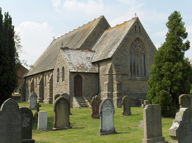
Wetheral
Wetheral is a village, civil parish and electoral ward in Cumbria, England. At the 2001 census, the population of the Wetheral Ward was 4,039, The civil...
Cocklakes
Cocklakes is a hamlet in Cumbria, England. British Gypsum formerly had a plant in Cocklakes. It has a lake which is used for fishing. It is served by the...
Nearby Amenities
Located within 500m of 54.856397,-2.8018008Have you been to Brackenbank Wood?
Leave your review of Brackenbank Wood below (or comments, questions and feedback).