Calfgarth Plantation
Wood, Forest in Cumberland Eden
England
Calfgarth Plantation

Calfgarth Plantation is a picturesque woodland located in the county of Cumberland, England. Situated on the outskirts of the quaint village of Calfgarth, this woodland is a haven for nature enthusiasts and those seeking solace in the great outdoors.
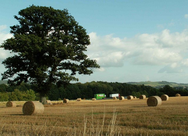
Covering an area of approximately 100 acres, Calfgarth Plantation boasts a diverse range of tree species, including oak, beech, birch, and pine. These lush trees create a dense canopy overhead, providing shelter and habitat for a variety of wildlife. The forest floor is adorned with an array of wildflowers, making it a delightful sight during spring and summer.
Tranquility and peace pervade the air in Calfgarth Plantation, making it an ideal spot for recreational activities such as walking, jogging, and birdwatching. There are several clearly marked trails that wind through the woodland, allowing visitors to explore its beauty at their own pace. The songs of numerous bird species, including woodpeckers and thrushes, can be heard throughout the year.
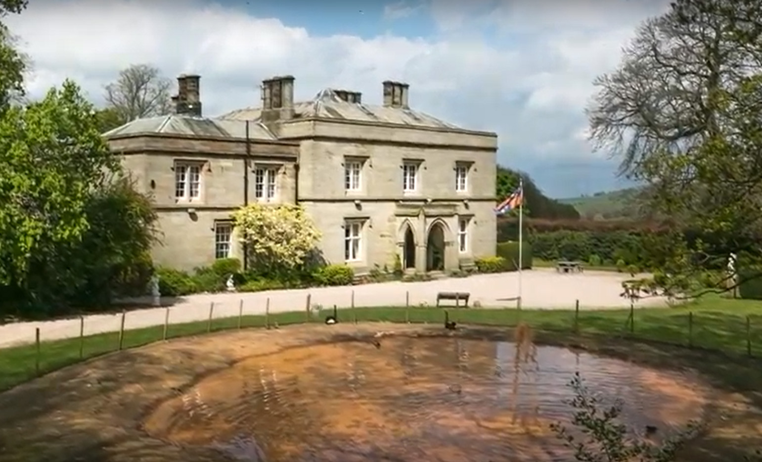
Additionally, Calfgarth Plantation is home to a small pond, which further enhances the natural beauty of the area. This pond serves as a watering hole for a variety of animals, including deer and foxes, which can often be spotted drinking or bathing in its tranquil waters.
Calfgarth Plantation is open to the public year-round, offering a serene escape from the hustle and bustle of everyday life. Its natural beauty and abundant wildlife make it a must-visit destination for nature lovers and those seeking a peaceful retreat in the heart of Cumberland.
If you have any feedback on the listing, please let us know in the comments section below.
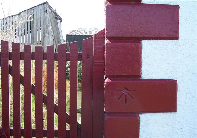
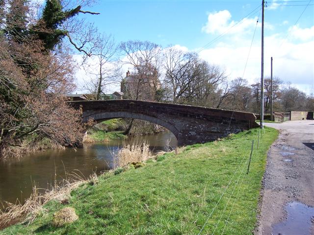
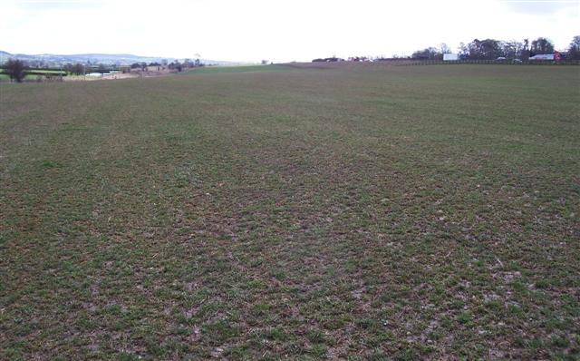
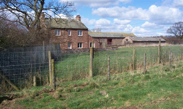
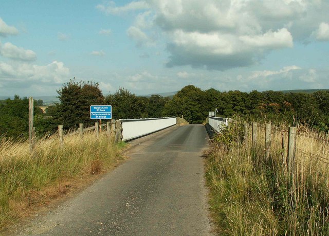
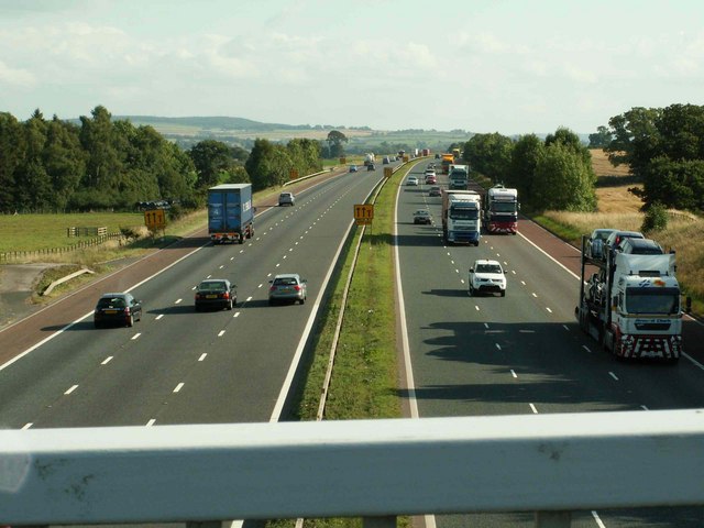
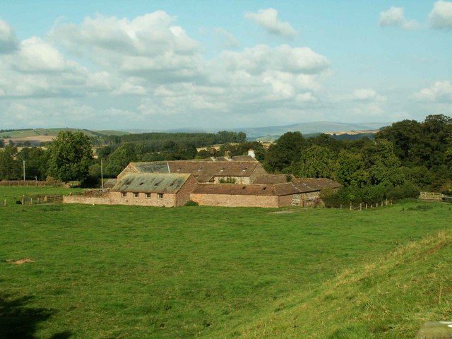
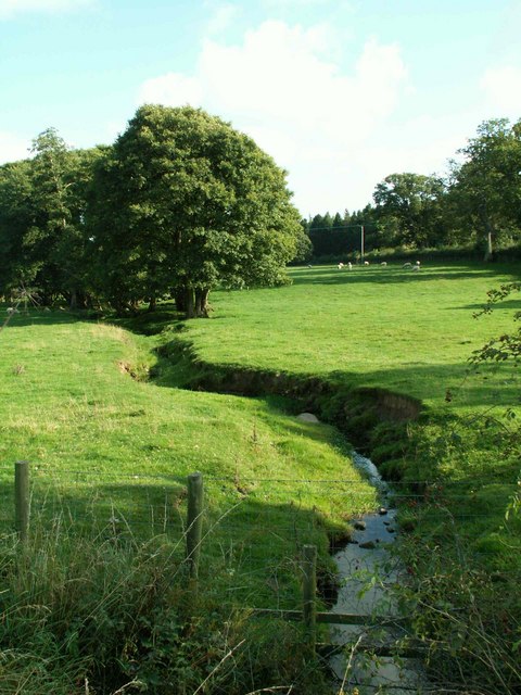
Calfgarth Plantation Images
Images are sourced within 2km of 54.739088/-2.7997921 or Grid Reference NY4838. Thanks to Geograph Open Source API. All images are credited.


Calfgarth Plantation is located at Grid Ref: NY4838 (Lat: 54.739088, Lng: -2.7997921)
Administrative County: Cumbria
District: Eden
Police Authority: Cumbria
What 3 Words
///symphonic.obligated.importers. Near Penrith, Cumbria
Nearby Locations
Related Wikis

Plumpton railway station (Cumbria)
Plumpton railway station in Hesket parish in what is now Cumbria but was then Cumberland in the north west of England, was situated on the Lancaster and...

Brockleymoor
Brockleymoor was a hamlet in Cumbria, England, but it is now part of the village of Plumpton. It is located several miles north of Penrith, not far from...

Plumpton, Cumbria
Plumpton or Plumpton Wall is a small village and former civil parish, in the parish of Hesket, in the Westmorland and Furness district, in the traditional...
Calthwaite railway station
Calthwaite railway station in Hesket parish, was situated on the Lancaster and Carlisle Railway (the West Coast Main Line) between Carlisle and Penrith...
Calthwaite Hall
Calthwaite Hall, near Penrith in Cumbria, England, is a house of historical significance and is Grade II listed on the National Heritage List for England...

Calthwaite
Calthwaite is a small village in rural Cumbria, England, situated between the small market town of Penrith and the larger city of Carlisle. It is within...

Hesket, Cumbria
Hesket (also Hesket-in-the-Forest) is a large civil parish in the Eden District of Cumbria, England, on the main A6 between Carlisle and Penrith. At the...

Morton, Eden
Morton is a hamlet near the village of Calthwaite, in the civil parishes of Hesket and Skelton, within the Eden district of the English county of Cumbria...
Nearby Amenities
Located within 500m of 54.739088,-2.7997921Have you been to Calfgarth Plantation?
Leave your review of Calfgarth Plantation below (or comments, questions and feedback).