Brigham Orchard
Wood, Forest in Westmorland South Lakeland
England
Brigham Orchard
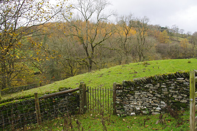
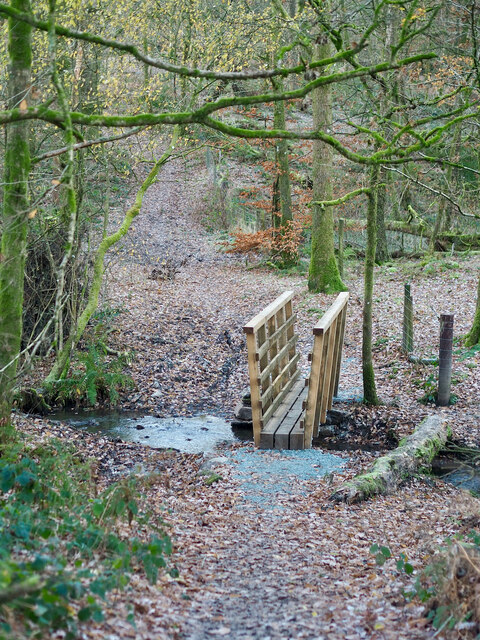
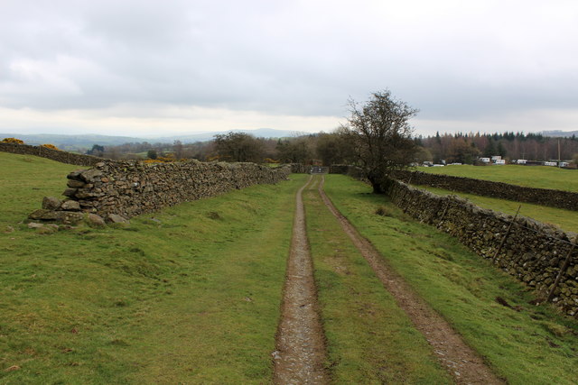
Brigham Orchard is a picturesque woodland area located in the county of Westmorland, England. Covering an expansive area, this scenic orchard is renowned for its abundant fruit trees and lush greenery. Nestled within the idyllic countryside, it offers a serene and tranquil escape from the bustling city life.
The orchard is primarily comprised of apple trees, with a variety of cultivars that thrive in the region's temperate climate. These trees bear fruit during the autumn season, creating a vibrant and colorful landscape. The apples produced in Brigham Orchard are known for their exceptional quality and are often harvested for consumption or used in local cider production.
The woodland surrounding the orchard is characterized by its rich biodiversity. It is home to a diverse range of flora and fauna, including various species of birds and small mammals. Walking through the orchard, visitors can enjoy the sights and sounds of nature, with wildflowers blooming in the spring and the rustling of leaves in the gentle breeze.
Brigham Orchard is a popular destination for nature enthusiasts, hikers, and those seeking a peaceful retreat. Visitors can explore the well-maintained trails that wind through the orchard, providing an opportunity to immerse oneself in the beauty of the surrounding woodlands. Additionally, the orchard offers picnicking areas where visitors can relax and enjoy the scenic views.
Overall, Brigham Orchard is a hidden gem in Westmorland, offering a harmonious blend of natural beauty, tranquility, and agricultural heritage. Whether one seeks to indulge in the harvest of seasonal fruits or simply wishes to enjoy a leisurely stroll amidst nature, this enchanting orchard is a must-visit destination.
If you have any feedback on the listing, please let us know in the comments section below.
Brigham Orchard Images
Images are sourced within 2km of 54.376653/-2.7989022 or Grid Reference SD4898. Thanks to Geograph Open Source API. All images are credited.


Brigham Orchard is located at Grid Ref: SD4898 (Lat: 54.376653, Lng: -2.7989022)
Administrative County: Cumbria
District: South Lakeland
Police Authority: Cumbria
What 3 Words
///assess.summit.belong. Near Staveley, Cumbria
Nearby Locations
Related Wikis
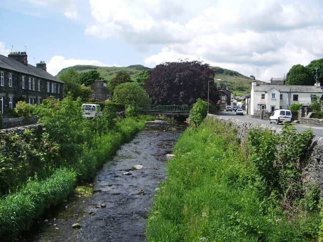
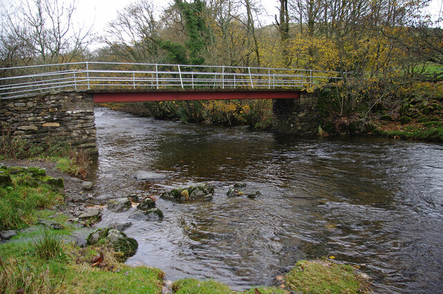
River Gowan, Cumbria
The River Gowan is a short river in Cumbria, running easterly through the village of Ings before joining the River Kent at Staveley. == Etymology == It...
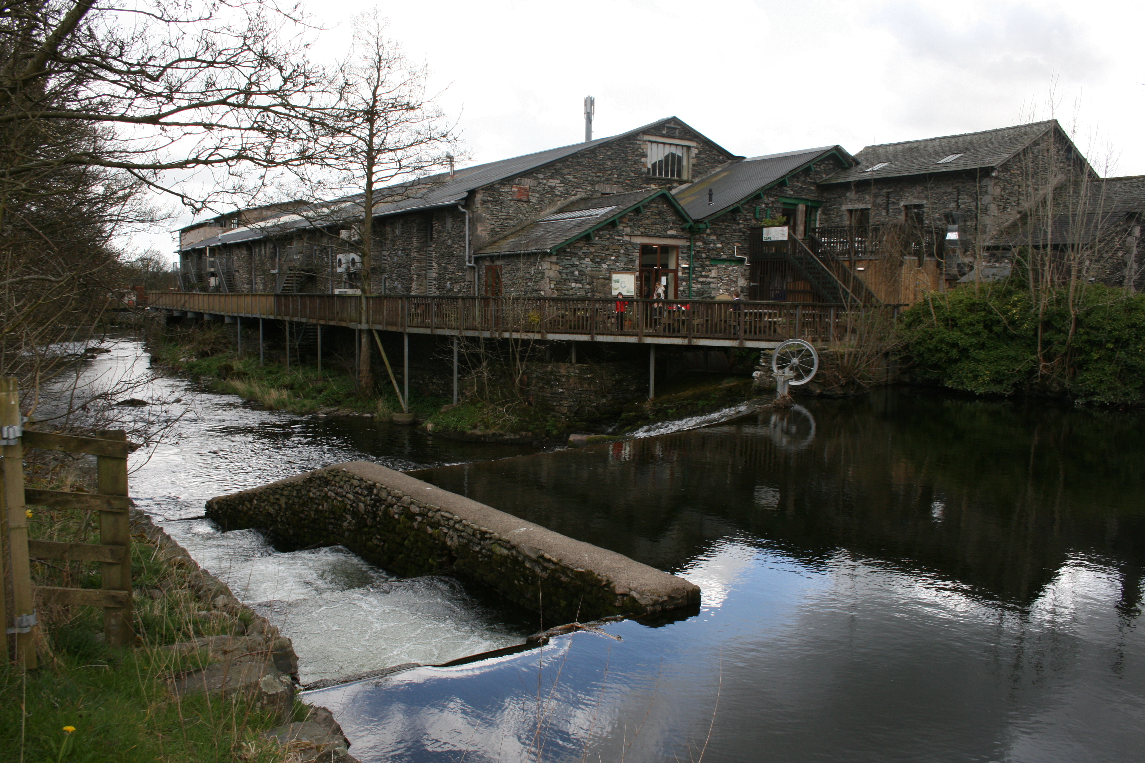
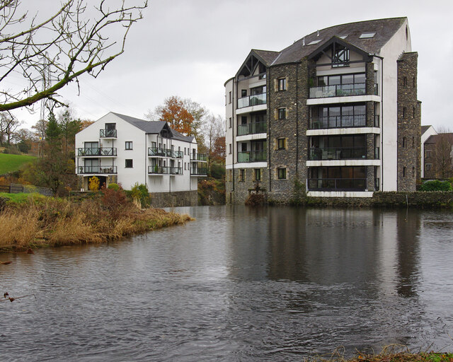
Staveley Mill Yard
Staveley Mill Yard is a former bobbin (spool) mill, which is now used for a variety of different local industries, shops and other commercial ventures...
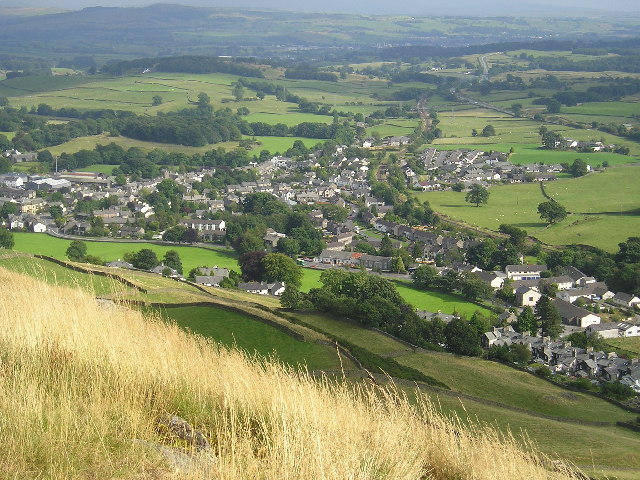
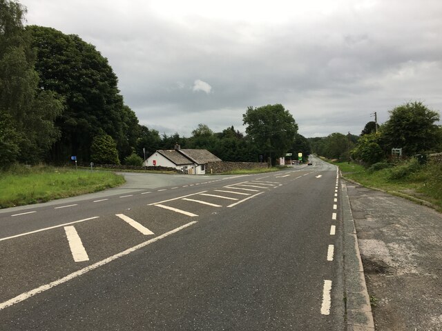
Staveley, Cumbria
Staveley (grid reference SD469981) is a village in the South Lakeland district, in Cumbria, England. Historically part of Westmorland, it is situated 4...
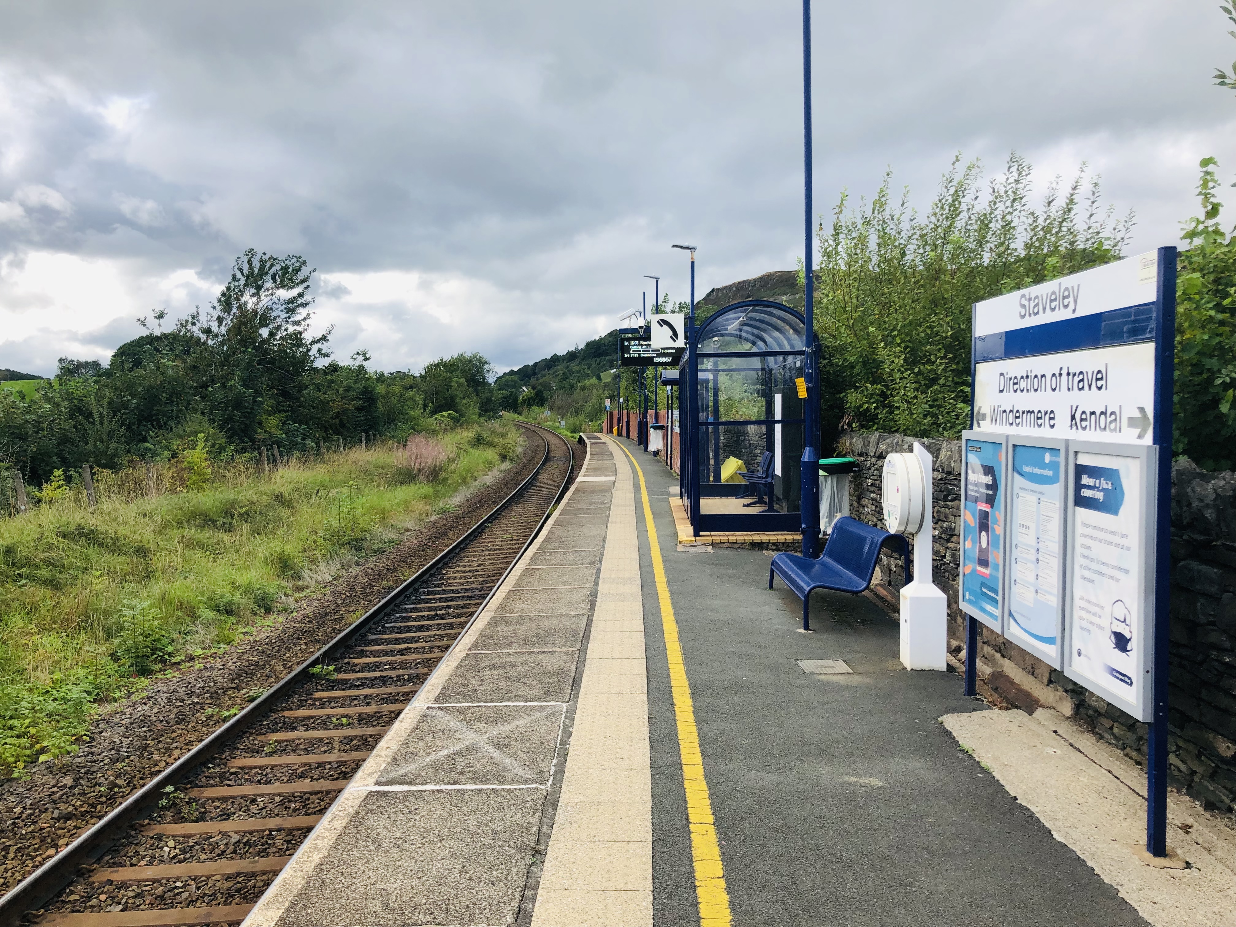
Staveley railway station
Staveley railway station is a railway station in Staveley in Cumbria, England. The station is on the Windermere Branch Line connecting Oxenholme and Windermere...

Nether Staveley
Nether Staveley is a civil parish in South Lakeland, Cumbria, England. The parish comprises the part of the village of Staveley south of the River Gowan...
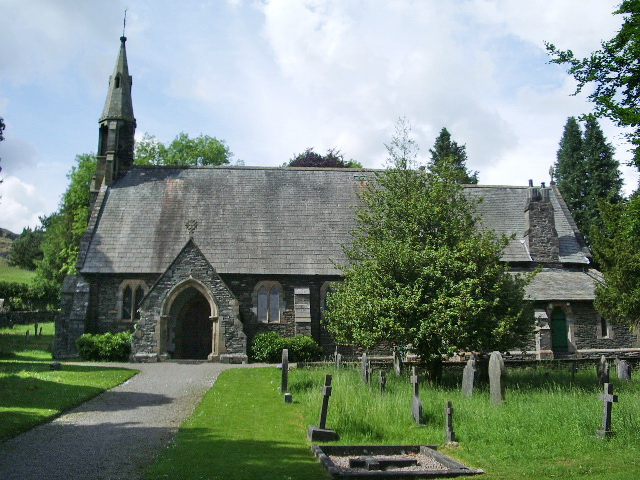
St James' Church, Staveley
St James' Church, Staveley is a Grade II listed parish church in the Church of England in Staveley, Cumbria. Its benefice is united with that of St Martin...
Over Staveley
Over Staveley is a civil parish in South Lakeland, Cumbria, England. The parish comprises most of the village of Staveley north of the River Gowan, and...

Cowan Head
Cowan Head is a hamlet in Cumbria, England. It is on the River Kent upstream from Burneside. == See also == Burneside Paper Mills Tramway == References ==
Nearby Amenities
Located within 500m of 54.376653,-2.7989022Have you been to Brigham Orchard?
Leave your review of Brigham Orchard below (or comments, questions and feedback).