Colinsburgh
Settlement in Fife
Scotland
Colinsburgh
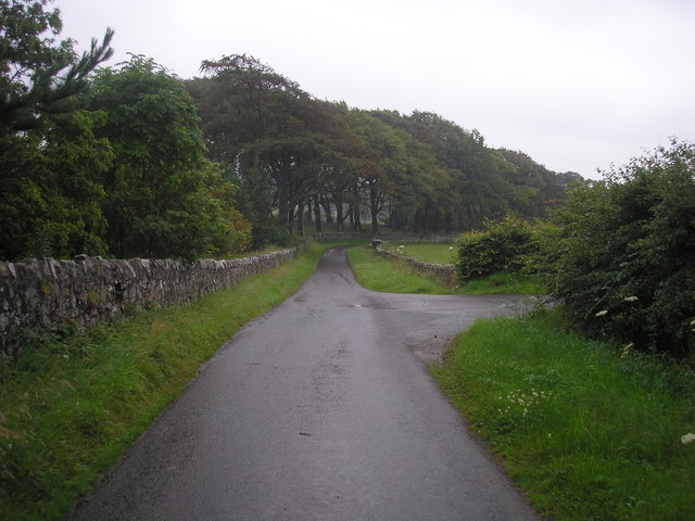
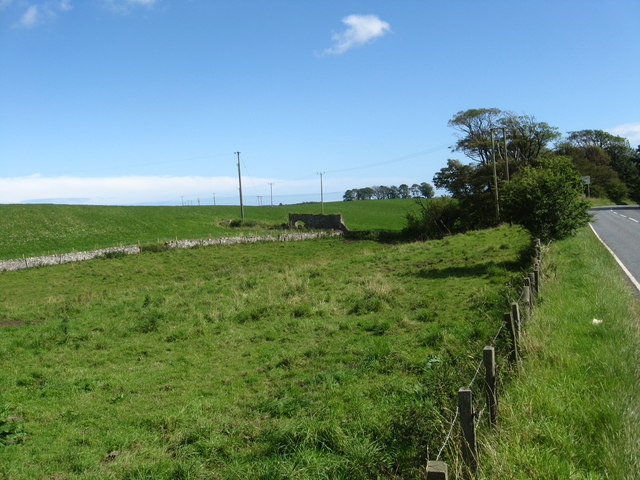
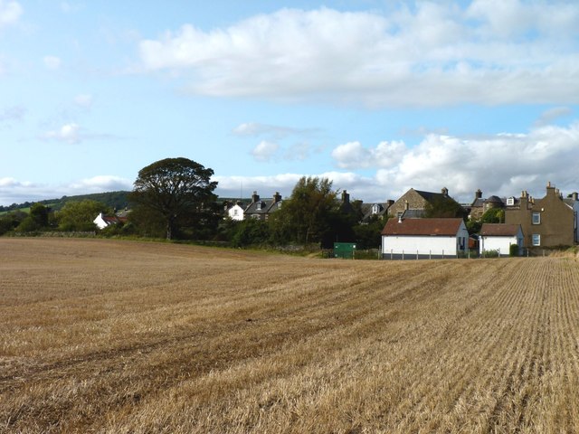
Colinsburgh is a small village located in the region of Fife, Scotland. Situated on the eastern coast of the country, it lies approximately 6 miles south of the larger town of St. Andrews. The village is nestled between the rolling hills of the East Neuk, offering stunning views of the surrounding countryside and the nearby coastline.
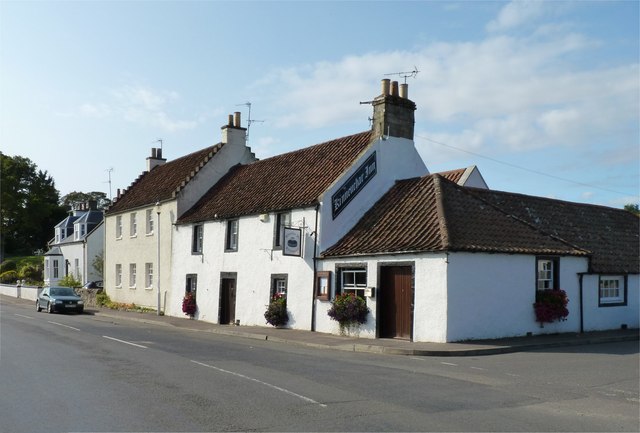
Colinsburgh has a population of around 900 residents, making it a close-knit and tight community. The village is known for its peaceful atmosphere and friendly locals, providing a welcoming environment for both residents and visitors alike. The architecture of Colinsburgh is predominantly traditional, with charming cottages and stone-built houses lining its streets.
Despite its small size, Colinsburgh offers a range of amenities to cater to the needs of its residents. These include a primary school, a local convenience store, a post office, and a community center. The village also has a local pub, where locals often gather for a pint and a chat.
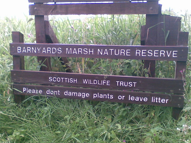
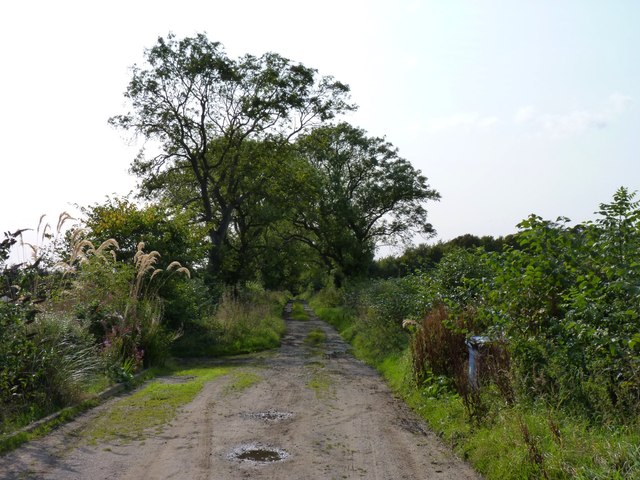
The surrounding area of Colinsburgh is rich in natural beauty and offers plenty of opportunities for outdoor activities. The Fife Coastal Path, which stretches along the coastline, is a popular attraction for hikers and nature enthusiasts. Additionally, the village is within easy reach of several golf courses, including the world-famous St. Andrews Links.
Overall, Colinsburgh is a charming village that offers a tranquil and picturesque setting for its residents and visitors. With its beautiful surroundings, friendly community, and convenient amenities, it is a delightful place to live or explore in the heart of Fife.
If you have any feedback on the listing, please let us know in the comments section below.
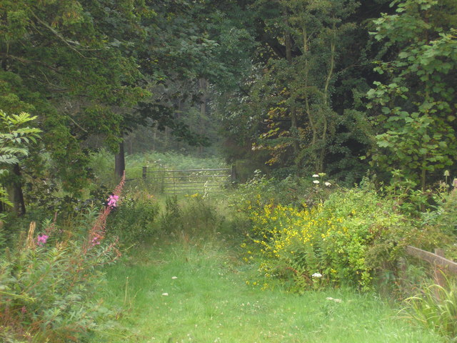
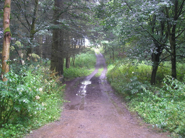
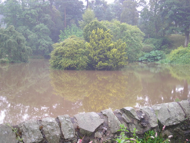
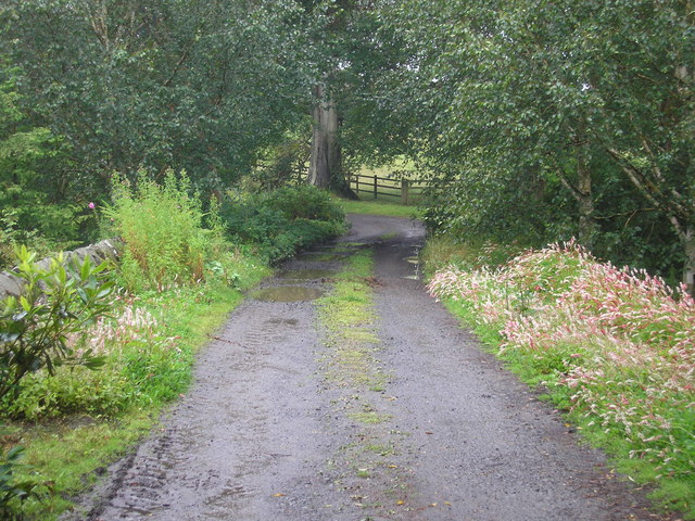
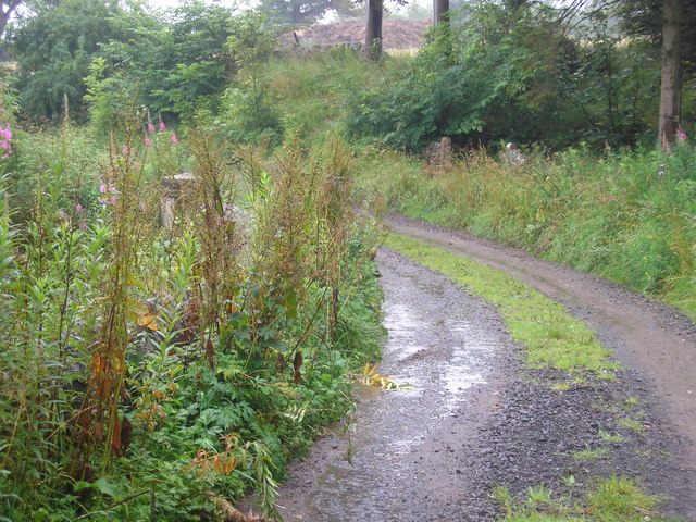
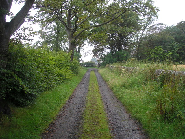
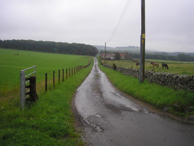
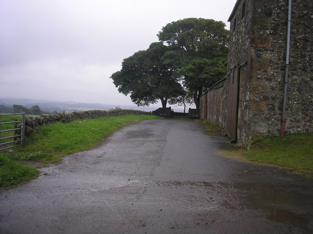
Colinsburgh Images
Images are sourced within 2km of 56.220697/-2.846354 or Grid Reference NO4703. Thanks to Geograph Open Source API. All images are credited.
Colinsburgh is located at Grid Ref: NO4703 (Lat: 56.220697, Lng: -2.846354)
Unitary Authority: Fife
Police Authority: Fife
What 3 Words
///reclusive.obligated.hovered. Near St Monans, Fife
Nearby Locations
Related Wikis

Colinsburgh
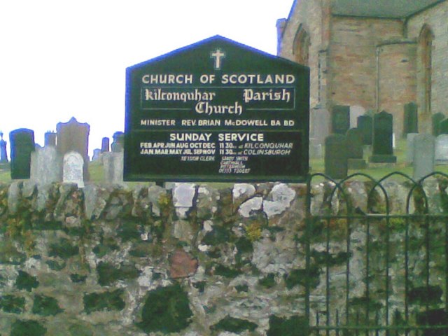
Colinsburgh is a village in east Fife, Scotland, in the parish of Kilconquhar. == History == The village is named after Colin Lindsay, 3rd Earl of Balcarres...
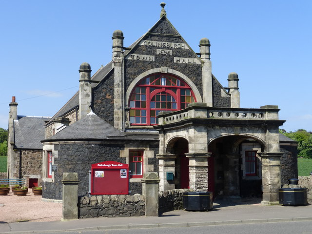
Colinsburgh Town Hall
Colinsburgh Town Hall is a municipal building in Main Street, Colinsburgh, Fife, Scotland. The building is used as a community events venue. == History... ==

Balcarres House
Balcarres House lies 1km north of the village of Colinsburgh, in the East Neuk of Fife, in eastern Scotland. It is centred on a mansion built in 1595...

Charleton House
Charleton House is located in the East Neuk of Fife, eastern Scotland. It lies around 1.5 kilometres (0.93 mi) west of Colinsburgh, and 5 kilometres (3...
Nearby Amenities
Located within 500m of 56.220697,-2.846354Have you been to Colinsburgh?
Leave your review of Colinsburgh below (or comments, questions and feedback).