Bryngwyn Hill Wood
Wood, Forest in Herefordshire
England
Bryngwyn Hill Wood

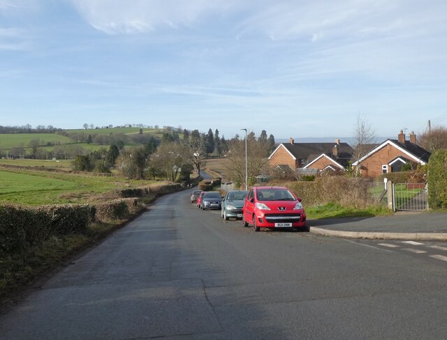
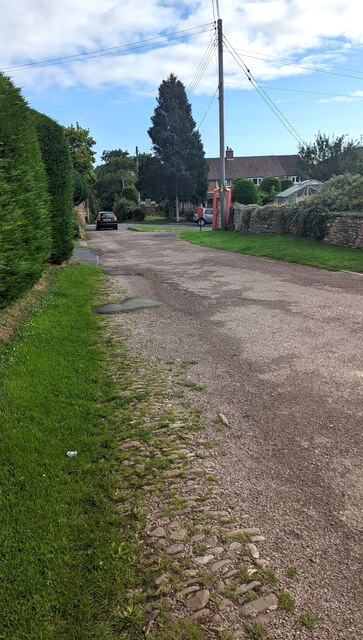
Bryngwyn Hill Wood is a picturesque woodland located in Herefordshire, England. Covering an area of approximately 30 acres, the wood is characterized by a diverse range of tree species including oak, beech, and ash. The woodland is situated on a hill, providing visitors with stunning views of the surrounding countryside.
Bryngwyn Hill Wood is home to a variety of wildlife, including birds, butterflies, and small mammals. The wood is a popular spot for birdwatching, with many species of birds making their home in the trees and undergrowth. Visitors to the woodland may also spot deer and other woodland creatures during their visit.
The woodland is crisscrossed with a network of footpaths, making it a popular destination for walkers and nature enthusiasts. The paths wind through the trees, offering visitors the chance to explore the wood at their own pace. There are also several picnic areas scattered throughout the woodland, providing a perfect spot to relax and enjoy the peaceful surroundings.
Overall, Bryngwyn Hill Wood is a beautiful natural area that offers visitors the chance to immerse themselves in the tranquility of the English countryside.
If you have any feedback on the listing, please let us know in the comments section below.
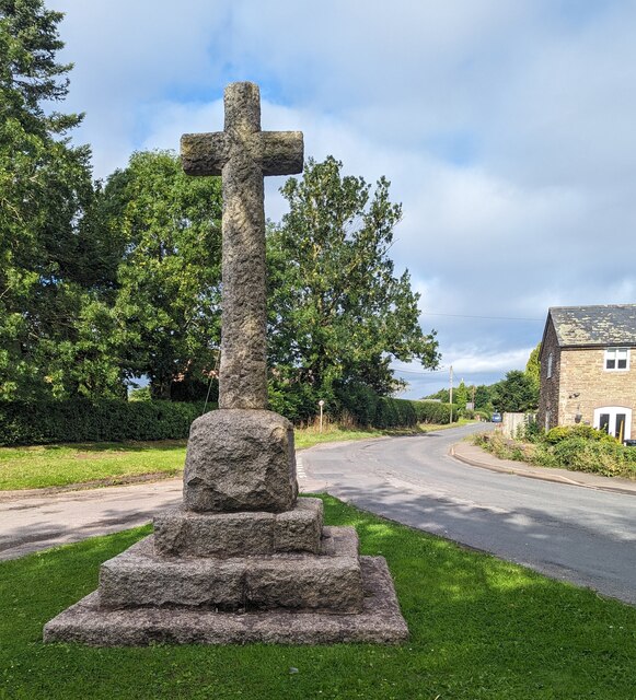
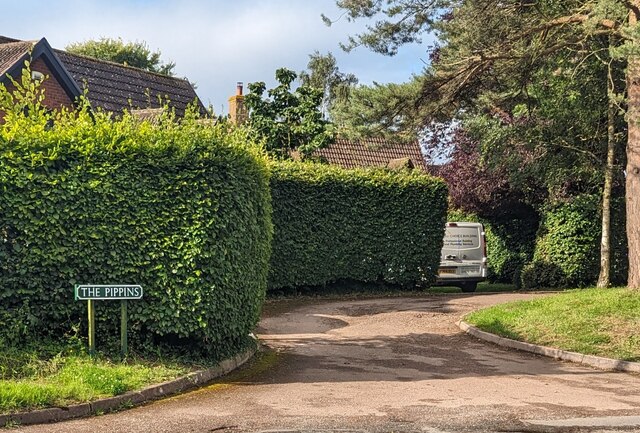
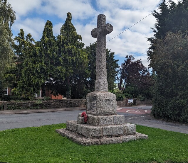
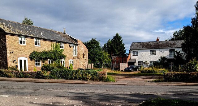
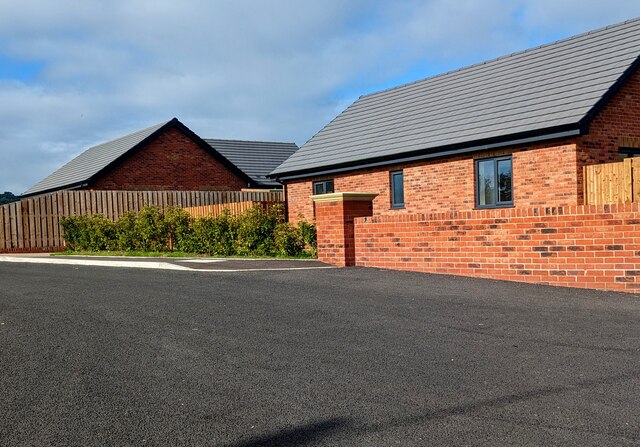
Bryngwyn Hill Wood Images
Images are sourced within 2km of 51.963381/-2.7579867 or Grid Reference SO4829. Thanks to Geograph Open Source API. All images are credited.
Bryngwyn Hill Wood is located at Grid Ref: SO4829 (Lat: 51.963381, Lng: -2.7579867)
Unitary Authority: County of Herefordshire
Police Authority: West Mercia
What 3 Words
///wanting.moving.variances. Near Much Birch, Herefordshire
Nearby Locations
Related Wikis
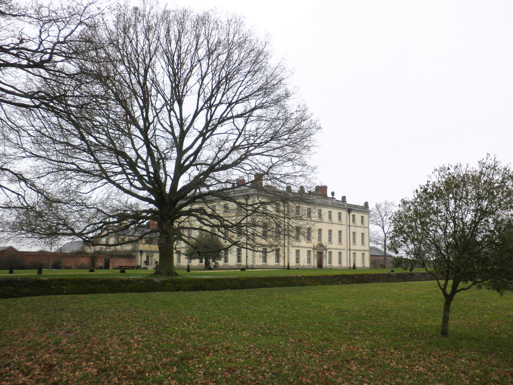
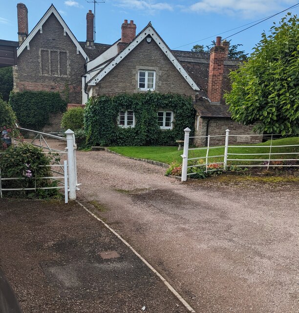
The Mynde
The Mynde is a country house in Much Dewchurch, Herefordshire. Originally built in the 15th and 16th centuries, it was remodelled in the 18th century and...

Wormelow Tump
Wormelow Tump is a village in Herefordshire, England, 6 miles (10 km) south of Hereford and 6+1⁄2 mi (10 km) north-west of Ross-on-Wye. Most of the village...

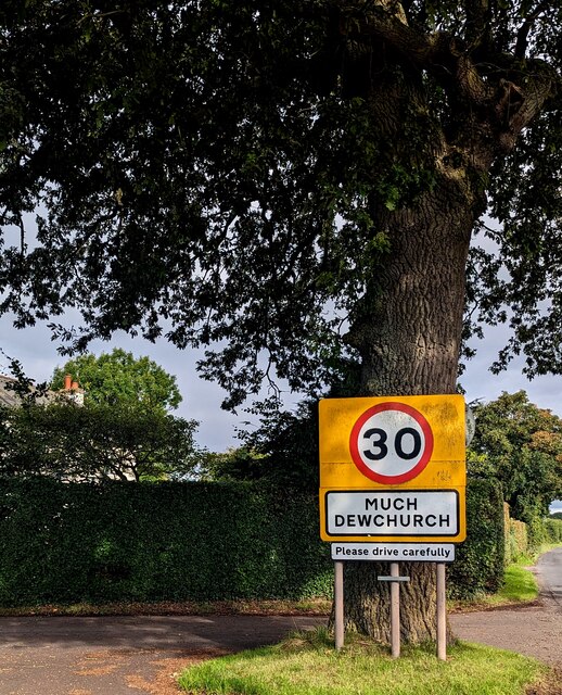
Much Dewchurch
Much Dewchurch is a village and civil parish in Herefordshire, England. The village lies about 6 miles (10 km) south of Hereford. The parish includes the...

Steiner Academy Hereford
The Steiner Academy Hereford is a Steiner-Waldorf Academy school in Much Dewchurch near Hereford, Herefordshire, UK. It opened in September 2008 based...
Nearby Amenities
Located within 500m of 51.963381,-2.7579867Have you been to Bryngwyn Hill Wood?
Leave your review of Bryngwyn Hill Wood below (or comments, questions and feedback).