Farrer's Wood
Wood, Forest in Lancashire South Ribble
England
Farrer's Wood

Farrer's Wood, located in the county of Lancashire, is a picturesque and serene forest area that covers an expanse of approximately 500 acres. Situated in the heart of this historic county, the wood is known for its natural beauty, tranquil ambiance, and rich biodiversity. It is a popular destination for nature enthusiasts, hikers, and photographers, offering a peaceful retreat from the hustle and bustle of city life.
The wood is dominated by a variety of native tree species, including oak, beech, birch, and pine, which create a dense and lush canopy overhead. This dense vegetation provides a habitat for numerous species of birds, small mammals, and insects. Birdwatchers can spot a plethora of avian species, such as woodpeckers, jays, and thrushes, amidst the trees.
Trails wind their way through the wood, offering visitors the opportunity to explore its natural wonders at their own pace. These well-maintained paths provide easy access to various parts of the forest, allowing visitors to appreciate the diverse flora and fauna that call Farrer's Wood home.
In addition to its natural beauty, Farrer's Wood also holds historical significance. It is believed that the wood has been in existence for centuries, with records dating back to the medieval period. Over the years, it has served as a source of timber, providing materials for construction and fuel.
Overall, Farrer's Wood is a hidden gem in Lancashire, offering a tranquil haven for those seeking solace in nature. With its breathtaking scenery, diverse wildlife, and historical significance, it is a must-visit destination for nature lovers and history enthusiasts alike.
If you have any feedback on the listing, please let us know in the comments section below.
Farrer's Wood Images
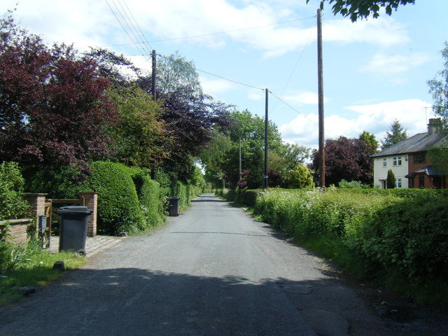
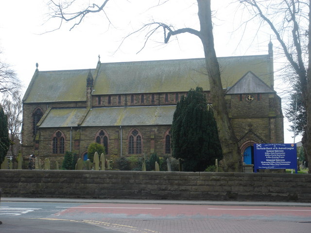
Images are sourced within 2km of 53.736574/-2.7937441 or Grid Reference SD4726. Thanks to Geograph Open Source API. All images are credited.


Farrer's Wood is located at Grid Ref: SD4726 (Lat: 53.736574, Lng: -2.7937441)
Administrative County: Lancashire
District: South Ribble
Police Authority: Lancashire
What 3 Words
///doted.stability.driven. Near Freckleton, Lancashire
Nearby Locations
Related Wikis
Longton, Lancashire
Longton is a village and civil parish in the west of the borough of South Ribble, Lancashire, England. It is about 4 miles to the south west of Preston...

Ribble Way
The Ribble way is a long-distance walk between the Lancashire coast and the Yorkshire Dales National Park largely following the course of the River Ribble...
Longton Bridge railway station
Longton Bridge was a railway station on the West Lancashire Railway in England. It served the village of Longton. == History == The station opened as Longton...
Hutton, Lancashire
Hutton is a village and civil parish in Lancashire, England. It is located 3 miles (4.8 km) south west of Preston, in the South Ribble borough and parliamentary...
Nearby Amenities
Located within 500m of 53.736574,-2.7937441Have you been to Farrer's Wood?
Leave your review of Farrer's Wood below (or comments, questions and feedback).