Barrockend Wood

Wood, Forest in Cumberland Eden

England

Barrockend Wood

Crop Waves Taken from the Cotehill-Armathwaite road near Priory Farm the contours of the land and the crop lines combine to form a wave pattern
Crop Waves Credit: Guy Mathison

Barrockend Wood is a picturesque forest located in the county of Cumberland, in the northwestern part of England. The wood covers an area of approximately 100 acres and is renowned for its natural beauty and diverse range of flora and fauna.

The forest is characterized by its dense canopy of towering trees, including oak, beech, and ash, which provide a haven for a variety of bird species such as woodpeckers, owls, and thrushes. The forest floor is adorned with a vibrant carpet of wildflowers, including bluebells, primroses, and foxgloves, creating a stunning display of colors during the spring and summer months.

Barrockend Wood is crisscrossed by a network of walking trails, allowing visitors to explore its enchanting surroundings. These trails meander through the forest, leading visitors past babbling brooks, hidden glades, and tranquil ponds. The peaceful ambiance of the wood makes it an ideal destination for nature lovers, walkers, and photographers seeking a serene escape from the hustle and bustle of daily life.

The wood also holds historical significance, with remnants of ancient settlements and burial mounds dating back to the Bronze Age. Archaeological excavations have unearthed artifacts such as pottery, tools, and jewelry, providing valuable insights into the lives of the early inhabitants of the area.

Overall, Barrockend Wood offers a captivating blend of natural beauty and historical significance, making it a must-visit destination for those seeking an immersive and enriching experience in the heart of Cumberland.

If you have any feedback on the listing, please let us know in the comments section below.

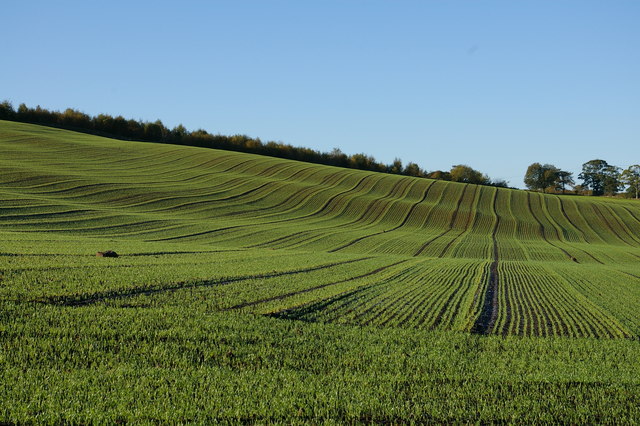
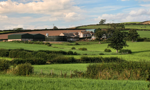
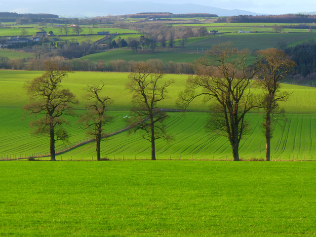
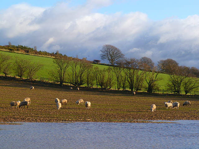
Barrockend Wood Images

Images are sourced within 2km of 54.816795/-2.8190211 or Grid Reference NY4747. Thanks to Geograph Open Source API. All images are credited.

Crop Waves Taken from the Cotehill-Armathwaite road near Priory Farm the contours of the land and the crop lines combine to form a wave pattern
Crop Waves
Taken from the Cotehill-Armathwaite road near Priory Farm the contours of the land and the crop lines combine to form a wave pattern
Winter Crop Waves Pretty much the same view as in 'Crop Waves' <a title="https://www.geograph.org.uk/photo/2477708" href="https://www.geograph.org.uk/photo/2477708">Link</a> only taken three months later on a frosty morning.
Winter Crop Waves
Pretty much the same view as in 'Crop Waves' Link only taken three months later on a frosty morning.
Bank House Bank House Farm.
Bank House
Bank House Farm.
Farmland, Hesket A row of trees in arable fields viewed from the A6 near Barrock Side. The northern fells of the Lake District are just visible in the background.
Farmland, Hesket
A row of trees in arable fields viewed from the A6 near Barrock Side. The northern fells of the Lake District are just visible in the background.
Road and farmland, Hesket Barrock Fell rises to the left above the road to Aiketgate from the A6.
Road and farmland, Hesket
Barrock Fell rises to the left above the road to Aiketgate from the A6.
Farmland, Hesket With trees lining the drive to Barrock End.
Farmland, Hesket
With trees lining the drive to Barrock End.
Farmland, Hesket Sheep, feeding on turnips, on land rising from the Aiketgate to Nunclose road.
Farmland, Hesket
Sheep, feeding on turnips, on land rising from the Aiketgate to Nunclose road.
Tree Lined Road
Tree Lined Road
Road to Barrock Park
The village of Low Hesket on the A6
Houses in Low Hesket
The Rose and Crown, Low Hesket
Houses in Low Hesket
Ice cream van in Southwaite Road Slee's of Winskill van continuing its round after serving a few customers on this street.
Ice cream van in Southwaite Road
Slee's of Winskill van continuing its round after serving a few customers on this street.
Village amenities, Low Hesket Recycling bins, post box and notice board, by the village hall.
Village amenities, Low Hesket
Recycling bins, post box and notice board, by the village hall.
Low Hesket Village Hall The hall was opened in 1954.
An OS gridline crosses the building - the right hand end is in the next square (see <a href="https://www.geograph.org.uk/photo/3739473">NY4645 : Village amenities, Low Hesket</a> ).
Low Hesket Village Hall
The hall was opened in 1954. An OS gridline crosses the building - the right hand end is in the next square (see NY4645 : Village amenities, Low Hesket ).
View across the A6 at Low Hesket Masts on Barrock Fell can be seen in the distance.
View across the A6 at Low Hesket
Masts on Barrock Fell can be seen in the distance.
High Bell Garth Bungalows adjacent to the A6 at Low Hesket.
High Bell Garth
Bungalows adjacent to the A6 at Low Hesket.
Show me another place!

Barrockend Wood is located at Grid Ref: NY4747 (Lat: 54.816795, Lng: -2.8190211)

Administrative County: Cumbria

District: Eden

Police Authority: Cumbria

What 3 Words

///downfield.elects.dodging. Near Wetheral, Cumbria

Nearby Locations

Barrockend Wood

Related Wikis

Aiketgate

Aiketgate is a small village in the English county of Cumbria. It is within the civil parish of Hesket. Development of wind turbines in the Eden Valley...

Low Hesket

Low Hesket is a village in the English county of Cumbria. Low Hesket is on the A6 road 8+1⁄2 miles (13.7 km) south of Carlisle. This is a former Roman...
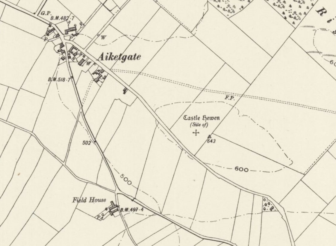
Castle Hewen

Castle Hewen (also recorded as Castlewen; Castle Luen; Castellewyn; Castellewyne; Castlehewings; Castle-Ewaine and Castle Lewen) was a Romano-British castle...

High Hesket

High Hesket is a village near the A6 road, in the parish of Hesket, in the Eden district, in the English county of Cumbria. The village was on the A6 road...

Cotehill

Cotehill is a village in Cumbria, England. In 1870-72 the township/chapelry had a population of 333. == See also == Cotehill railway station Listed buildings...

Armathwaite railway station

Armathwaite is a railway station on the Settle and Carlisle Line, which runs between Carlisle and Leeds via Settle. The station, situated 9 miles 75 chains...

Southwaite

Southwaite is a small village in the parish of Hesket, in the Eden District, in the English county of Cumbria. == Location == It is located on a minor...

Armathwaite

Armathwaite is a village in the English ceremonial county of Cumbria. Historically within the county of Cumberland, Armathwaite lies on the River Eden...

Nearby Amenities

Located within 500m of 54.816795,-2.8190211
Design: three-level
Power: tower
Lat/Long: 54.8212856/-2.818708
Design: three-level
Power: tower
Lat/Long: 54.8160585/-2.8140288
Design: three-level
Power: tower
Lat/Long: 54.8187008/-2.815283
Place: farm
Lat/Long: 54.8168399/-2.8206794
Power: pole
Lat/Long: 54.8124666/-2.8196382
Power: pole
Lat/Long: 54.8134079/-2.8197005
Power: pole
Lat/Long: 54.8141975/-2.8191062
Power: pole
Lat/Long: 54.814987/-2.8185011
Power: pole
Lat/Long: 54.8157622/-2.8179103
Power: pole
Lat/Long: 54.8144897/-2.8149475
Power: pole
Lat/Long: 54.8151306/-2.8164369
Power: pole
Lat/Long: 54.8163856/-2.8193926
The data included in this document is from www.openstreetmap.org. The data is made available under ODbL.

Have you been to Barrockend Wood?

Leave your review of Barrockend Wood below (or comments, questions and feedback).