Birkhag Wood
Wood, Forest in Westmorland South Lakeland
England
Birkhag Wood
Birkhag Wood is a captivating forest located in the county of Westmorland, England. Spread over a vast area, this woodland is known for its serene and picturesque beauty, attracting nature enthusiasts and hikers alike. The forest is nestled within the stunning countryside of Westmorland, offering visitors a tranquil escape from the hustle and bustle of city life.
Birkhag Wood is predominantly composed of oak trees, which lend a majestic and timeless aura to the landscape. The forest floor is carpeted with a rich variety of flora, including bluebells, wild garlic, and ferns, creating a vibrant and colorful tapestry during the spring and summer months. Moss-covered stones and fallen logs add to the enchanting atmosphere of the woodland, providing a sense of mystery and intrigue.
The woodland is home to a diverse array of wildlife, making it a haven for animal lovers. Visitors may spot deer roaming freely, along with a multitude of bird species, such as woodpeckers and owls. The tranquil environment of Birkhag Wood also makes it an ideal habitat for smaller creatures like squirrels, rabbits, and various species of insects.
For those seeking outdoor adventures, Birkhag Wood offers numerous walking trails that wind through the forest, allowing visitors to explore its hidden corners and discover its natural wonders. The peaceful surroundings and fresh air make it an excellent location for hiking, birdwatching, or simply immersing oneself in the beauty of nature.
In summary, Birkhag Wood in Westmorland is a captivating forest that offers a serene retreat amid its oak trees, diverse wildlife, and picturesque scenery. It is a place where nature enthusiasts can immerse themselves in the tranquility and beauty of the countryside.
If you have any feedback on the listing, please let us know in the comments section below.
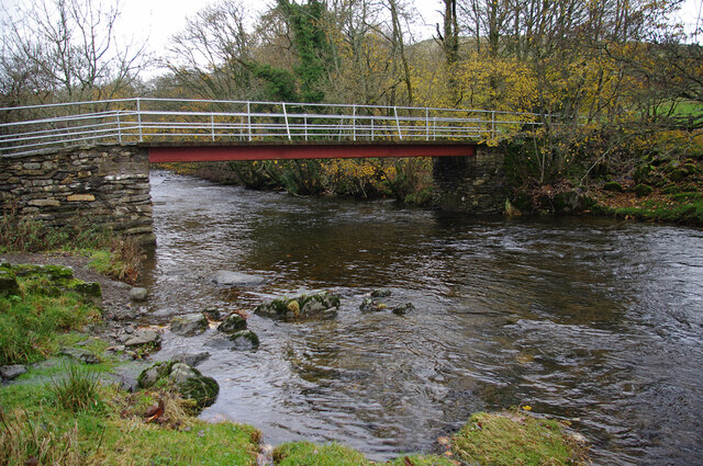
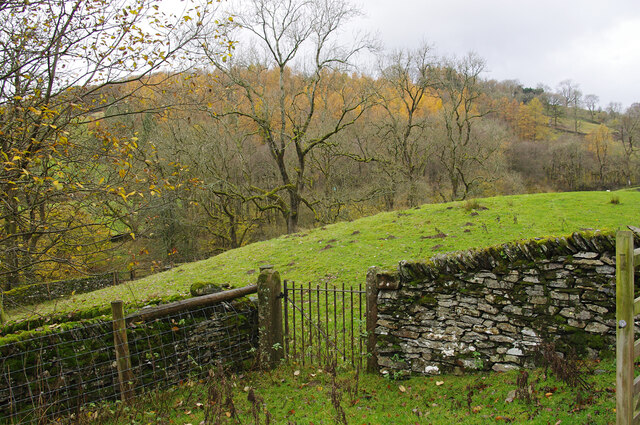
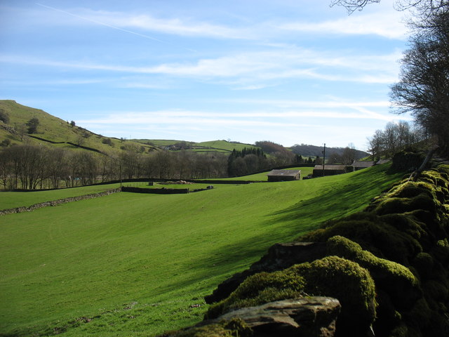
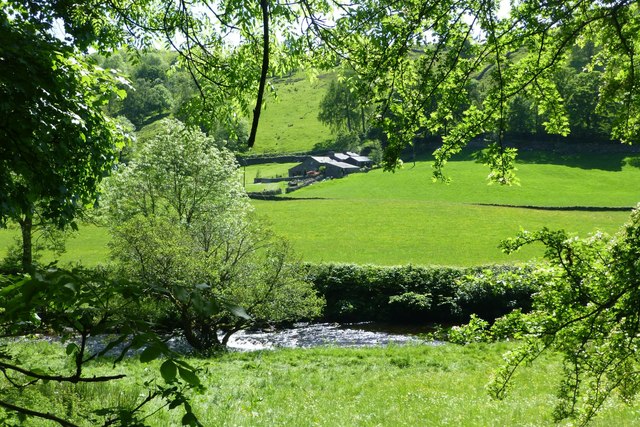
Birkhag Wood Images
Images are sourced within 2km of 54.381941/-2.8106142 or Grid Reference SD4798. Thanks to Geograph Open Source API. All images are credited.


Birkhag Wood is located at Grid Ref: SD4798 (Lat: 54.381941, Lng: -2.8106142)
Administrative County: Cumbria
District: South Lakeland
Police Authority: Cumbria
What 3 Words
///ahead.tint.recruiter. Near Staveley, Cumbria
Nearby Locations
Related Wikis
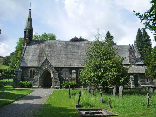
St James' Church, Staveley
St James' Church, Staveley is a Grade II listed parish church in the Church of England in Staveley, Cumbria. Its benefice is united with that of St Martin...
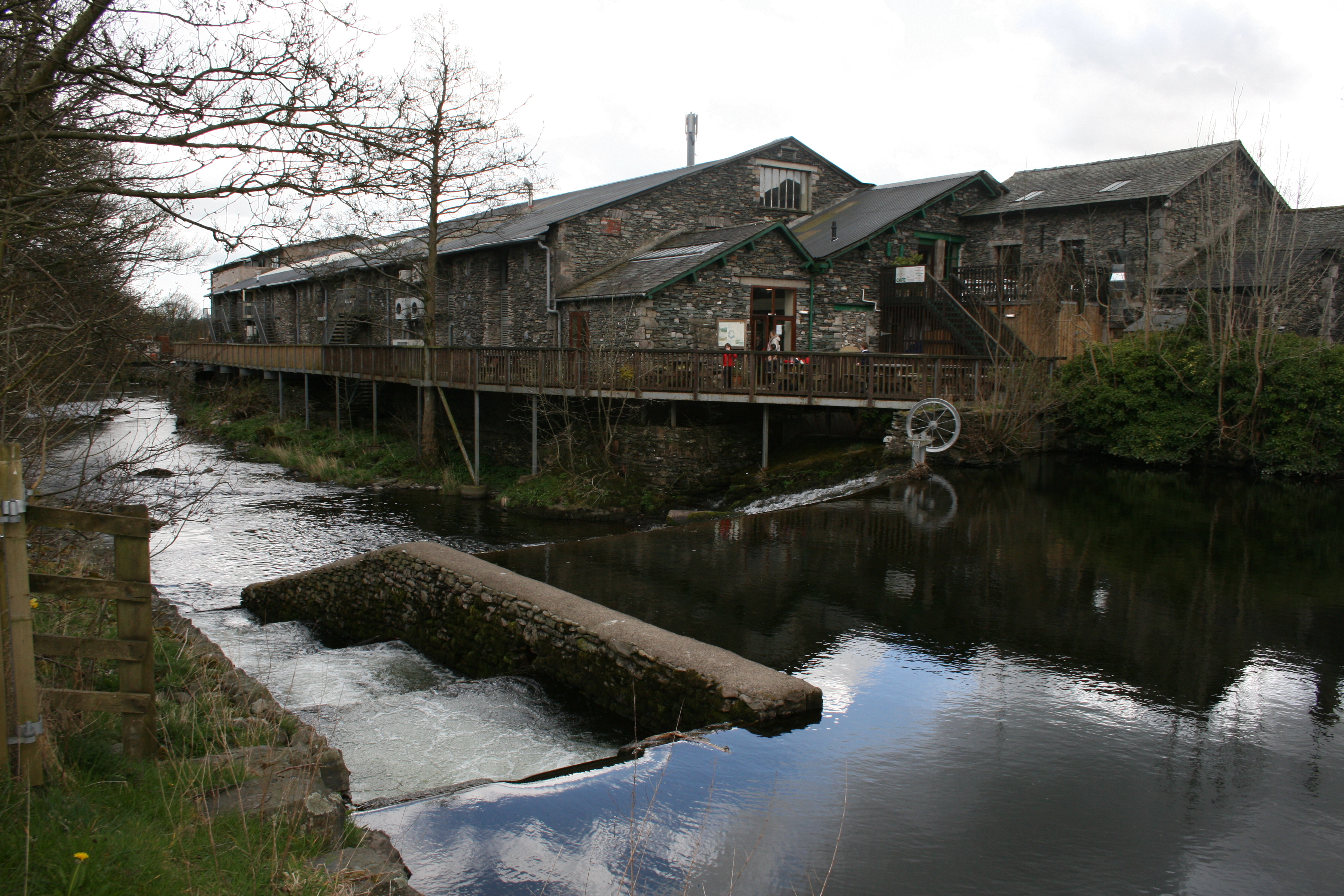
Staveley Mill Yard
Staveley Mill Yard is a former bobbin (spool) mill, which is now used for a variety of different local industries, shops and other commercial ventures...

Over Staveley
Over Staveley is a civil parish in South Lakeland, Cumbria, England. The parish comprises most of the village of Staveley north of the River Gowan, and...
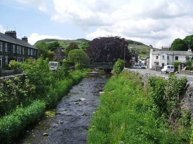
River Gowan, Cumbria
The River Gowan is a short river in Cumbria, running easterly through the village of Ings before joining the River Kent at Staveley. == Etymology == It...
Nearby Amenities
Located within 500m of 54.381941,-2.8106142Have you been to Birkhag Wood?
Leave your review of Birkhag Wood below (or comments, questions and feedback).