Coleshill

Settlement in Flintshire

Wales

Coleshill

A carpet of snowdrops and a derelict cottage A carpet of snowdrops lead to a small derelict cottage sitting next to Afon Nant-y-Fflint. Just an entrance porch, two rooms with fireplaces and an extension to the side. The roof has long gone.
A carpet of snowdrops and a derelict cottage Credit: Sion Jones

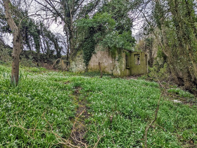
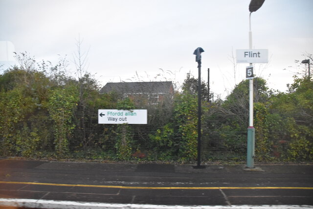
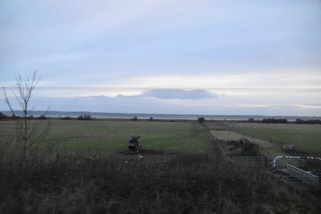
Coleshill is a small village located in Flintshire, Wales. Situated approximately 5 miles south-west of the town of Flint, it is nestled in the undulating countryside of the region. The village is characterized by its rural charm, with picturesque landscapes and a close-knit community.

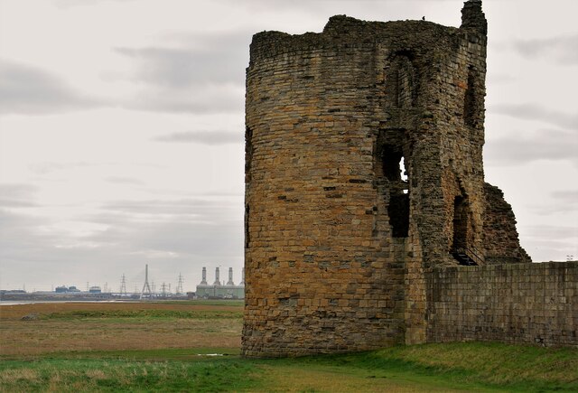
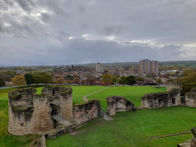
The history of Coleshill dates back to ancient times, as evidenced by the presence of a Roman road that passes through the village. Over the centuries, the village has seen various changes and developments, but it has managed to retain its traditional character. The architecture in Coleshill is largely comprised of small cottages and farmhouses, which add to the village's quaint appeal.

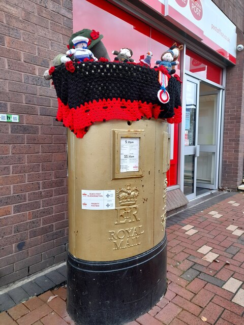
Despite its small size, Coleshill offers a range of amenities to its residents. There is a local primary school that serves the village and the surrounding area, providing education for the younger population. Additionally, there are a few local businesses, including a post office and a convenience store, which cater to the needs of the community.

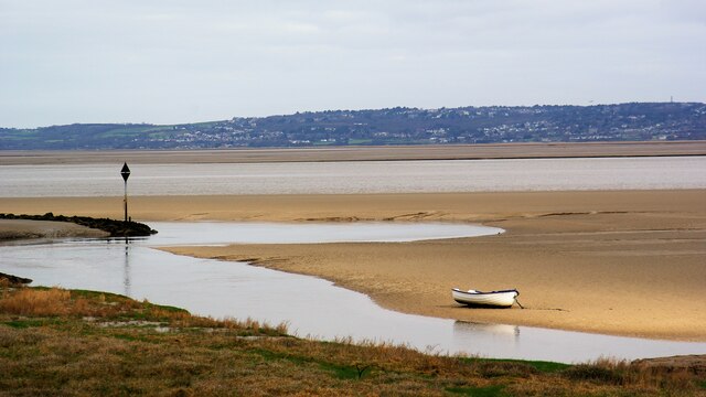
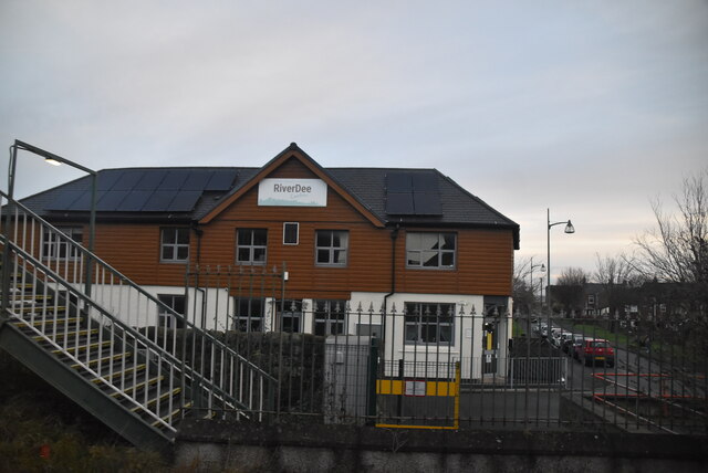
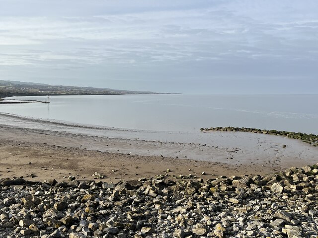
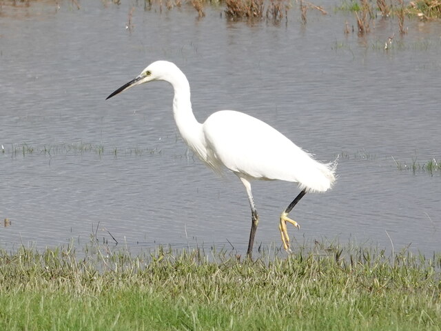
Coleshill is surrounded by beautiful countryside, making it an ideal location for outdoor enthusiasts. There are several walking trails and nature reserves nearby, where visitors can enjoy the natural beauty of the area. The village also benefits from its proximity to the River Dee, which provides opportunities for fishing and boating.

Overall, Coleshill is a charming village that offers a peaceful and idyllic lifestyle. With its rich history, beautiful surroundings, and strong sense of community, it continues to be a desirable place to live in Flintshire.

If you have any feedback on the listing, please let us know in the comments section below.
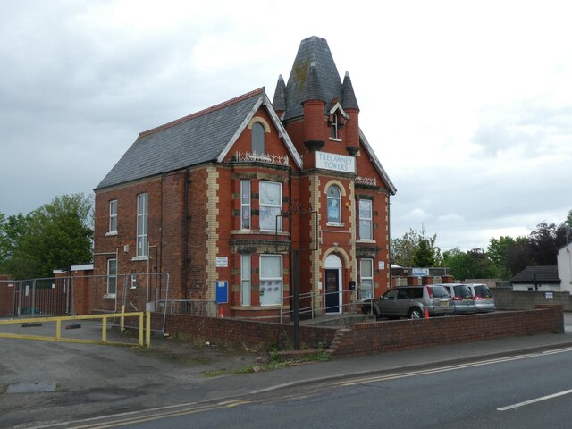
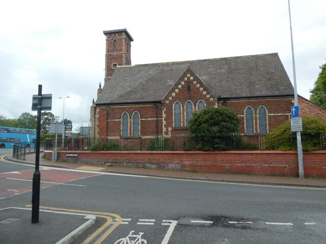
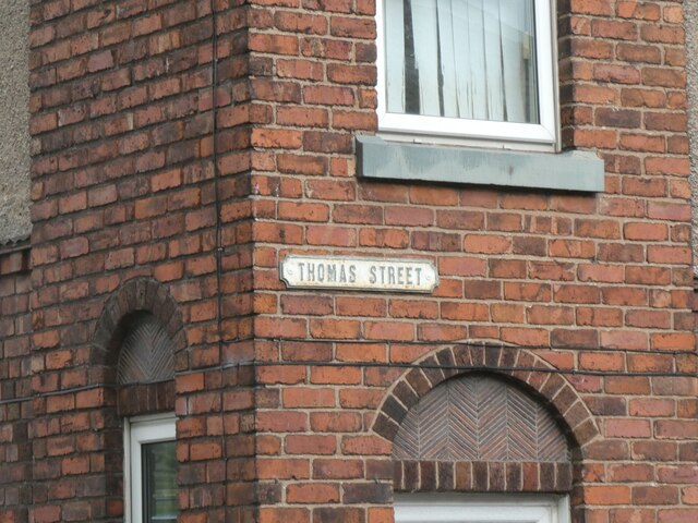
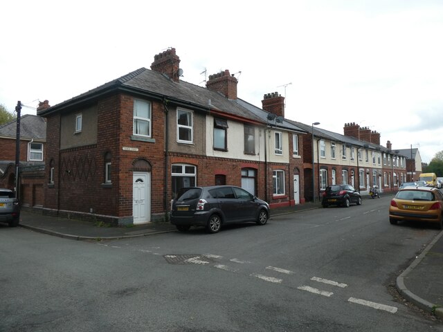
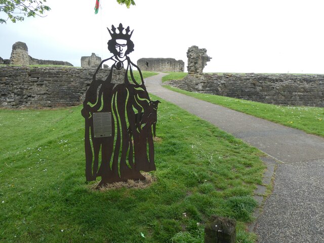
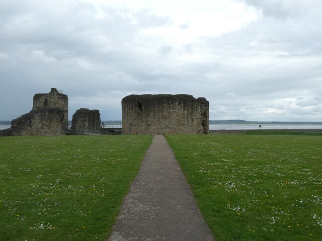
Coleshill Images

Images are sourced within 2km of 53.248408/-3.1554447 or Grid Reference SJ2373. Thanks to Geograph Open Source API. All images are credited.

A carpet of snowdrops and a derelict cottage A carpet of snowdrops lead to a small derelict cottage sitting next to Afon Nant-y-Fflint. Just an entrance porch, two rooms with fireplaces and an extension to the side. The roof has long gone.
A carpet of snowdrops and a derelict cottage
A carpet of snowdrops lead to a small derelict cottage sitting next to Afon Nant-y-Fflint. Just an entrance porch, two rooms with fireplaces and an extension to the side. The roof has long gone.
Flint Castle, NE Round Tower With view along River Dee to A548 bridge
Flint Castle, NE Round Tower
With view along River Dee to A548 bridge
Creek off River Dee View from north of Flint Castle on Wales Coast Path
Creek off River Dee
View from north of Flint Castle on Wales Coast Path
View from Flint Castle View from the NE tower.
View from Flint Castle
View from the NE tower.
Postbox at Flint CH6 168. Royal Mail list this box as 'Flint Main Post Office'.
Postbox at Flint
CH6 168. Royal Mail list this box as 'Flint Main Post Office'.
Flint Station Flint station serves the town of Flint in Flintshire. It located on the North Wales Coast Line and is managed by Arriva Trains Wales, who provide most of the passenger trains that call here. There are certain Virgin Trains services that serve the station.
Flint Station
Flint station serves the town of Flint in Flintshire. It located on the North Wales Coast Line and is managed by Arriva Trains Wales, who provide most of the passenger trains that call here. There are certain Virgin Trains services that serve the station.
River Dee Centre
River Dee Centre
Panton Cop
Panton Cop
Dee estuary at Flint Point
Little Egret at Flint Castle The Little Egret was taking advantage of the very high tide to explore the marsh in front of Flint Castle.
Little Egret at Flint Castle
The Little Egret was taking advantage of the very high tide to explore the marsh in front of Flint Castle.
Flint, Y Fflint station
Trelawney Towers on Chester Road, Flint The building was named on the 1930s OS map; now it is used by a hair salon and day nursery
Trelawney Towers on Chester Road, Flint
The building was named on the 1930s OS map; now it is used by a hair salon and day nursery
Methodist church, Flint Notable ornate brickwork from the end of the 19th century
Methodist church, Flint
Notable ornate brickwork from the end of the 19th century
Cast metal street sign, Thomas Street, Flint
Houses in Thomas Street, Flint A close up of the street sign is at <a href="https://www.geograph.org.uk/photo/7542045">SJ2473 : Cast metal street sign, Thomas Street, Flint</a>
Houses in Thomas Street, Flint
A close up of the street sign is at SJ2473 : Cast metal street sign, Thomas Street, Flint
Welcome sign for Flint Castle Listed buildings and structures are officially designated as being of special architectural, historical or cultural significance. There are over half a million listed structures in the United Kingdom, covered by around 375,000 listings.
Listed status is more commonly associated with buildings or groups of buildings, however it can cover many other structures, including bridges, headstones, steps, ponds, monuments, walls, phone boxes, wrecks, parks, and heritage sites, and in more recent times a road crossing (Abbey Road) and graffiti art (Banksy 'Spy-booth') have been included.

In England and Wales there are three main listing designations;
Grade I (2.5%) - exceptional interest, sometimes considered to be internationally important.
Grade II* (5.5%) - particularly important buildings of more than special interest. 
Grade II (92%) - nationally important and of special interest. 

There are also locally listed structures (at the discretion of local authorities) using A, B and C designations.

In Scotland three classifications are also used but the criteria are different. There are around 47,500 Listed buildings.
Category A (8%)- generally equivalent to Grade I and II* in England and Wales
Category B (51%)- this appears generally to cover the ground of Grade II, recognising national importance.
Category C (41%)- buildings of local importance, probably with some overlap with English Grade II.

In Northern Ireland the criteria are similar to Scotland, but the classifications are:
Grade A (2.3%)
Grade B+ (4.7%)
Grade B (93%)

Read more at Wikipedia <span class="nowrap"><a title="http://en.wikipedia.org/wiki/Listed_building" rel="nofollow ugc noopener" href="http://en.wikipedia.org/wiki/Listed_building">Link</a><img style="margin-left:2px;" alt="External link" title="External link - shift click to open in new window" src="https://s1.geograph.org.uk/img/external.png" width="10" height="10"/></span>
Welcome sign for Flint Castle
Listed buildings and structures are officially designated as being of special architectural, historical or cultural significance. There are over half a million listed structures in the United Kingdom, covered by around 375,000 listings. Listed status is more commonly associated with buildings or groups of buildings, however it can cover many other structures, including bridges, headstones, steps, ponds, monuments, walls, phone boxes, wrecks, parks, and heritage sites, and in more recent times a road crossing (Abbey Road) and graffiti art (Banksy 'Spy-booth') have been included. In England and Wales there are three main listing designations; Grade I (2.5%) - exceptional interest, sometimes considered to be internationally important. Grade II* (5.5%) - particularly important buildings of more than special interest. Grade II (92%) - nationally important and of special interest. There are also locally listed structures (at the discretion of local authorities) using A, B and C designations. In Scotland three classifications are also used but the criteria are different. There are around 47,500 Listed buildings. Category A (8%)- generally equivalent to Grade I and II* in England and Wales Category B (51%)- this appears generally to cover the ground of Grade II, recognising national importance. Category C (41%)- buildings of local importance, probably with some overlap with English Grade II. In Northern Ireland the criteria are similar to Scotland, but the classifications are: Grade A (2.3%) Grade B+ (4.7%) Grade B (93%) Read more at Wikipedia LinkExternal link
Flint Castle with River Dee in background
Show me another place!

Coleshill is located at Grid Ref: SJ2373 (Lat: 53.248408, Lng: -3.1554447)

Unitary Authority: Flintshire

Police Authority: North Wales

What 3 Words

///regret.moons.dares. Near Flint, Flintshire

Nearby Locations

Coleshill Red Wood

Related Wikis

Flintshire (historic)

Until 1974, Flintshire (Welsh: Sir y Fflint), also known as the County of Flint, was an administrative county in the north-east of Wales, later classed...

Cornist Hall

Cornist Hall is a large house 1 mile (1.6 km) west-southwest of the town of Flint, Flintshire, Wales. It was the birthplace in 1746 of Thomas Totty, an...
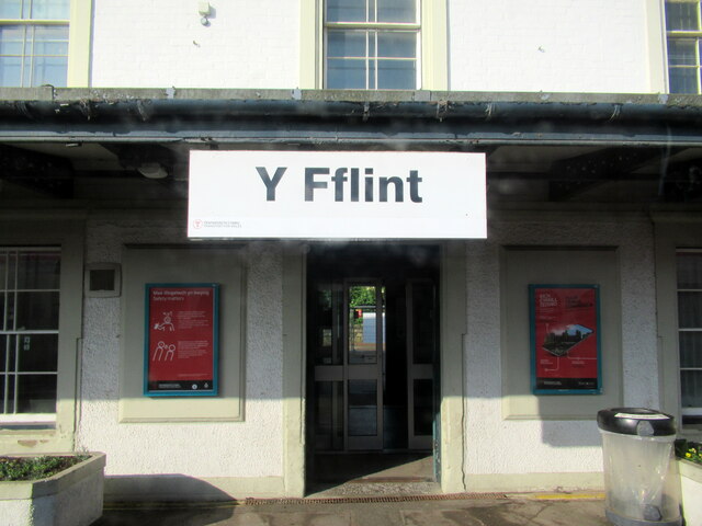
Flint, Flintshire

Flint (Welsh: Y Fflint) is a town and community in Flintshire, Wales, lying on the estuary of the River Dee. It is the former county town of Flintshire...

Flint Town Hall

Flint Town Hall (Welsh: Neuadd y Dref Y Fflint) is a municipal structure in the Market Square, Flint, Flintshire, Wales. The town hall, which is the meeting...

Nearby Amenities

Located within 500m of 53.248408,-3.1554447
Power: pole
Lat/Long: 53.2456122/-3.1594491
Power: pole
Lat/Long: 53.2464131/-3.1587786
Power: pole
Lat/Long: 53.2471/-3.1582395
Power: pole
Lat/Long: 53.2477243/-3.1572309
Power: pole
Lat/Long: 53.2483598/-3.1561876
Power: pole
Lat/Long: 53.2488943/-3.1552676
Power: pole
Lat/Long: 53.249469/-3.1543473
Power: pole
Lat/Long: 53.2499581/-3.1535299
Power: pole
Lat/Long: 53.2505873/-3.1524867
Power: pole
Lat/Long: 53.2512216/-3.1514649
Power: pole
Lat/Long: 53.251428/-3.1504345
Power: pole
Lat/Long: 53.2515006/-3.1505601
Power: pole
Lat/Long: 53.2513247/-3.1516043
Power: pole
Lat/Long: 53.251254/-3.1529595
Power: pole
Lat/Long: 53.2512135/-3.1542977
Power: pole
Lat/Long: 53.2511569/-3.1558387
Power: pole
Lat/Long: 53.2511104/-3.1573966
Power: pole
Lat/Long: 53.25107/-3.1585422
Power: pole
Lat/Long: 53.2510214/-3.1595999
Direction: 235
Generator Method: photovoltaic
Generator Output Electricity: yes
Generator Solar Modules: 15
Generator Source: solar
Generator Type: solar_photovoltaic_panel
Location: roof
Power: generator
Lat/Long: 53.2464516/-3.1498575
Direction: SSE
Generator Method: photovoltaic
Generator Output Electricity: yes
Generator Solar Modules: 16
Generator Source: solar
Generator Type: solar_photovoltaic_panel
Location: roof
Power: generator
Lat/Long: 53.2477793/-3.1510296
Direction: SSE
Generator Method: photovoltaic
Generator Output Electricity: yes
Generator Solar Modules: 11
Generator Source: solar
Generator Type: solar_photovoltaic_panel
Location: roof
Power: generator
Lat/Long: 53.2485119/-3.1507976
Direction: SSW
Generator Method: photovoltaic
Generator Output Electricity: yes
Generator Solar Modules: 12
Generator Source: solar
Generator Type: solar_photovoltaic_panel
Location: roof
Power: generator
Lat/Long: 53.2474228/-3.1489214
The data included in this document is from www.openstreetmap.org. The data is made available under ODbL.

Have you been to Coleshill?

Leave your review of Coleshill below (or comments, questions and feedback).