Ashes Coppice
Wood, Forest in Westmorland South Lakeland
England
Ashes Coppice
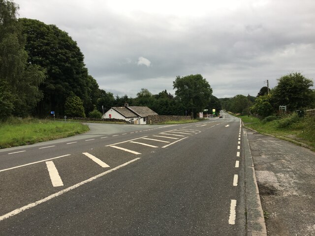
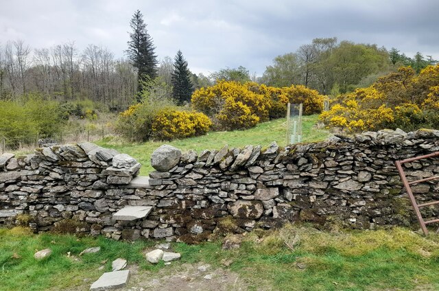
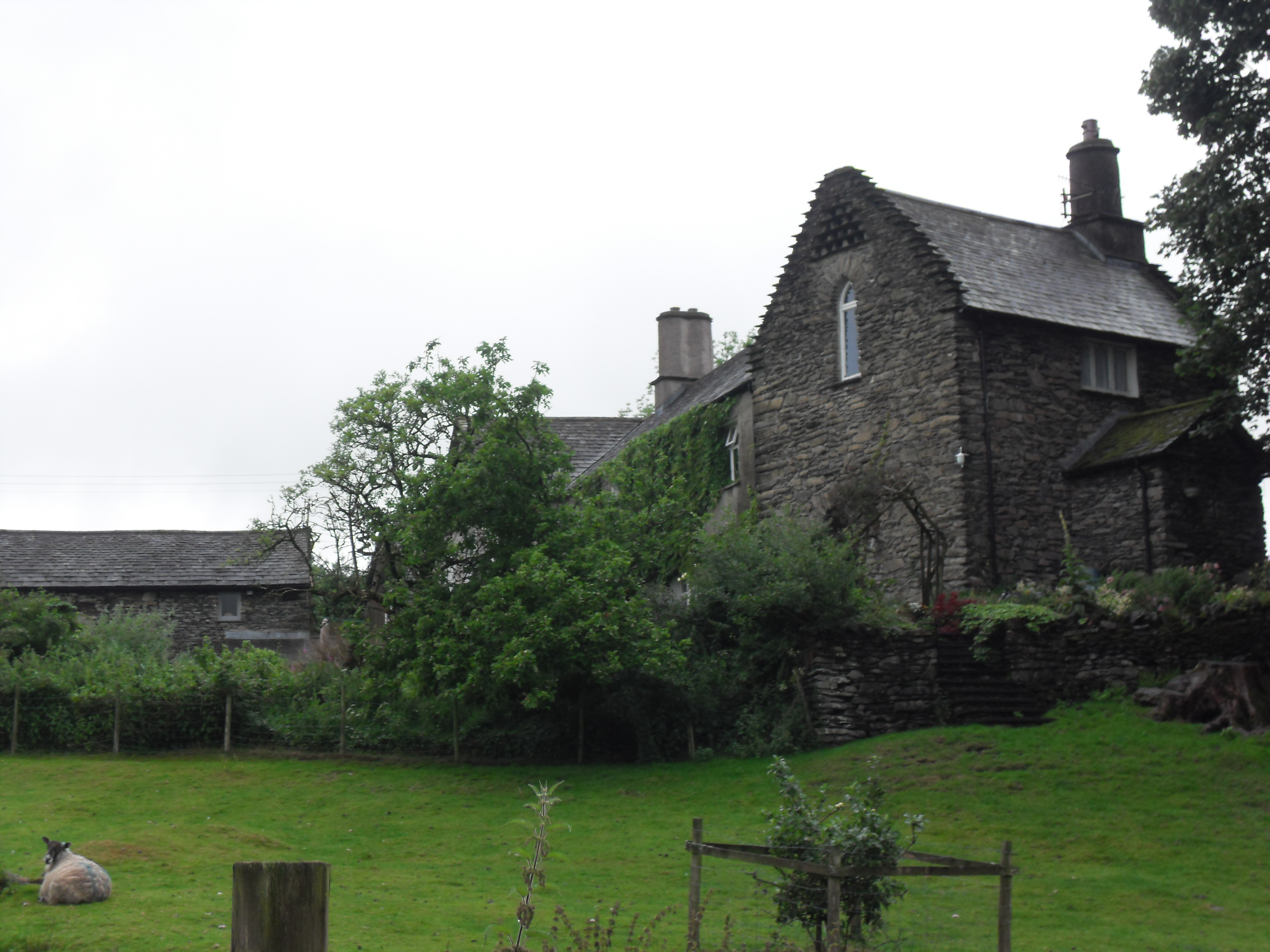
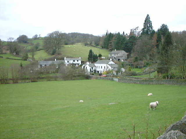
Ashes Coppice is a woodland located in the county of Westmorland, England. It is situated in a picturesque rural area, surrounded by rolling hills and scenic countryside. The coppice is known for its diverse range of trees, including oak, ash, birch, and beech, which create a rich and vibrant woodland ecosystem.
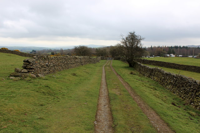
Covering an area of approximately 50 acres, Ashes Coppice offers a peaceful and tranquil environment for visitors to explore and enjoy. The woodland is home to a variety of wildlife, including deer, foxes, badgers, and numerous species of birds. It provides a haven for nature enthusiasts and offers opportunities for birdwatching and wildlife spotting.
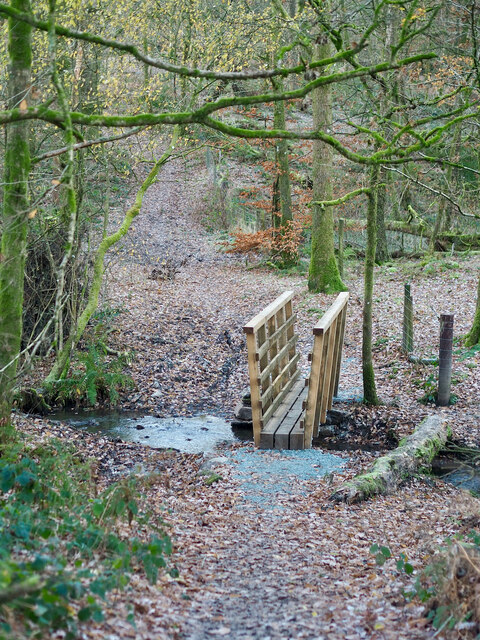
The woodland is crisscrossed by a network of well-maintained footpaths, allowing visitors to navigate through the area easily. These paths lead visitors through the different sections of the coppice, each with its own unique characteristics and charm. From open glades to dense thickets, Ashes Coppice offers a diverse range of landscapes to discover.
The woodland is also a popular spot for outdoor activities such as hiking, picnicking, and photography. Its natural beauty and peaceful atmosphere provide an ideal setting for those seeking a break from the hustle and bustle of everyday life.
Overall, Ashes Coppice is a captivating woodland in Westmorland, offering a chance to connect with nature and experience the beauty of the English countryside.
If you have any feedback on the listing, please let us know in the comments section below.
Ashes Coppice Images
Images are sourced within 2km of 54.362685/-2.812651 or Grid Reference SD4796. Thanks to Geograph Open Source API. All images are credited.


Ashes Coppice is located at Grid Ref: SD4796 (Lat: 54.362685, Lng: -2.812651)
Administrative County: Cumbria
District: South Lakeland
Police Authority: Cumbria
What 3 Words
///given.fell.processes. Near Staveley, Cumbria
Nearby Locations
Related Wikis
Hollin Hall, Cumbria
Hollin Hall is a country house in Crook in Cumbria. It is a Grade II listed building. == History == The hall, formerly called Thwatterden Hall, is a 14th...
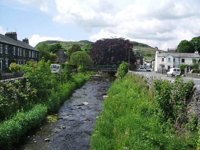
River Gowan, Cumbria
The River Gowan is a short river in Cumbria, running easterly through the village of Ings before joining the River Kent at Staveley. == Etymology == It...
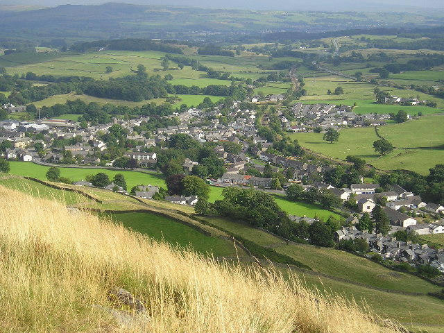
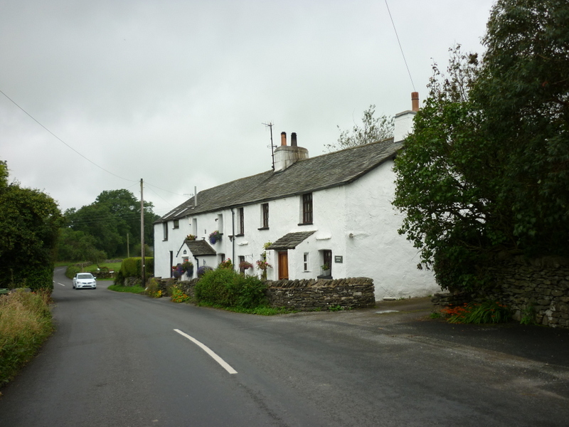
Staveley, Cumbria
Staveley (grid reference SD469981) is a village in the South Lakeland district, in Cumbria, England. Historically part of Westmorland, it is situated 4...
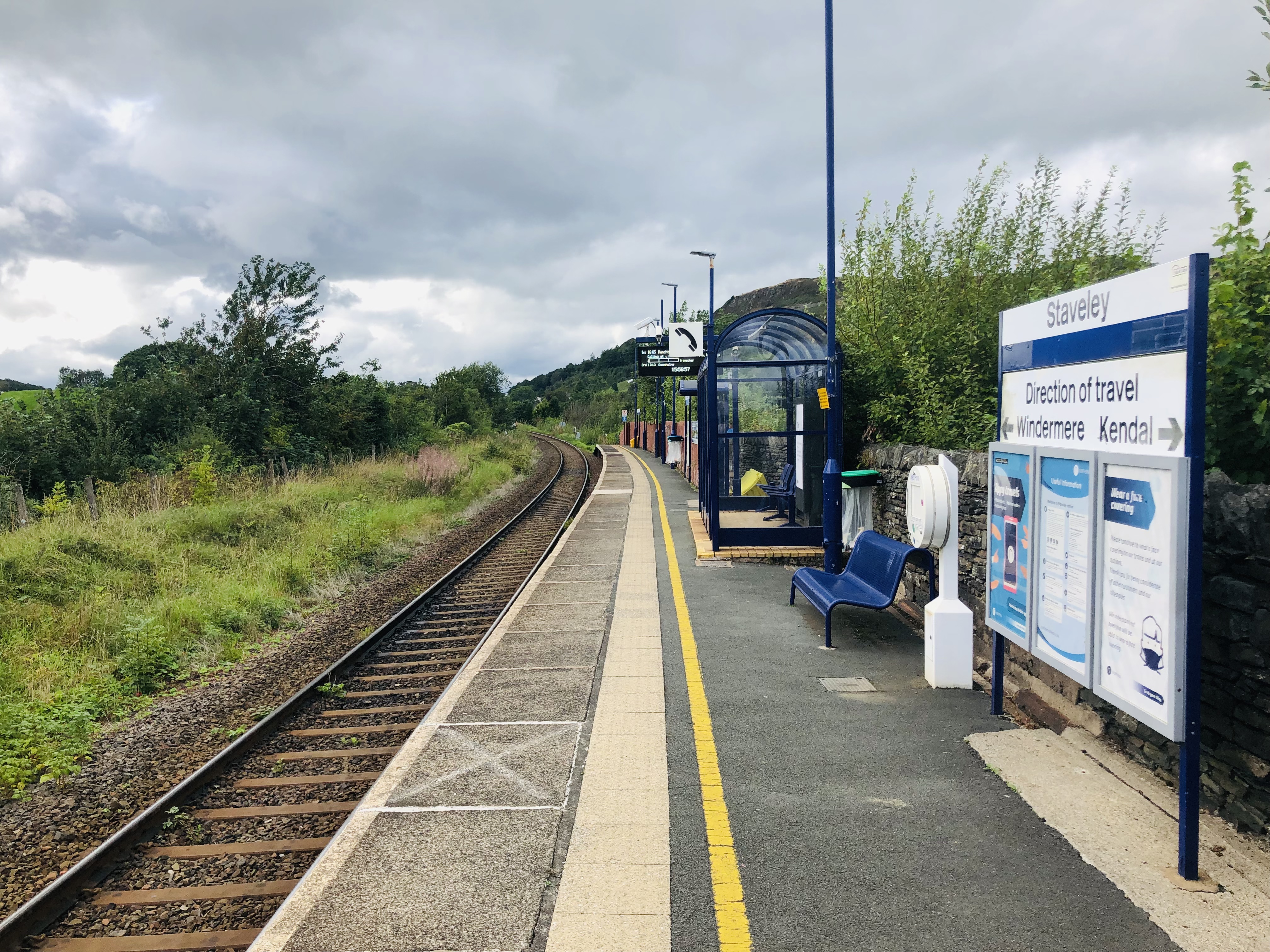
Staveley railway station
Staveley railway station is a railway station in Staveley in Cumbria, England. The station is on the Windermere Branch Line connecting Oxenholme and Windermere...

Nether Staveley
Nether Staveley is a civil parish in South Lakeland, Cumbria, England. The parish comprises the part of the village of Staveley south of the River Gowan...
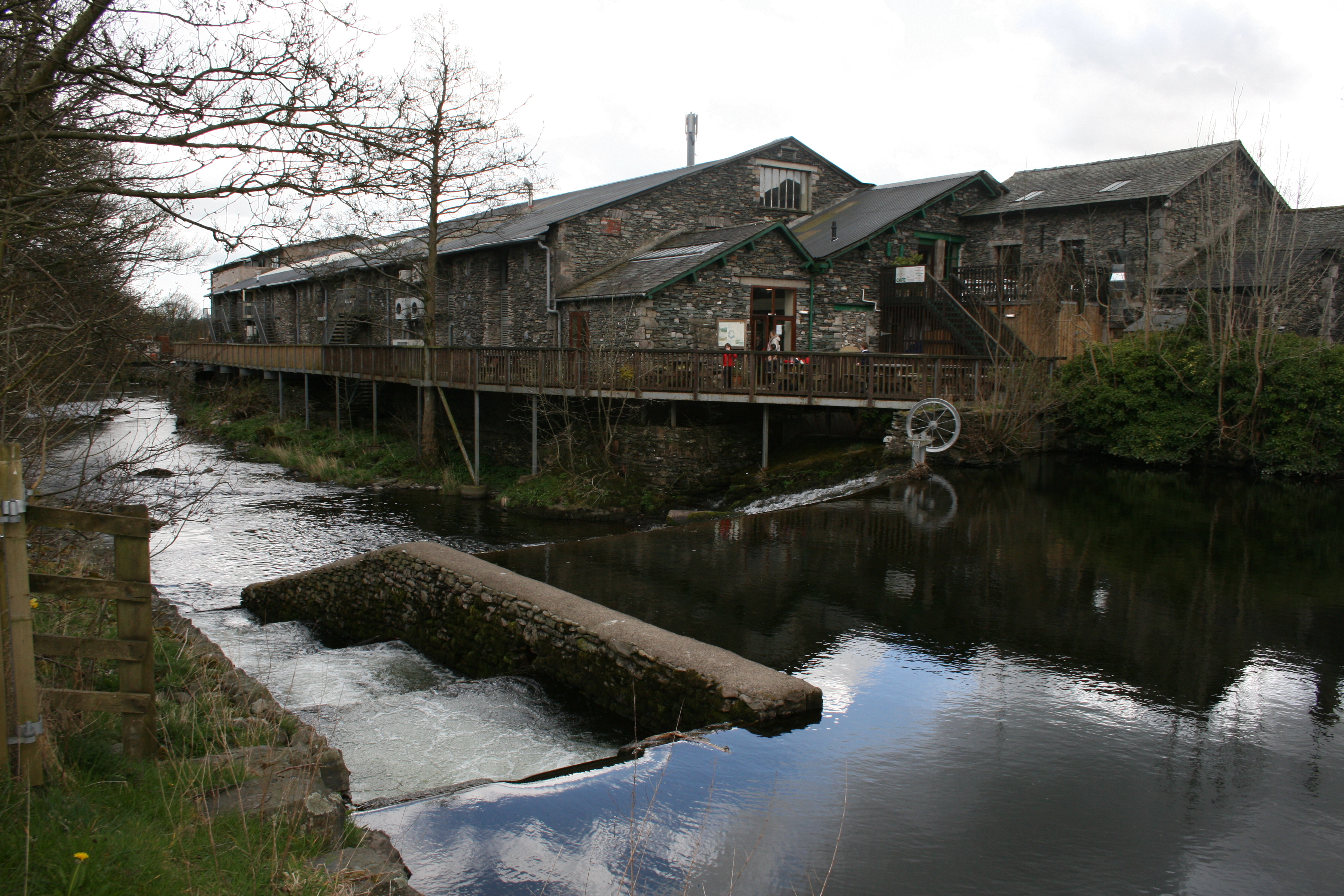
Staveley Mill Yard
Staveley Mill Yard is a former bobbin (spool) mill, which is now used for a variety of different local industries, shops and other commercial ventures...
Bonning Gate
Bonning Gate is a hamlet in Cumbria, England. It is located 3.2 miles (5.1 km) by road to the northwest of Kendal. == See also == List of places in Cumbria...
Crook, Cumbria
Crook is a village and civil parish in the South Lakeland district of the English county of Cumbria, located on the B5284 road between Kendal and Windermere...
Nearby Amenities
Located within 500m of 54.362685,-2.812651Have you been to Ashes Coppice?
Leave your review of Ashes Coppice below (or comments, questions and feedback).